Te-Ah
Dixie
Utah
Date filmed:2024-07-27
Number of sites:42
GPS:37.5344544, -112.8206185
Max vehicle length:50 Feet
Check in:2:00 pm
Check out:11:00 am
Quiet hours:10:00 pm - 6:00 am

Amenities and Activities

Amenities
Drinking Water
Fire Ring
Picnic Table
RVs
Tents
Accessible Sites
Flushing Toilets
Vault Toilets
Trash Collection
Shade
Dump Station
Water Spigot
Activities
Fishing
Hiking
Biking
Wildlife Viewing
Photography

Things to Do

Epic Views from 10,000 Feet

Exploring Cedar Breaks National Monument

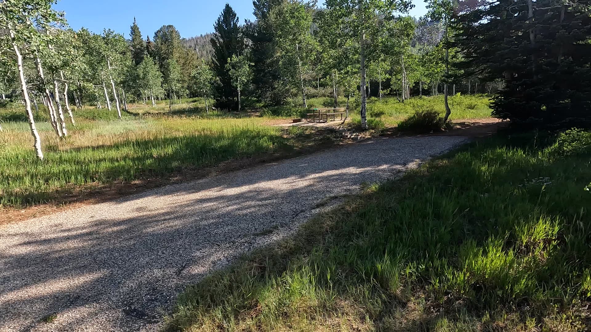
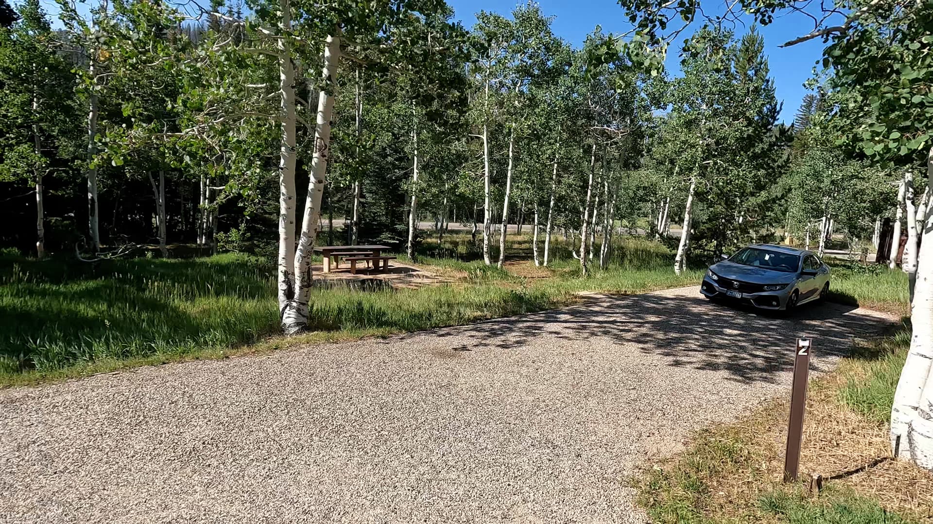
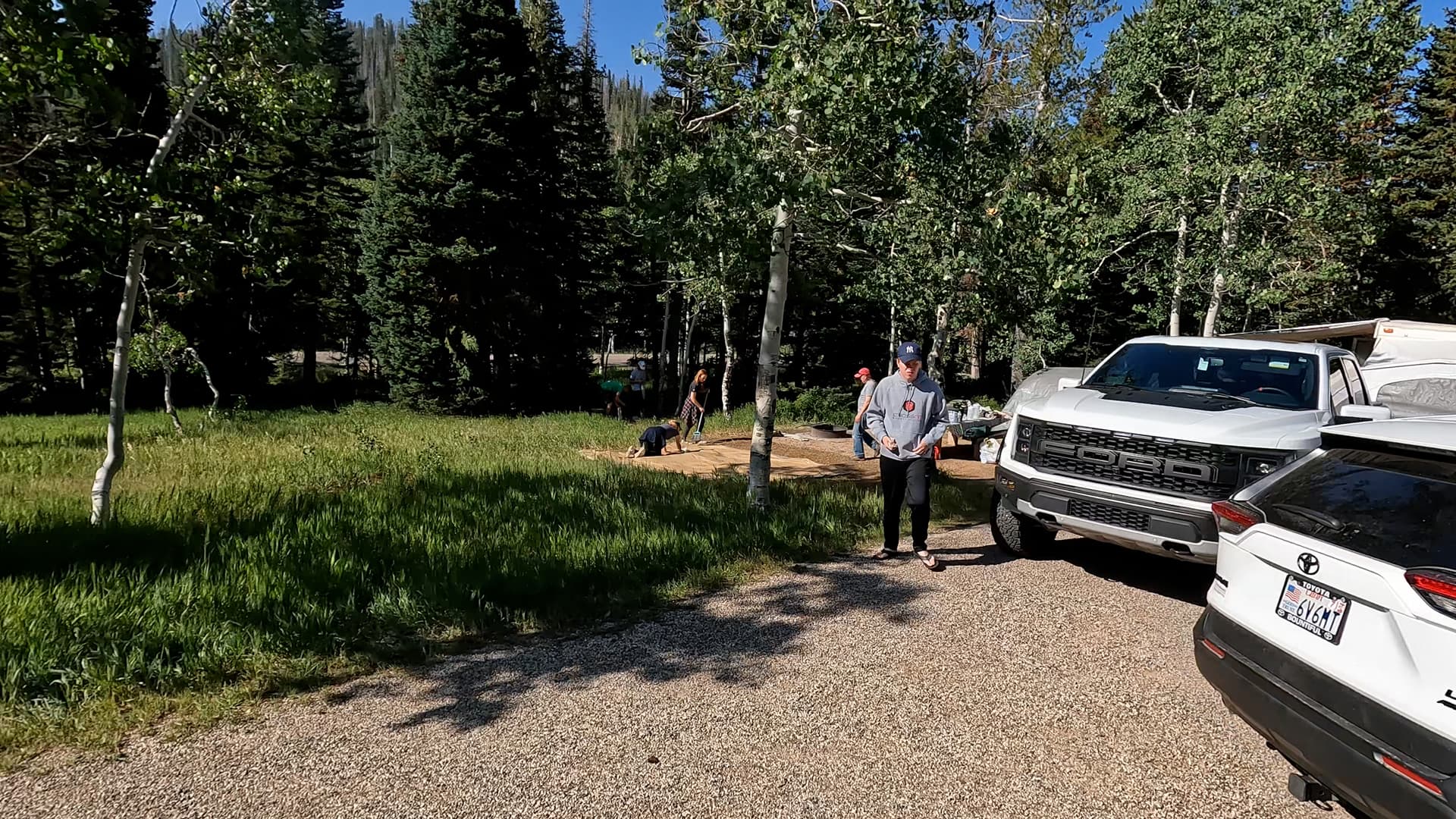
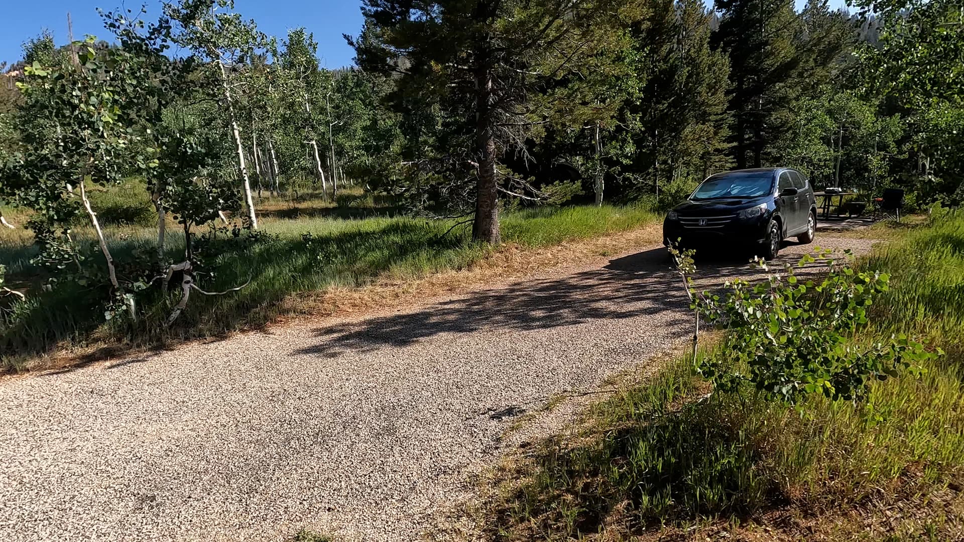
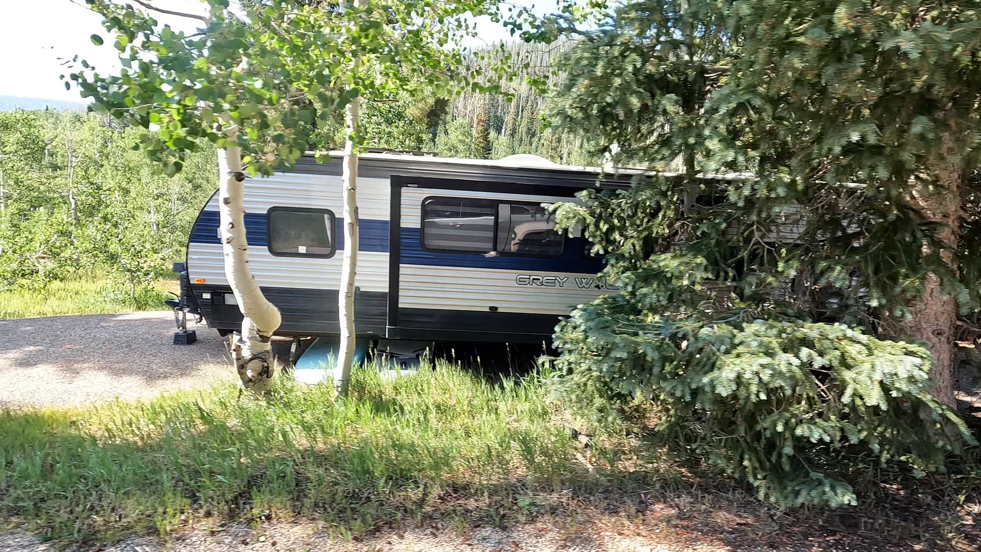
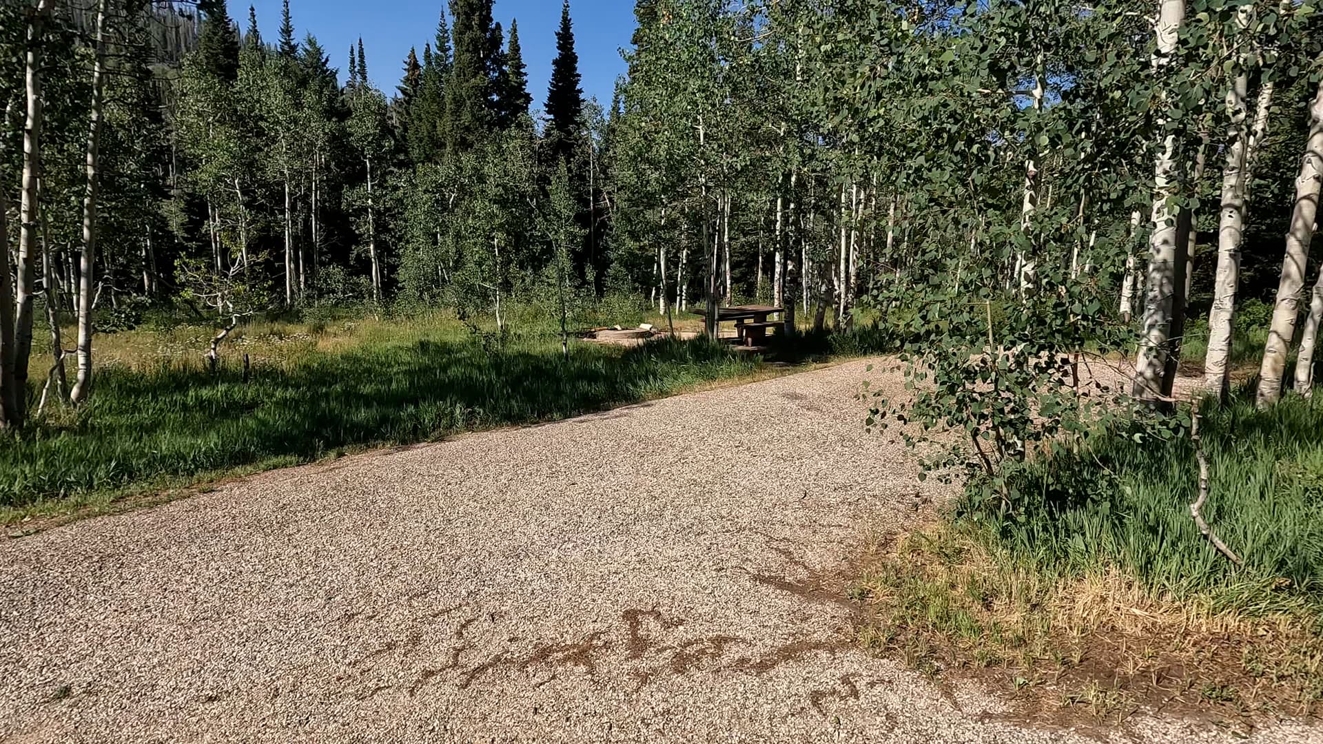
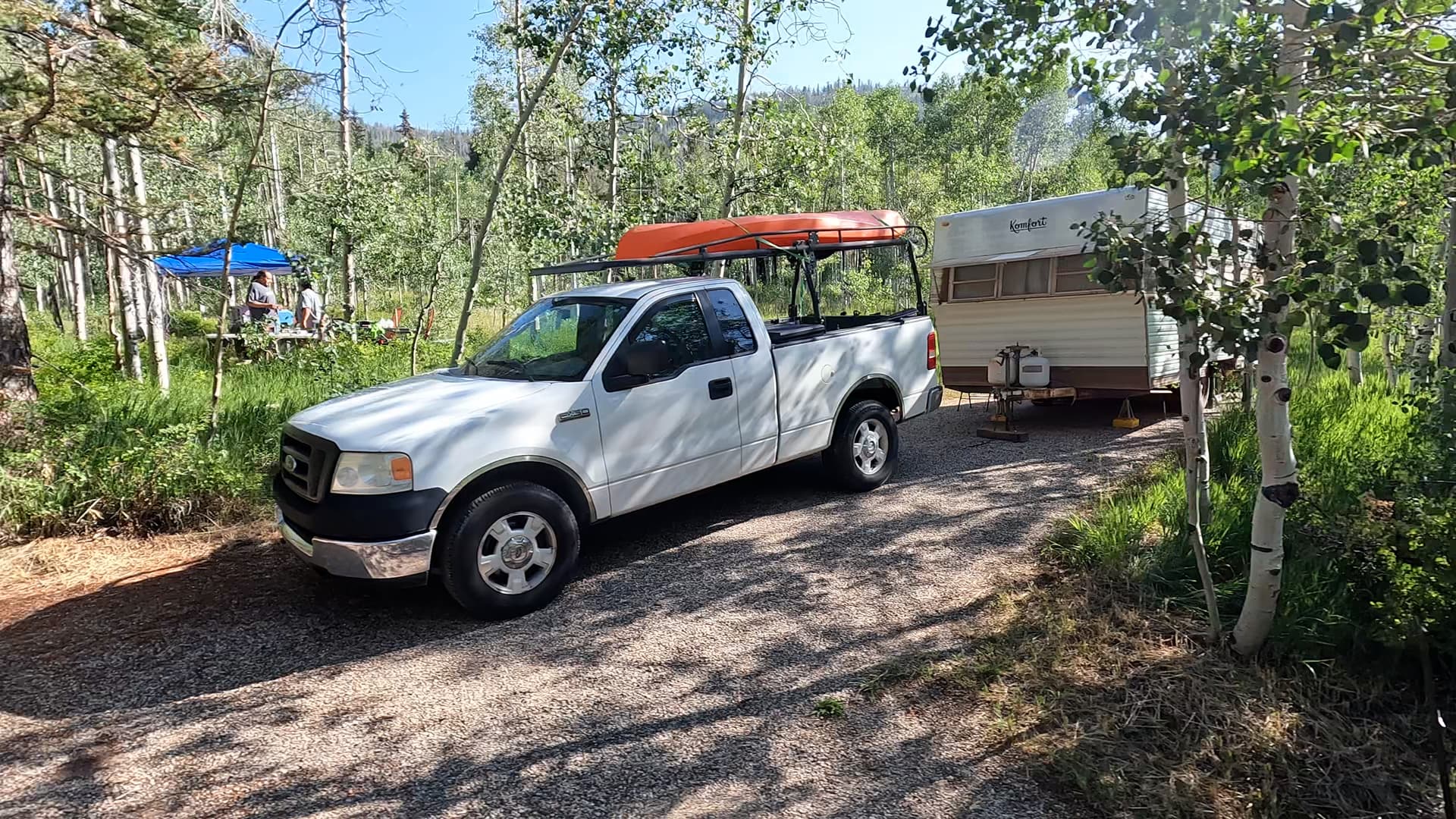
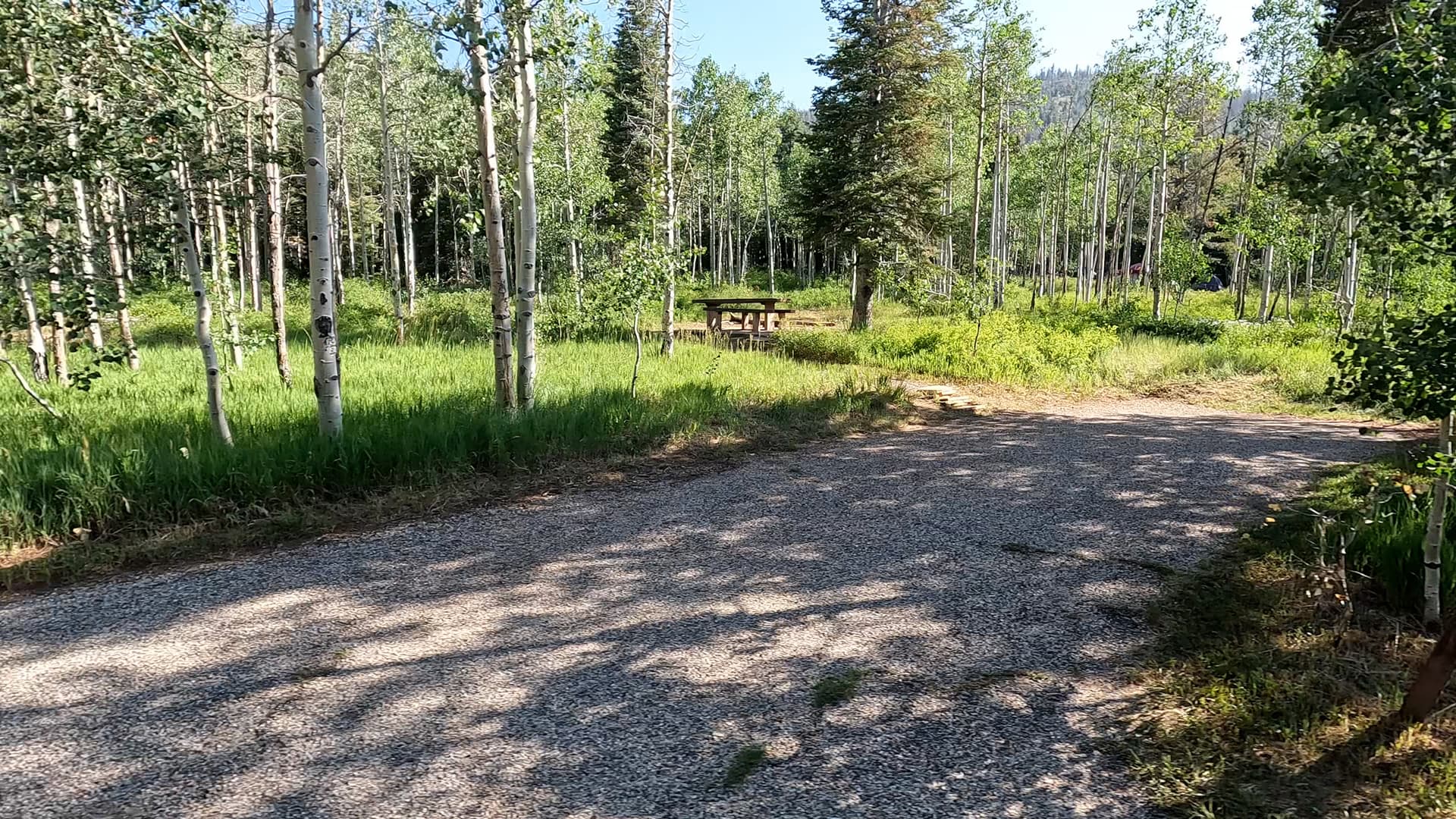
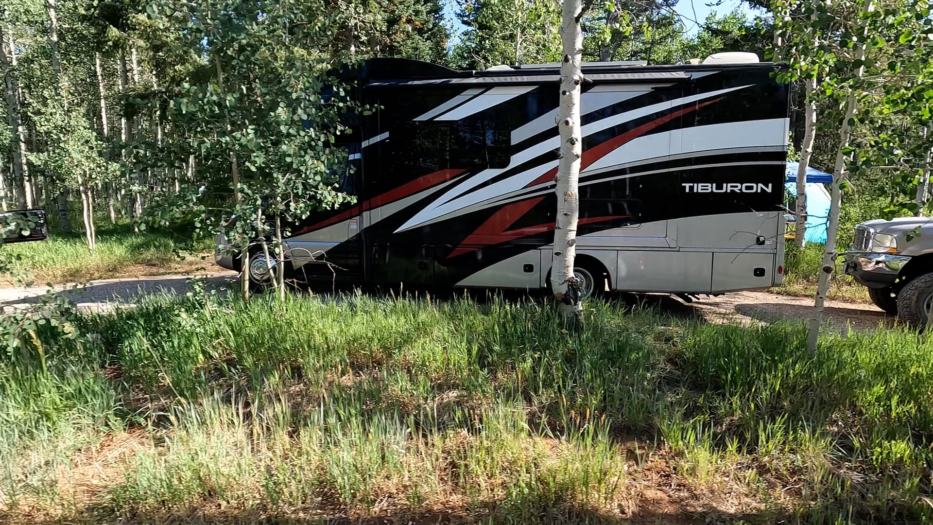
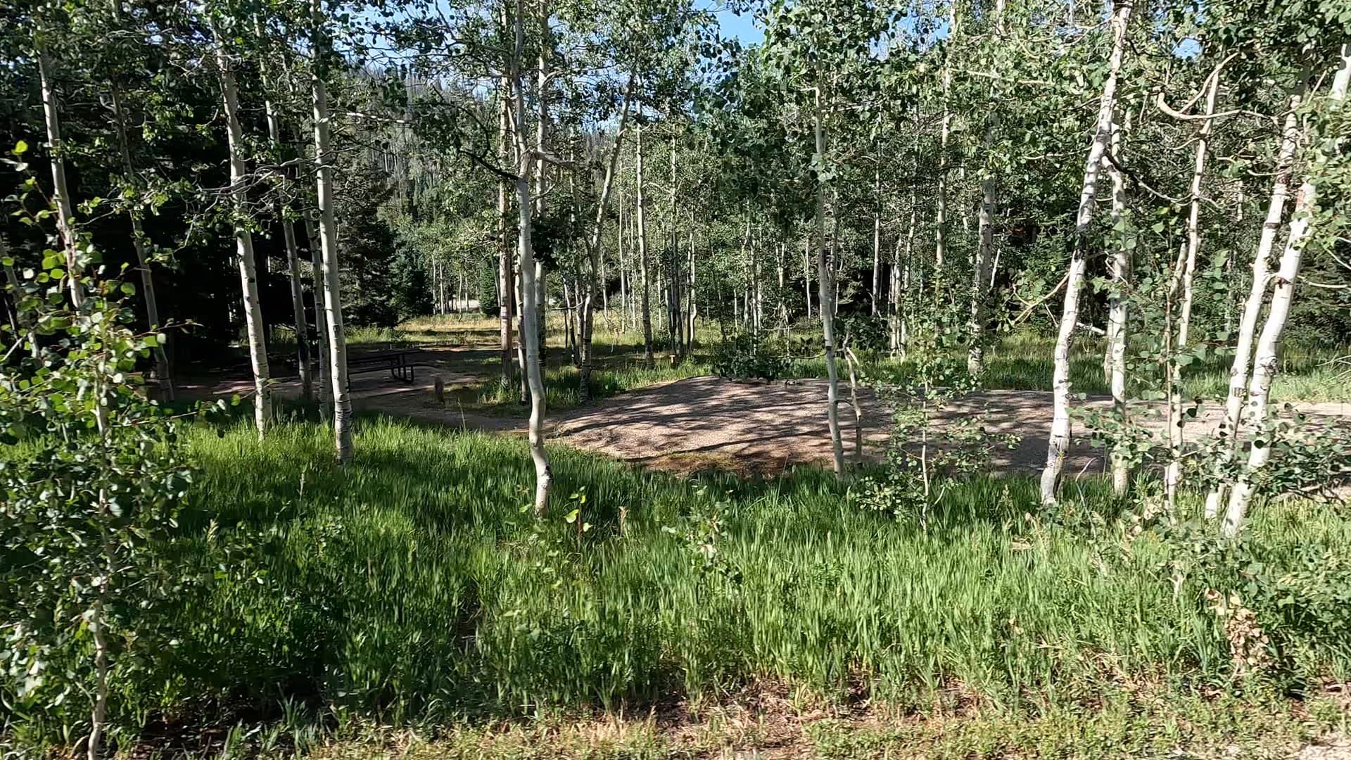
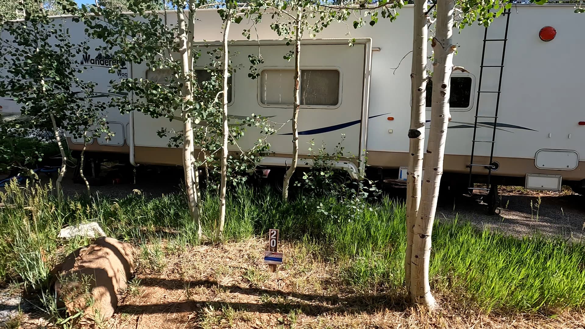
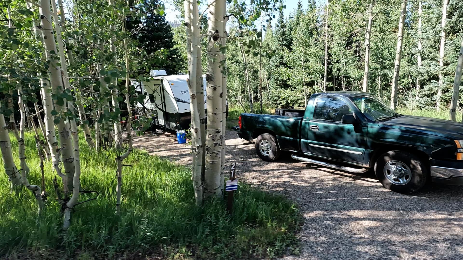
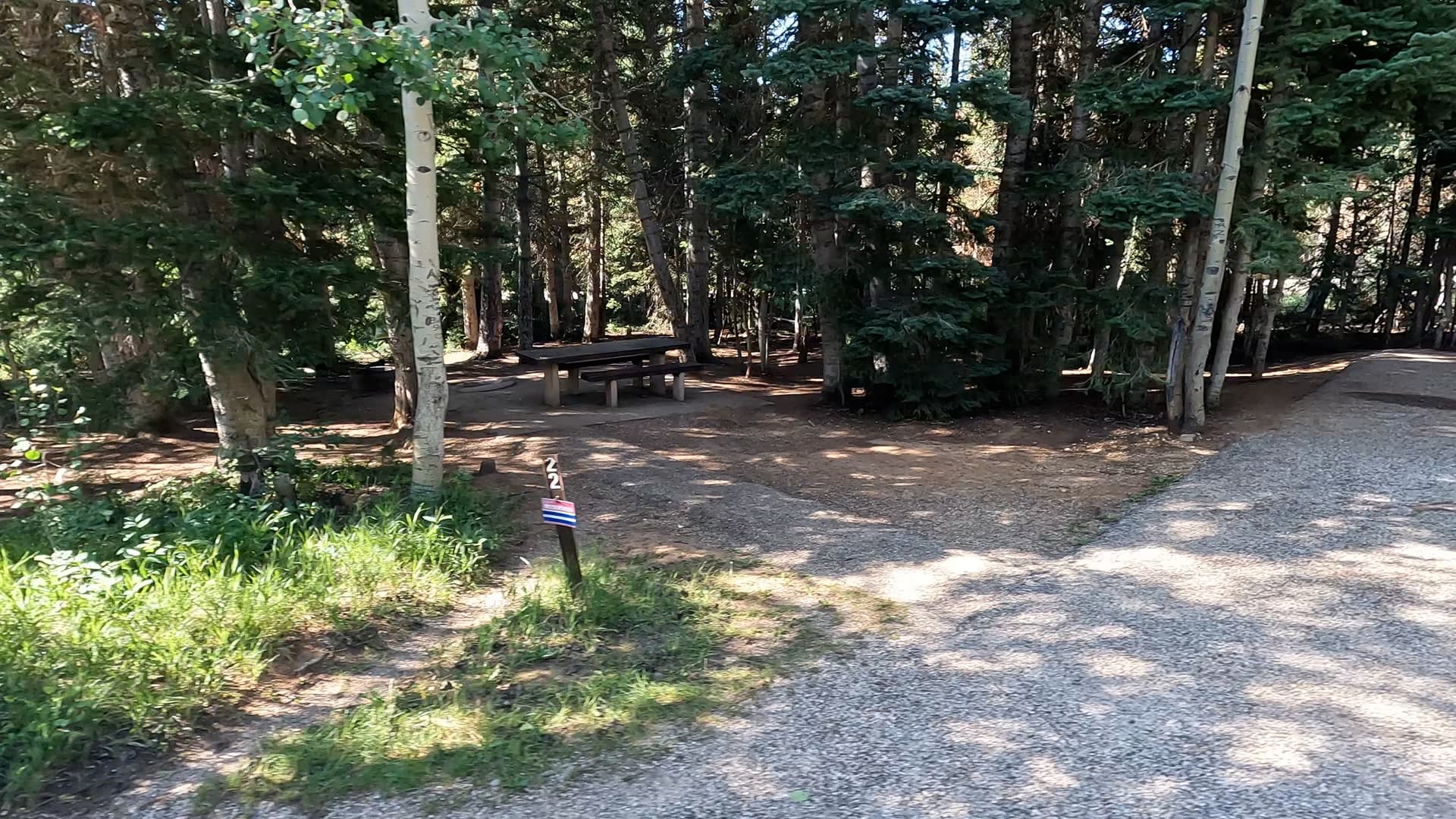
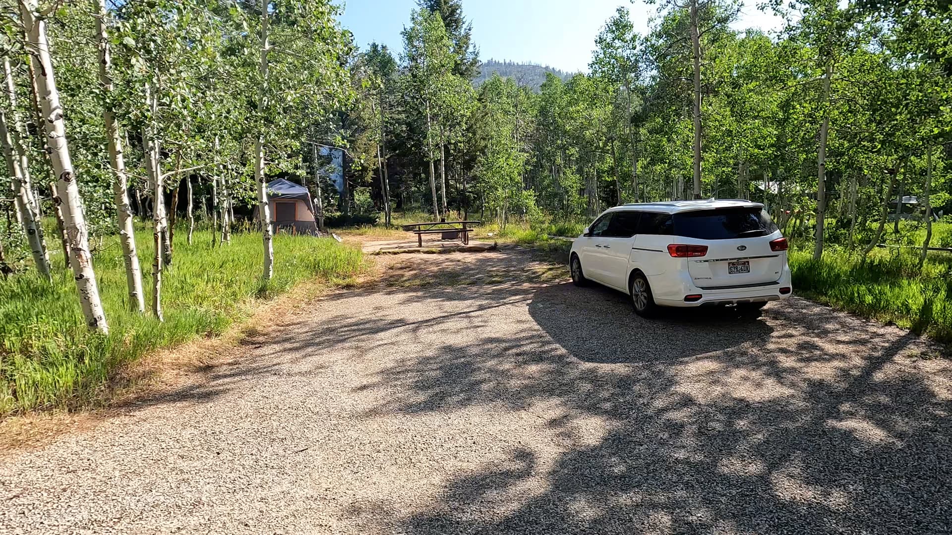
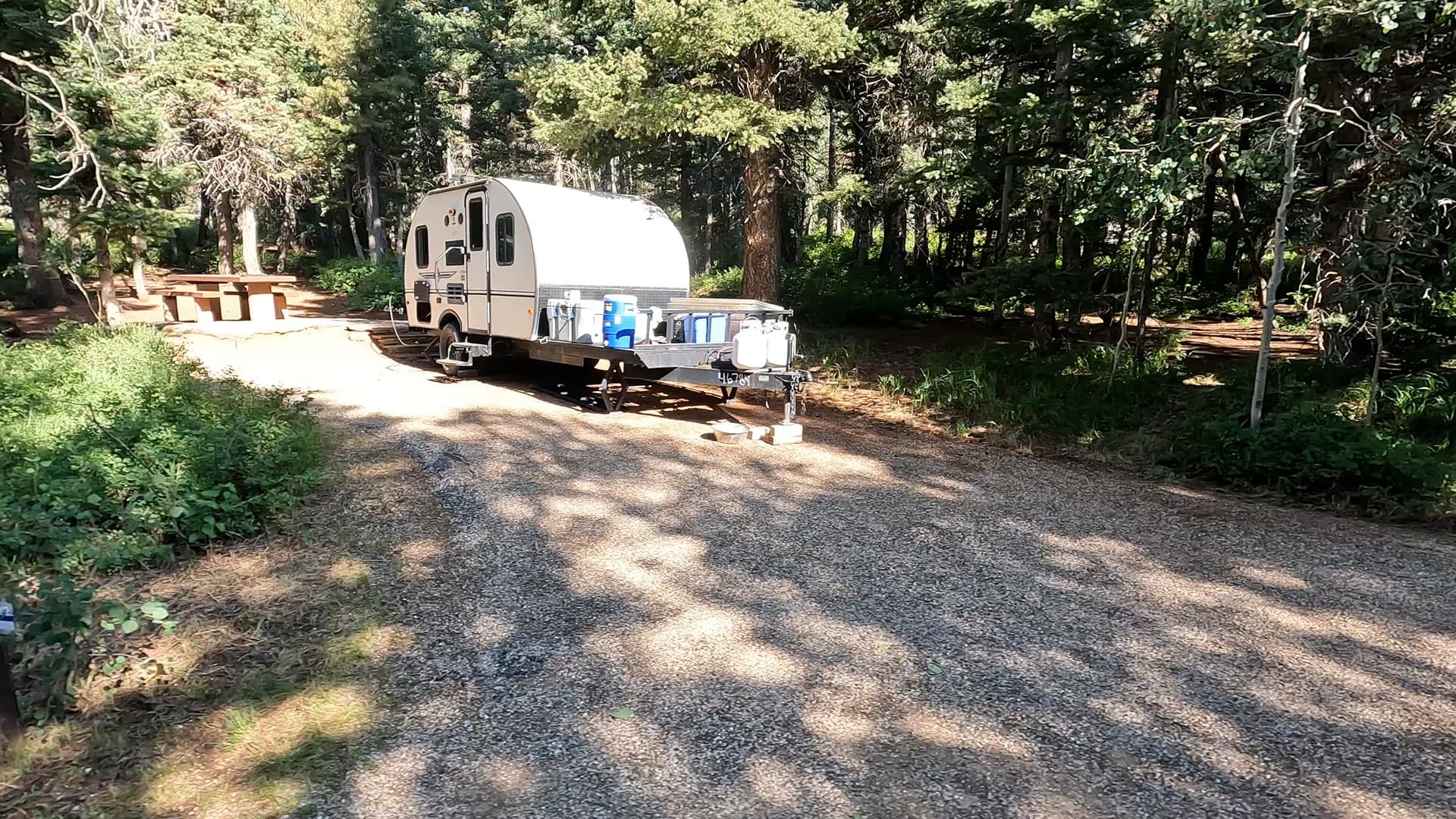
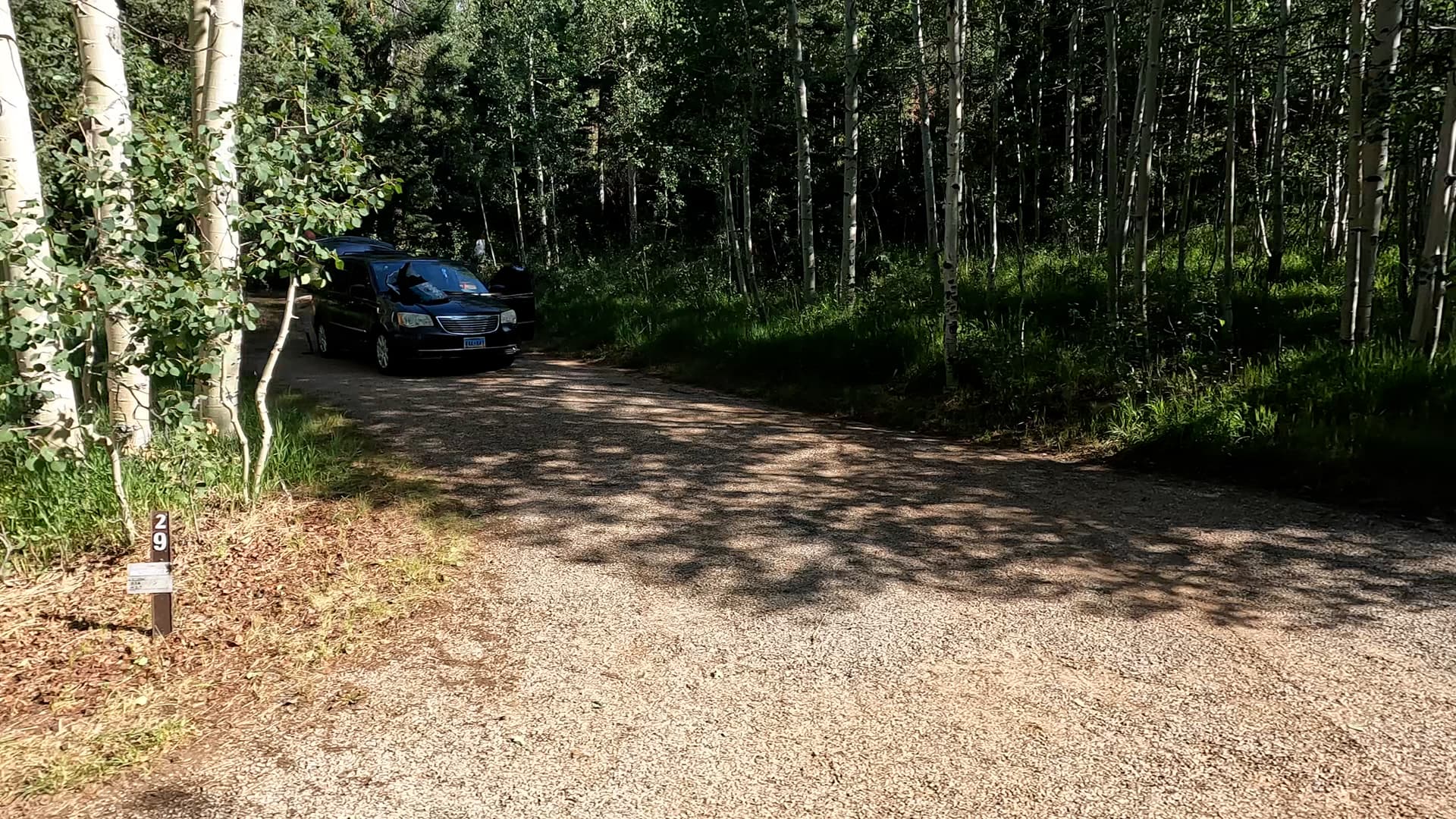
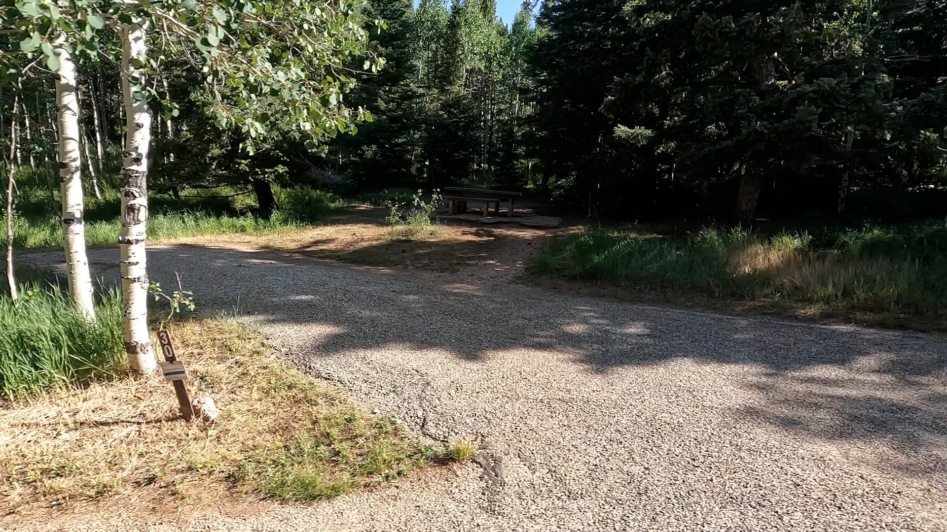
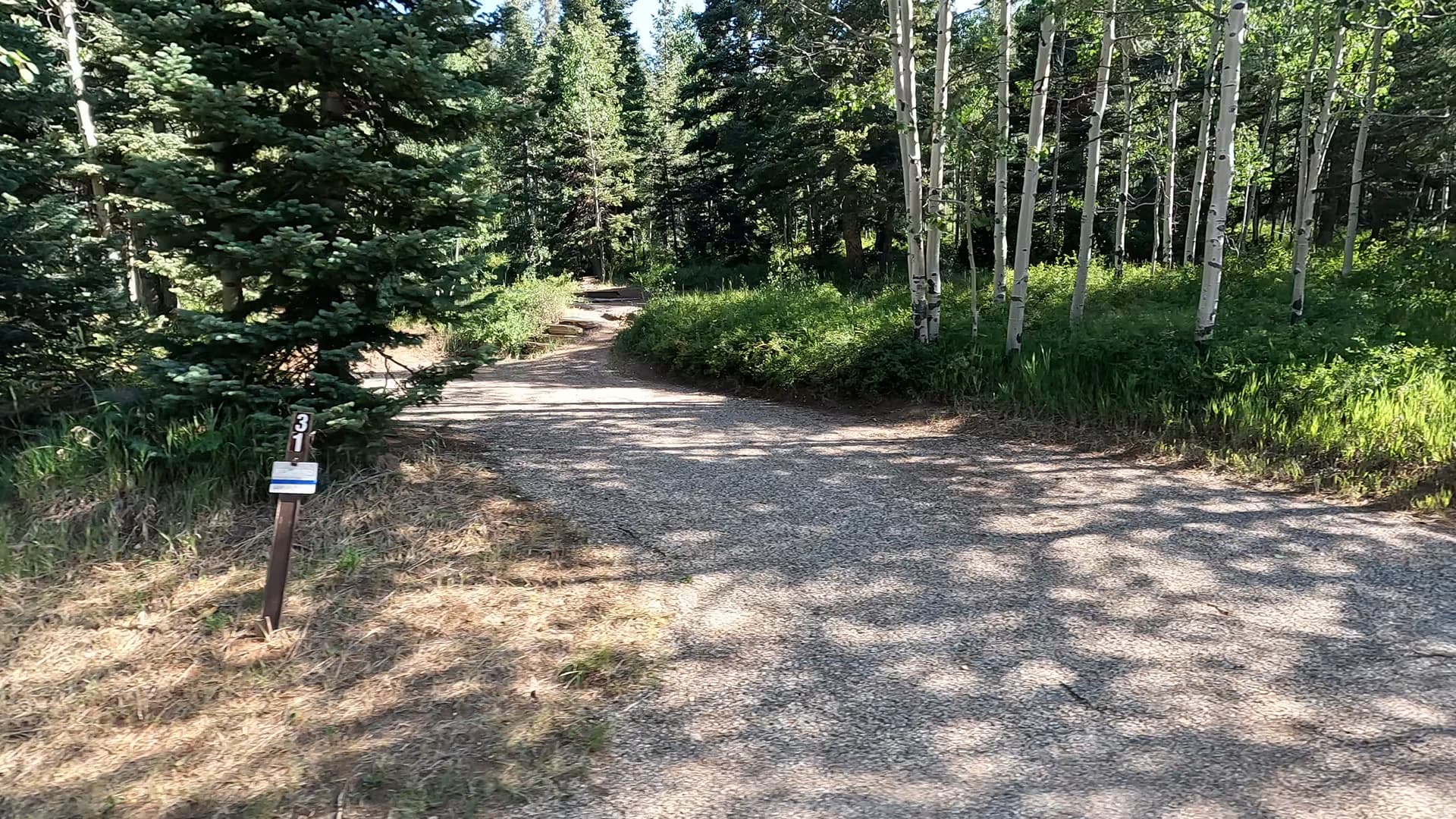
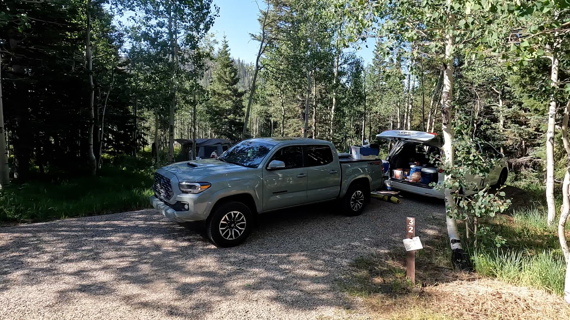
Featured: Cedar Canyon, Deer Haven, Duck Creek, Navajo Lake, Panguitch Lake North, Panguitch Lake South, Point Supreme, Spruces, Te-Ah, White Bridge

Cedar Breaks National Monument's vibrant cliffs and hoodoos, carved by erosion, form a breathtaking amphitheater. Overlooks like Point Supreme offer panoramic views of its colorful beauty, framed by subalpine forests and dramatic sunsets. Cedar Breaks National Monument is a stunning natural amphitheater located in southern Utah, perched at over 10,000 feet above sea level. Its vibrant, multicolored cliffs showcase layers of limestone, shale, and sandstone eroded by wind and water over millions of years, creating a breathtaking landscape of spires, fins, and hoodoos. The amphitheater, about three miles wide and over 2,000 feet deep, provides a visual spectacle reminiscent of Bryce Canyon, but with its own unique high-altitude charm. The area is known for its subalpine forest, offering a cool retreat in the summer and vibrant wildflower meadows, with delicate blooms that peak in mid-July. Several overlooks around Cedar Breaks offer spectacular views into the amphitheater and beyond. Point Supreme, the highest overlook at over 10,350 feet, provides a panoramic view of the colorful cliffs and valleys below. Sunset View Overlook is aptly named for its dazzling sunsets that illuminate the red and orange hues of the canyon walls. Chessman Ridge Overlook offers a striking view of Cedar Breaks' natural amphitheater, framed by dark green Engelmann spruce and subalpine firs. From any of these overlooks, visitors can appreciate the grandeur of the landscape, which shifts dramatically with changes in light and weather.

Checking out Spectra Point Overlook

A Hiking Adventure in Cedar Breaks

Featured: Cedar Canyon, Deer Haven, Duck Creek, Navajo Lake, Panguitch Lake North, Point Supreme, Spruces, Te-Ah, White Bridge

With meadows, bristlecone pine trees, and a half-mile-deep amphitheater of striped limestone, Cedar Breaks National Monument is a high-elevation Bryce Canyon look-alike. Comprised of the same geological layer but with a fraction of the crowds, this is a must-see park. Located northeast of Zion National Park and due east of Bryan Canyon National Park sits Cedar Breaks National Monument, a park with astonishing beauty of its own and a fraction of the crowds found at Utah’s larger and more well-known national parks. Taking in the views here couldn’t be easier. With plentiful parking and a short distance uphill, one can witness the splendor of the park. From here, the South Rim Trail is a 5-mile out and back trail with various stops along the way including Spectra Point Viewpoint and Ramparts Viewpoint. Spectra Point. These overlooks provide plenty of photographic opportunities down into the half-mile deep and three-mile wide amphitheater. Hiking to Spectra Point Viewpoint is a moderately rated 2-mile round trip hike whereas the hike to Ramparts Viewpoint and back is 4 miles. Also along the way is a historical stop not to be missed. This small unassuming wooden cabin once served as a generator room that supplied power to what was once the Cedar Breaks Lodge. The lodge was built in 1924 and served dinner for tourists making rounds via bus to many of the area parks such as Zion National Park, Bryce Canyon National Park, and the Grand Canyon National Park’s North Rim. The cabin is all that remains from the lodge today. In addition to hiking trails, the park is well known for a meadow filled with wildflowers in the spring, fall color in autumn, and snowmobiling and snowshoeing in the winter. While the park is opened year-round, some roads into the park and within around the rim are closed to visitors.

Take a scenic ride from Panguitch, Utah to Kodachrome Basin State Park, stopping at Red Canyon, showcasing vibrant red rock landscapes and Mossy Cave, with its Bryce Canyon-like formations and beautiful waterfall. Embark on a relaxed drive from Panguitch, Utah, to Kodachrome Basin State Park, a route filled with striking landscapes and fascinating stops. As you head out from the charming town of Panguitch, your first stop could be the Red Canyon Visitor Center. Nestled along Highway 12, this area offers vibrant red rock formations that preview the dramatic scenery of Southern Utah. Stroll through its easy trails or simply admire the towering hoodoos and cliffs that glow in the sunlight. Continuing your journey, stop by Mossy Cave, a hidden gem that feels like a piece of Bryce Canyon. Here, you’ll find a unique blend of towering red rock spires, a small cave, and a scenic waterfall. Though not lush like its name suggests, the area provides an opportunity for a short, rewarding hike with Bryce-like views and the refreshing sight and sound of flowing water in a desert landscape. The drive then winds through more of Utah's scenic beauty before you arrive at Kodachrome Basin State Park. Known for its colorful, layered rock formations, Kodachrome Basin feels like stepping into a natural painting. The park is perfect for hiking, photography, or simply soaking in the vibrant surroundings. Whether you're spending the day exploring or just passing through, this laid-back drive offers a taste of Southern Utah's natural wonders.

Not My Best Day Offroading

A Backroads Utah Adventure With Highs and Lows

Featured: Escalante Petrified Forest, Fruita, Kodachrome Basin, Panguitch Lake South, Te-Ah

Hole in the Rock Road winds through Utah’s remote desert, leading adventurers to stunning sites like the surreal Cosmic Ashtray, the unique rock formations of Devil's Garden, and the historic Batty Pass Caves. Hole in the Rock Road is an iconic, rugged backcountry route that takes explorers deep into Utah’s Escalante Desert. Originally blazed by Mormon pioneers in the late 1800s, this unpaved road now invites adventurers to discover some of the area’s most unique and remote attractions. Stretching over 60 miles, Hole in the Rock Road is surrounded by sweeping vistas, colorful desert formations, and landmarks that offer a fascinating look into both natural and human history. Along the journey, visitors can hike to incredible sites like the Cosmic Ashtray, a surreal, crater-like sandstone formation that appears almost alien in its design, carved by millennia of wind and water erosion. Further along, Devil’s Garden showcases a striking collection of sandstone hoodoos, arches, and towers that feel like stepping into a natural sculpture garden, offering plenty of opportunities for exploration and photography. The Batty Pass Caves add a touch of mystery; these man-made caves, carved into the cliffs, were used by the Batty family as a unique homestead in the early 20th century. Hole in the Rock Road is more than just a drive—it’s an adventure that promises solitude, spectacular scenery, and a glimpse into the past. Its many side trails lead to secluded wonders, perfect for those seeking to explore Utah’s lesser-known desert marvels.

Mysterious Utah

Seeking Strange and Lesser-Seen Secrets

Featured: Escalante Petrified Forest, Spruces, Te-Ah, Watchman

Join us on an unforgettable road trip from Kanab's charming Parry Lodge to Escalante Petrified Forest State Park, exploring the magical Sand Caves and the mysterious Belly of the Dragon, with a few surprises along the way! Our road trip between Kanab and Escalante Petrified Forest State Park began at the historic Parry Lodge, a charming and nostalgic hotel that has hosted numerous Hollywood stars. Setting out from this iconic location, we drove northeast along US-89, eager to explore the natural wonders of southern Utah. Our first stop was the Sand Caves, a series of striking man-made caves carved into the soft, orange sandstone. The short hike to the caves was well worth it, as we were rewarded with stunning, wave-like formations and sweeping views of the surrounding landscape. Continuing our journey, we soon arrived at the Belly of the Dragon, an intriguing man-made drainage tunnel further formed by water erosion. The cool, narrow passage offered a unique and somewhat eerie experience, contrasting sharply with the sun-drenched desert above. As we made our way further, we planned a visit to Mossy Cave near Tropic. Unfortunately, upon arrival, we found the area crowded with visitors, leading us to skip this stop. While it was a bit disappointing, it didn't dampen our spirits for the rest of the trip. We continued on Scenic Byway 12, soaking in the breathtaking scenery, until we reached Escalante Petrified Forest State Park. Here, we marveled set up camp right next to the water and immersed ourselves in the afternoon light. This road trip, filled with diverse landscapes and fascinating stops, was a memorable adventure through one of Utah's most beautiful regions.

Sunset Campground In Bryce Canyon

An On Foot Tour and Review

Featured: North, Panguitch Lake North, Sunset, Te-Ah

Sunset Campground at Bryce Canyon National Park offers a serene setting with easy access to breathtaking views of the canyon's unique rock formations. Enjoy stunning sunsets, starry nights, and nearby hiking trails for unforgettable adventures. Sunset Campground at Bryce Canyon National Park is an ideal spot for campers looking to immerse themselves in nature while enjoying modern conveniences. Located near the park's famous amphitheater, the campground provides easy access to stunning viewpoints and hiking trails. Amenities include restrooms with flush toilets, showers, potable water, and a dump station for RVs. Each campsite is equipped with a picnic table and a fire ring, making it easy to enjoy meals and campfires under the stars. The campground is divided into three loops, with a mix of tent and RV sites, though it does not offer hookups. Reservations are recommended during peak season, as the campground is popular with visitors. Sunset Campground's location allows for quick access to some of Bryce Canyon's most iconic sights, such as Sunrise Point and Sunset Point. The nearby General Store offers supplies, groceries, and souvenirs, ensuring campers have everything they need for a comfortable stay.

Campground Overview

Te-Ah Campground – Dixie National Forest, Utah

Te-Ah Campground is a quiet, forested campground located along Scenic Byway 14 on the Markagunt Plateau in the Dixie National Forest. Set among tall spruce, fir, and aspen trees, this campground offers a cool, shaded mountain environment that feels removed from the crowds found at larger nearby campgrounds. Its simple layout and peaceful setting make it well suited for campers seeking a low-key, high-elevation camping experience.

Location & Setting

The campground sits at high elevation along Utah State Route 14, east of Cedar Breaks National Monument and west of Duck Creek Village. The surrounding landscape features dense forest, volcanic rock, and rolling terrain typical of the Markagunt Plateau. Summer temperatures here are significantly cooler than in lower elevations, and evenings often bring crisp mountain air and dark skies ideal for stargazing.

Campground Overview

Te-Ah Campground is relatively small and lightly developed, with campsites spaced among trees that provide privacy and shade. Sites generally accommodate tents, vans, and small to mid-sized trailers, though access and turning space may be limited for larger RVs. The campground’s quieter atmosphere and smaller footprint make it a good alternative to more heavily used campgrounds along Scenic Byway 14.

Amenities

Amenities are modest and typically include picnic tables, fire rings, and vault toilets. Potable drinking water may be available seasonally, but campers should be prepared to bring their own water. There are no electrical hookups, or showers at the campground. Fire restrictions may be in effect during dry periods, and visitors should always follow current Dixie National Forest regulations.

Activities & Nearby Recreation

Te-Ah Campground provides convenient access to hiking, scenic drives, and wildlife viewing across the Markagunt Plateau. Nearby destinations include Cedar Breaks National Monument, Navajo Lake, Duck Creek Village, and numerous forest roads leading to alpine meadows and lava fields. The area is also popular for fall color viewing when aspens turn gold in late summer and early autumn.

Summary

Te-Ah Campground offers a calm, shaded camping experience in the high country of the Dixie National Forest. With its cool temperatures, forested setting, and proximity to scenic attractions along Scenic Byway 14, it’s a solid choice for campers who value simplicity, quiet nights, and easy access to southern Utah’s mountain landscapes.

Nearby Campgrounds