Navajo Lake
Dixie
Utah
Date filmed:2024-07-27
Number of sites:27
GPS:37.5832138, -112.758081
Max vehicle length:40 Feet
Check in:2:00 pm
Check out:11:00 am
Quiet hours:10:00 pm - 6:00 am

Amenities and Activities

Amenities
Fire Ring
Picnic Table
RVs
Tents
Flushing Toilets
Vault Toilets
Tent Pads
Lake Access
Dump Station
Water Spigot
Activities
Fishing
Biking
Boating
Swimming
Wildlife Viewing
Photography

Things to Do

Checking out Spectra Point Overlook

A Hiking Adventure in Cedar Breaks

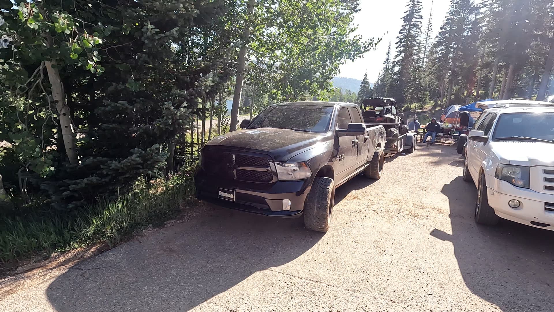
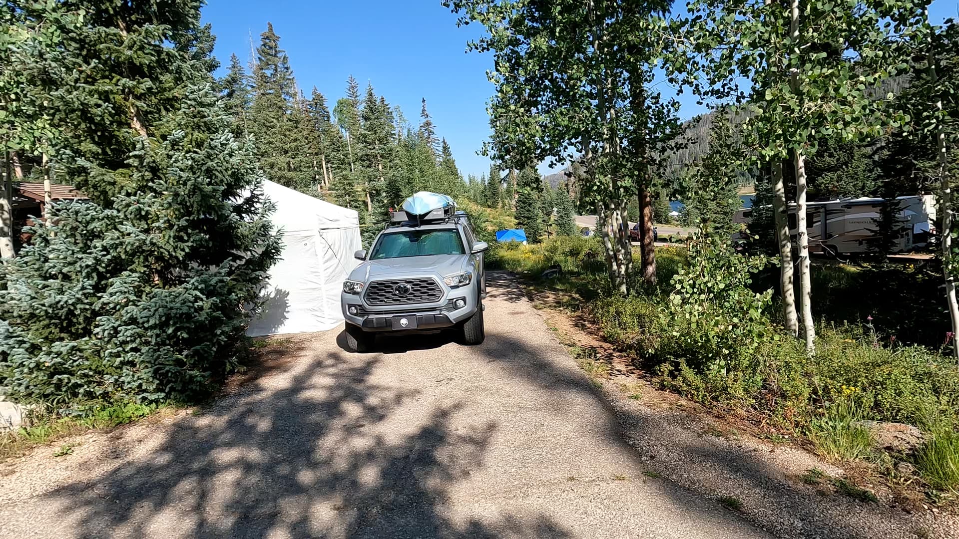
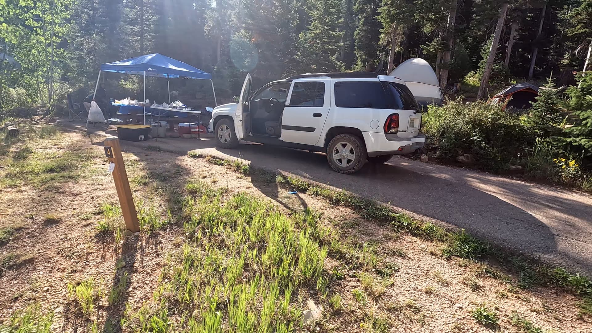
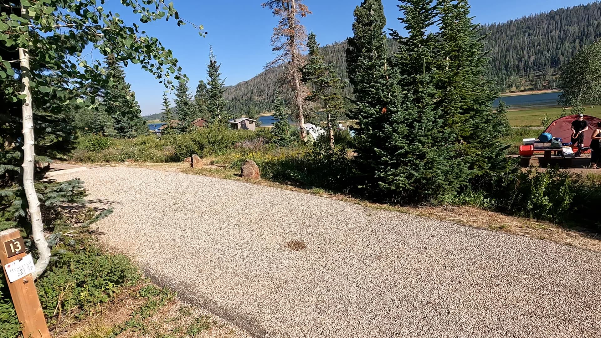
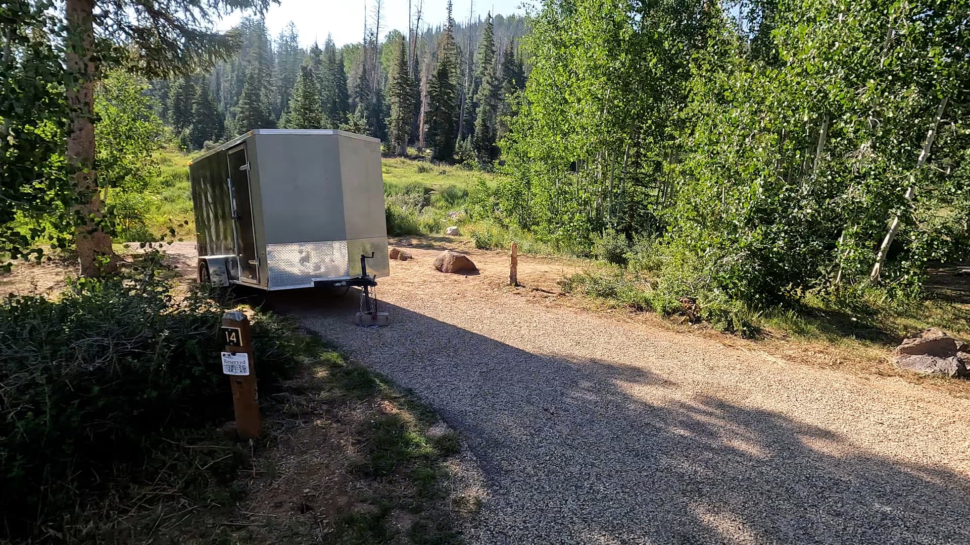
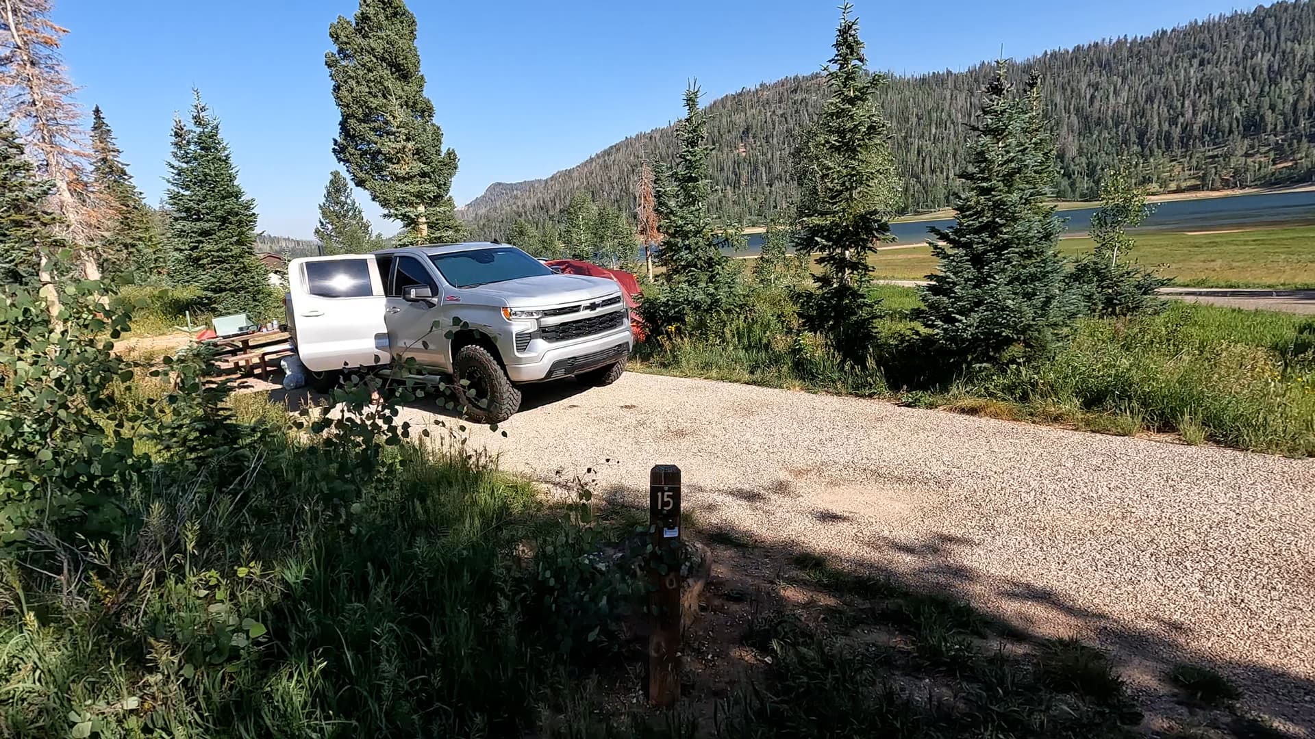
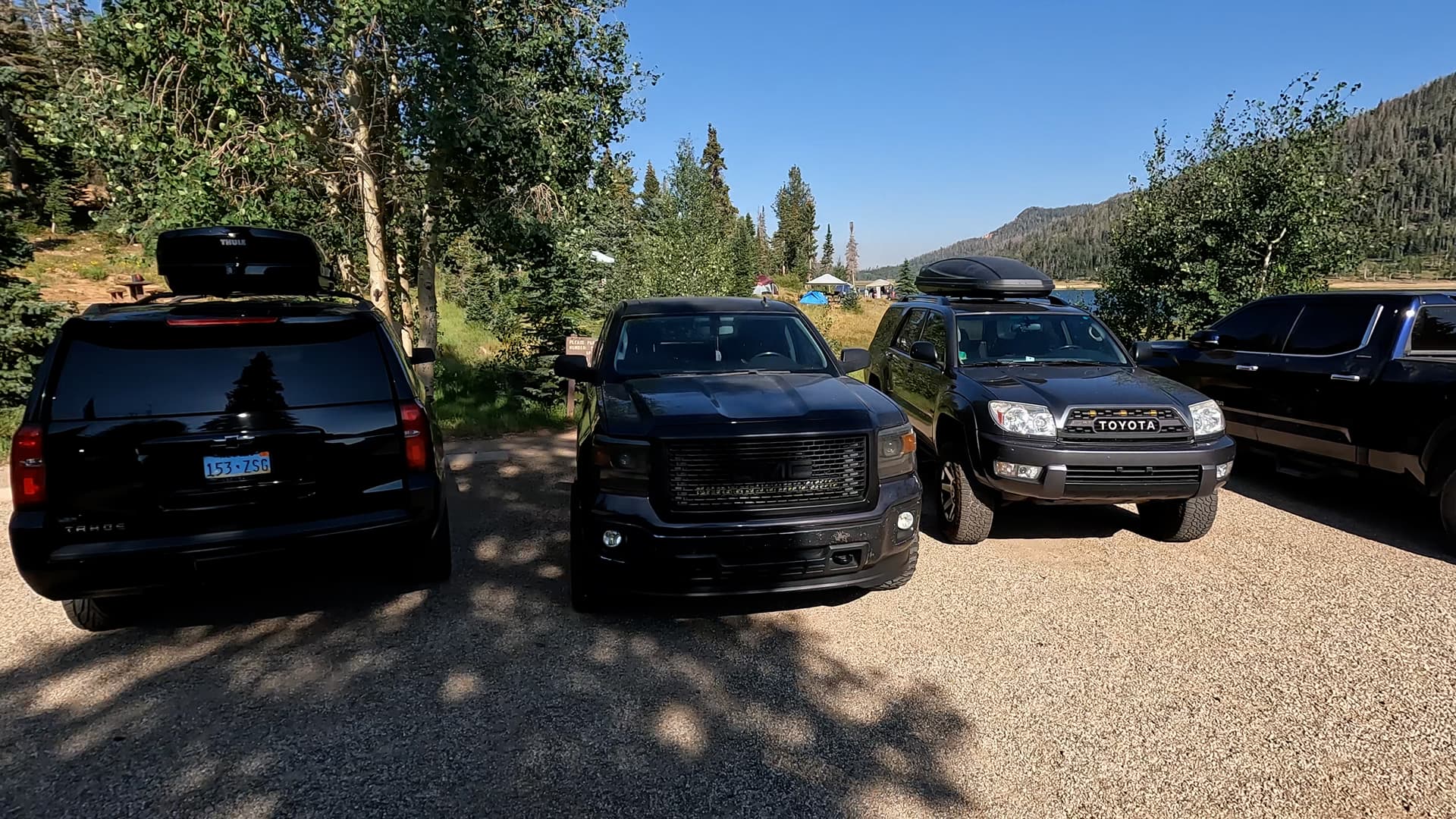
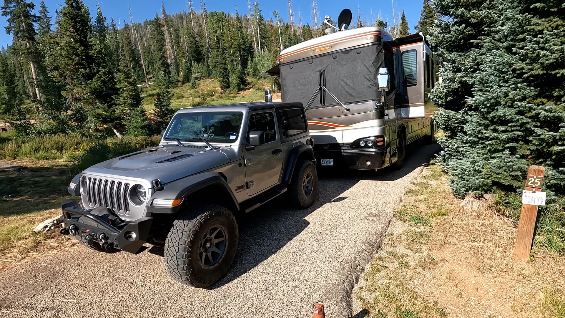
Featured: Cedar Canyon, Deer Haven, Duck Creek, Navajo Lake, Panguitch Lake North, Point Supreme, Spruces, Te-Ah, White Bridge

With meadows, bristlecone pine trees, and a half-mile-deep amphitheater of striped limestone, Cedar Breaks National Monument is a high-elevation Bryce Canyon look-alike. Comprised of the same geological layer but with a fraction of the crowds, this is a must-see park. Located northeast of Zion National Park and due east of Bryan Canyon National Park sits Cedar Breaks National Monument, a park with astonishing beauty of its own and a fraction of the crowds found at Utah’s larger and more well-known national parks. Taking in the views here couldn’t be easier. With plentiful parking and a short distance uphill, one can witness the splendor of the park. From here, the South Rim Trail is a 5-mile out and back trail with various stops along the way including Spectra Point Viewpoint and Ramparts Viewpoint. Spectra Point. These overlooks provide plenty of photographic opportunities down into the half-mile deep and three-mile wide amphitheater. Hiking to Spectra Point Viewpoint is a moderately rated 2-mile round trip hike whereas the hike to Ramparts Viewpoint and back is 4 miles. Also along the way is a historical stop not to be missed. This small unassuming wooden cabin once served as a generator room that supplied power to what was once the Cedar Breaks Lodge. The lodge was built in 1924 and served dinner for tourists making rounds via bus to many of the area parks such as Zion National Park, Bryce Canyon National Park, and the Grand Canyon National Park’s North Rim. The cabin is all that remains from the lodge today. In addition to hiking trails, the park is well known for a meadow filled with wildflowers in the spring, fall color in autumn, and snowmobiling and snowshoeing in the winter. While the park is opened year-round, some roads into the park and within around the rim are closed to visitors.

Take a scenic ride from Panguitch, Utah to Kodachrome Basin State Park, stopping at Red Canyon, showcasing vibrant red rock landscapes and Mossy Cave, with its Bryce Canyon-like formations and beautiful waterfall. Embark on a relaxed drive from Panguitch, Utah, to Kodachrome Basin State Park, a route filled with striking landscapes and fascinating stops. As you head out from the charming town of Panguitch, your first stop could be the Red Canyon Visitor Center. Nestled along Highway 12, this area offers vibrant red rock formations that preview the dramatic scenery of Southern Utah. Stroll through its easy trails or simply admire the towering hoodoos and cliffs that glow in the sunlight. Continuing your journey, stop by Mossy Cave, a hidden gem that feels like a piece of Bryce Canyon. Here, you’ll find a unique blend of towering red rock spires, a small cave, and a scenic waterfall. Though not lush like its name suggests, the area provides an opportunity for a short, rewarding hike with Bryce-like views and the refreshing sight and sound of flowing water in a desert landscape. The drive then winds through more of Utah's scenic beauty before you arrive at Kodachrome Basin State Park. Known for its colorful, layered rock formations, Kodachrome Basin feels like stepping into a natural painting. The park is perfect for hiking, photography, or simply soaking in the vibrant surroundings. Whether you're spending the day exploring or just passing through, this laid-back drive offers a taste of Southern Utah's natural wonders.

Epic Views from 10,000 Feet

Exploring Cedar Breaks National Monument

Featured: Cedar Canyon, Deer Haven, Duck Creek, Navajo Lake, Panguitch Lake North, Panguitch Lake South, Point Supreme, Spruces, Te-Ah, White Bridge

Cedar Breaks National Monument's vibrant cliffs and hoodoos, carved by erosion, form a breathtaking amphitheater. Overlooks like Point Supreme offer panoramic views of its colorful beauty, framed by subalpine forests and dramatic sunsets. Cedar Breaks National Monument is a stunning natural amphitheater located in southern Utah, perched at over 10,000 feet above sea level. Its vibrant, multicolored cliffs showcase layers of limestone, shale, and sandstone eroded by wind and water over millions of years, creating a breathtaking landscape of spires, fins, and hoodoos. The amphitheater, about three miles wide and over 2,000 feet deep, provides a visual spectacle reminiscent of Bryce Canyon, but with its own unique high-altitude charm. The area is known for its subalpine forest, offering a cool retreat in the summer and vibrant wildflower meadows, with delicate blooms that peak in mid-July. Several overlooks around Cedar Breaks offer spectacular views into the amphitheater and beyond. Point Supreme, the highest overlook at over 10,350 feet, provides a panoramic view of the colorful cliffs and valleys below. Sunset View Overlook is aptly named for its dazzling sunsets that illuminate the red and orange hues of the canyon walls. Chessman Ridge Overlook offers a striking view of Cedar Breaks' natural amphitheater, framed by dark green Engelmann spruce and subalpine firs. From any of these overlooks, visitors can appreciate the grandeur of the landscape, which shifts dramatically with changes in light and weather.

Hell's Backbone is a scenic route in Utah that winds through dramatic canyons and rugged landscapes. The road, known for its breathtaking views and challenging terrain, offers an unforgettable adventure for intrepid travelers. Hell's Backbone is a scenic byway in southern Utah that offers a thrilling journey through some of the state's most rugged and remote landscapes. Stretching between the towns of Boulder and Escalante, this 38-mile route navigates the spine of a high plateau, providing breathtaking views of deep canyons, sheer cliffs, and dense forests. The road, originally constructed by the Civilian Conservation Corps in the 1930s, includes the famous Hell's Backbone Bridge, a narrow span that arches 1,500 feet above the canyon floor, offering panoramic vistas of the surrounding wilderness. Travelers on Hell's Backbone can expect a mix of gravel and dirt roads, often narrow and winding, making it a challenging drive best suited for high-clearance or four-wheel-drive vehicles. Along the way, several pullouts and viewpoints invite visitors to stop and take in the dramatic scenery, while numerous hiking trails beckon those looking to explore the backcountry. This remote and less-traveled route provides a sense of solitude and adventure, capturing the wild beauty and rugged spirit of Utah's backcountry.

Roadtrippin' The Swell

Going Deep into the San Rafael Swell

Featured: Navajo Lake, Goblin Valley

With Colorado wrapped up, we head back to Utah to set up for adventure in the Goblin Valley area. But as plans like to change, they do just that. What turns out to be a failed morning, turns into a surprise discovery and exploration. Oh, Colorado National Monument... we miss you already! But we've got places to be and adventures to have. Like Rattlesnake Arches! Maybe... Possibly. Or not as some mapping led us astray. Heartbroken but determined we quickly figure out a substitute adventure for later on and make the drive back to Utah to set up camp at Goblin Valley Campground - our home base for the next couple days. And wouldn't you know it... Our ability to change plans on the fly gets tested again. Armed with the advice of a park employee, we get in the truck and take an offroad adventure down Behind the Reef Road to something called the Chute Canyon Trail once hearing the words "slot canyon". Will it live up? See for yourself! The next day we take care of some business in Hanksville, Utah, film a few other videos you will see in the next couple of weeks, and find some surprises behind our campground yurt.

Campground Overview

Navajo Lake Campground – Dixie National Forest, Utah

Navajo Lake Campground is a scenic, high-elevation campground located along the shores of Navajo Lake on the Markagunt Plateau in the Dixie National Forest. Known for its cool summer temperatures, expansive meadows, and reflective lake views, this campground offers a peaceful mountain setting that feels worlds away from southern Utah’s desert landscapes. Its combination of open space, water access, and surrounding forest makes it a favorite for families, anglers, and campers seeking a relaxed high-country experience.

Location & Setting

The campground sits at roughly 9,000 feet in elevation along Scenic Byway 14, east of Duck Creek Village. Navajo Lake itself is a natural sinkhole lake surrounded by open meadows, spruce and fir forest, and volcanic terrain. The high elevation brings crisp air, cool nights, and dark skies ideal for stargazing, while the broad landscape gives the area a more open, alpine feel than many forested campgrounds.

Campground Overview

Navajo Lake Campground is moderately sized, with campsites spread across gently sloping terrain near the lake and surrounding meadows. Sites accommodate tents, vans, trailers, and some RVs, though larger rigs may need to be selective due to site layout and access. The campground’s open spacing and meadow setting provide a sense of roominess, with many sites offering partial lake views or easy access to the shoreline.

Amenities

Amenities include picnic tables, fire rings, and vault toilets. Potable water is typically available during the main camping season. There are no electrical hookups, showers, or dump stations within the campground, so campers should plan to be self-sufficient. Fire restrictions may be in effect during dry periods, and visitors should always follow current Dixie National Forest regulations regarding campfires and food storage.

Activities & Nearby Recreation

Navajo Lake is popular for fishing, kayaking, canoeing, and paddleboarding, with rainbow trout being a common catch. The surrounding meadows and forest roads are ideal for walking, biking, and wildlife viewing, while nearby trails provide access to lava fields, alpine terrain, and scenic overlooks across the Markagunt Plateau. In late summer and early fall, the area is especially popular for wildflowers, fall colors, and photography.

Summary

Navajo Lake Campground offers a spacious, high-elevation camping experience in the heart of the Dixie National Forest. With its open meadows, scenic lake setting, and cool mountain climate, it’s an excellent choice for campers seeking quiet nights, expansive views, and easy access to outdoor recreation. For visitors exploring southern Utah’s high country, Navajo Lake Campground provides a refreshing and memorable mountain retreat.

Nearby Campgrounds