Fruita
Date filmed:2024-07-30
Number of sites:71
GPS:38.282227, -111.248786
Max vehicle length:60 Feet
Check in:3:00 PM
Check out:11:00 am
Quiet hours:10:00 pm - 6:00 am

Amenities and Activities

Amenities
Drinking Water
Fire Ring
Picnic Table
RVs
Tents
Accessible Sites
Flushing Toilets
Trash Collection
Dump Station
Activities
Hiking
Scenic Driving
Star Gazing
Scenic Overlooks
Amphitheater
Historical Site
Off-Roading
Photography

Things to Do

A Fruita Campground Guide

A Tour and Review of this Capitol Reef Campground

Featured: Fruita

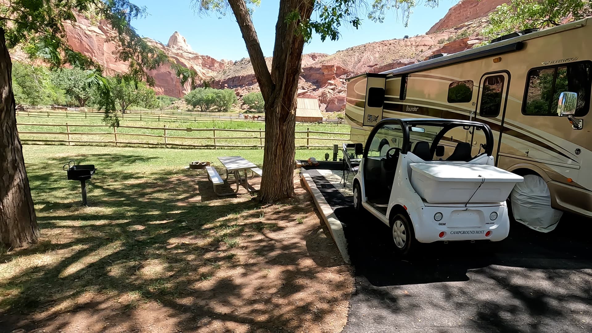
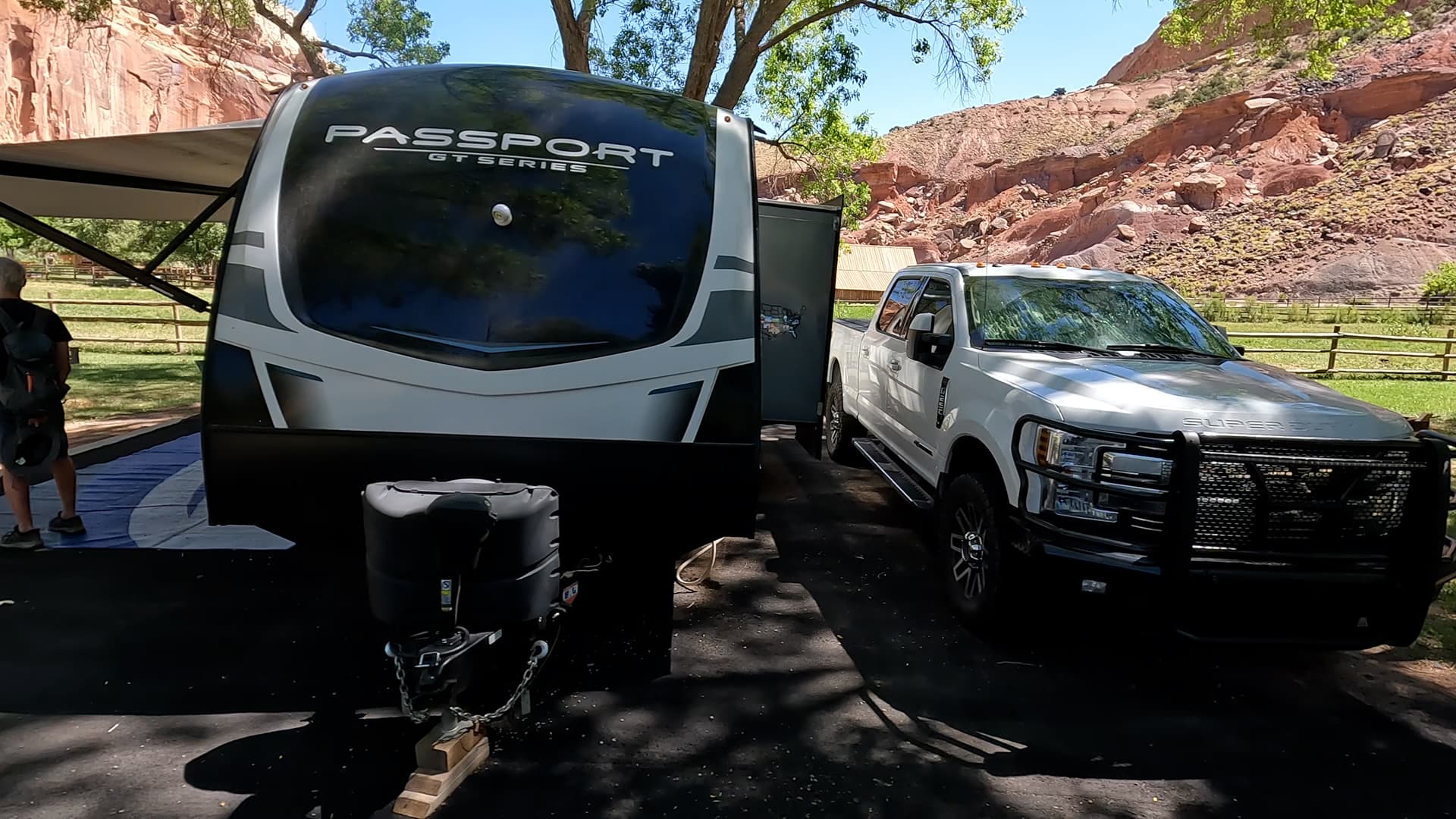
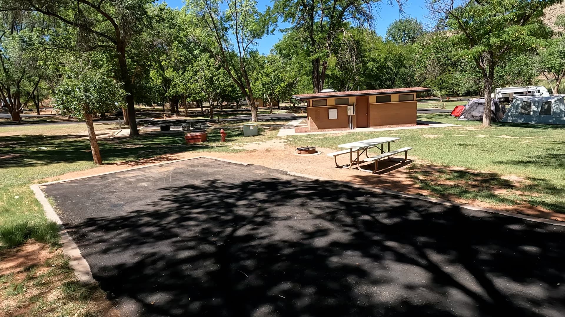
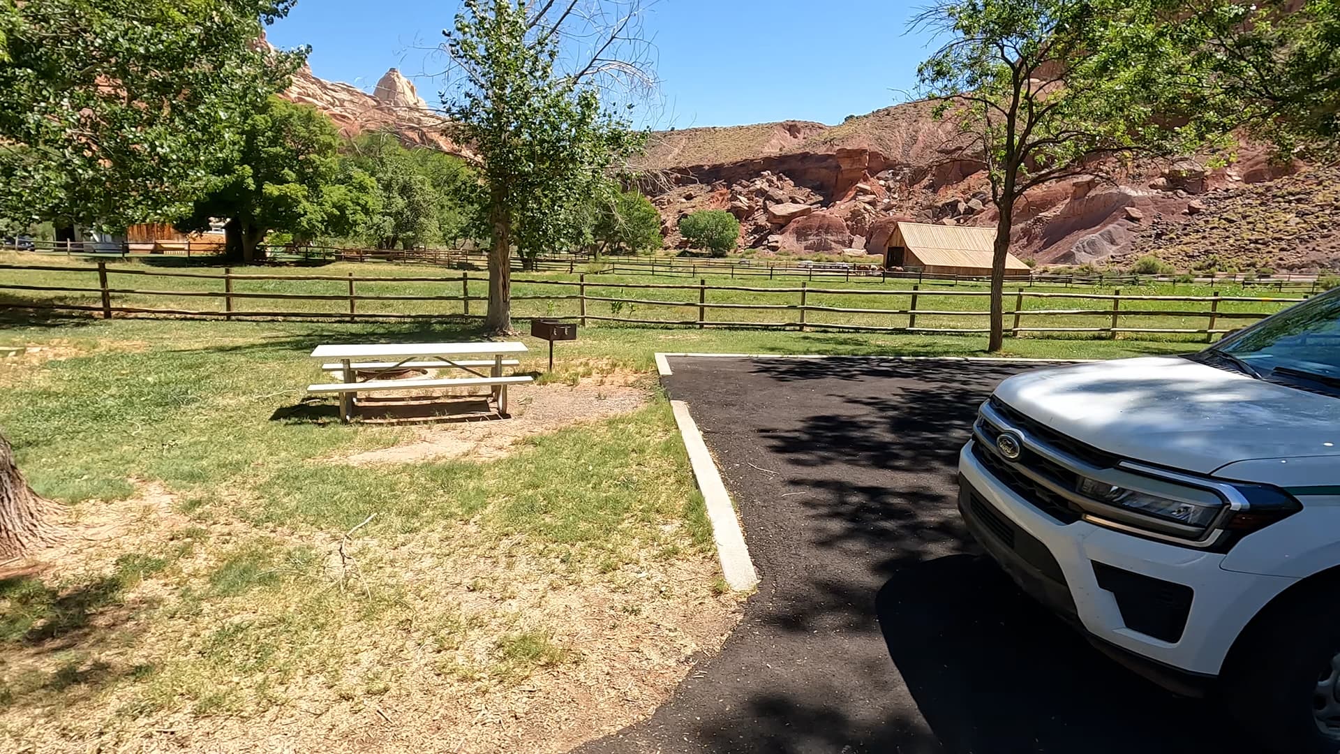
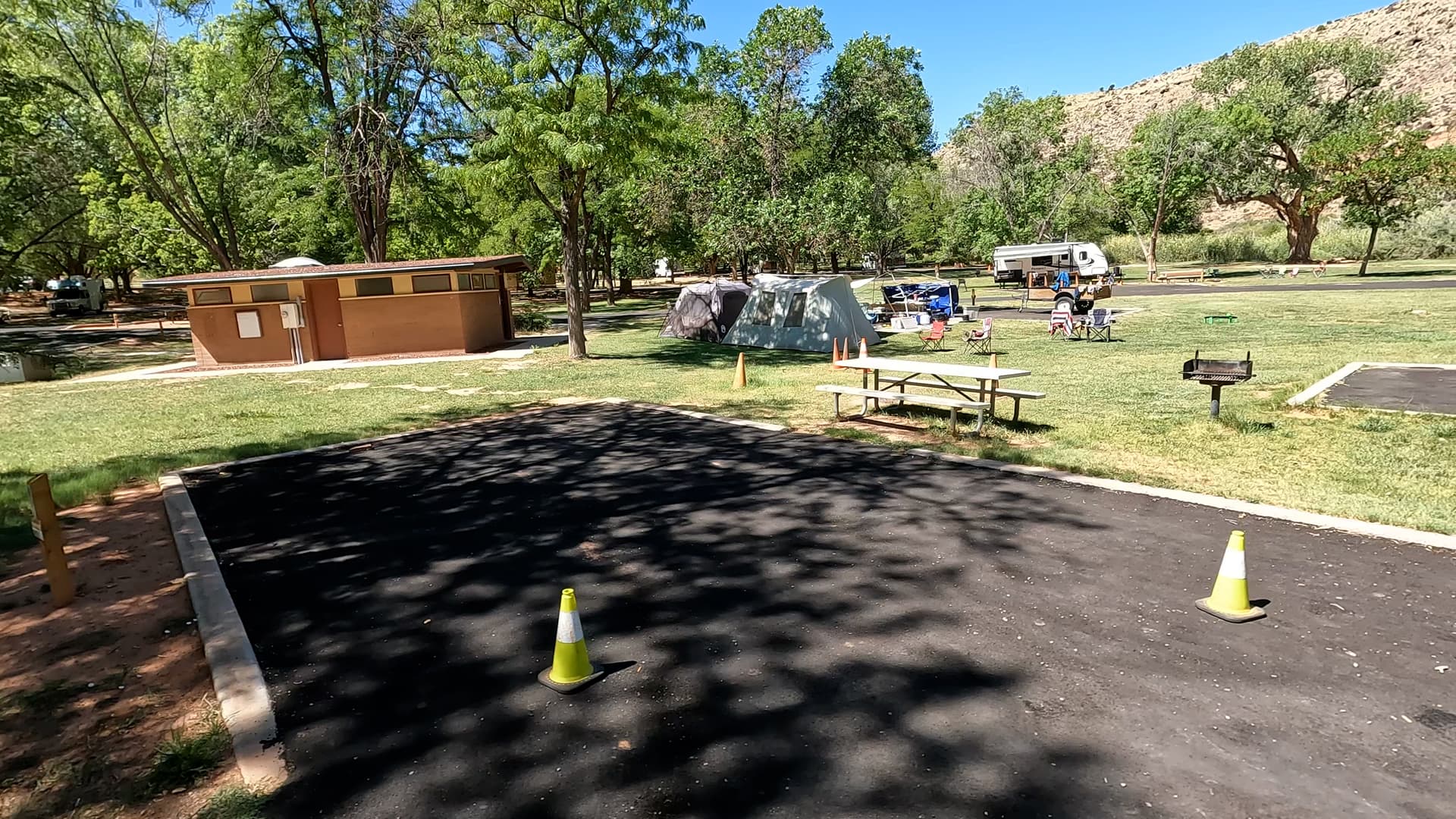
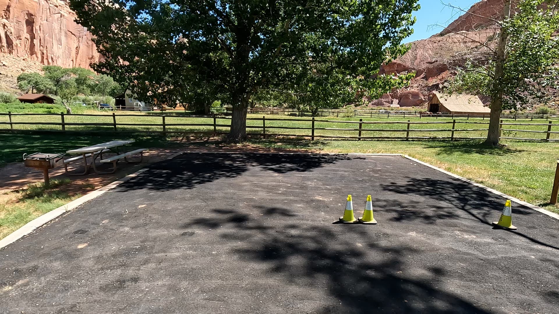
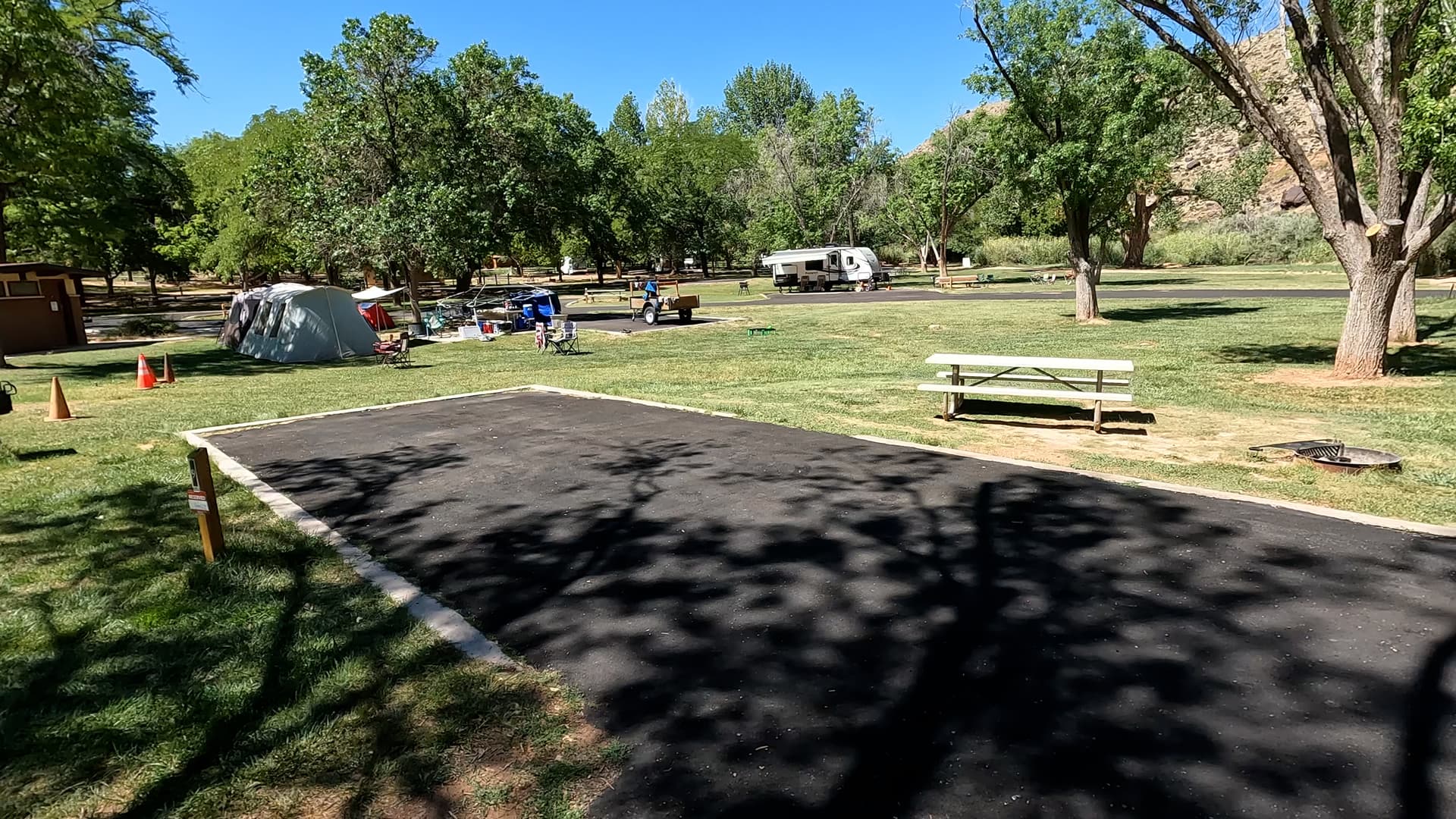
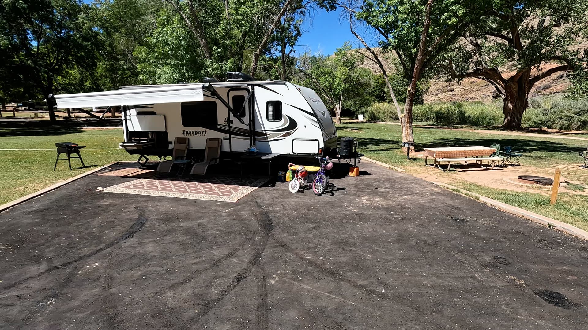
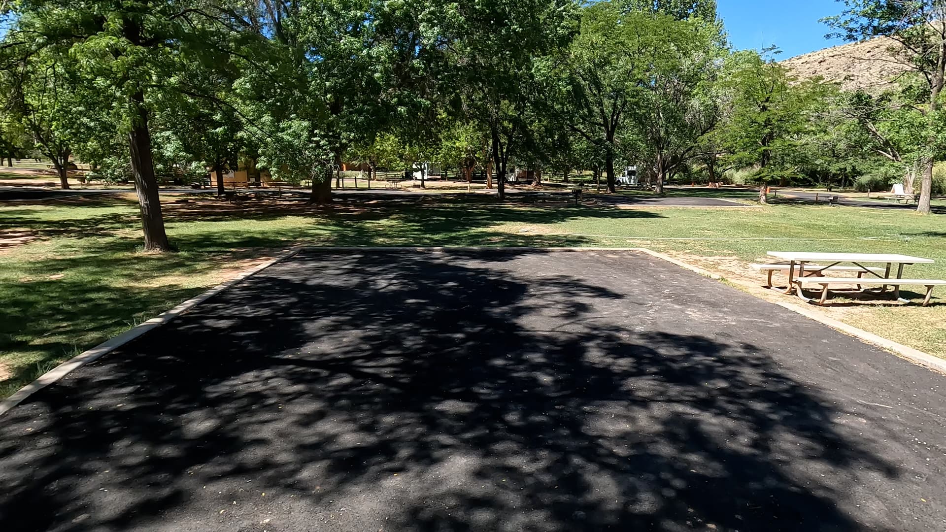
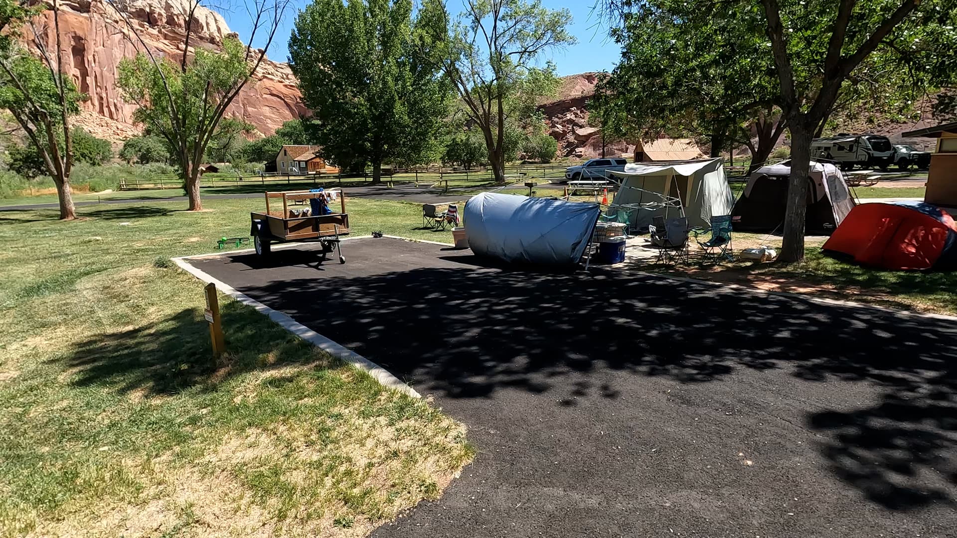
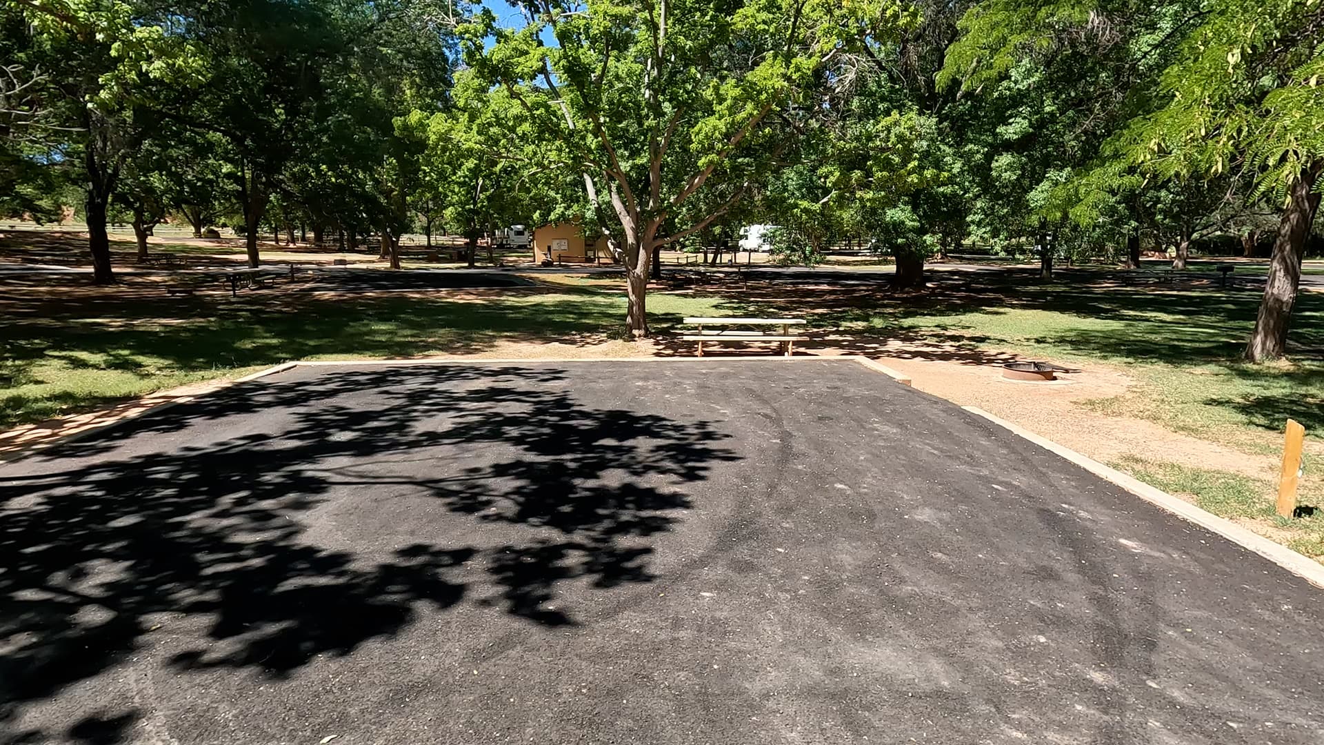
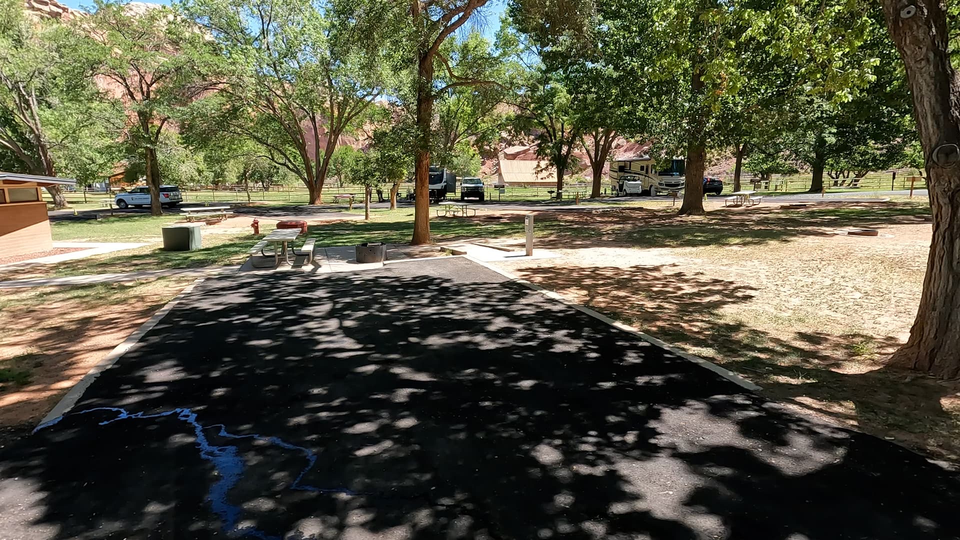
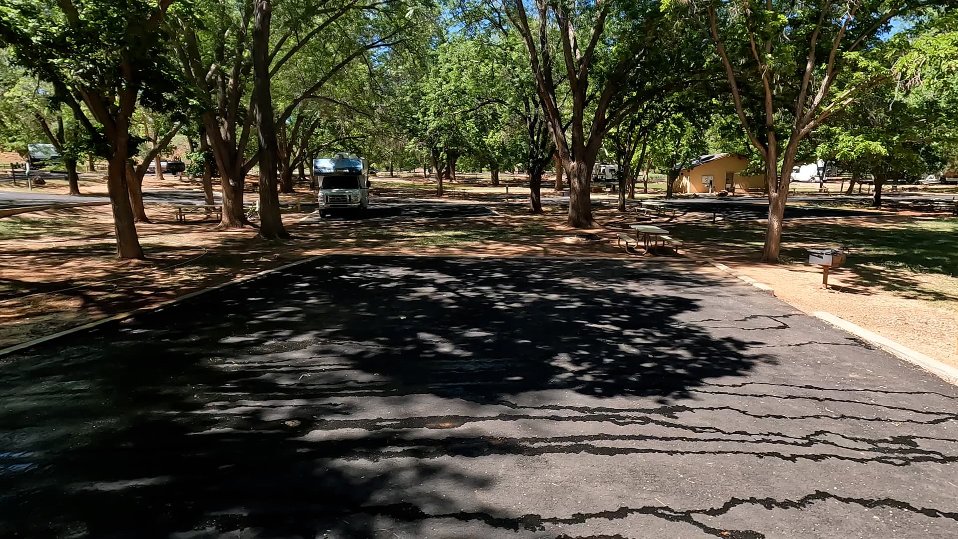
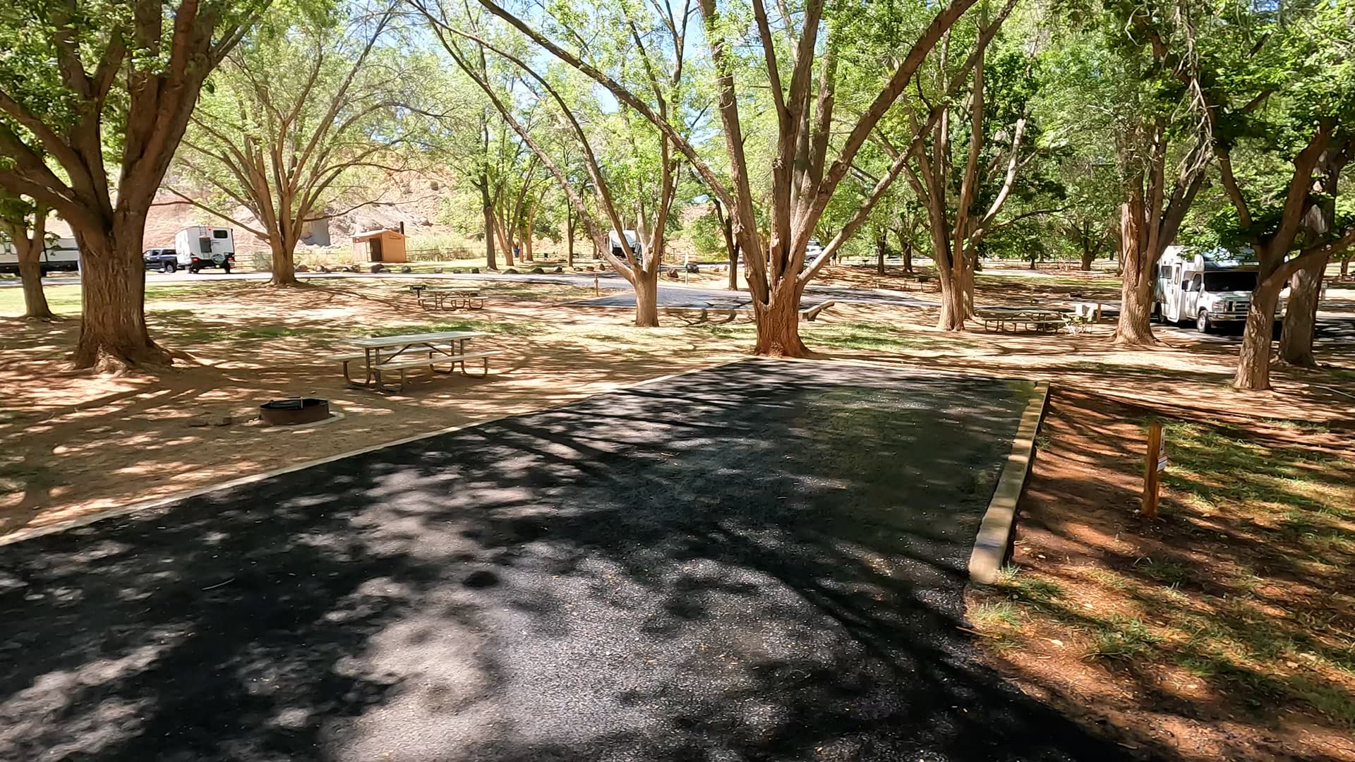
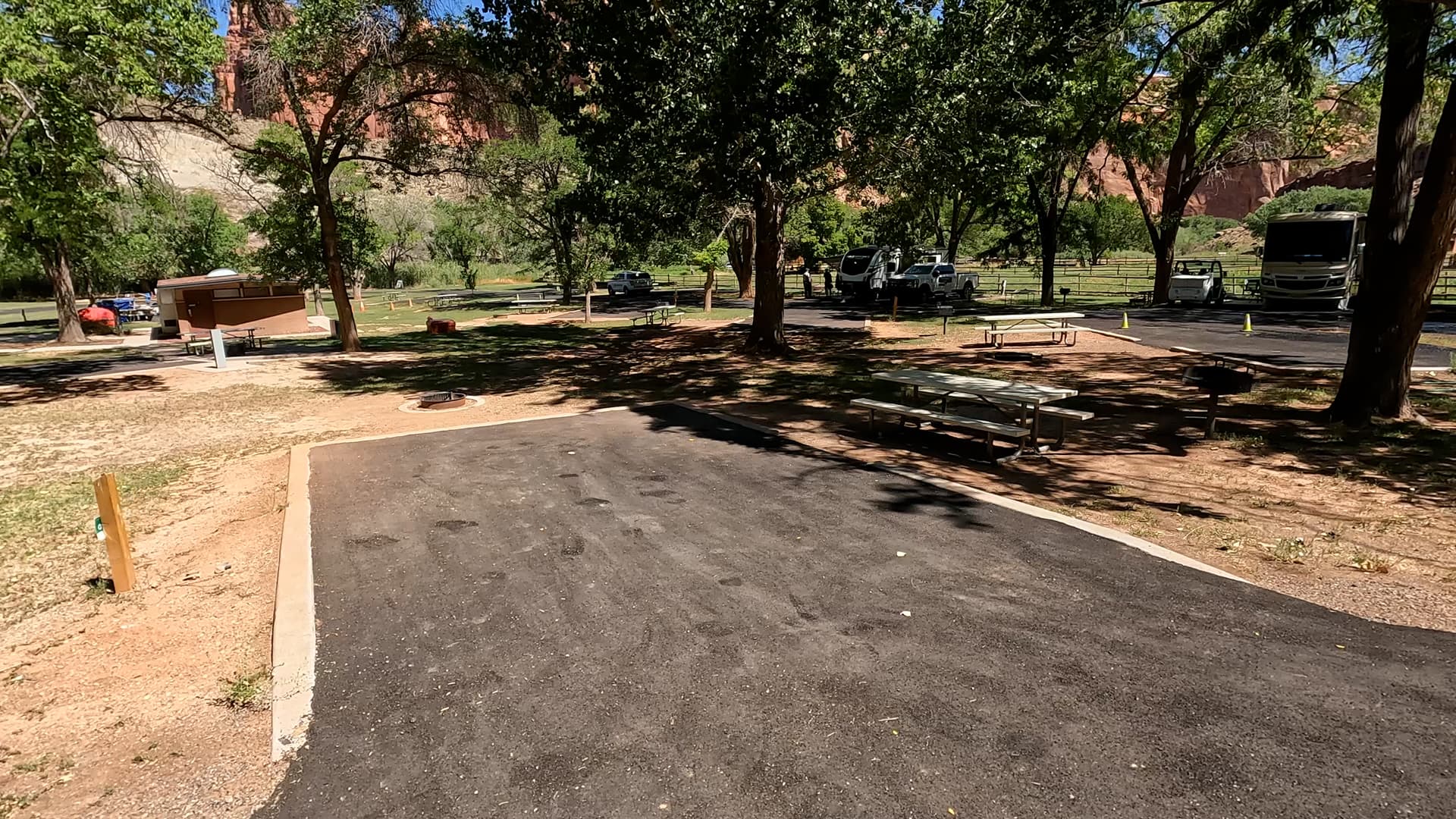
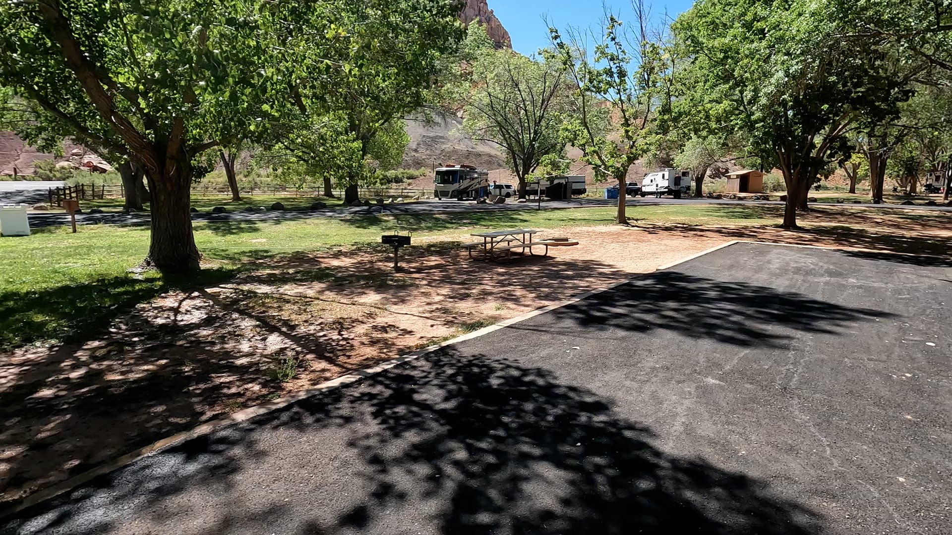
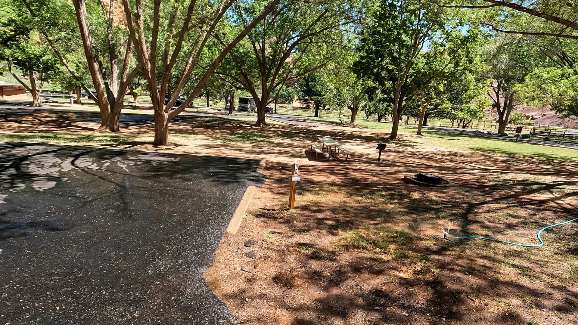
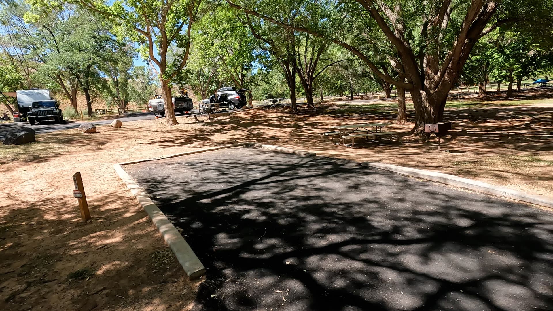
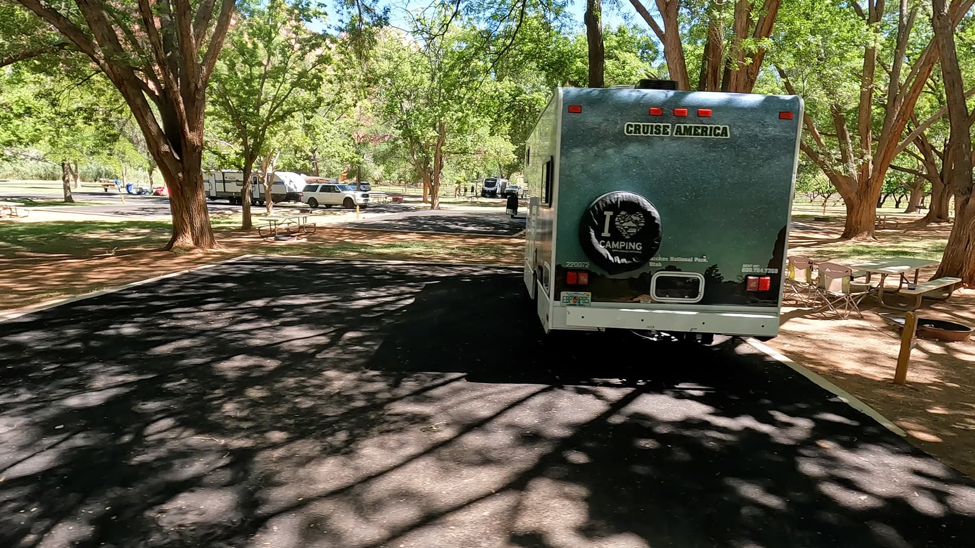
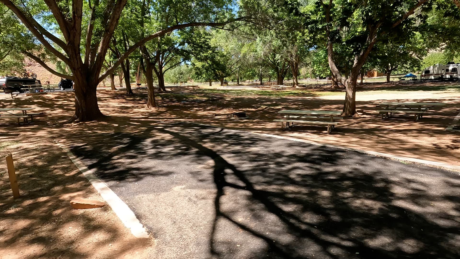
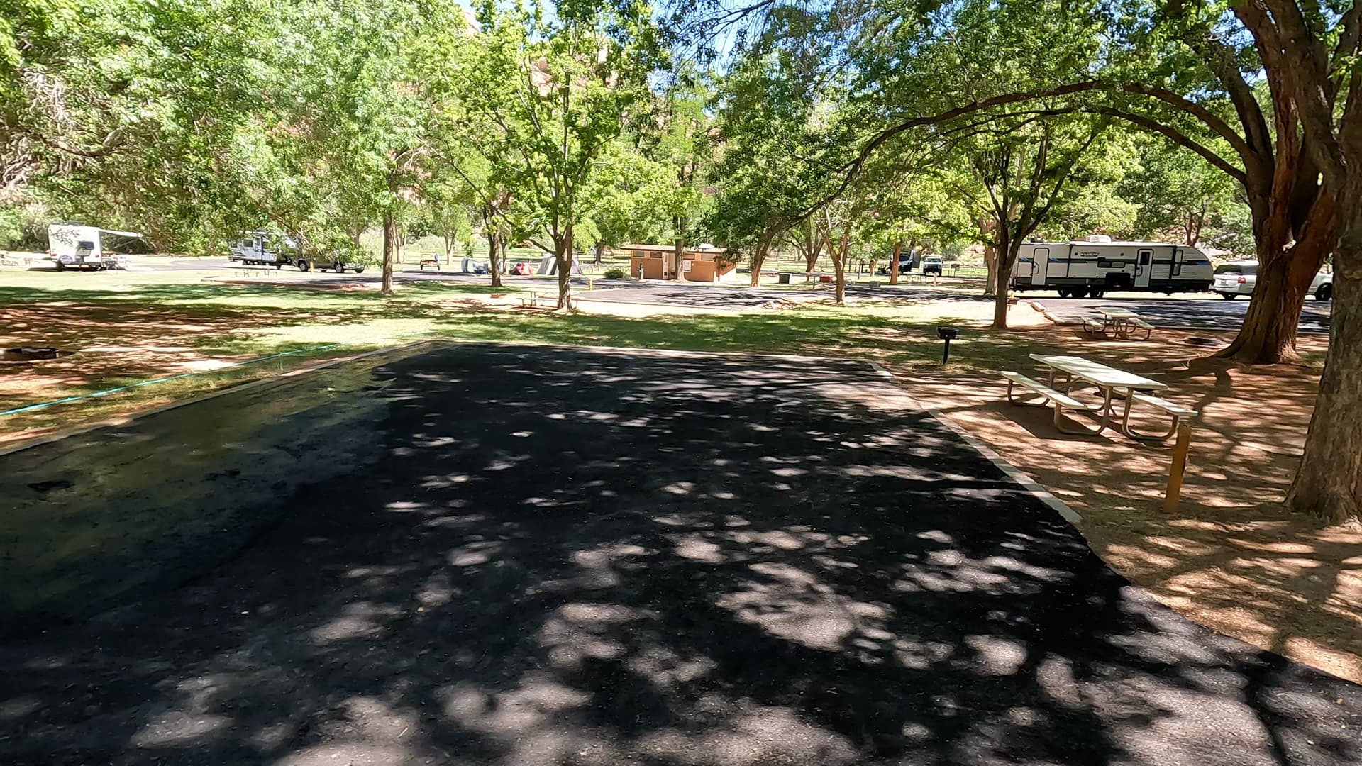
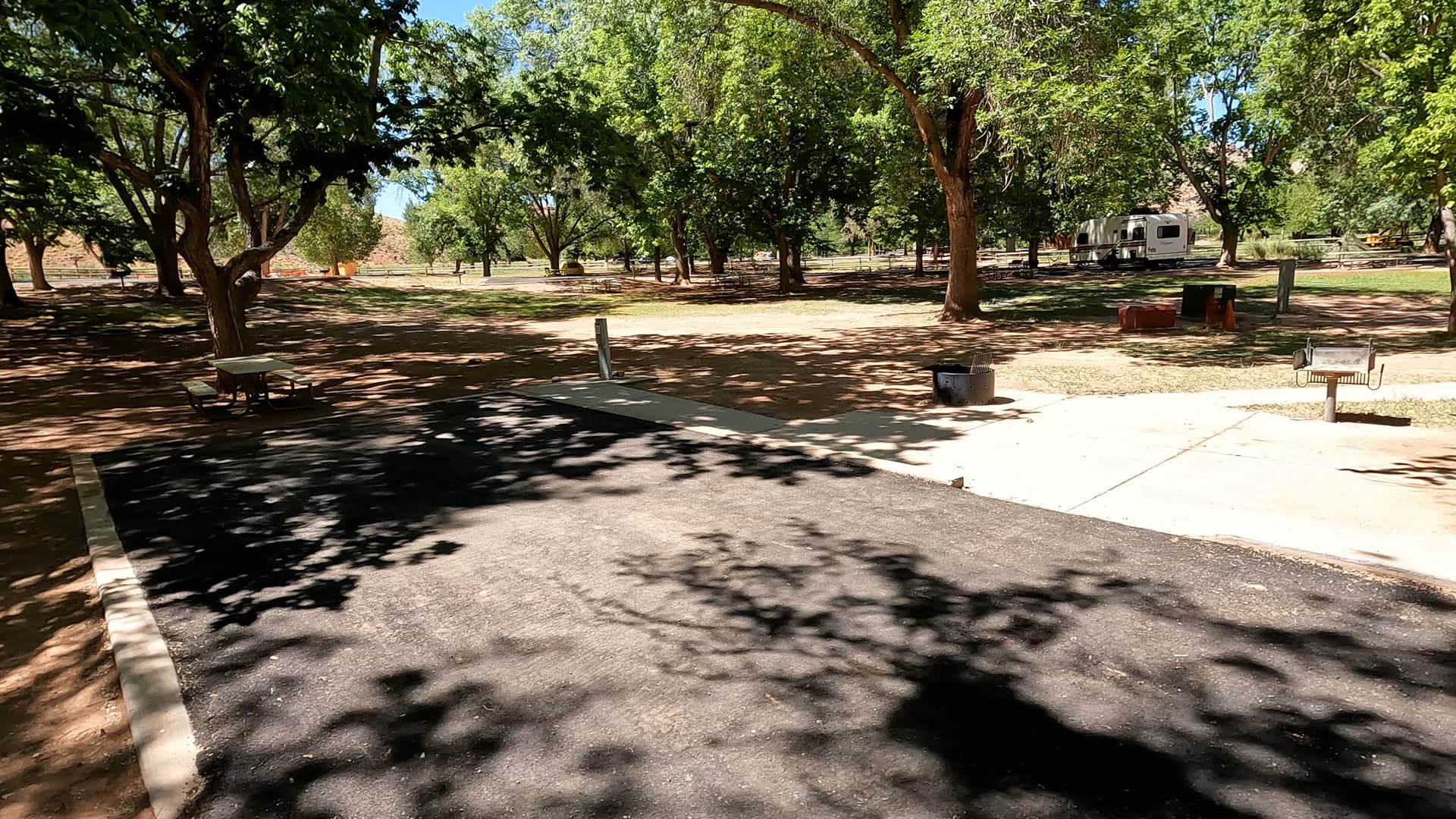
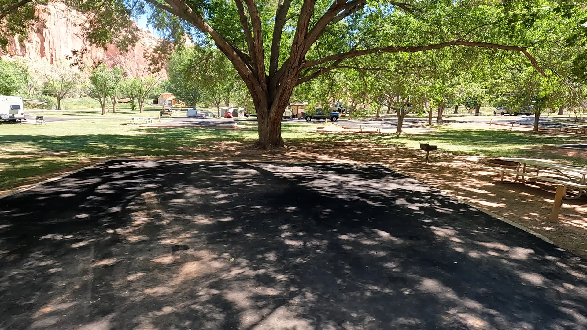
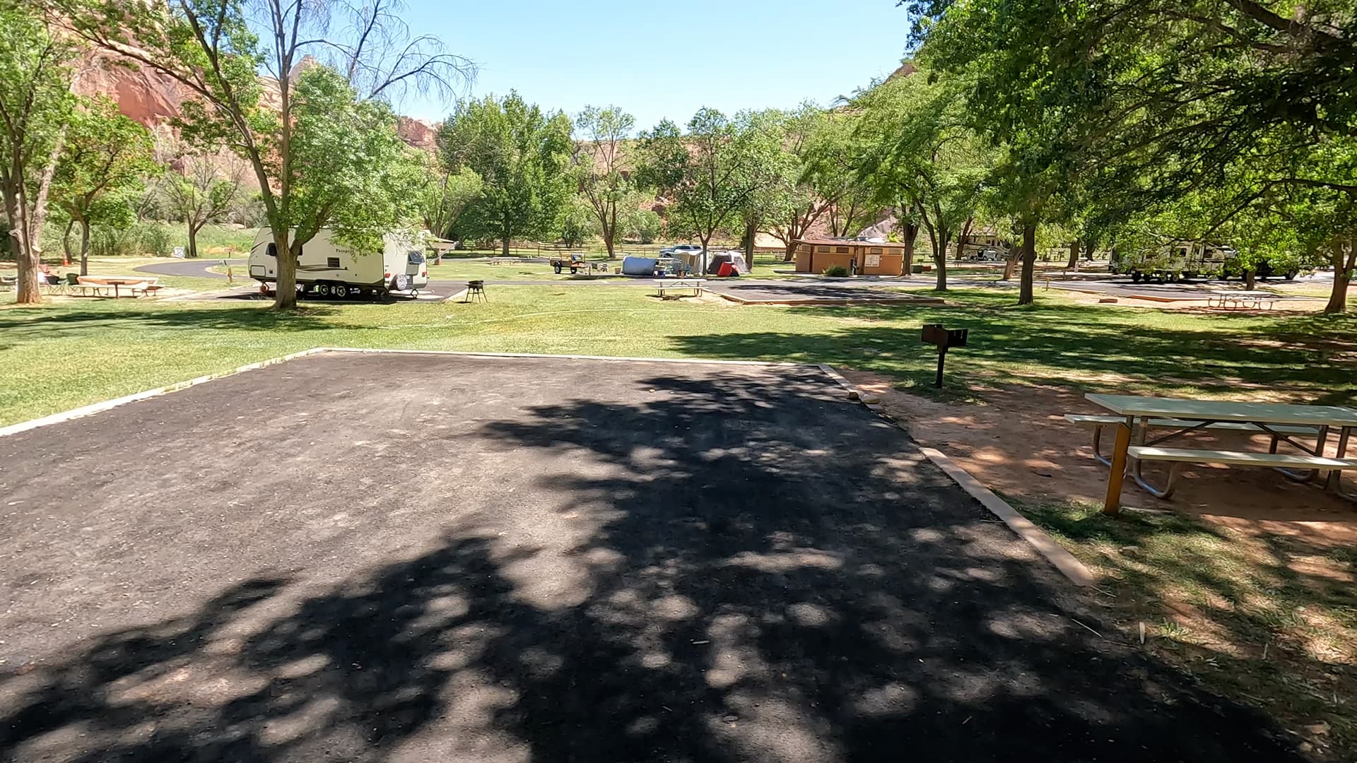
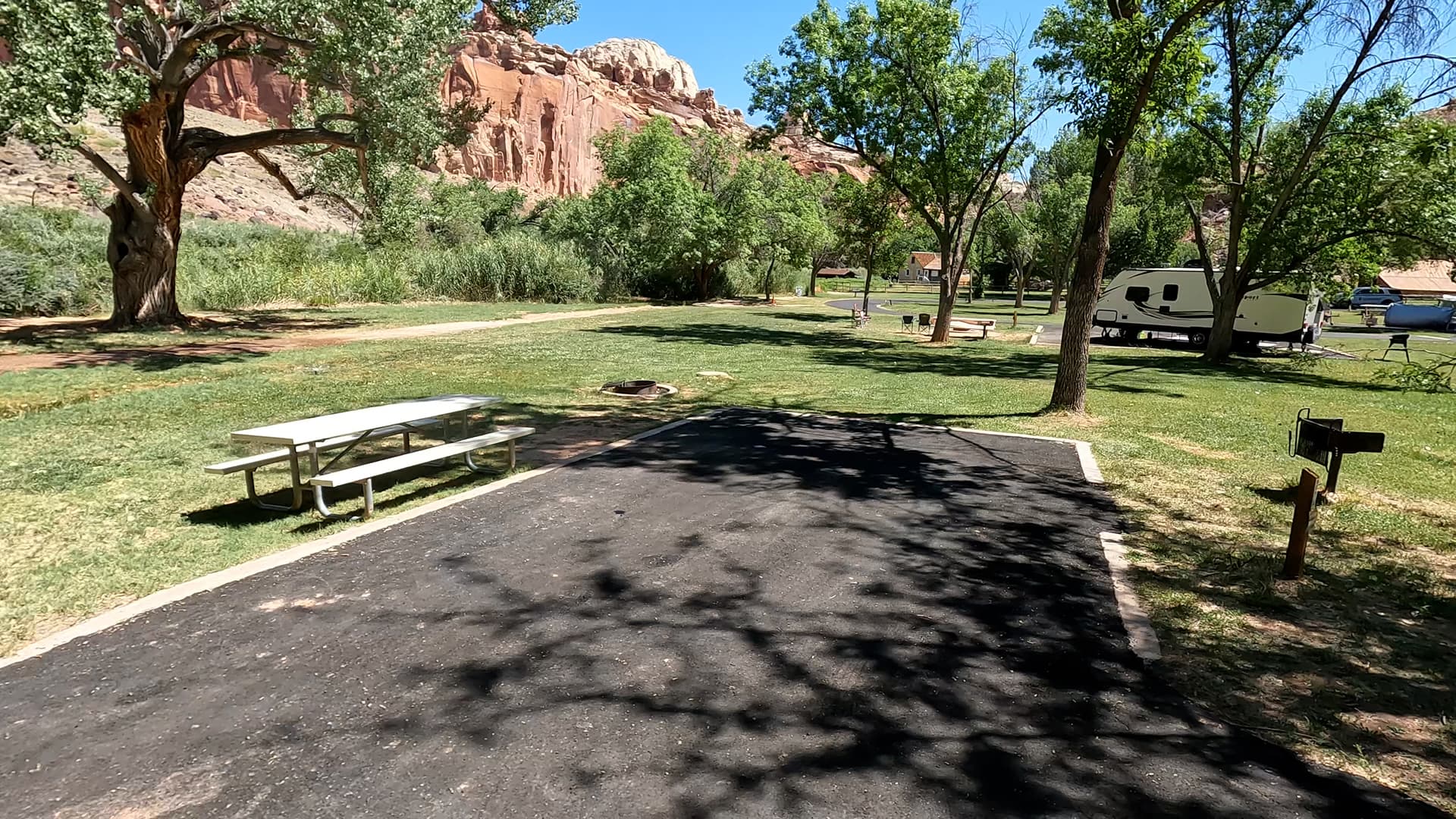
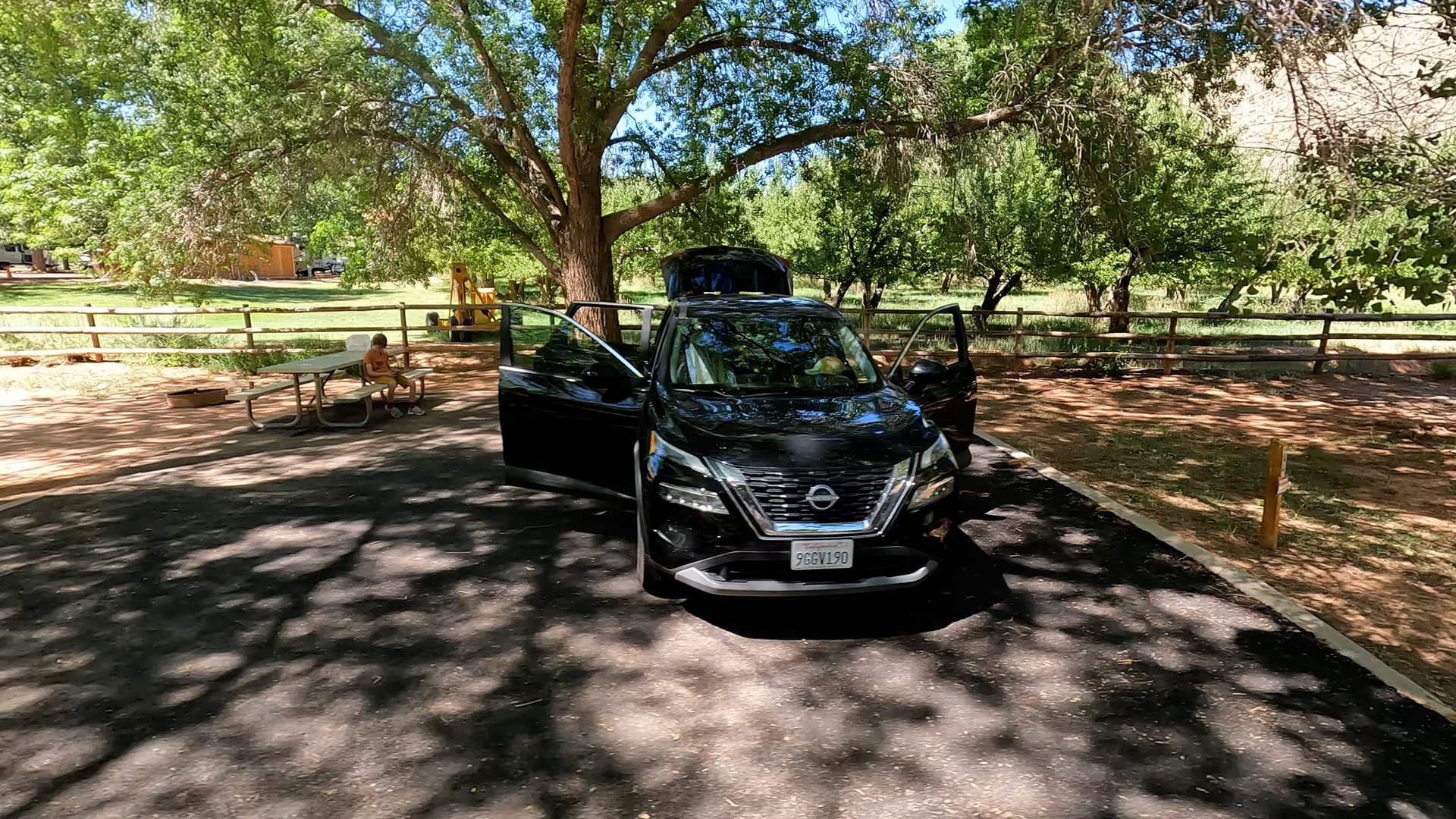
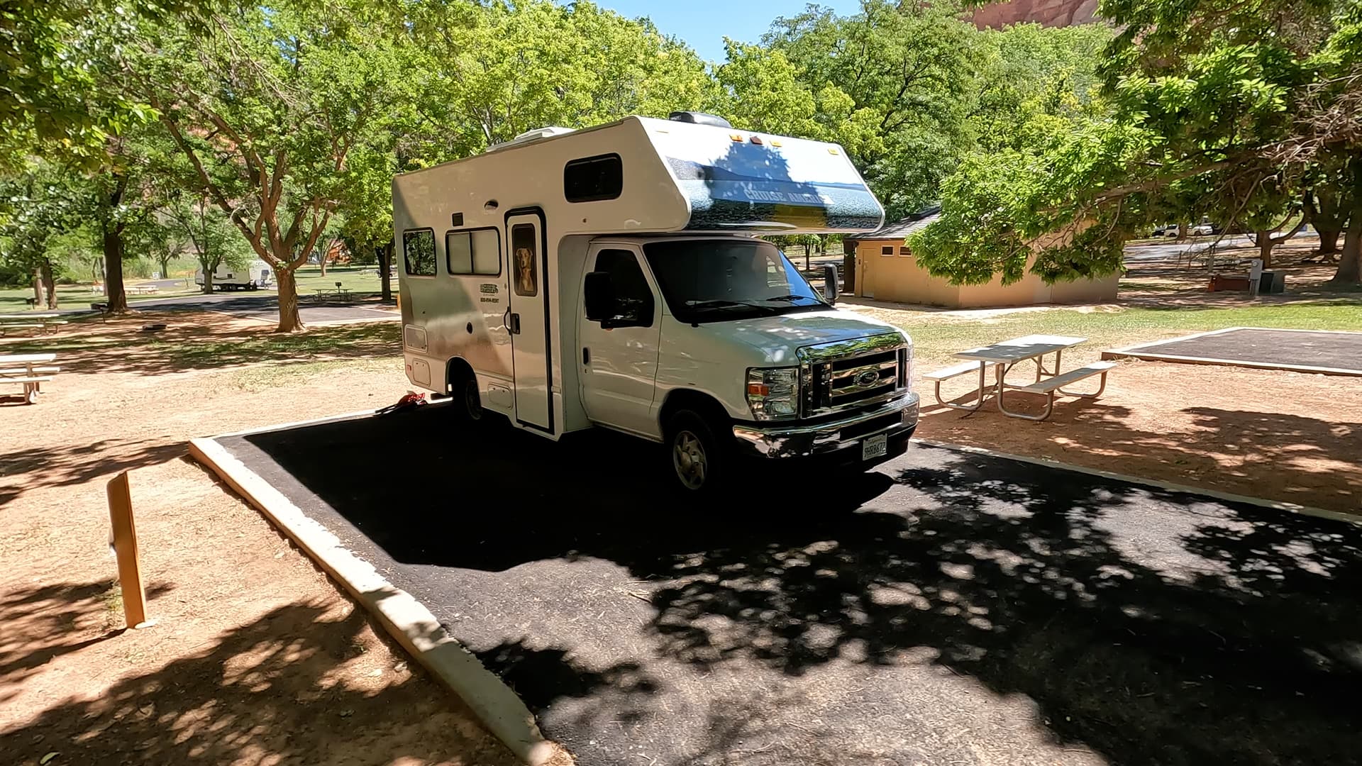
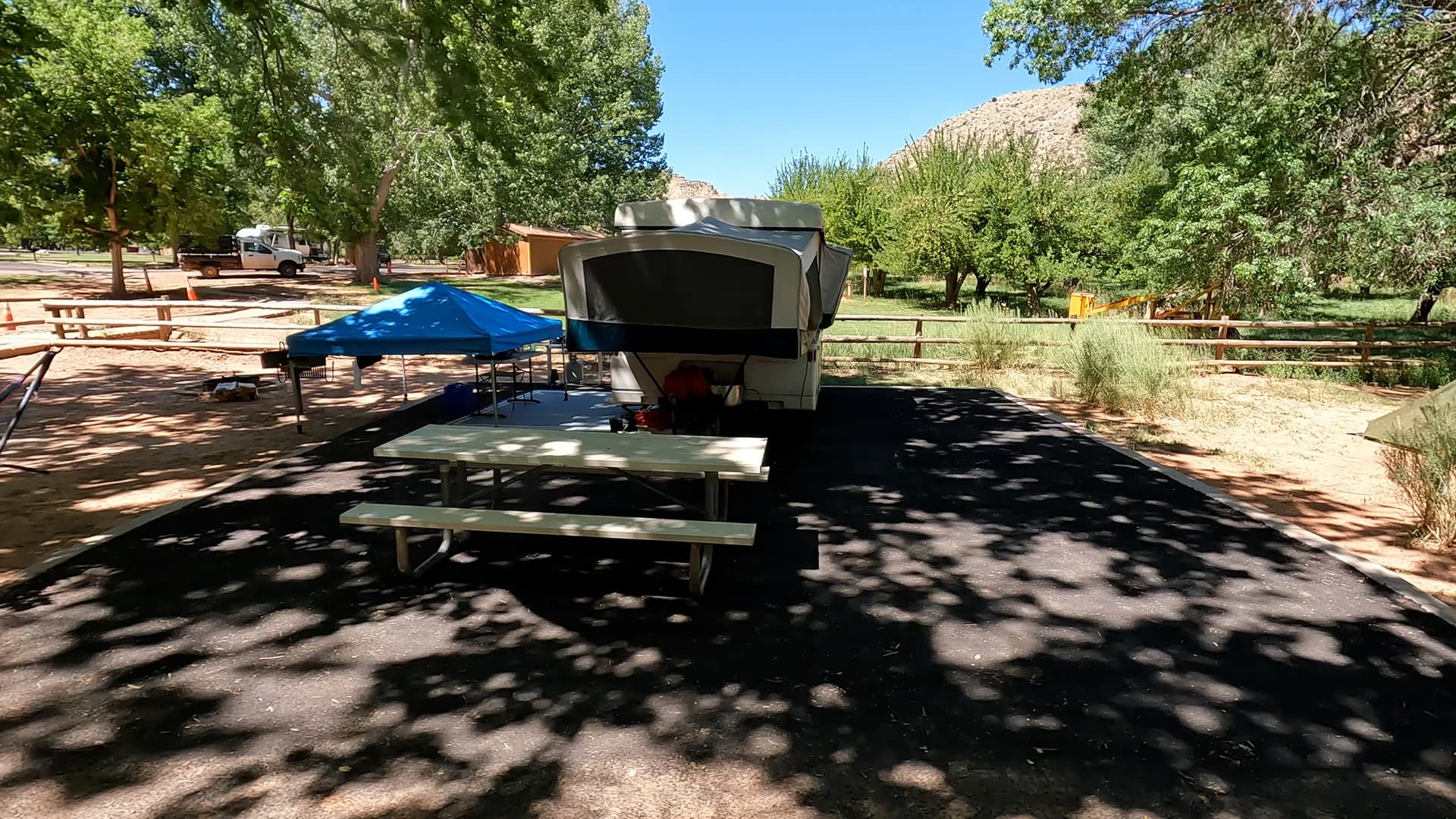
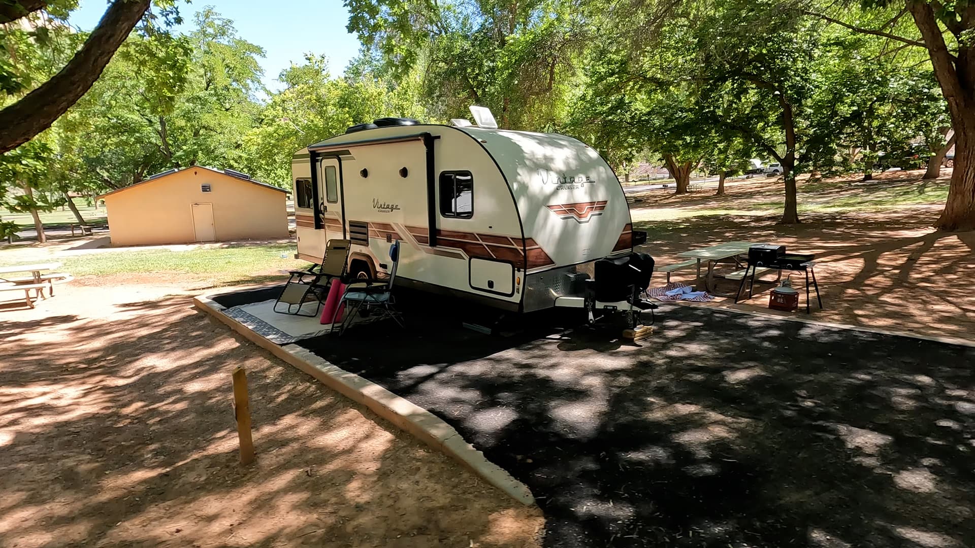
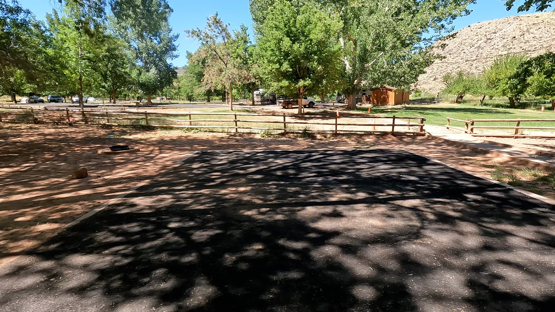
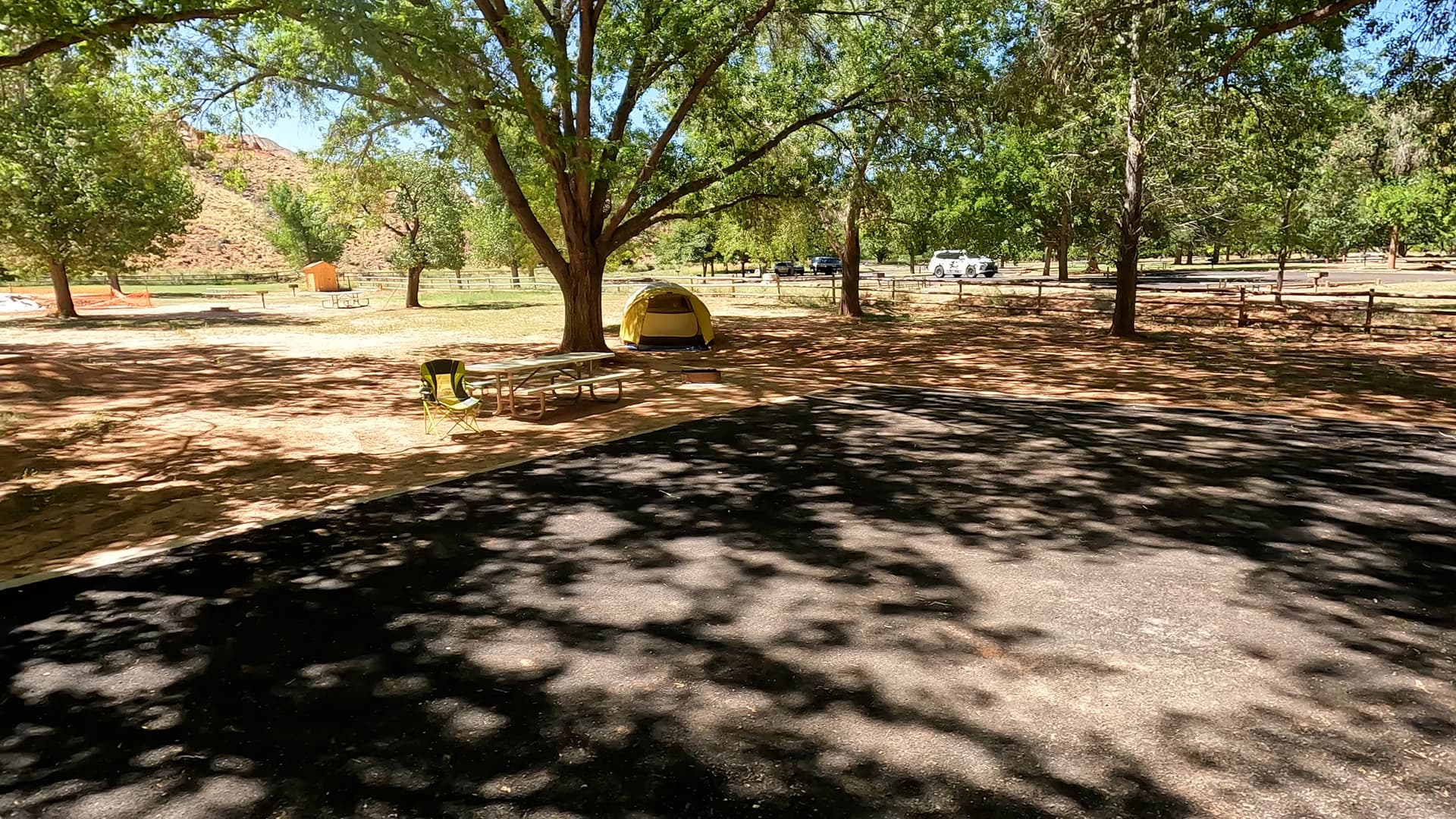
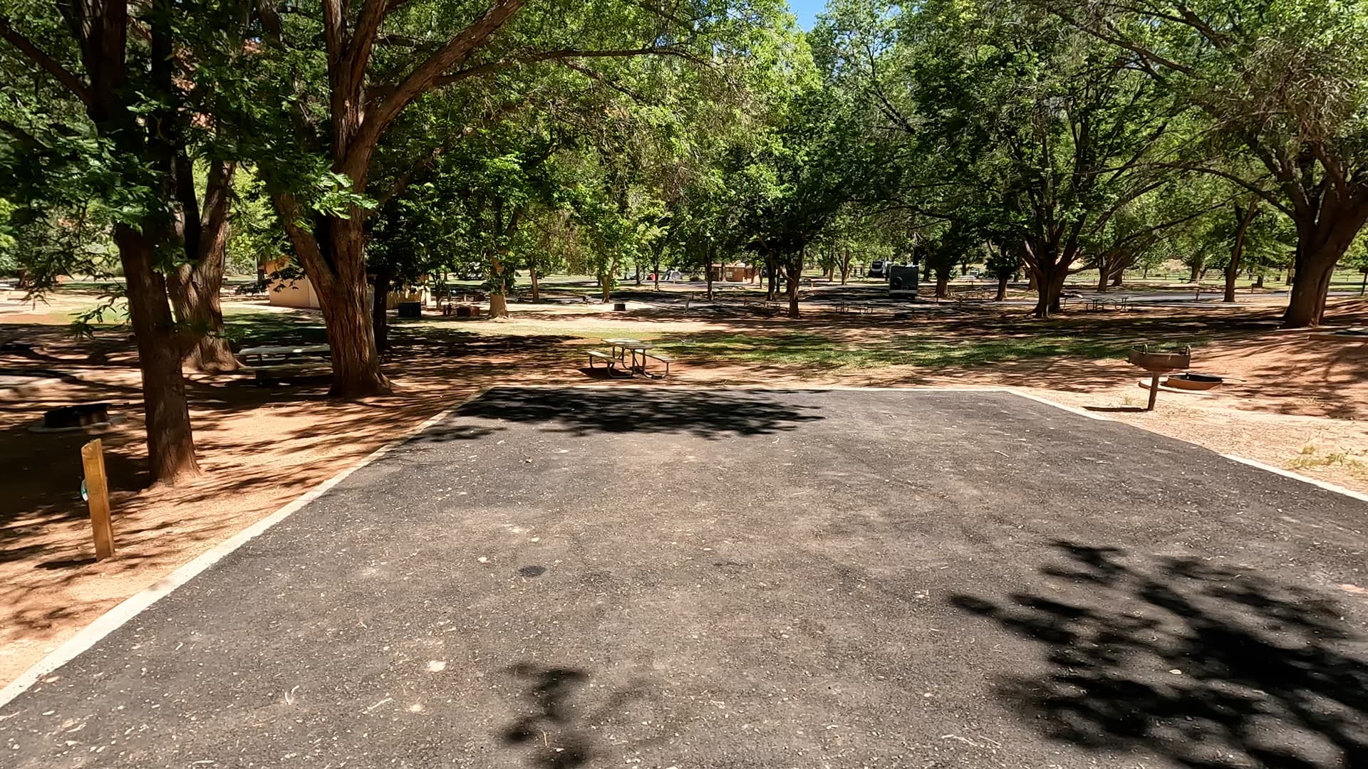
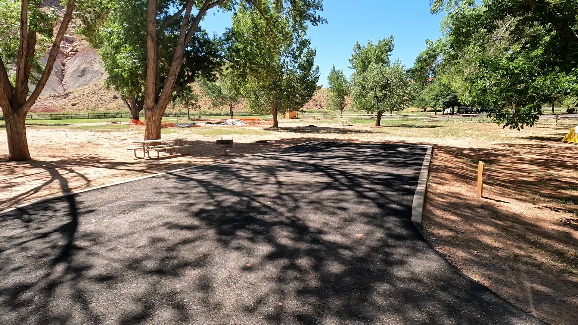
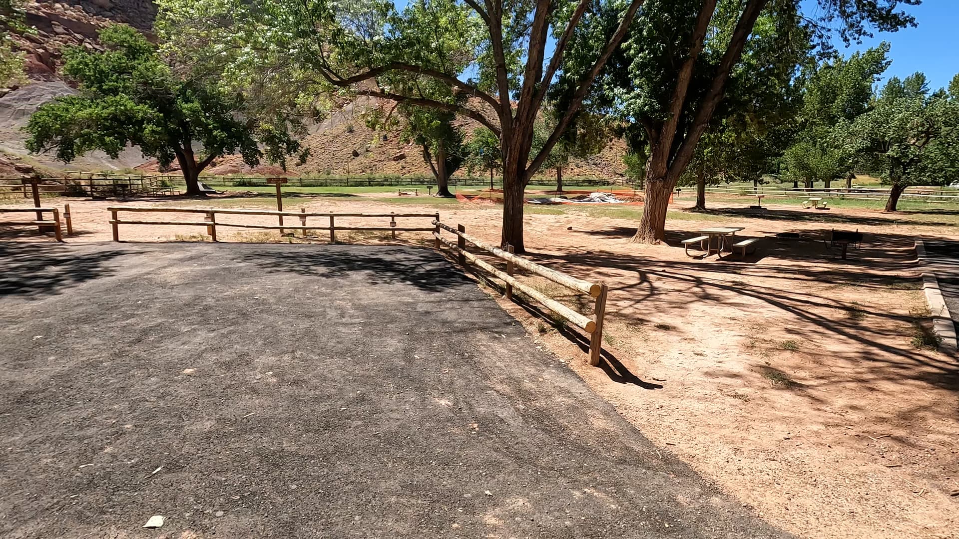
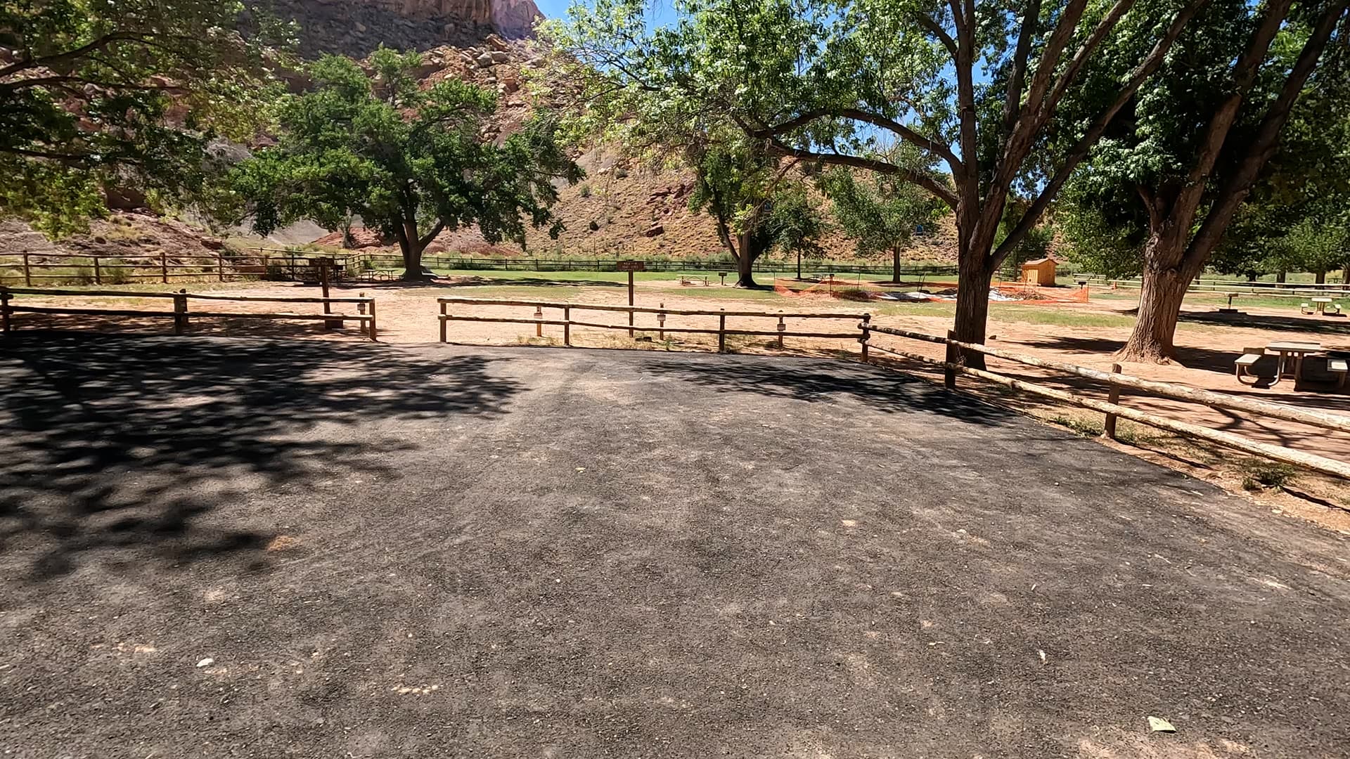
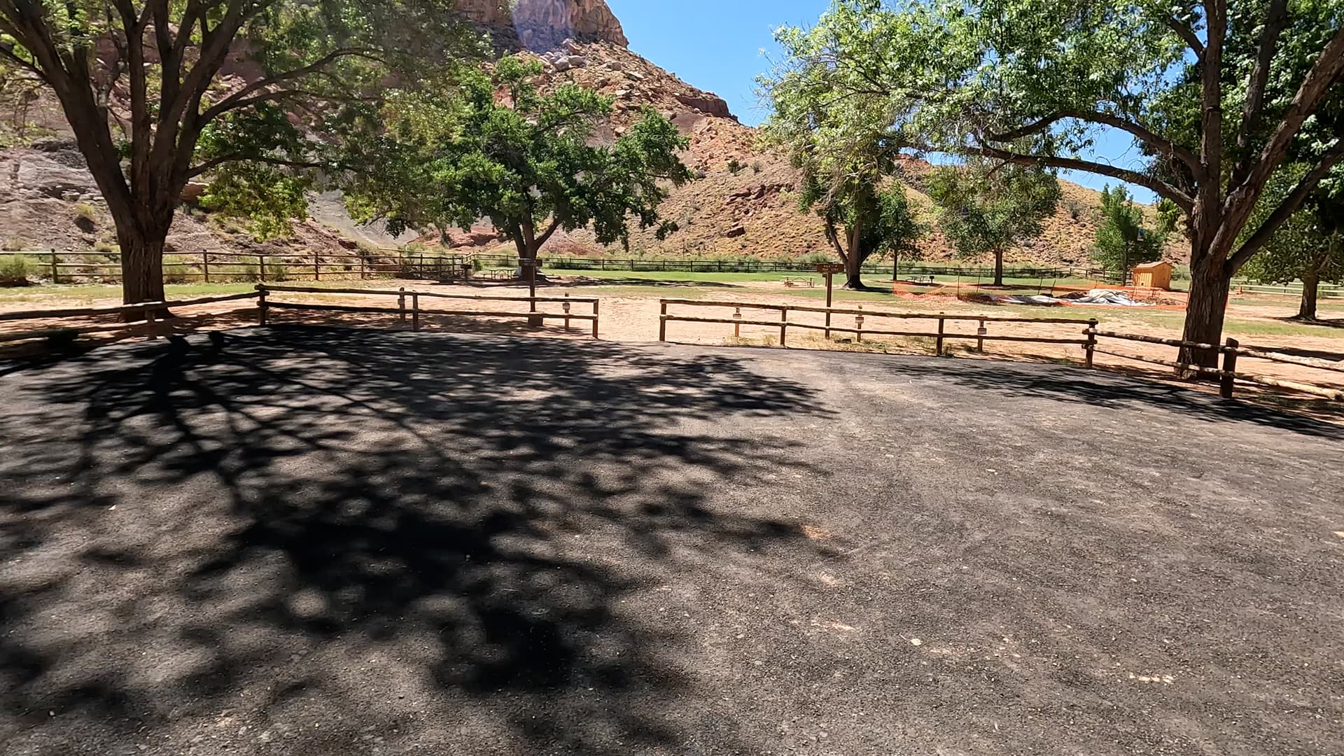
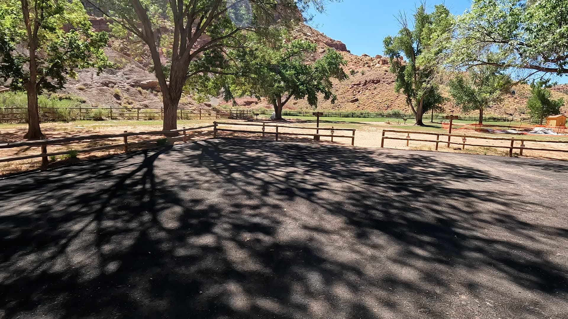
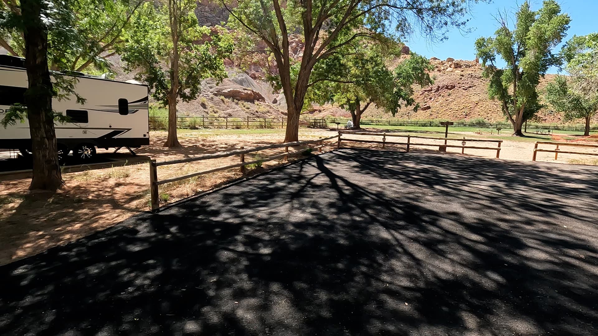
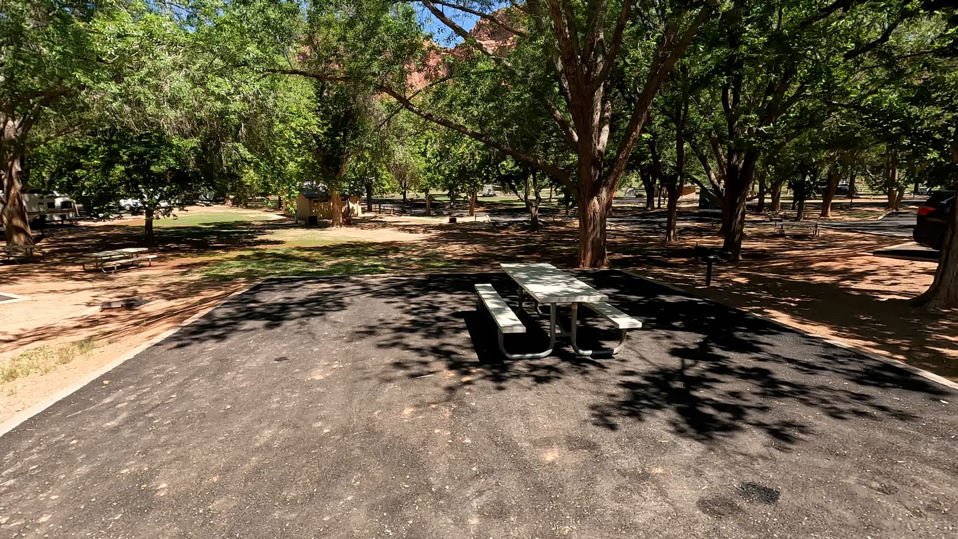
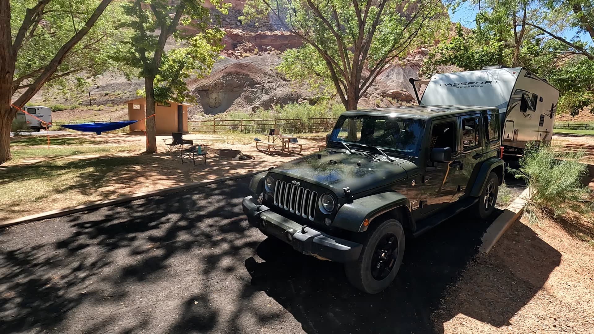
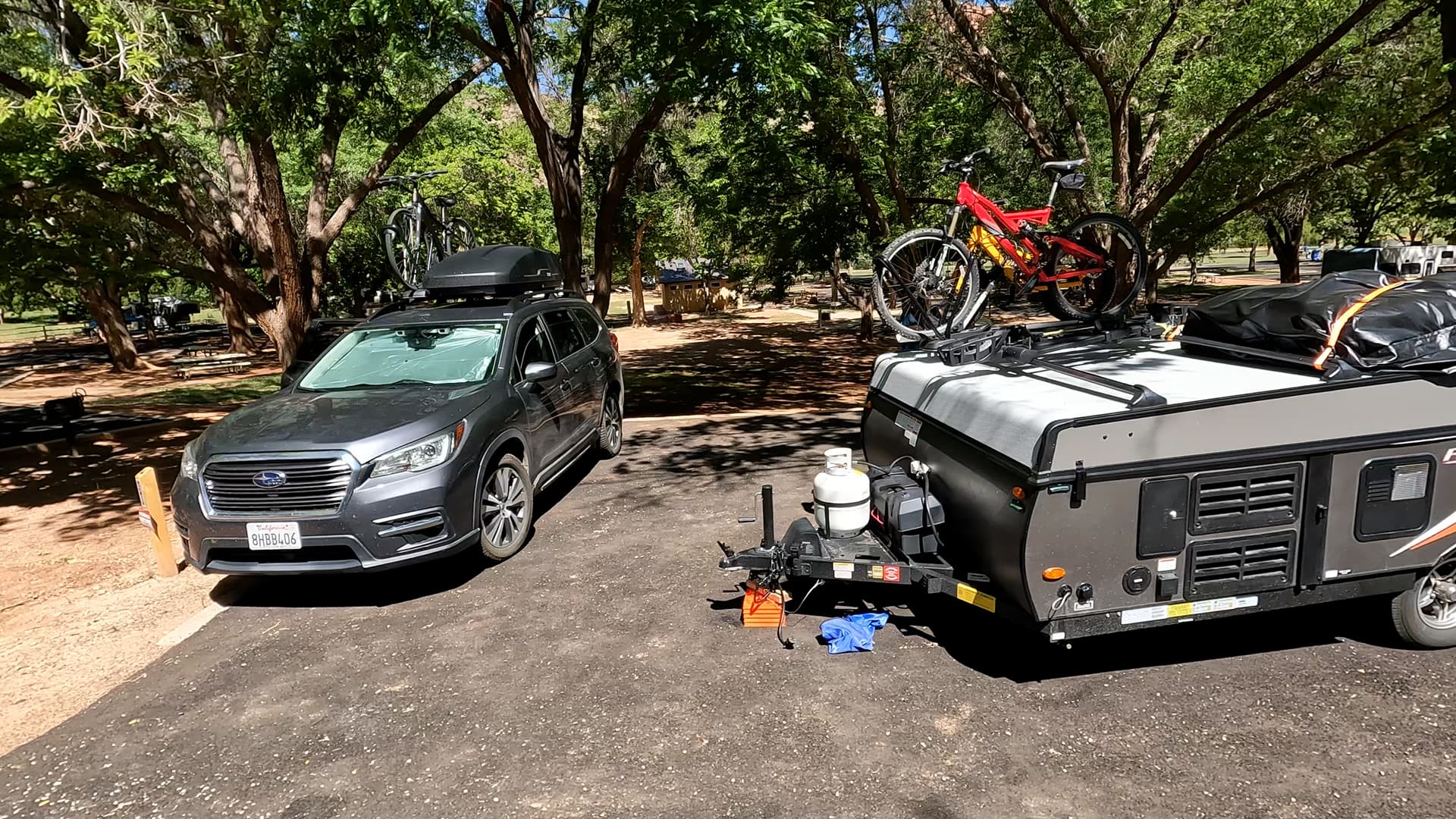
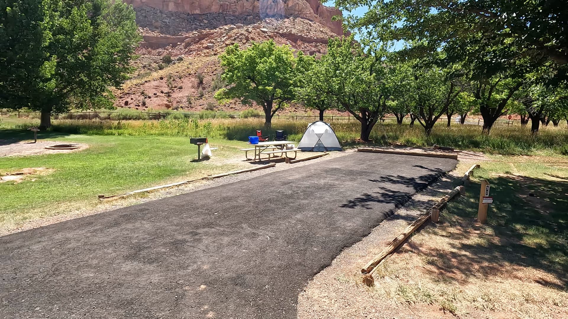
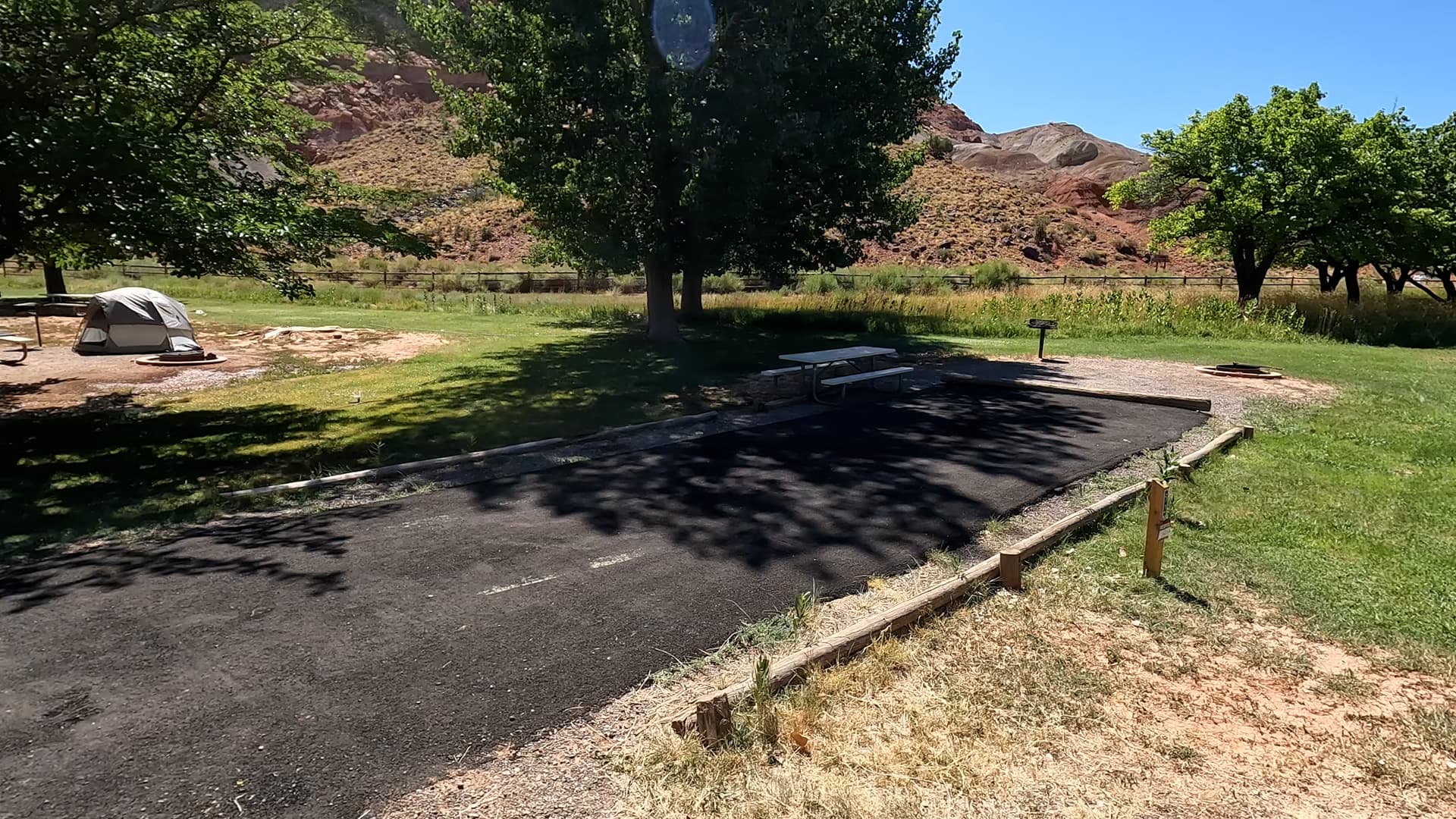
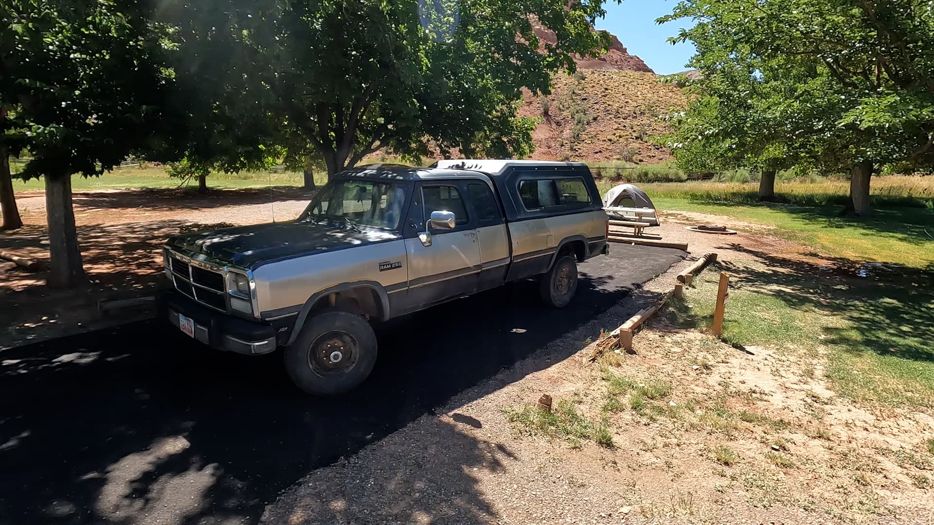
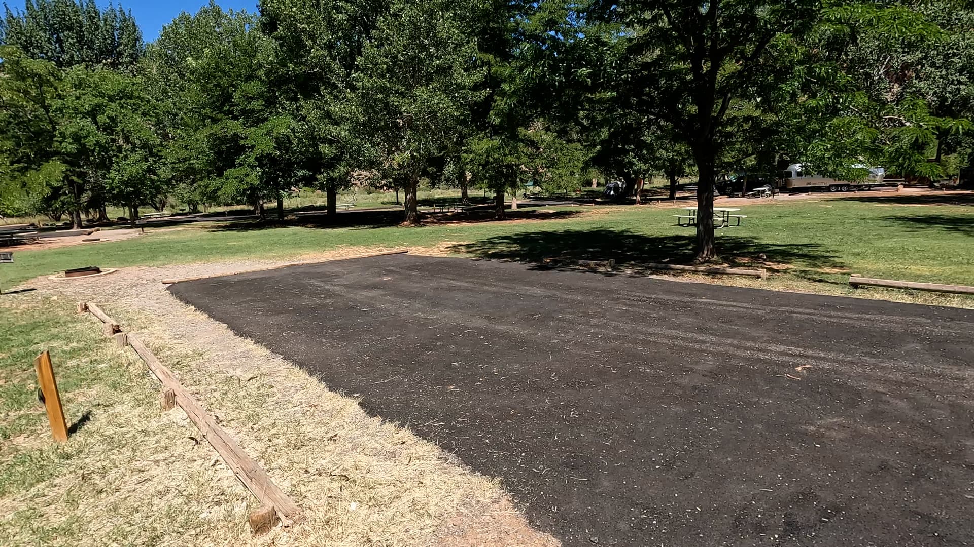
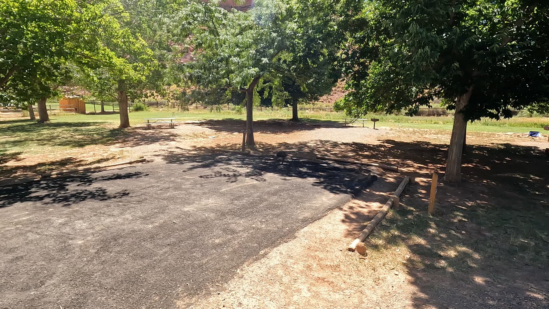
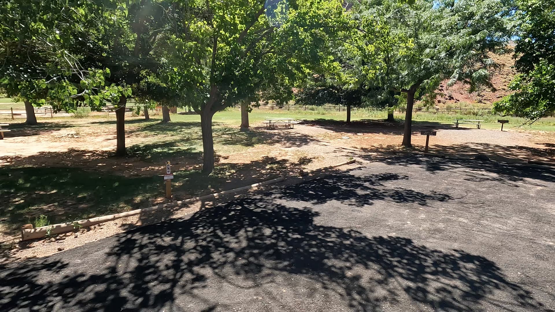
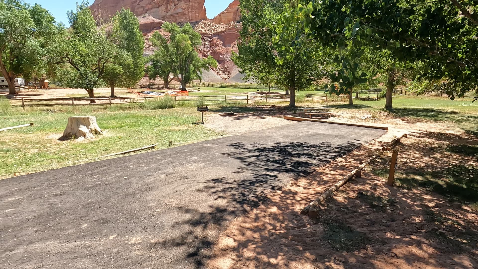
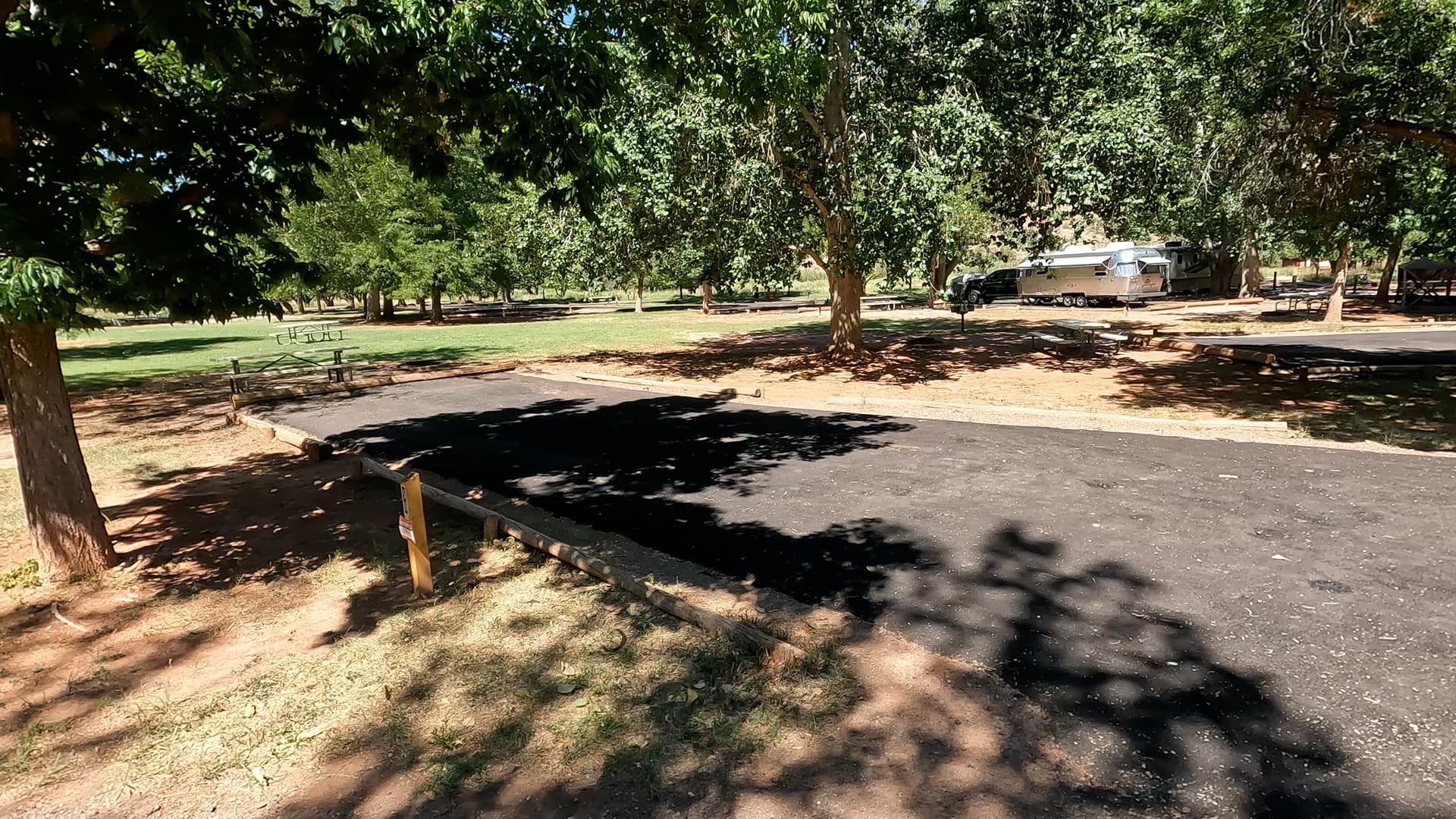
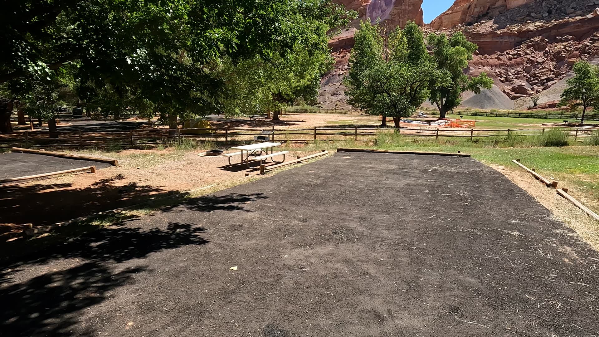
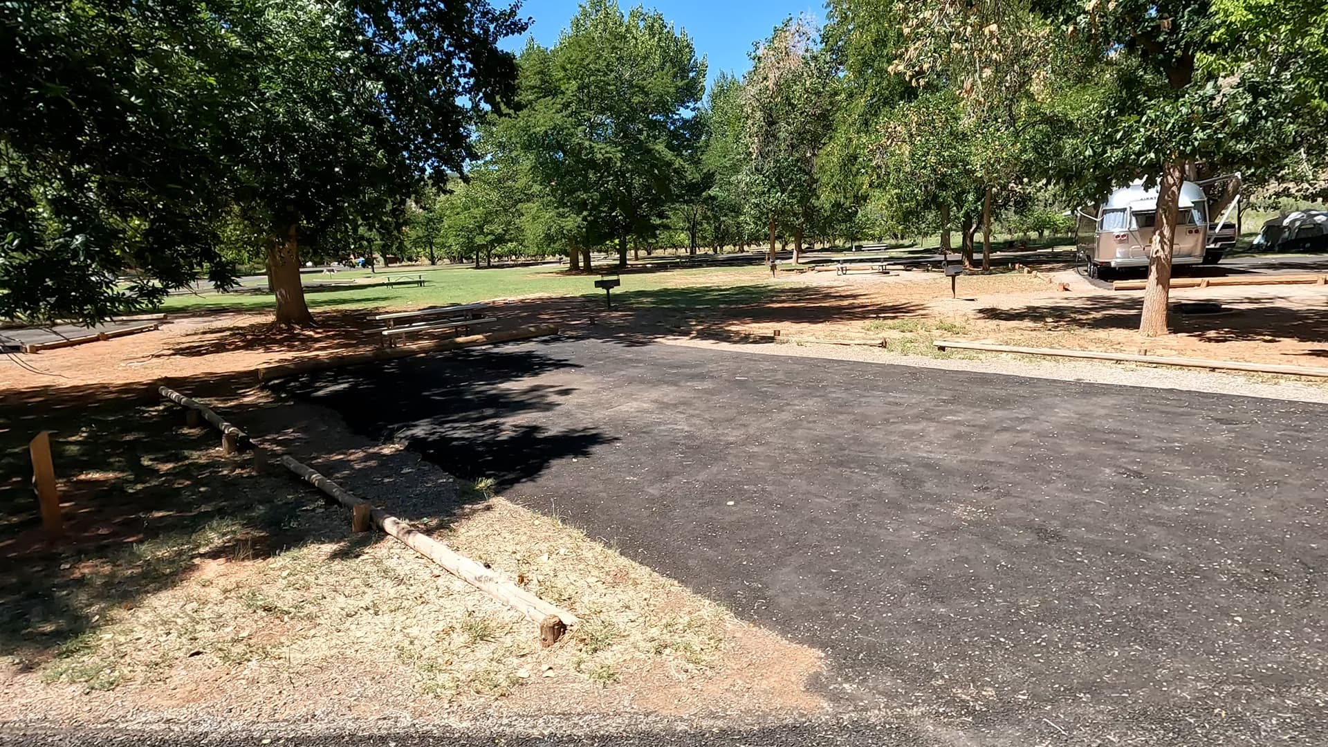
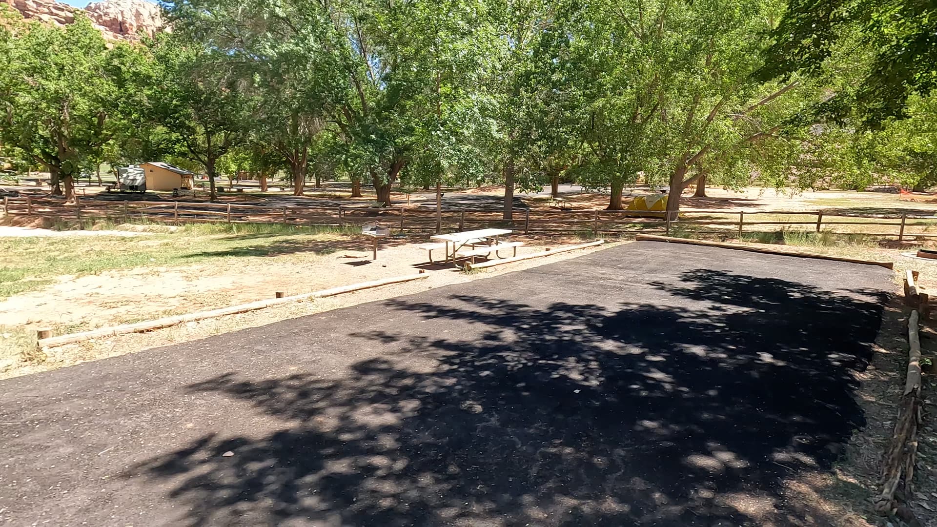
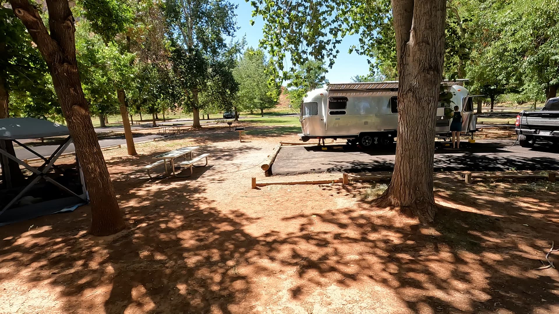
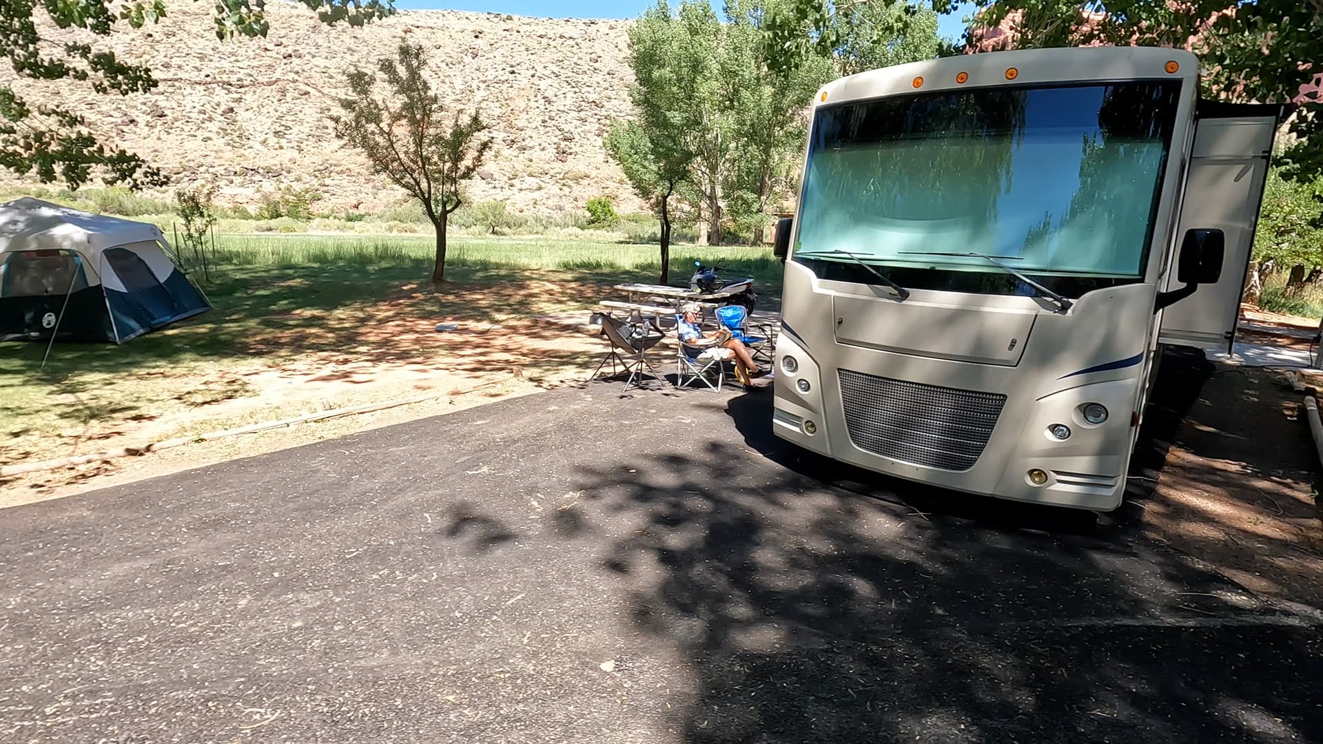
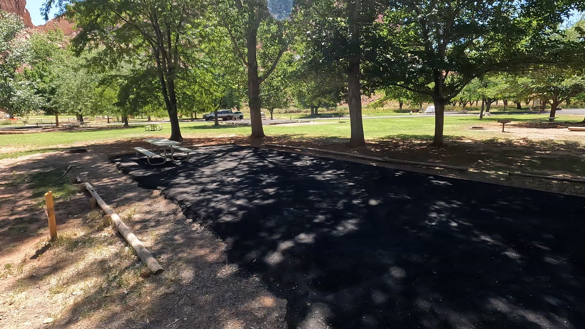
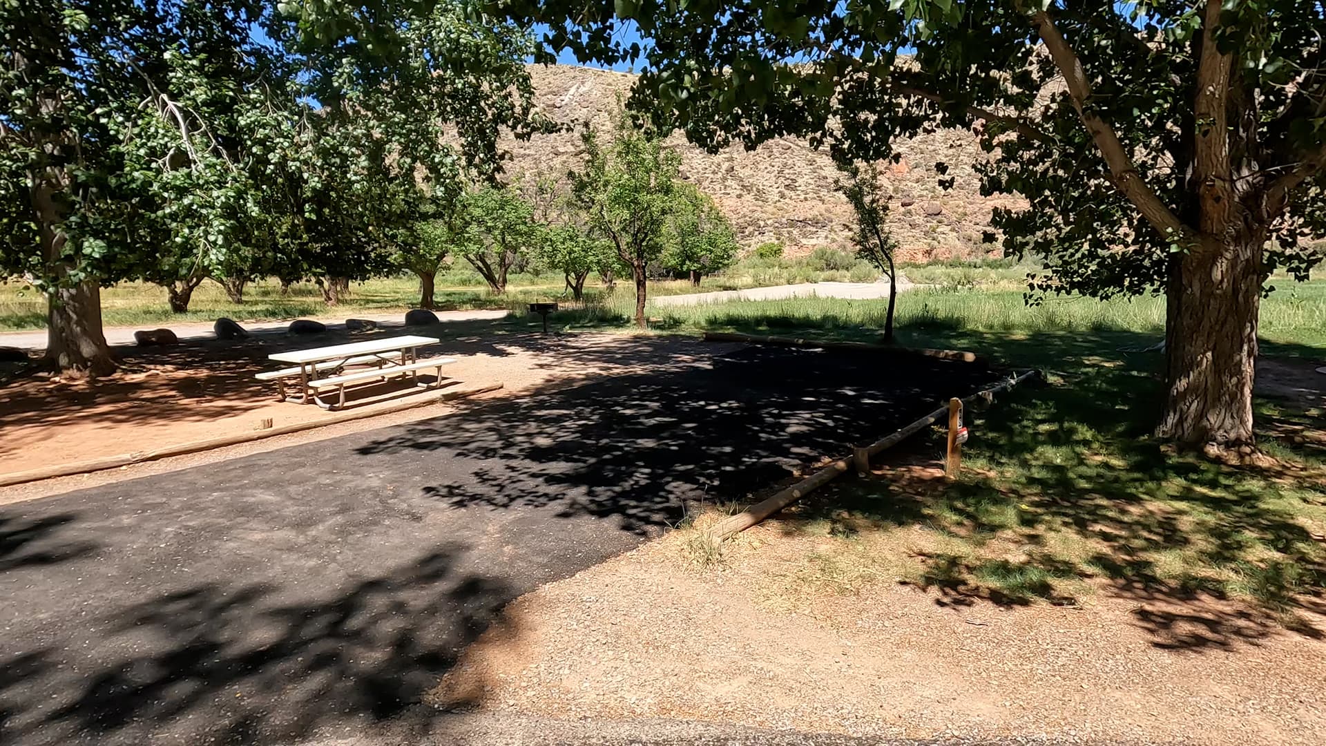
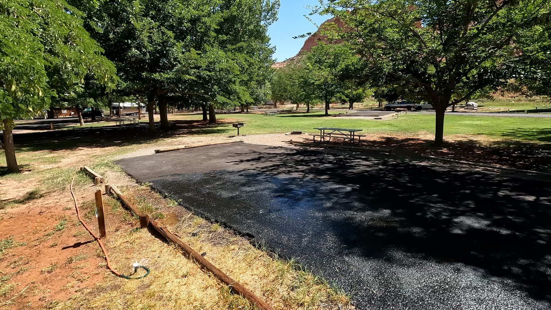
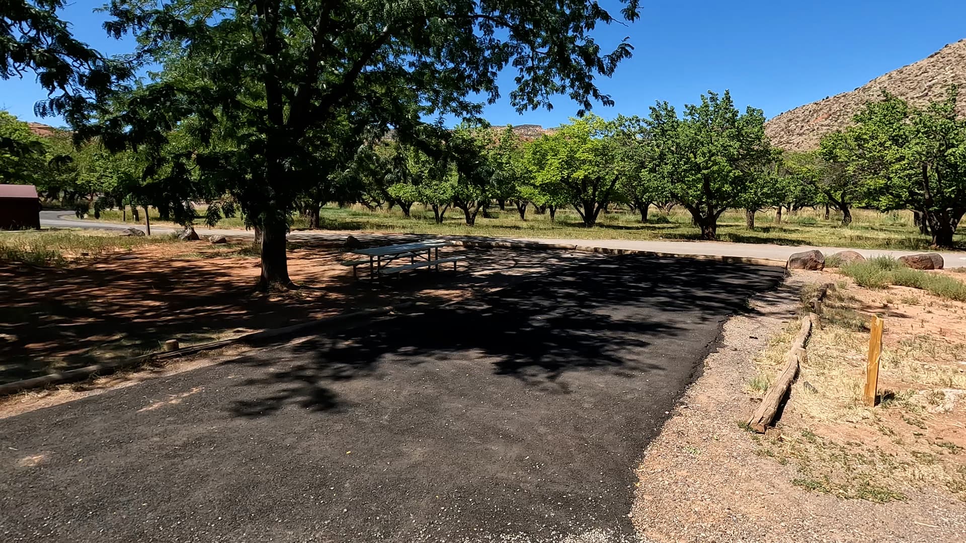
Fruita Campground at Capitol Reef National Park is definitely a contender for campground of the year out of our 2024 camping experiences. The campground has amazing shade provided by the many trees on the grounds. Well, for most sites anyway. There are a couple we point out in the video that are lacking in that area, but all in all, most will stay nice and cool in the hot summer. Most sites are large enough and or spaced out well enough that courteous neighbors should not be a distraction. In our four nights on this trip, we observed this to be the best behaved campground of 2024. The grounds have mule deer that roam around at almost all times of the day. Historic orchards and buildings dot the property. Horses graze on well manicured farmland. The primary reason we feel this is a contender for campground of the year is precisely because of the idyllic setting. It is like camping in a jewel box. That's not to say there may not be a nit pick or two about the campground, but fair warning... we found very little, if anything, to gripe about in this one. Rather, I walk around delighted and amazed most of the time!

Loop the Fold Part One

An Epic Dirt Road Route in Capitol Reef

Featured: Fruita

The first half of Capitol Reef’s Loop the Fold route reveals rugged desert landscapes, vibrant rock layers, and sweeping views. This scenic drive winds past towering cliffs, hidden canyons, and the iconic Waterpocket Fold. The Loop the Fold Route in Capitol Reef National Park is a scenic, backcountry journey that highlights some of Utah's most extraordinary desert landscapes. This loop takes you through rugged canyons, remote valleys, and along the famed Waterpocket Fold, a nearly 100-mile-long warp in the Earth's crust. The route is an ideal way to experience Capitol Reef’s diverse geological wonders away from the crowds, making it popular among adventurous travelers looking for an off-the-beaten-path experience. Starting clockwise from Capitol Reef’s visitor center, the Loop the Fold Route begins by heading south on Notom-Bullfrog Road. This road traces the base of the Waterpocket Fold, a striking geological wrinkle in the Earth's crust that defines Capitol Reef’s landscape. As you drive, you’ll see layers of red, white, and buff sandstone rising steeply to the west, their colors and textures shifting with the changing light. This eastern side of the park feels remote and rugged, and Notom-Bullfrog Road offers some of the best views of the Waterpocket Fold’s unique formations, including cliffs, domes, and narrow ridges. Farther south, the route becomes more adventurous as it nears Burr Trail Road. Here, the road climbs through a series of steep, tight switchbacks, bringing you up to the Strike Valley Overlook. This viewpoint is a highlight of the drive, offering expansive views of the Waterpocket Fold stretching for miles. From this vantage, you get a true sense of the geological forces that shaped the area, with layers of rock dramatically folded and uplifted millions of years ago. The overlook is a great spot to take in Capitol Reef’s grand scale and intricate landforms. As you turn west on Burr Trail Road, the scenery transforms again. The road weaves through narrow sandstone canyons and along sweeping slickrock, with views of colorful rock layers that make Capitol Reef so distinct. The rock formations in this area are eroded into fascinating shapes, creating a labyrinth of narrow passageways and towering walls. Burr Trail Road then heads into the Grand Staircase-Escalante National Monument before reentering Capitol Reef, offering a diverse experience of Utah’s desert landscapes. The loop completes by rejoining Highway 24 and heading back north toward the visitor center, providing a peaceful drive along the Fremont River. This section of the route is more leisurely, with sights like historic orchards, petroglyph panels, and river-cut canyons. Though this final stretch is gentler, it offers a serene contrast to the wild, rugged beauty encountered along the route. Overall, the clockwise journey on the Loop the Fold Route showcases Capitol Reef’s incredible geological variety, from massive folds and colorful canyons to quiet river valleys, making it a truly unforgettable drive.

Loop the Fold Part Two

A Continuation of the Epic Dirt Road Drive

Featured: Fruita

The second half of Capitol Reef’s Loop the Fold route explores Burr Trail’s winding canyons, sweeping slickrock, and dramatic switchbacks. This section captures diverse rock formations and stunning views before reconnecting with Highway 24. The Loop the Fold Route in Capitol Reef National Park is a scenic, backcountry journey that highlights some of Utah's most extraordinary desert landscapes. This loop takes you through rugged canyons, remote valleys, and along the famed Waterpocket Fold, a nearly 100-mile-long warp in the Earth's crust. The route is an ideal way to experience Capitol Reef’s diverse geological wonders away from the crowds, making it popular among adventurous travelers looking for an off-the-beaten-path experience. Starting clockwise from Capitol Reef’s visitor center, the Loop the Fold Route begins by heading south on Notom-Bullfrog Road. This road traces the base of the Waterpocket Fold, a striking geological wrinkle in the Earth's crust that defines Capitol Reef’s landscape. As you drive, you’ll see layers of red, white, and buff sandstone rising steeply to the west, their colors and textures shifting with the changing light. This eastern side of the park feels remote and rugged, and Notom-Bullfrog Road offers some of the best views of the Waterpocket Fold’s unique formations, including cliffs, domes, and narrow ridges. Farther south, the route becomes more adventurous as it nears Burr Trail Road. Here, the road climbs through a series of steep, tight switchbacks, bringing you up to the Strike Valley Overlook. This viewpoint is a highlight of the drive, offering expansive views of the Waterpocket Fold stretching for miles. From this vantage, you get a true sense of the geological forces that shaped the area, with layers of rock dramatically folded and uplifted millions of years ago. The overlook is a great spot to take in Capitol Reef’s grand scale and intricate landforms. As you turn west on Burr Trail Road, the scenery transforms again. The road weaves through narrow sandstone canyons and along sweeping slickrock, with views of colorful rock layers that make Capitol Reef so distinct. The rock formations in this area are eroded into fascinating shapes, creating a labyrinth of narrow passageways and towering walls. Burr Trail Road then heads into the Grand Staircase-Escalante National Monument before reentering Capitol Reef, offering a diverse experience of Utah’s desert landscapes. The loop completes by rejoining Highway 24 and heading back north toward the visitor center, providing a peaceful drive along the Fremont River. This section of the route is more leisurely, with sights like historic orchards, petroglyph panels, and river-cut canyons. Though this final stretch is gentler, it offers a serene contrast to the wild, rugged beauty encountered along the route. Overall, the clockwise journey on the Loop the Fold Route showcases Capitol Reef’s incredible geological variety, from massive folds and colorful canyons to quiet river valleys, making it a truly unforgettable drive.

Taking it Easy in Capitol Reef

Exploring This Beautiful Park

Featured: Fruita

Capitol Reef is the perfect place to chill. Stroll through the Gifford House for fresh pies, wander the serene Grand Wash, admire grazing horses, and soak in the park’s breathtaking desert scenery. Capitol Reef offers a tranquil escape where nature and history come together to create the ultimate chill spot. Start your day with a visit to the Gifford House, a charming historic homestead nestled in the lush Fruita valley. Here, you can savor freshly baked pies, jams, and other treats made with local ingredients, perfect for a peaceful picnic beneath the shade of ancient cottonwood trees. For a dose of adventure, head to the Grand Wash Trail. This easy hike leads you through a stunning canyon with towering sandstone walls and a quiet ambiance that feels like stepping back in time. Whether you walk the full trail or just explore a section, the serenity of the canyon is unmatched, offering a perfect escape from the hustle and bustle. As you wander the park, keep an eye out for horses grazing in the nearby pastures, their presence adding a pastoral charm to the breathtaking scenery. Capitol Reef’s unique landscapes, from its vibrant rock formations to its serene orchards, invite you to slow down, take a deep breath, and fully immerse yourself in the beauty of this desert oasis.

Capitol Reef to Natural Bridges

Utah’s Ultimate Scenic Journey

Featured: Natural Bridges, Fruita, Goblin Valley

Embark on a stunning journey with us from Capitol Reef to Natural Bridges, discovering some of Utah's most awe-inspiring landscapes along the way. Begin with a stop at Goblin Valley State Park, where unique hoodoo formations create a surreal, otherworldly playground. Nearby, the slot canyons of Little Wild Horse Canyon invite you to wander through twisting sandstone corridors, a perfect mix of adventure and tranquility. Continue your route toward Hite Overlook, where sweeping views of the Colorado River and the dramatic cliffs of Glen Canyon showcase the raw beauty of Utah’s high desert. As you approach Natural Bridges, marvel at the seamless connection between nature’s artistry and the timeless landscape. Each stop along this route offers a piece of Utah's geologic story, ensuring the journey is as remarkable as the destination.

Not My Best Day Offroading

A Backroads Utah Adventure With Highs and Lows

Featured: Escalante Petrified Forest, Fruita, Kodachrome Basin, Panguitch Lake South, Te-Ah

Hole in the Rock Road winds through Utah’s remote desert, leading adventurers to stunning sites like the surreal Cosmic Ashtray, the unique rock formations of Devil's Garden, and the historic Batty Pass Caves. Hole in the Rock Road is an iconic, rugged backcountry route that takes explorers deep into Utah’s Escalante Desert. Originally blazed by Mormon pioneers in the late 1800s, this unpaved road now invites adventurers to discover some of the area’s most unique and remote attractions. Stretching over 60 miles, Hole in the Rock Road is surrounded by sweeping vistas, colorful desert formations, and landmarks that offer a fascinating look into both natural and human history. Along the journey, visitors can hike to incredible sites like the Cosmic Ashtray, a surreal, crater-like sandstone formation that appears almost alien in its design, carved by millennia of wind and water erosion. Further along, Devil’s Garden showcases a striking collection of sandstone hoodoos, arches, and towers that feel like stepping into a natural sculpture garden, offering plenty of opportunities for exploration and photography. The Batty Pass Caves add a touch of mystery; these man-made caves, carved into the cliffs, were used by the Batty family as a unique homestead in the early 20th century. Hole in the Rock Road is more than just a drive—it’s an adventure that promises solitude, spectacular scenery, and a glimpse into the past. Its many side trails lead to secluded wonders, perfect for those seeking to explore Utah’s lesser-known desert marvels.

Campground Overview

Fruita Campground – Capitol Reef National Park, Utah

Fruita Campground is the main developed campground in Capitol Reef National Park and is often described as an oasis in the desert. Nestled along the Fremont River and surrounded by historic orchards and sheer red rock cliffs, this lush, green pocket offers one of the most scenic and memorable basecamps in Utah’s red rock country. With its combination of shade, scenery, and central location, Fruita is a favorite for road trippers, hikers, and national park campers alike.

Location & Setting

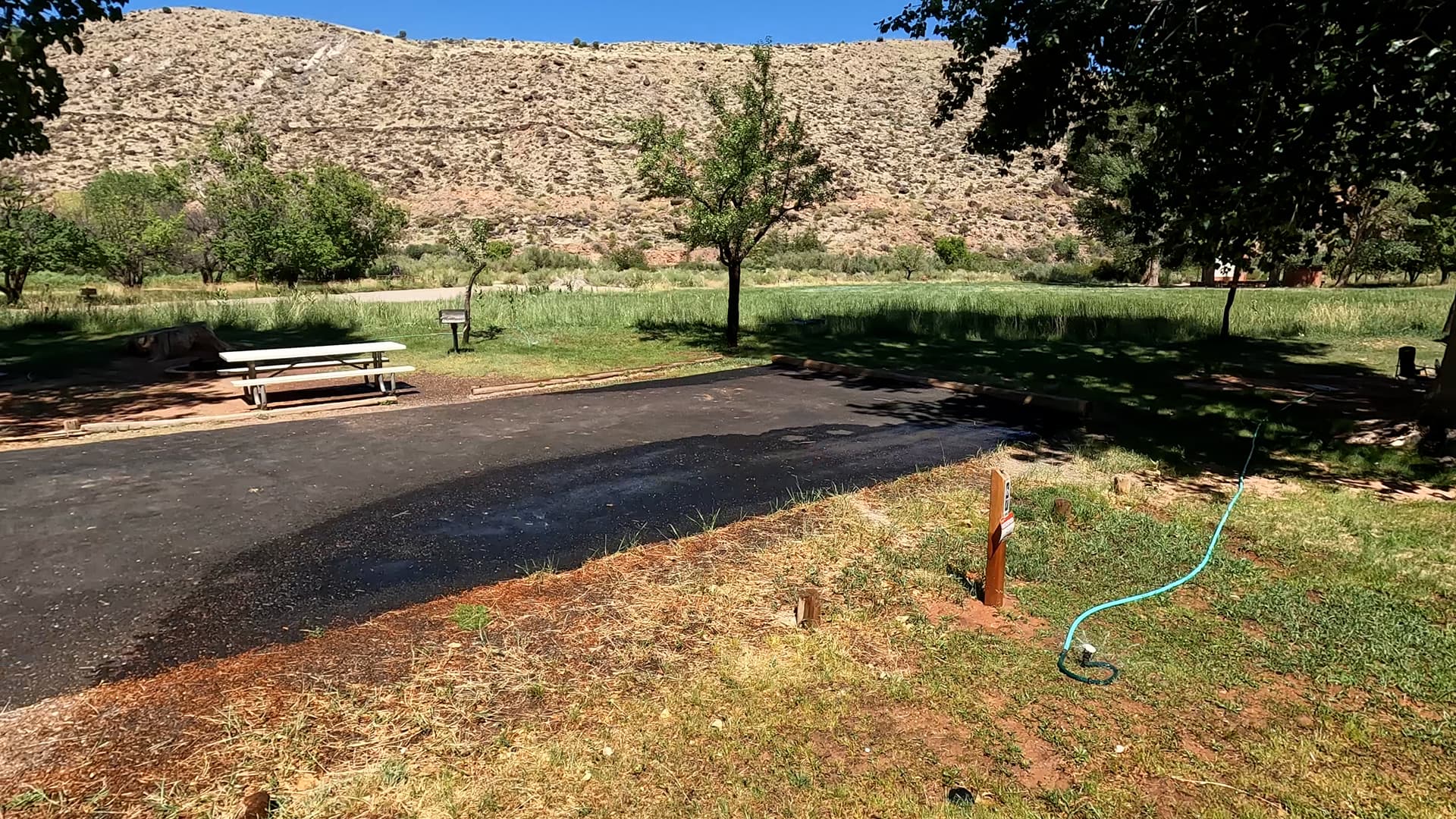
The campground is located about one mile south of the Capitol Reef Visitor Center, just off the park’s Scenic Drive near the Fruita Historic District. Here, old pioneer orchards, the Fremont River, and irrigated grassy areas create a striking contrast with the surrounding cliffs, domes, and canyons of the Waterpocket Fold. From camp you can easily walk or bike to the visitor center, Gifford House, orchards, and several nearby trailheads, making Fruita one of the most convenient places to stay while exploring the park.

Campground Overview

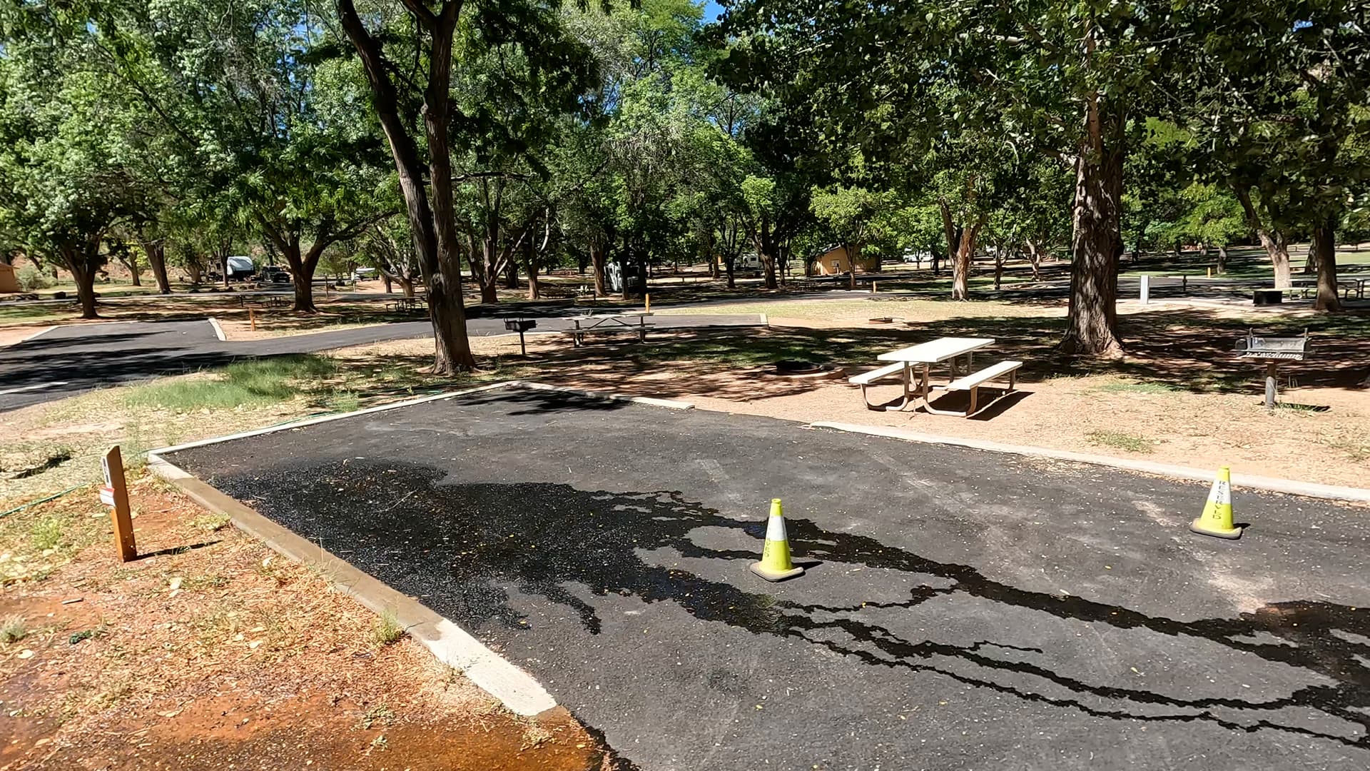
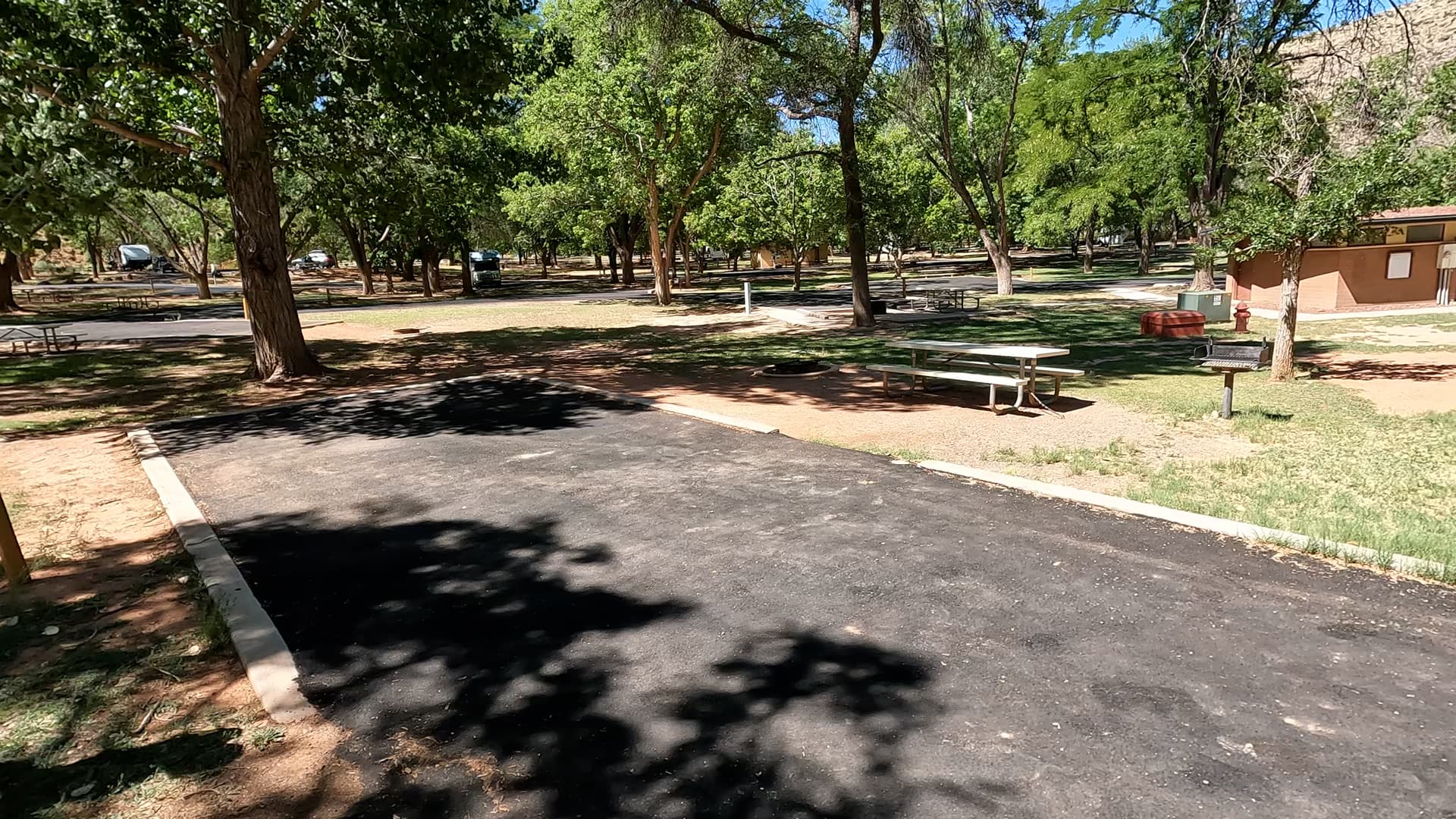
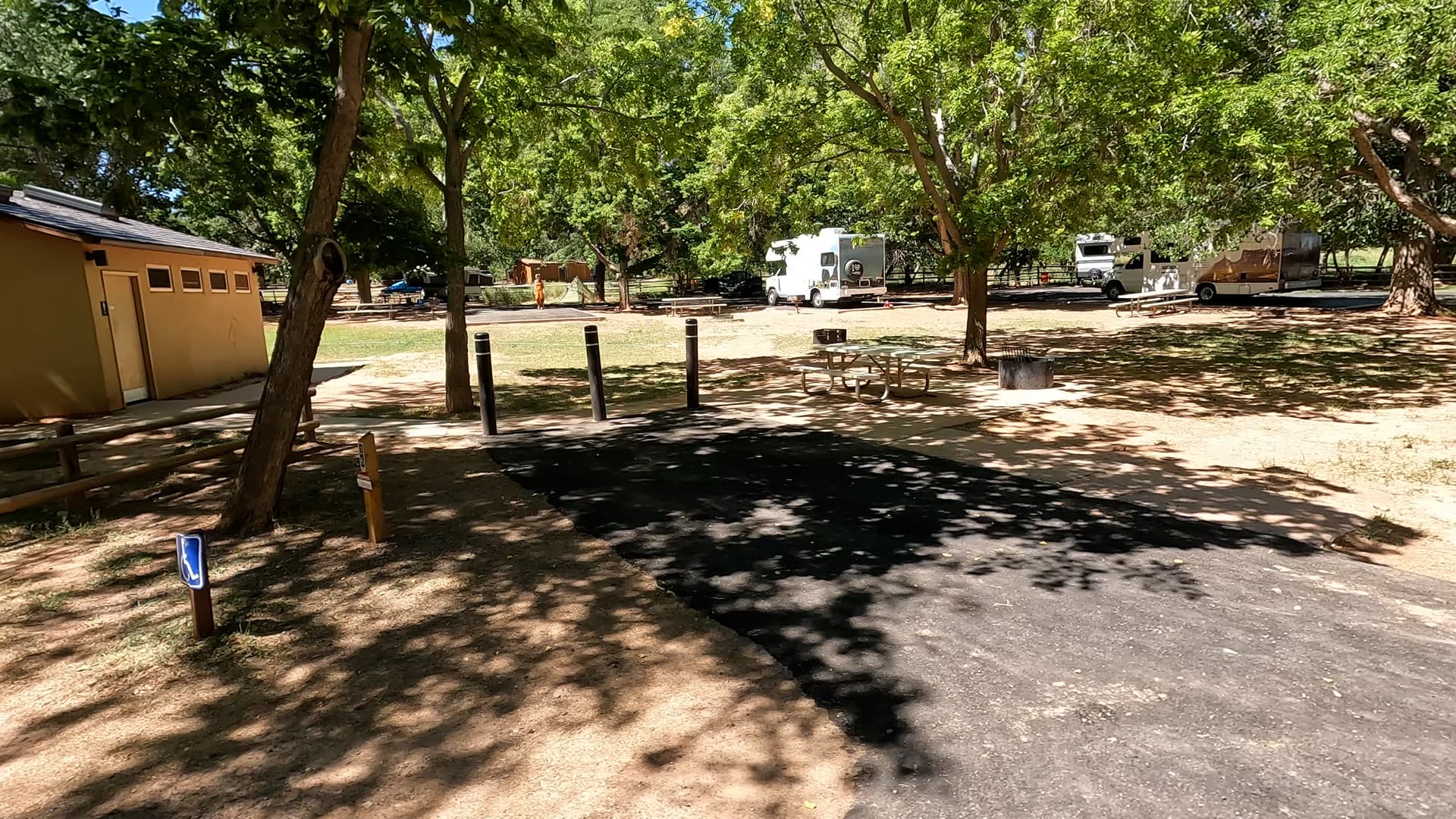
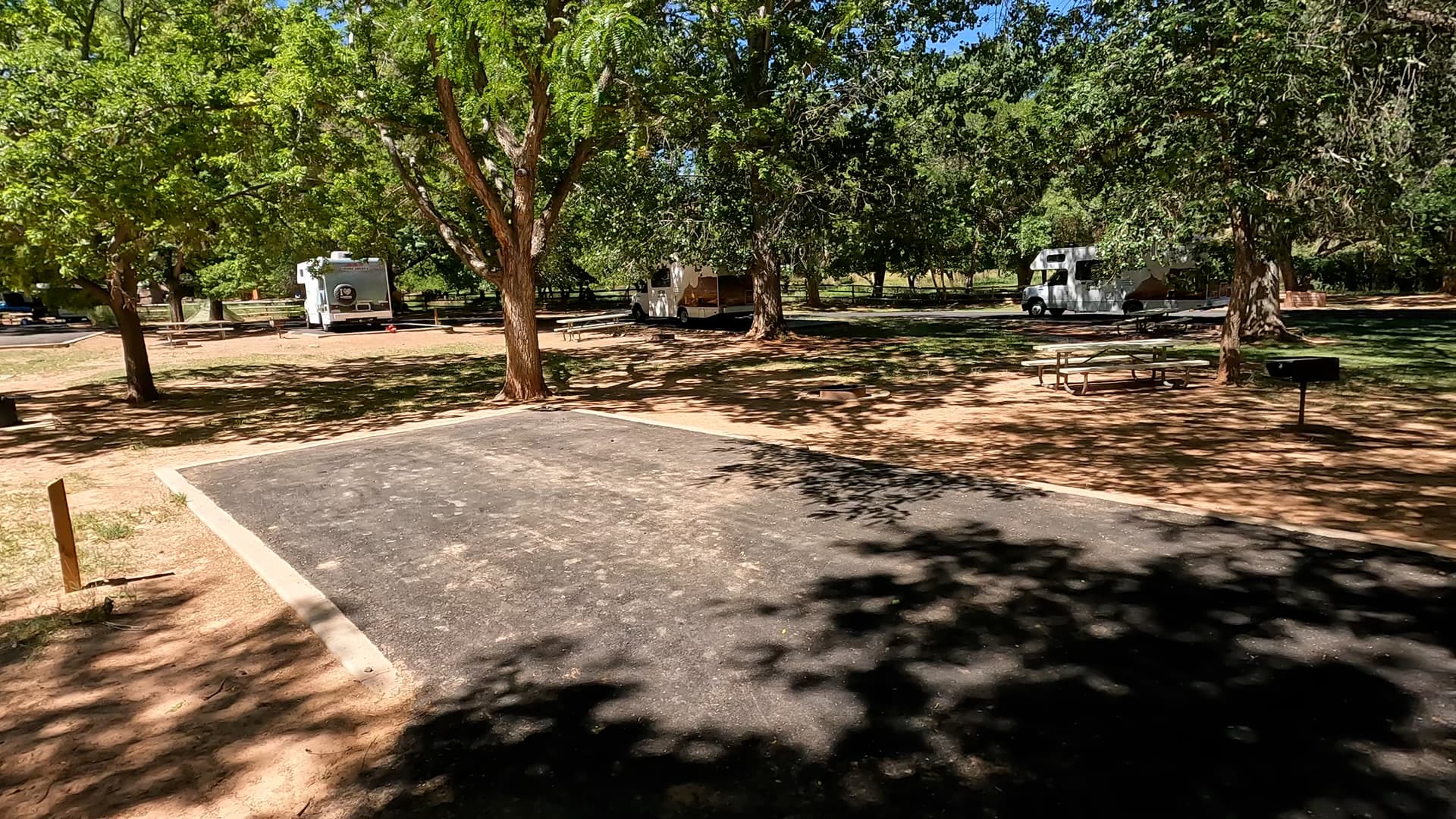
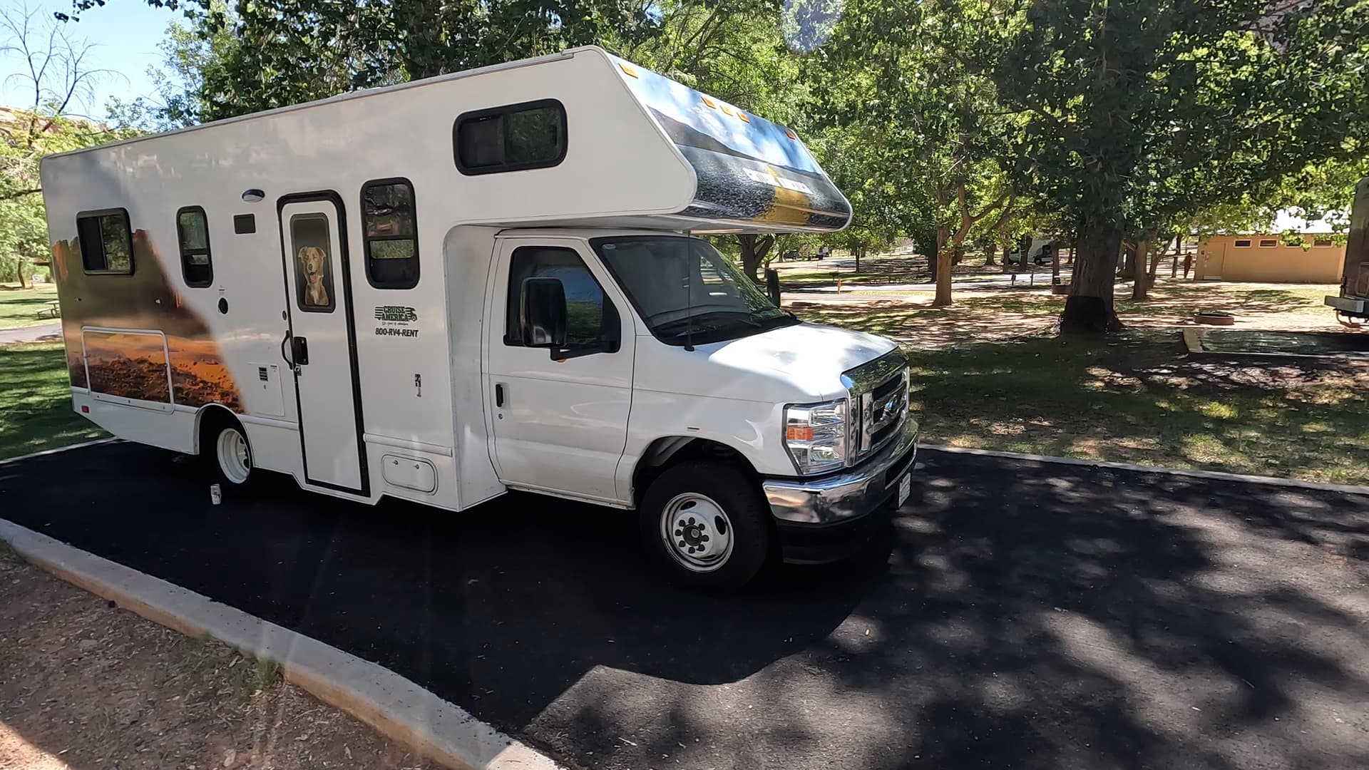
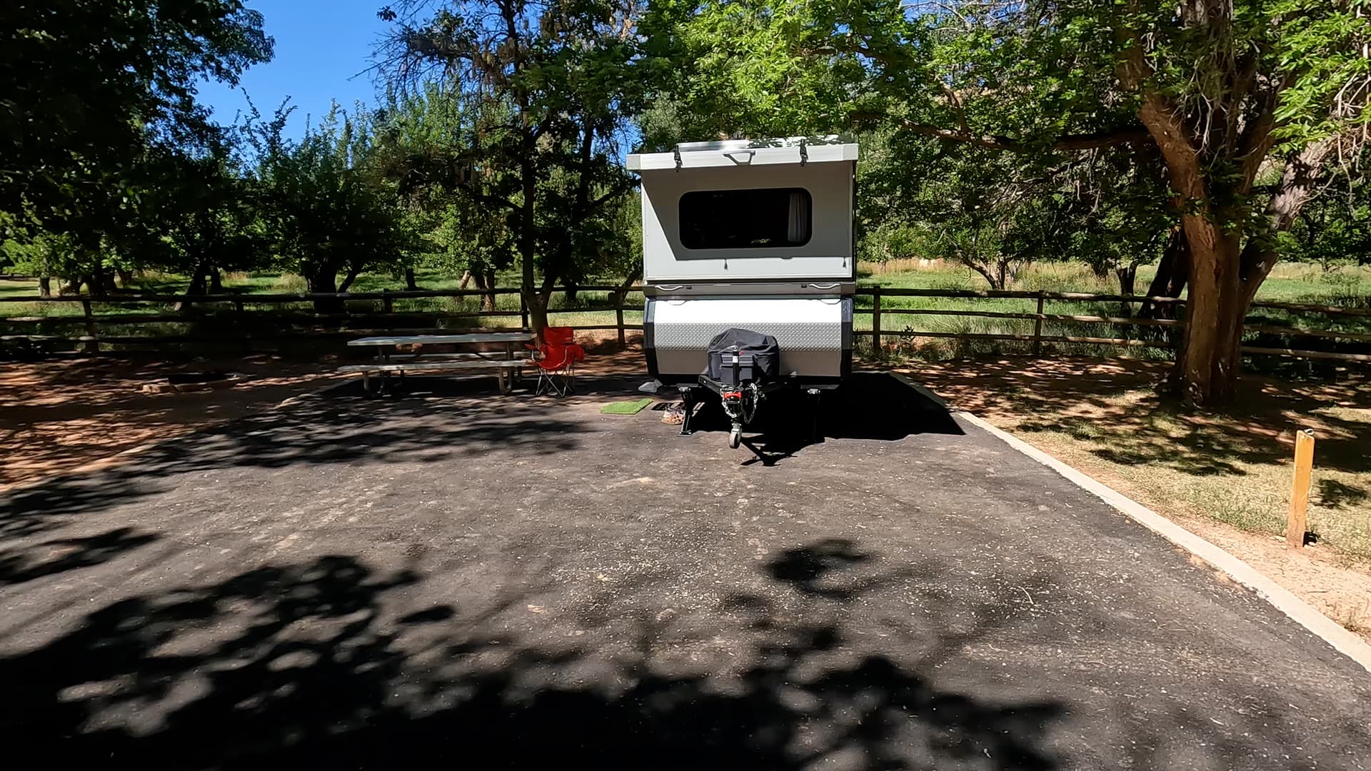
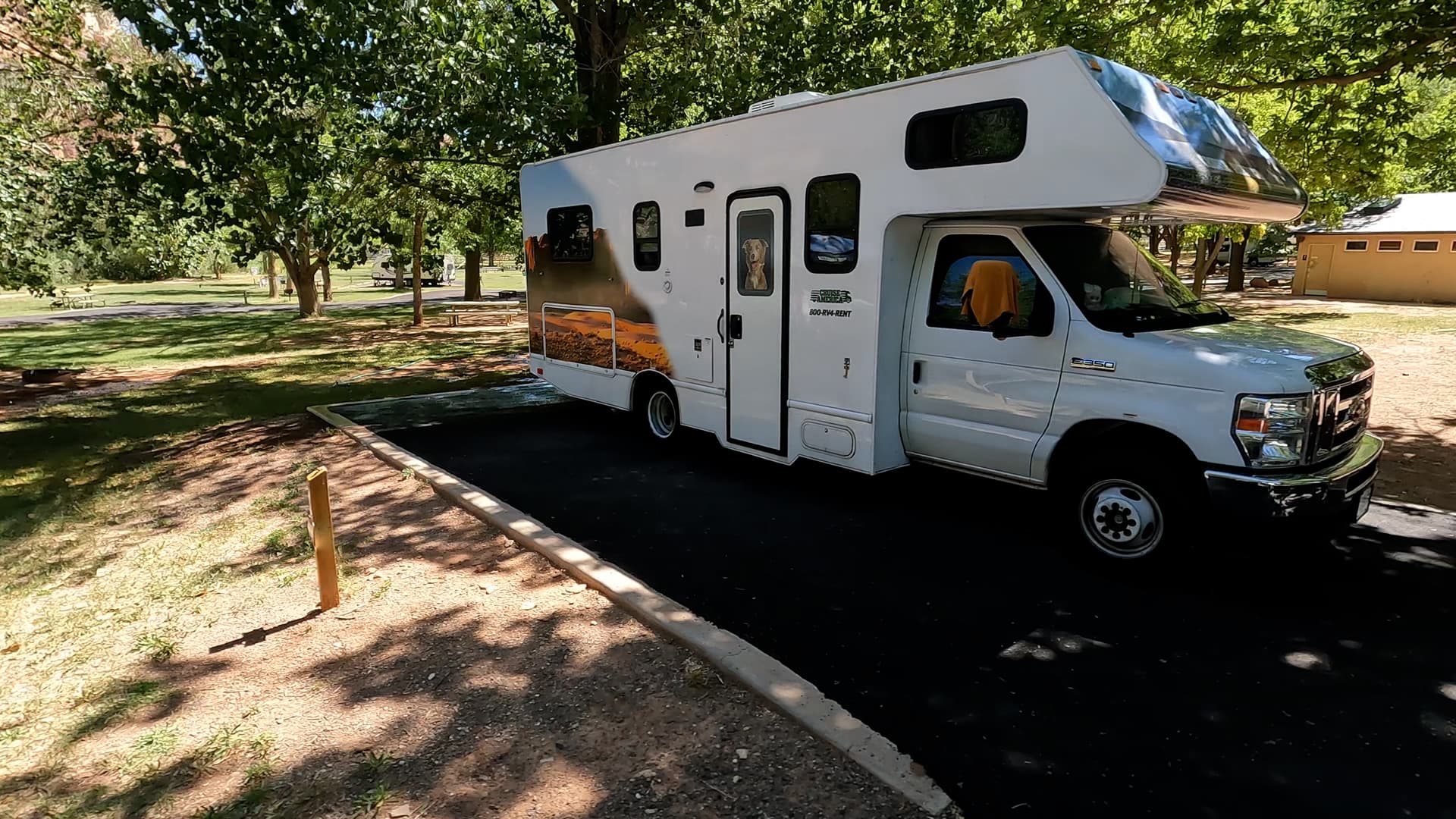
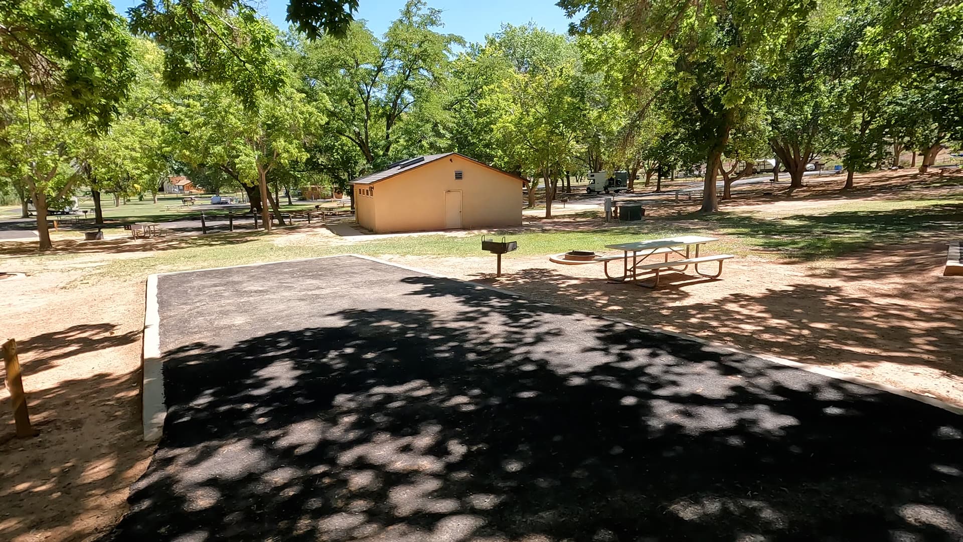
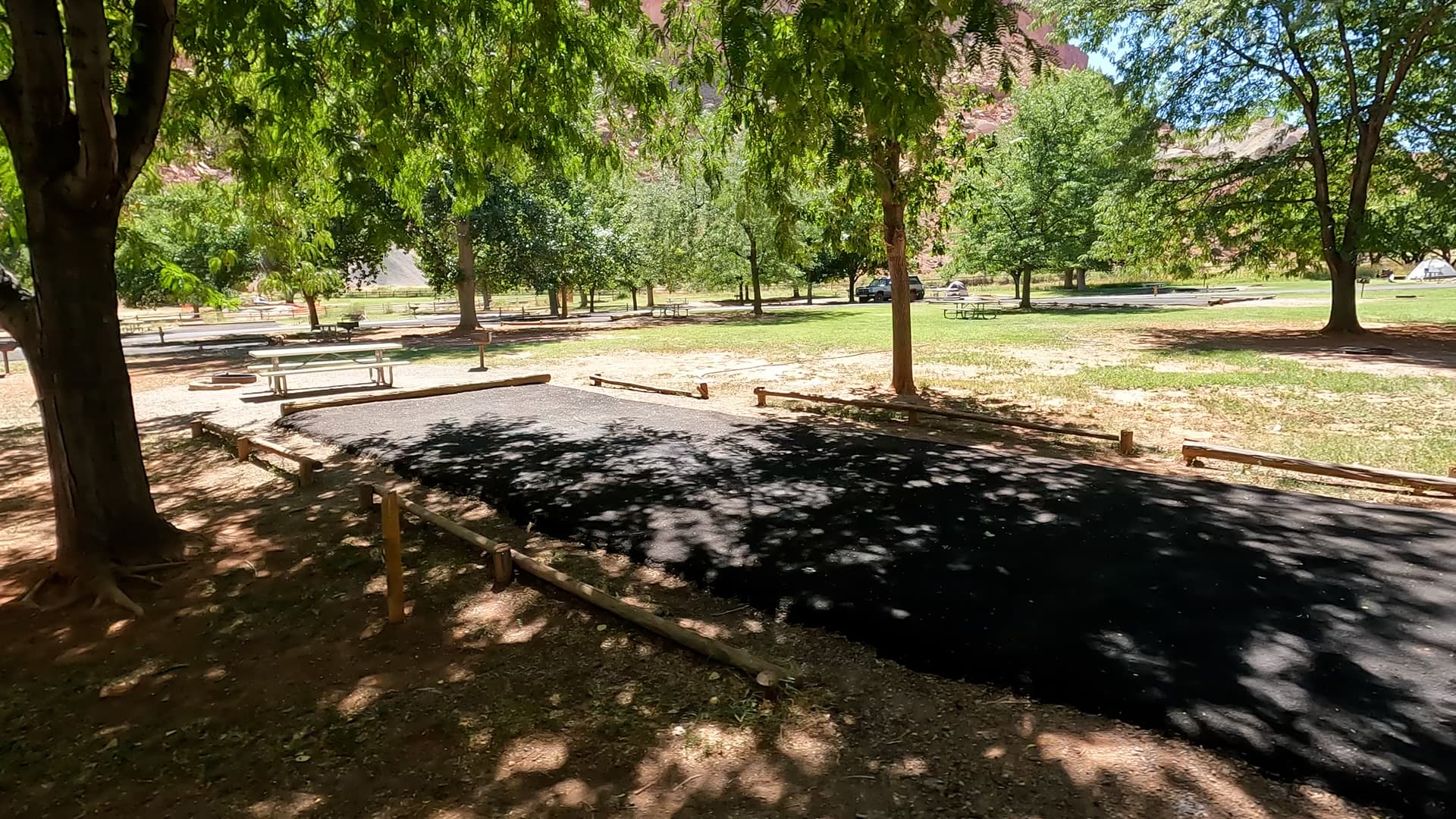
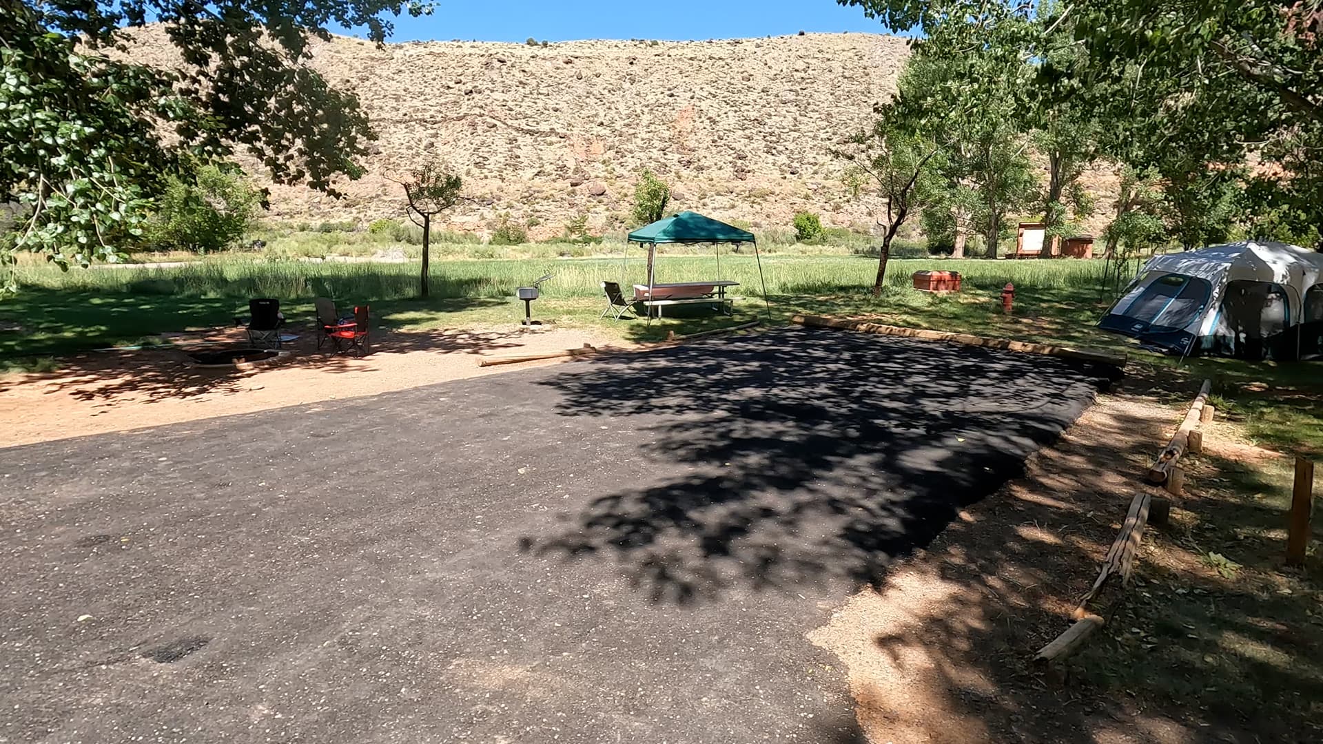
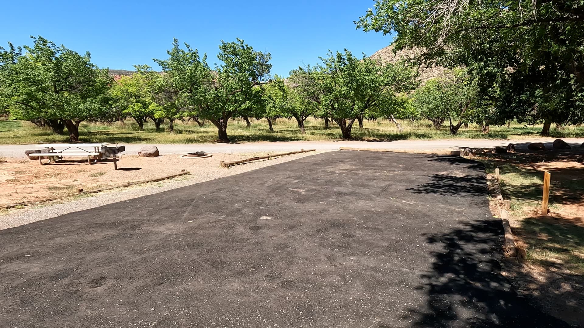
Fruita Campground has 71 individual sites spread across three loops, accommodating tents, trailers, and RVs. Many sites are shaded by large cottonwood trees and bounded by grassy lawns, with views of orchards and red rock walls in nearly every direction. While a number of sites can host RVs and trailers, this is still a classic national park campground with a quiet, scenic feel rather than a full-hookup RV resort. The campground is open year-round, and reservations are required during the busy season because of high demand and limited capacity.

Amenities

Each campsite includes a picnic table and fire ring or grill. Restrooms with running water and flush toilets are located within the loops, and a dump station with potable water fill is available near the entrance to the campground. There are no individual water, sewer, or standard electrical hookups at the campsites, preserving a more traditional camping feel, though a few accessible sites have limited electric service for medical-device use only. There are no showers in the campground, so visitors should plan accordingly. Overall, facilities are simple but well maintained, providing comfort without overshadowing the natural setting.

Activities & Nearby Trails

Staying at Fruita Campground puts you right in the heart of Capitol Reef’s main hiking and sightseeing area. From camp you can walk to trails like Cohab Canyon, Fremont Gorge Overlook, and Hickman Bridge, or drive a short distance down the Scenic Drive to reach Capitol Gorge and Grand Wash. The historic orchards surrounding the campground are open seasonally for fruit picking, offering a unique “pick your own” experience when crops are in season. Photography, birdwatching, and night-sky viewing are excellent here, with the contrast between green orchards and red cliffs providing standout images at sunrise and sunset.

Beyond the immediate Fruita area, visitors can explore longer scenic drives along the park road, Notom–Bullfrog Road, or the Cathedral Valley region, returning to the shade and comfort of the campground at the end of the day. The combination of easy access, lush setting, and central location makes Fruita a perfect basecamp for multi-day exploration of Capitol Reef.

Summary

Fruita Campground offers one of the most distinctive national park camping experiences in Utah—an irrigated, tree-lined oasis tucked beneath dramatic red rock cliffs. With 71 sites, basic but solid amenities, and walking access to orchards, trails, and the visitor center, it delivers both comfort and character. If you’re looking for a scenic, centrally located campground for exploring Capitol Reef National Park, Fruita is an outstanding choice and one of the most memorable places you can camp in the region.

Nearby Campgrounds