Point Supreme
Date filmed:2024-07-27
Number of sites:25
GPS:37.611523, -112.831561
Max vehicle length:40 Feet
Check in:2:00 pm
Check out:11:00 am
Quiet hours:10:00 pm - 6:00 am

Amenities and Activities

Amenities
Drinking Water
Fire Ring
Picnic Table
RVs
Tents
Accessible Sites
Showers
Flushing Toilets
Utility Sink
Fire Wood
Trash Collection
Tent Pads
Shade
Activities
Hiking
Biking
Star Gazing
Scenic Overlooks
Picnicking
Photography

Things to Do

Epic Views from 10,000 Feet

Exploring Cedar Breaks National Monument

Featured: Cedar Canyon, Deer Haven, Duck Creek, Navajo Lake, Panguitch Lake North, Panguitch Lake South, Point Supreme, Spruces, Te-Ah, White Bridge

Cedar Breaks National Monument's vibrant cliffs and hoodoos, carved by erosion, form a breathtaking amphitheater. Overlooks like Point Supreme offer panoramic views of its colorful beauty, framed by subalpine forests and dramatic sunsets. Cedar Breaks National Monument is a stunning natural amphitheater located in southern Utah, perched at over 10,000 feet above sea level. Its vibrant, multicolored cliffs showcase layers of limestone, shale, and sandstone eroded by wind and water over millions of years, creating a breathtaking landscape of spires, fins, and hoodoos. The amphitheater, about three miles wide and over 2,000 feet deep, provides a visual spectacle reminiscent of Bryce Canyon, but with its own unique high-altitude charm. The area is known for its subalpine forest, offering a cool retreat in the summer and vibrant wildflower meadows, with delicate blooms that peak in mid-July. Several overlooks around Cedar Breaks offer spectacular views into the amphitheater and beyond. Point Supreme, the highest overlook at over 10,350 feet, provides a panoramic view of the colorful cliffs and valleys below. Sunset View Overlook is aptly named for its dazzling sunsets that illuminate the red and orange hues of the canyon walls. Chessman Ridge Overlook offers a striking view of Cedar Breaks' natural amphitheater, framed by dark green Engelmann spruce and subalpine firs. From any of these overlooks, visitors can appreciate the grandeur of the landscape, which shifts dramatically with changes in light and weather.

Checking out Spectra Point Overlook

A Hiking Adventure in Cedar Breaks

Featured: Cedar Canyon, Deer Haven, Duck Creek, Navajo Lake, Panguitch Lake North, Point Supreme, Spruces, Te-Ah, White Bridge

With meadows, bristlecone pine trees, and a half-mile-deep amphitheater of striped limestone, Cedar Breaks National Monument is a high-elevation Bryce Canyon look-alike. Comprised of the same geological layer but with a fraction of the crowds, this is a must-see park. Located northeast of Zion National Park and due east of Bryan Canyon National Park sits Cedar Breaks National Monument, a park with astonishing beauty of its own and a fraction of the crowds found at Utah’s larger and more well-known national parks. Taking in the views here couldn’t be easier. With plentiful parking and a short distance uphill, one can witness the splendor of the park. From here, the South Rim Trail is a 5-mile out and back trail with various stops along the way including Spectra Point Viewpoint and Ramparts Viewpoint. Spectra Point. These overlooks provide plenty of photographic opportunities down into the half-mile deep and three-mile wide amphitheater. Hiking to Spectra Point Viewpoint is a moderately rated 2-mile round trip hike whereas the hike to Ramparts Viewpoint and back is 4 miles. Also along the way is a historical stop not to be missed. This small unassuming wooden cabin once served as a generator room that supplied power to what was once the Cedar Breaks Lodge. The lodge was built in 1924 and served dinner for tourists making rounds via bus to many of the area parks such as Zion National Park, Bryce Canyon National Park, and the Grand Canyon National Park’s North Rim. The cabin is all that remains from the lodge today. In addition to hiking trails, the park is well known for a meadow filled with wildflowers in the spring, fall color in autumn, and snowmobiling and snowshoeing in the winter. While the park is opened year-round, some roads into the park and within around the rim are closed to visitors.

Take a scenic ride from Panguitch, Utah to Kodachrome Basin State Park, stopping at Red Canyon, showcasing vibrant red rock landscapes and Mossy Cave, with its Bryce Canyon-like formations and beautiful waterfall. Embark on a relaxed drive from Panguitch, Utah, to Kodachrome Basin State Park, a route filled with striking landscapes and fascinating stops. As you head out from the charming town of Panguitch, your first stop could be the Red Canyon Visitor Center. Nestled along Highway 12, this area offers vibrant red rock formations that preview the dramatic scenery of Southern Utah. Stroll through its easy trails or simply admire the towering hoodoos and cliffs that glow in the sunlight. Continuing your journey, stop by Mossy Cave, a hidden gem that feels like a piece of Bryce Canyon. Here, you’ll find a unique blend of towering red rock spires, a small cave, and a scenic waterfall. Though not lush like its name suggests, the area provides an opportunity for a short, rewarding hike with Bryce-like views and the refreshing sight and sound of flowing water in a desert landscape. The drive then winds through more of Utah's scenic beauty before you arrive at Kodachrome Basin State Park. Known for its colorful, layered rock formations, Kodachrome Basin feels like stepping into a natural painting. The park is perfect for hiking, photography, or simply soaking in the vibrant surroundings. Whether you're spending the day exploring or just passing through, this laid-back drive offers a taste of Southern Utah's natural wonders.

Hell's Backbone is a scenic route in Utah that winds through dramatic canyons and rugged landscapes. The road, known for its breathtaking views and challenging terrain, offers an unforgettable adventure for intrepid travelers. Hell's Backbone is a scenic byway in southern Utah that offers a thrilling journey through some of the state's most rugged and remote landscapes. Stretching between the towns of Boulder and Escalante, this 38-mile route navigates the spine of a high plateau, providing breathtaking views of deep canyons, sheer cliffs, and dense forests. The road, originally constructed by the Civilian Conservation Corps in the 1930s, includes the famous Hell's Backbone Bridge, a narrow span that arches 1,500 feet above the canyon floor, offering panoramic vistas of the surrounding wilderness. Travelers on Hell's Backbone can expect a mix of gravel and dirt roads, often narrow and winding, making it a challenging drive best suited for high-clearance or four-wheel-drive vehicles. Along the way, several pullouts and viewpoints invite visitors to stop and take in the dramatic scenery, while numerous hiking trails beckon those looking to explore the backcountry. This remote and less-traveled route provides a sense of solitude and adventure, capturing the wild beauty and rugged spirit of Utah's backcountry.

Hidden Utah

Arches Trail at Losee Canyon

Featured: Cedar Canyon, Duck Creek, Point Supreme, Spruces, Sunset, White Bridge, Red Canyon

Utah has no shortage of red rocks and arches but with those comes a lot of crowds. Arches Trail in Red Canyon offers a lot of Bryce Canyon sights in a small area with plenty of space to call your own. The landscape around Bryce Canyon National Park in Southern Utah is a wonderland and playground for adventurers. While nearby Bryce Canyon is well known, the caveat to that is the crowds that go along with it. Parking can be hard to find if one doesn’t arrive early, trails can be congested and campsites can go quickly. What if you were told that there is an alternative not too far away from Bryce Canyon where you might have almost complete solitude? What if you were told that some of those well-known features of Utah Parks, hoodoos, arches, and vibrant red rock were available to you packed into a short loop trail that requires little effort? Arches Trail offers all that with some spectacular views. Arches Trail in Red Canyon is a 0.6-mile loop trail that wanders around brilliant red rock with sights of several small arches and hoodoos. The well-maintained trail does have an elevation of about 187 feet, however, the trail is rated as easy, and most should be able to navigate it with good hiking shoes and some care in a few areas. The views are incredible and the shortness of the trail makes this trip an easy day trip or side adventure to pack into a day traveling to or from Bryce Canyon. To reach the Arches Trail, turn north off of UT-12 onto Casto Canyon Road. While this road is dirt and gravel, any two-wheel-drive vehicle should be able to make this drive with no problems provides that it hasn’t been raining. A parking lot for this trail, as well as others, will be on the right after two miles. From the parking lot, one merely needs to cross a dry wash and follow the signs for Arches Trail.

Campground Overview

Point Supreme Campground – Cedar Breaks National Monument, Utah

Point Supreme Campground is a scenic high-elevation camping destination located near the rim of Cedar Breaks National Monument in southern Utah. 
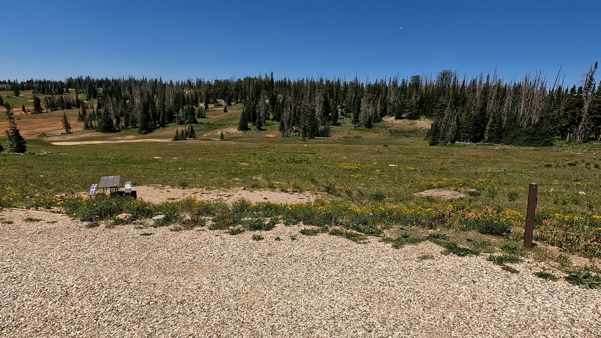
Perched at roughly 10,000 feet, this small campground offers cool summer temperatures, sweeping alpine views, and immediate access to the colorful amphitheater that defines Cedar Breaks. With wildflower meadows, bristlecone pines, and dark-sky stargazing, Point Supreme delivers a peaceful mountain experience that stands apart from the desert landscapes found elsewhere in the region.

Location & Access

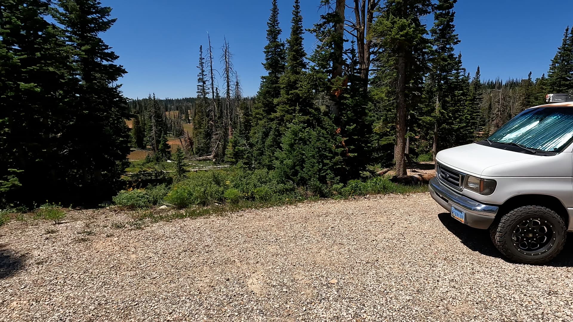
The campground is located just inside Cedar Breaks National Monument along Highway 148, approximately four miles south of Brian Head and about 20 miles from the town of Parowan. Visitors travel through high alpine forest and meadows on a paved road that climbs steadily to the plateau. Thanks to its elevation, this area remains pleasantly cool even during Utah’s hottest months and is often among the first places in southern Utah to show signs of fall color. The campground sits close to the Point Supreme Overlook and the Cedar Breaks Visitor Center, making it extremely convenient for sightseeing and trail access.

Campground Overview

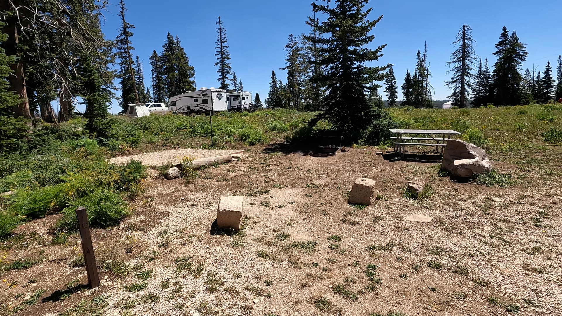
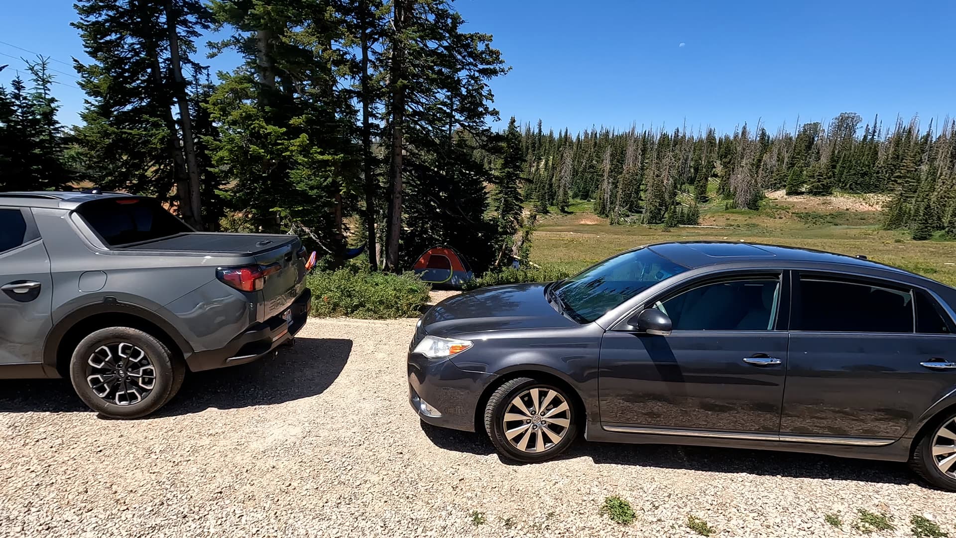
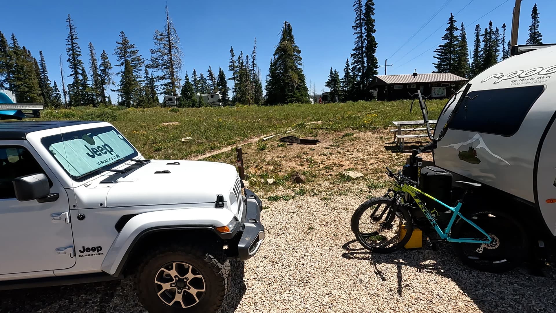
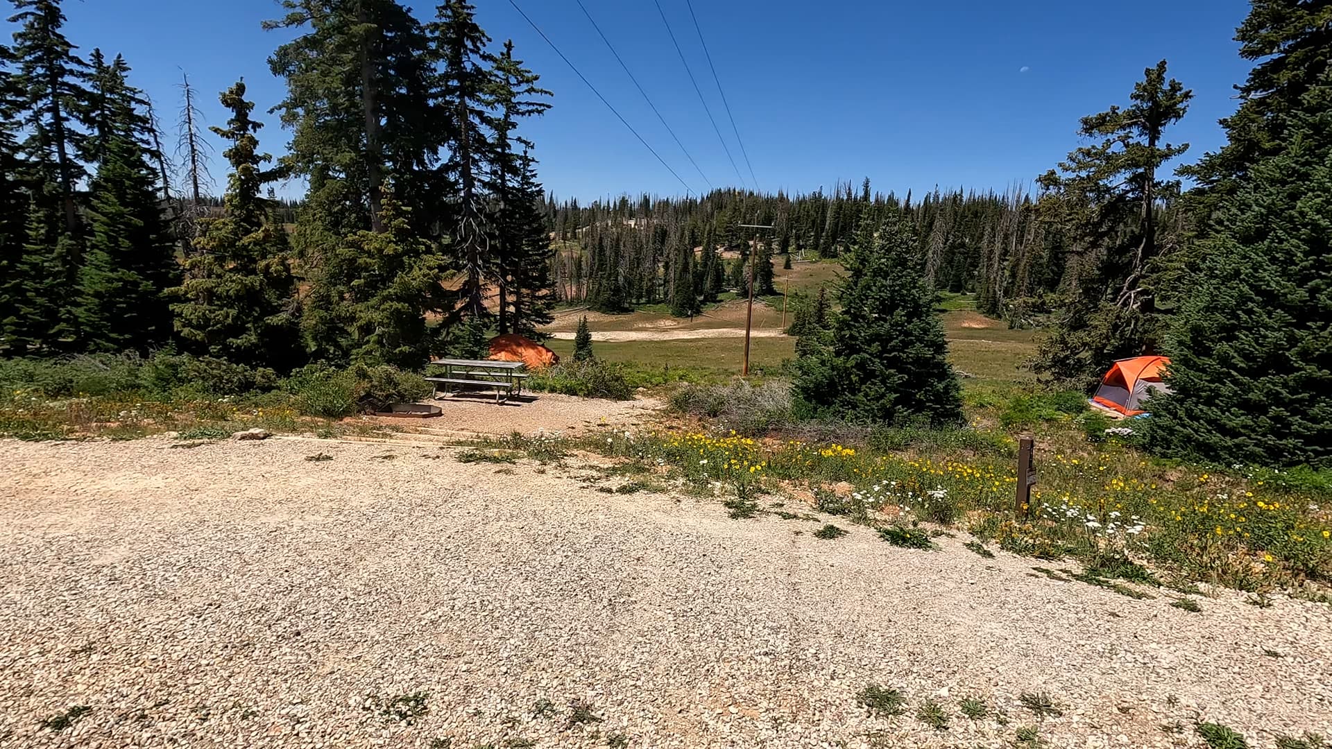
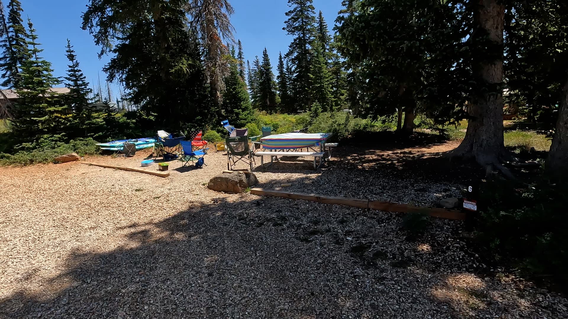
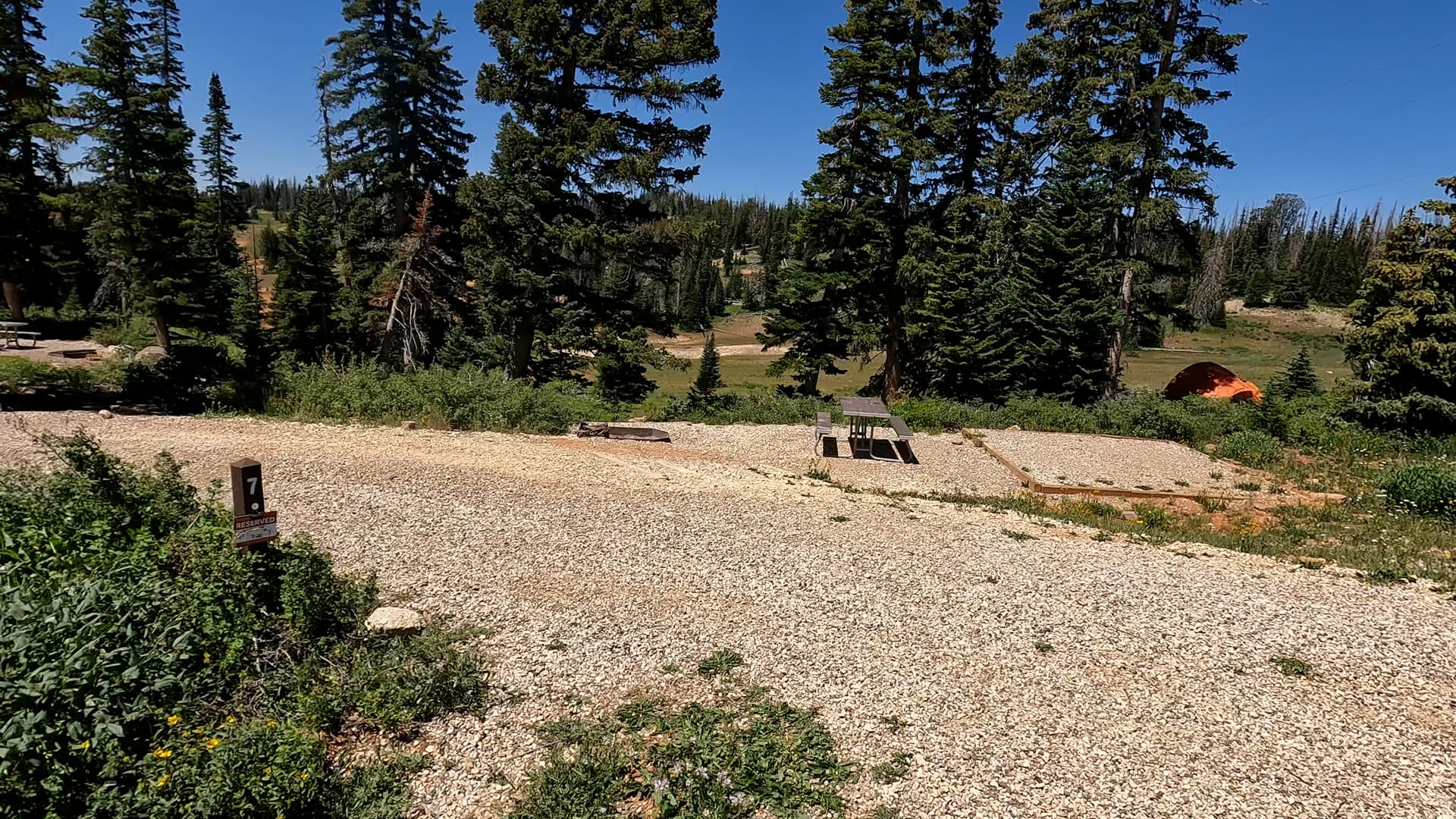
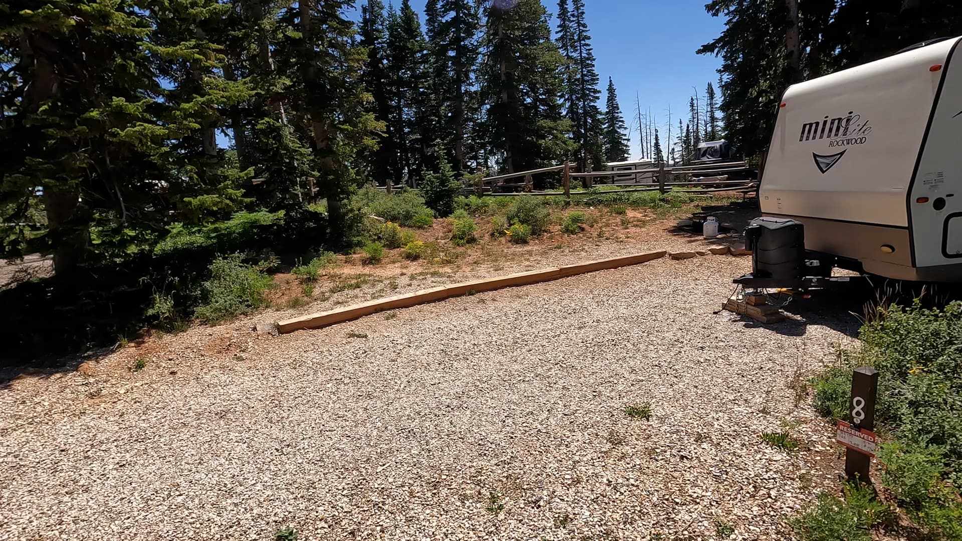
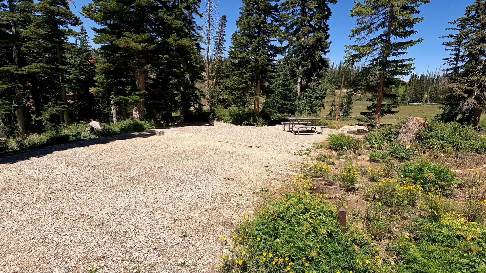
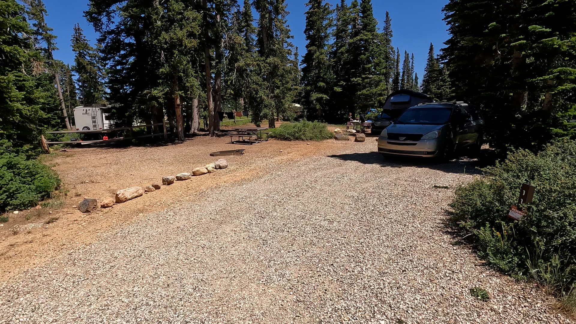
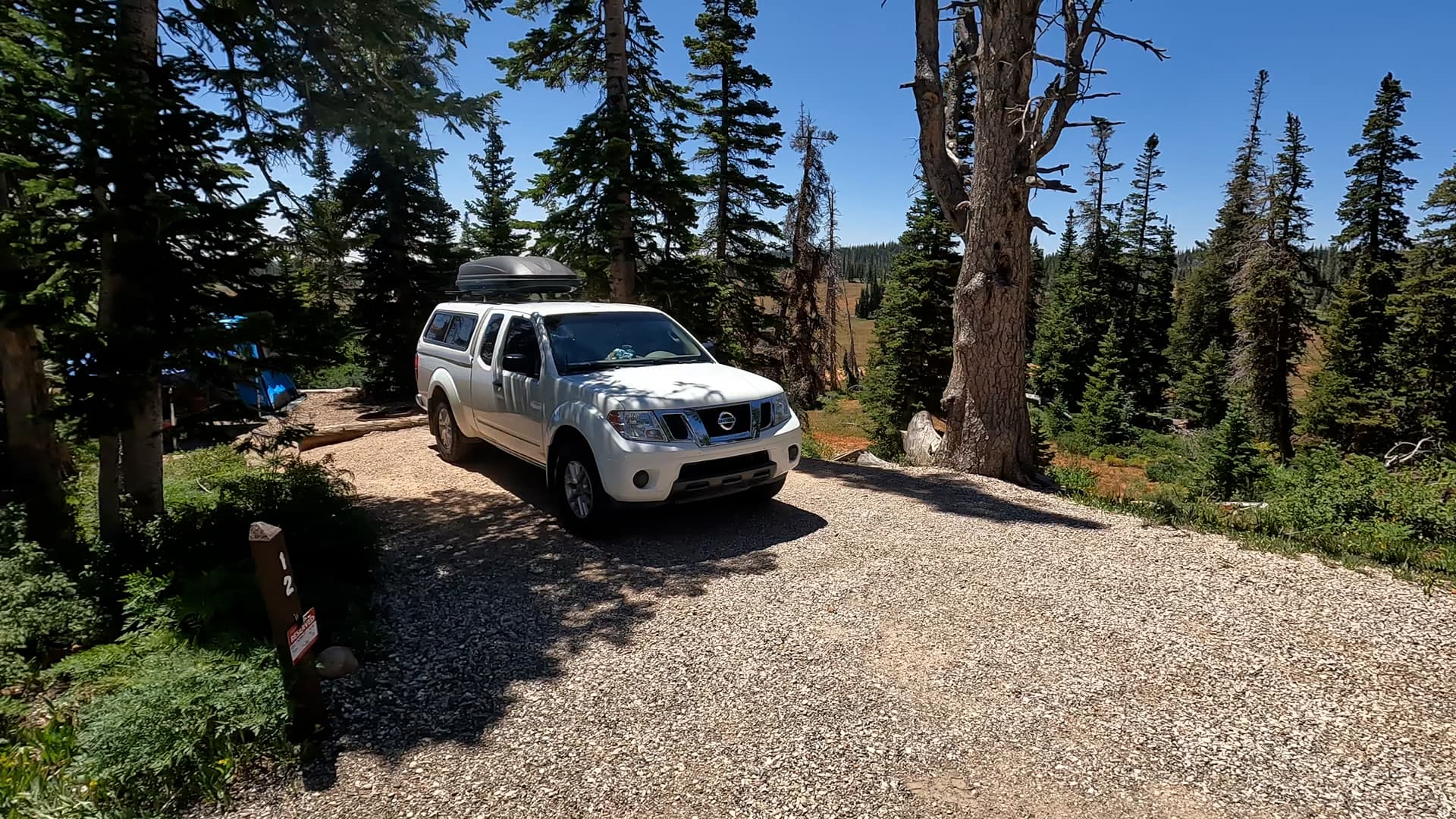
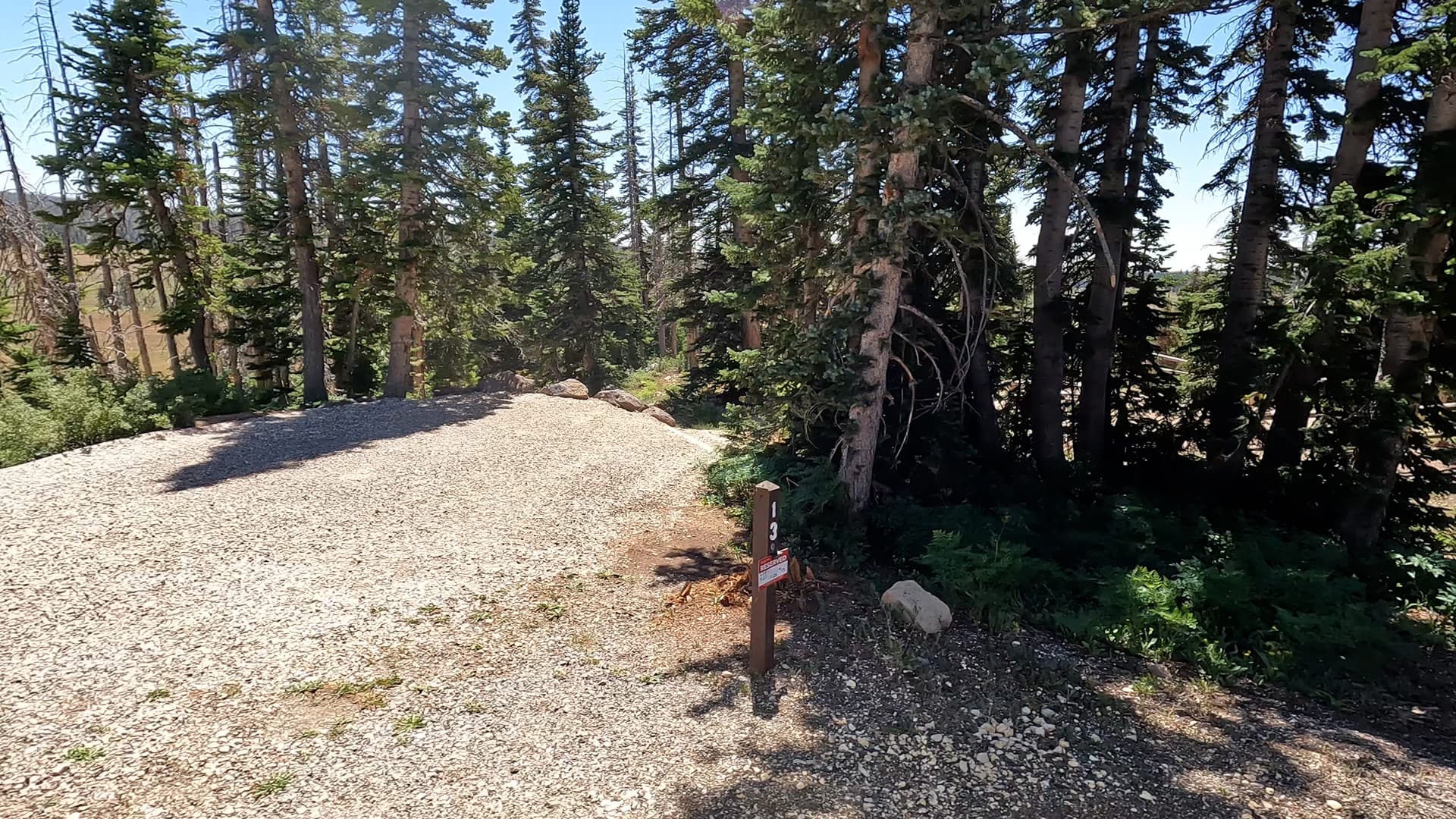
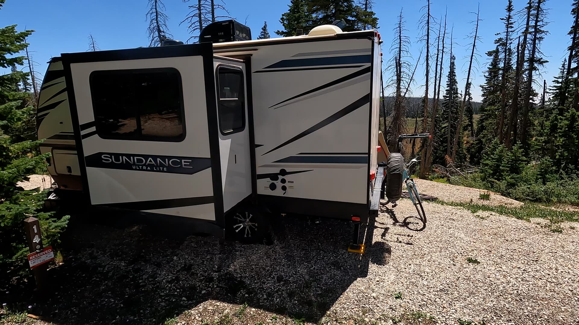
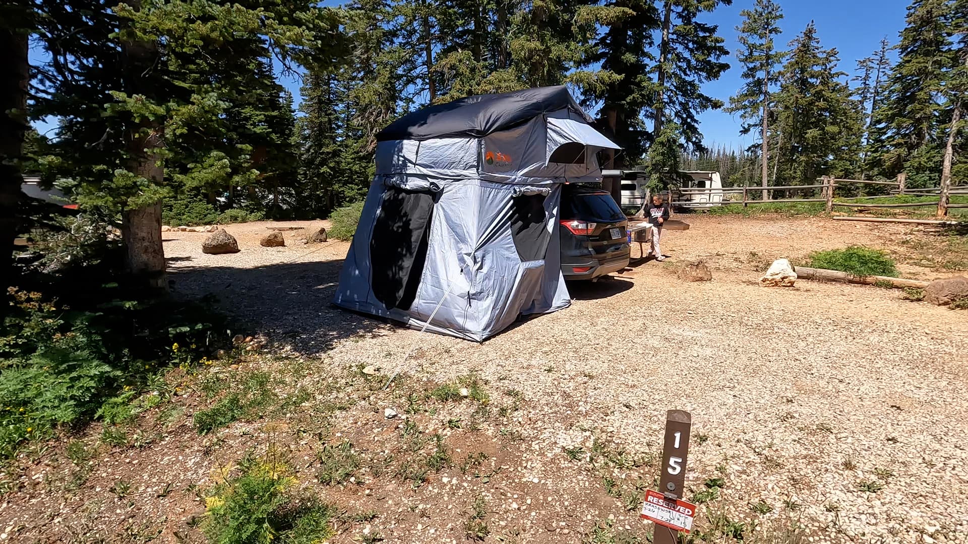
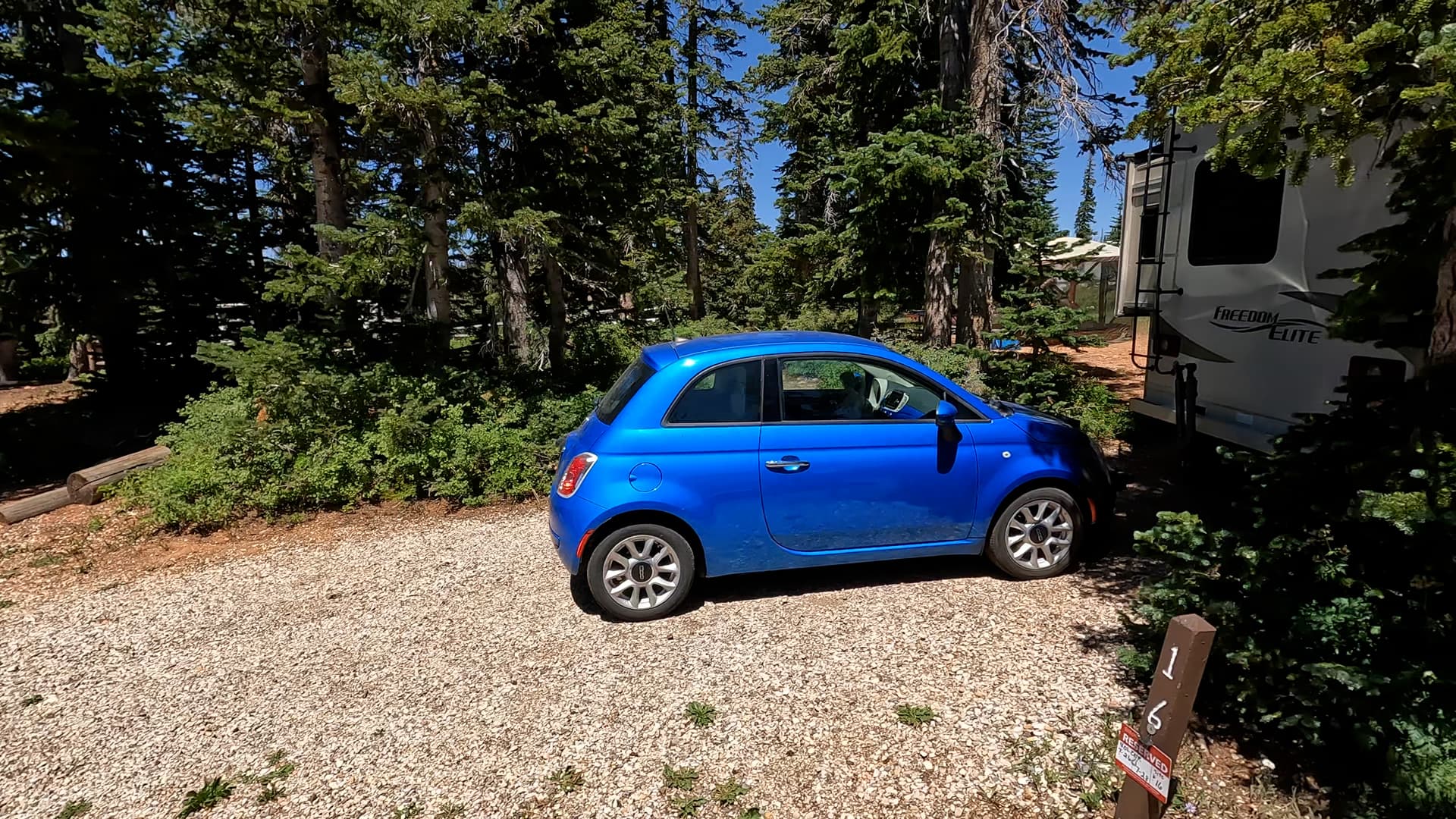
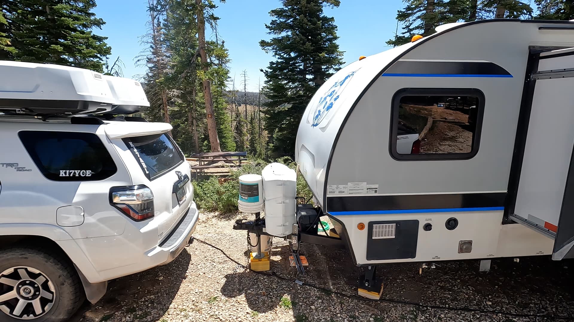
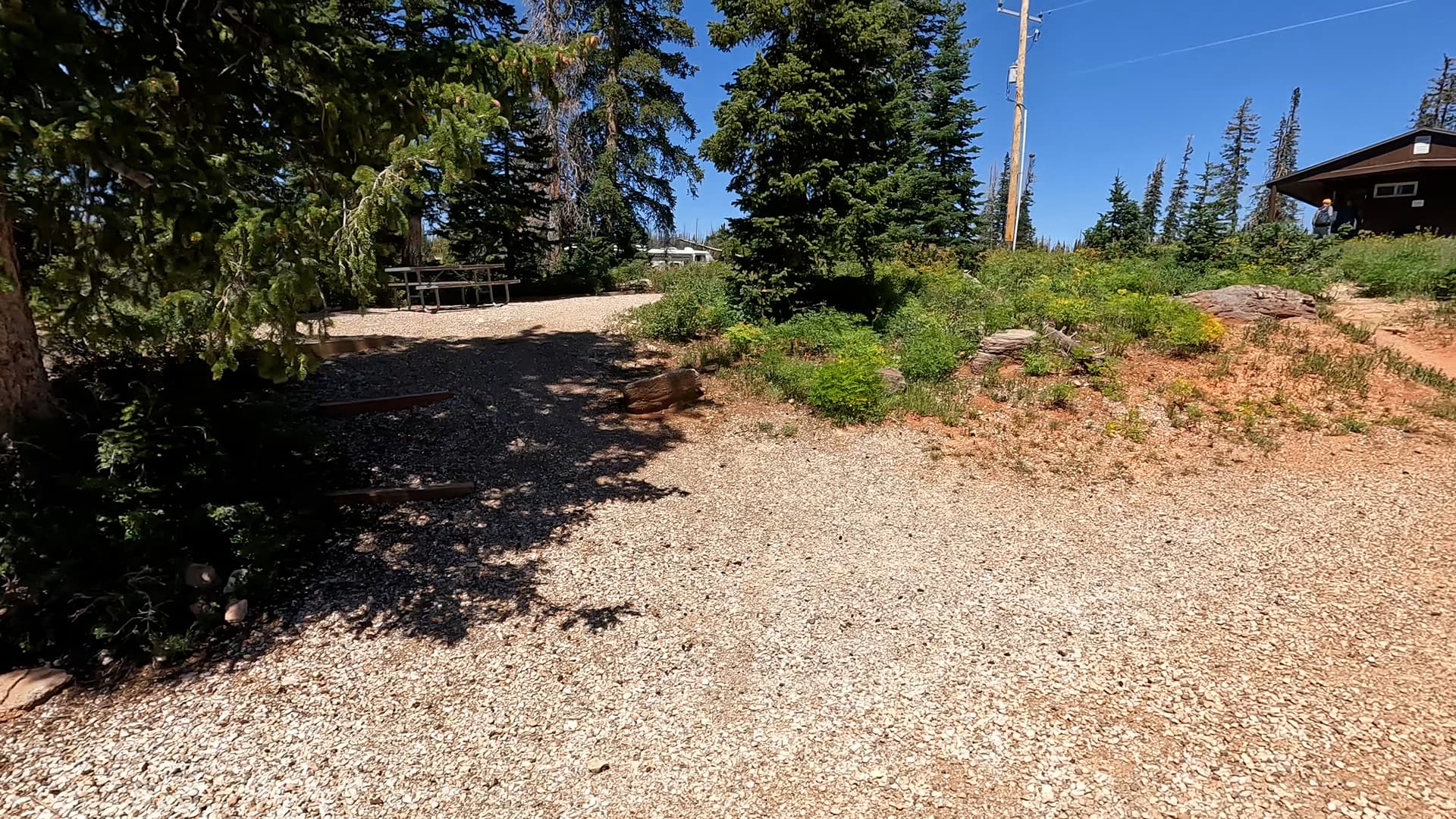
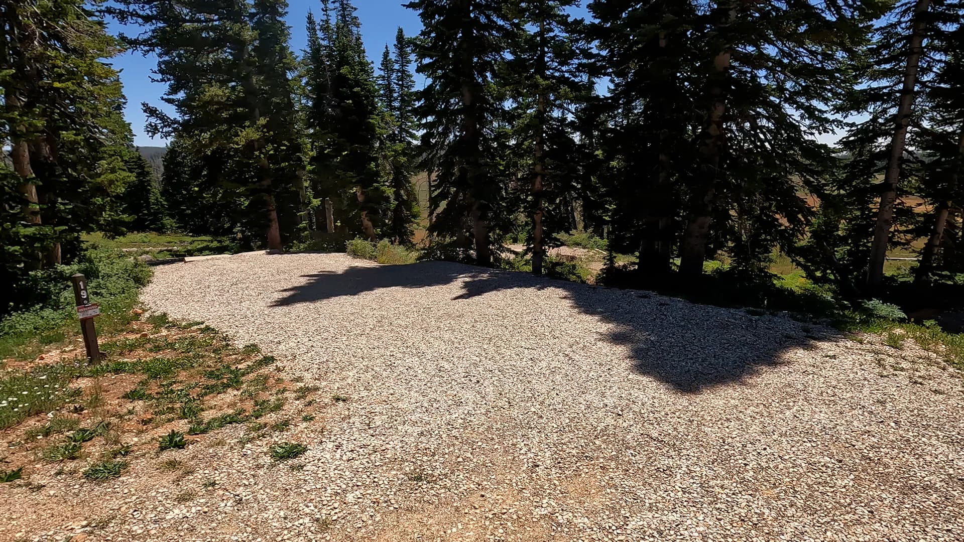
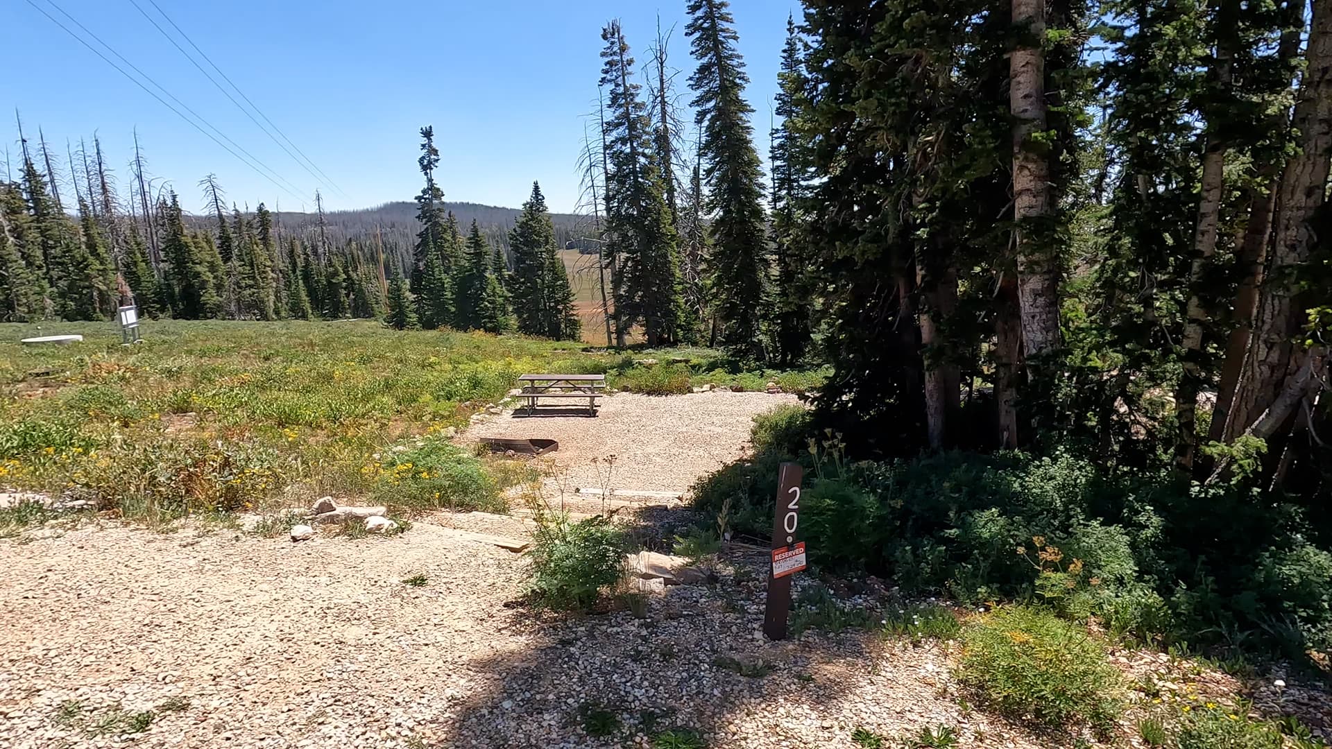
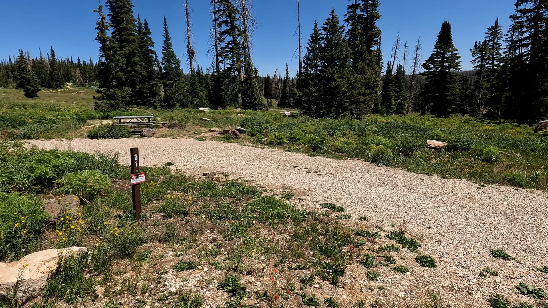
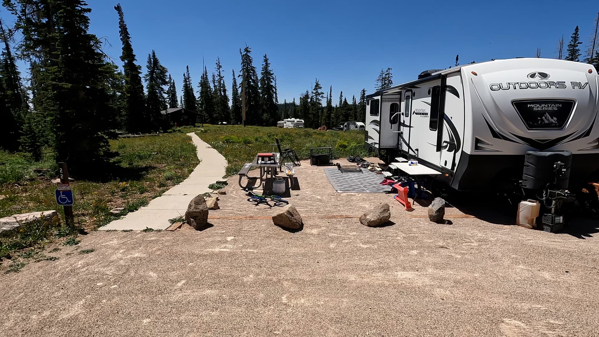
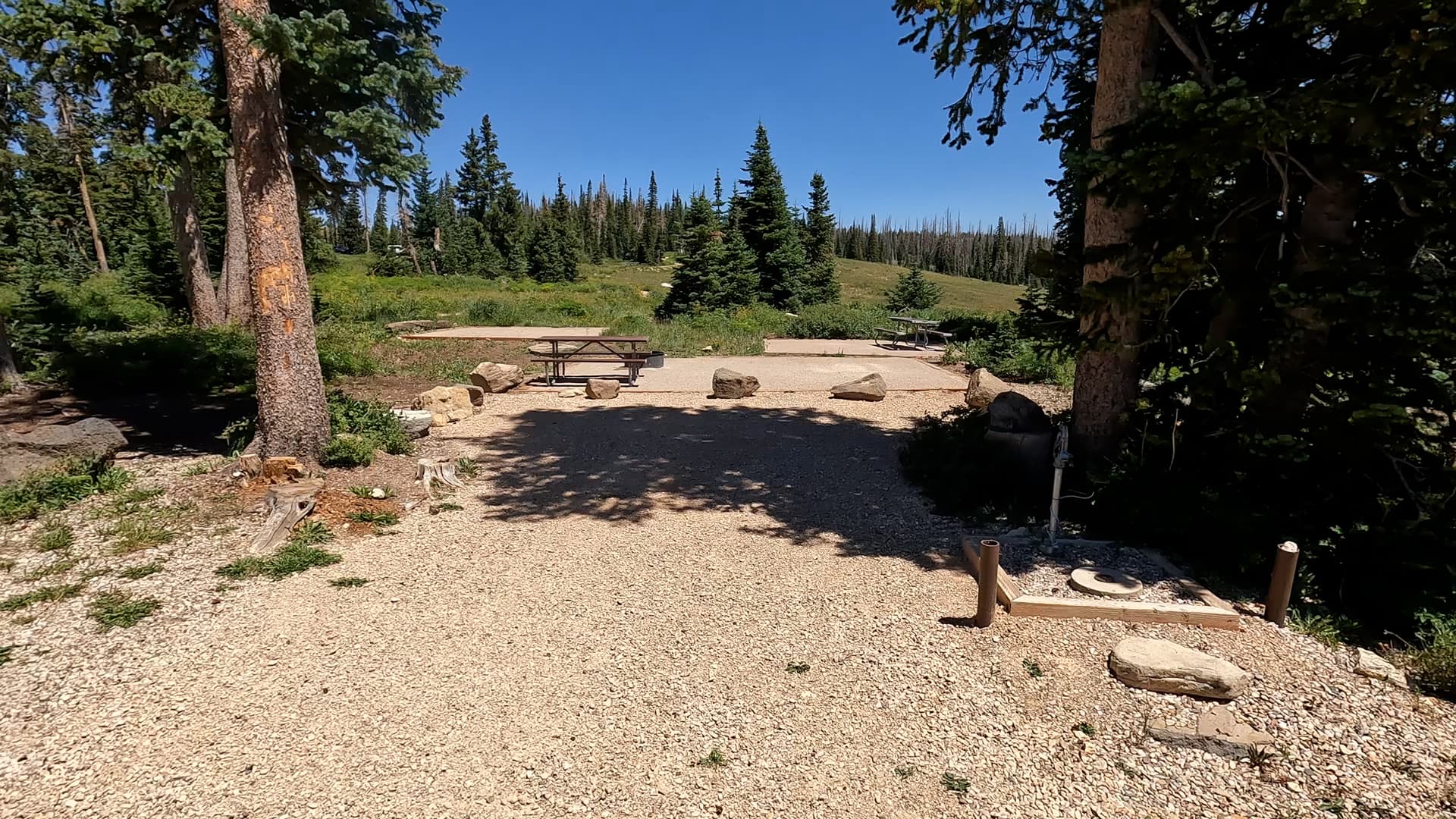
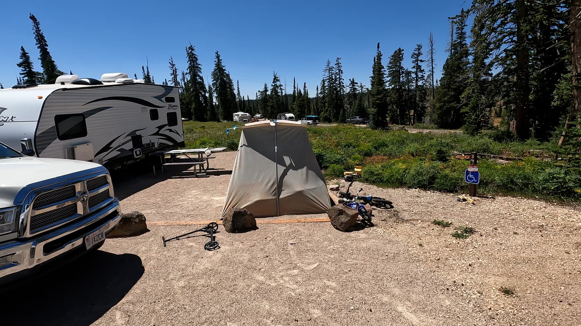
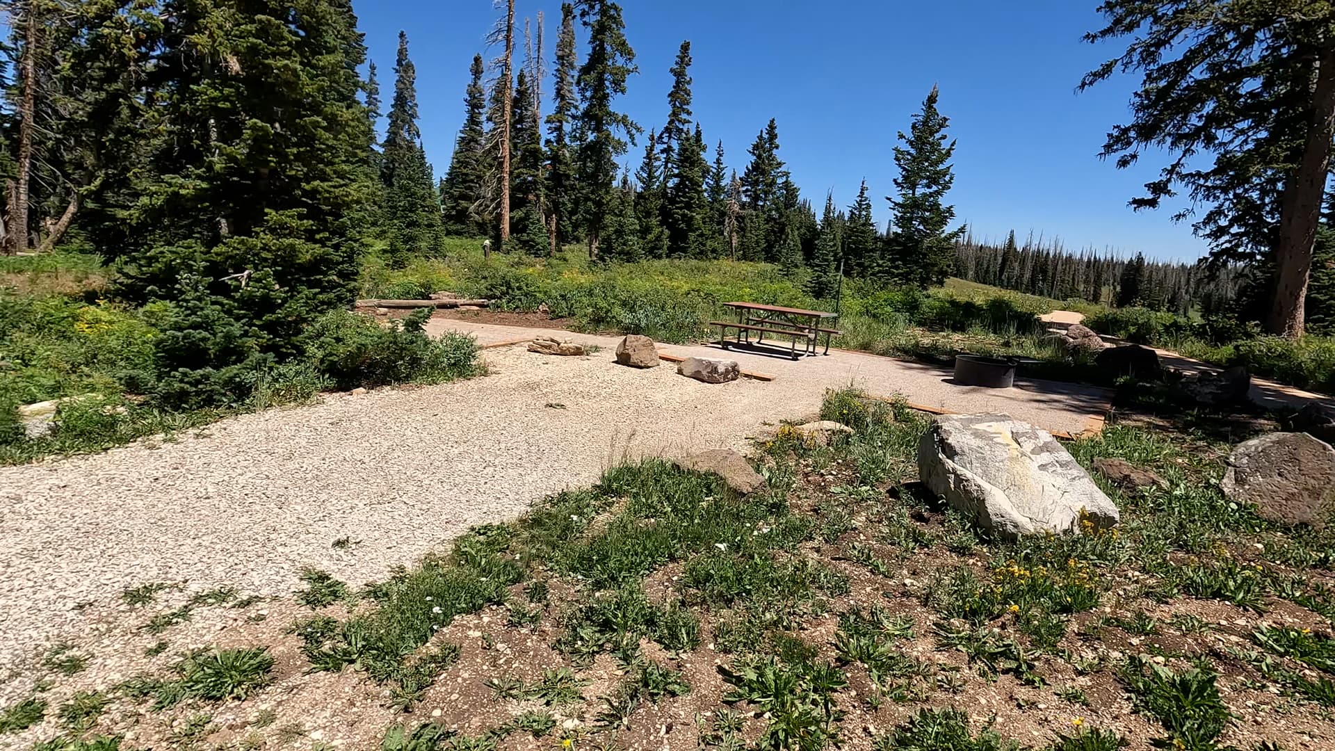
Point Supreme is a small and intimate campground with around 25 sites, primarily suited for tent camping and small RVs or trailers. Because of tight turns and limited parking space, longer rigs may find the layout challenging. Campsites are arranged beneath tall spruce and fir trees, with several offering views across the forested plateau. Nights can be cold even in midsummer due to the elevation, so visitors should be prepared for mountain weather, including chilly evenings and sudden storms.

Amenities

Amenities include picnic tables, fire rings, and paved parking pads at each site. Restrooms with flush toilets are available in the campground, and potable water is often provided during the summer season. There are no electrical hookups, showers, or dump stations, which helps preserve the quiet and rustic feel of this high-country setting. The campground sits within walking distance of the Visitor Center, which provides ranger information, interpretive displays, and access to the main overlook area.

Activities & Nearby Trails

Point Supreme Campground offers excellent access to Cedar Breaks’ signature viewpoints and hiking trails. The nearby Spectra Point and Ramparts Overlook Trail begins near the Visitor Center and follows the rim to outstanding views of the deep amphitheater and distant plateaus. Another popular trek is the Alpine Pond Trail, a forested loop that travels through wildflower meadows and showcases the monument’s high-elevation ecosystems. Stargazing is exceptional thanks to low light pollution, and Cedar Breaks is designated as an International Dark Sky Park.

Just outside the monument, visitors can explore Brian Head, Dixie National Forest, and numerous scenic drives and mountain lakes scattered across the Markagunt Plateau. Whether you’re hiking, photographing the colorful cliffs, or simply escaping summer heat, Point Supreme’s location offers easy access to the region’s best high-country recreation.

Summary

Point Supreme Campground is a top choice for those wanting a peaceful, high-elevation retreat inside Cedar Breaks National Monument. With its cool summer temperatures, beautiful forested sites, proximity to major overlooks, and access to scenic trails like Spectra Point and Alpine Pond, this campground provides a memorable alpine escape in southern Utah. Whether you ’re visiting for hiking, photography, or simply mountain relaxation, Point Supreme offers an ideal base for exploring one of Utah’s most dramatic and colorful landscapes.

Nearby Campgrounds