
Exploring Yosemite Valley
Yosemite from Above and Below
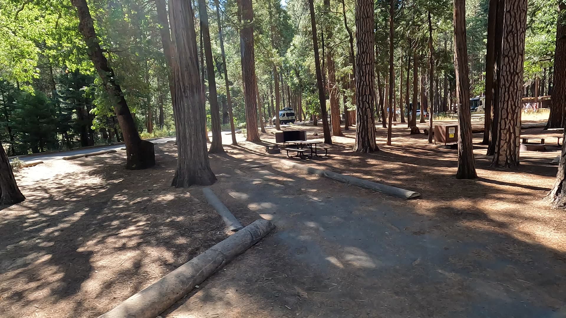
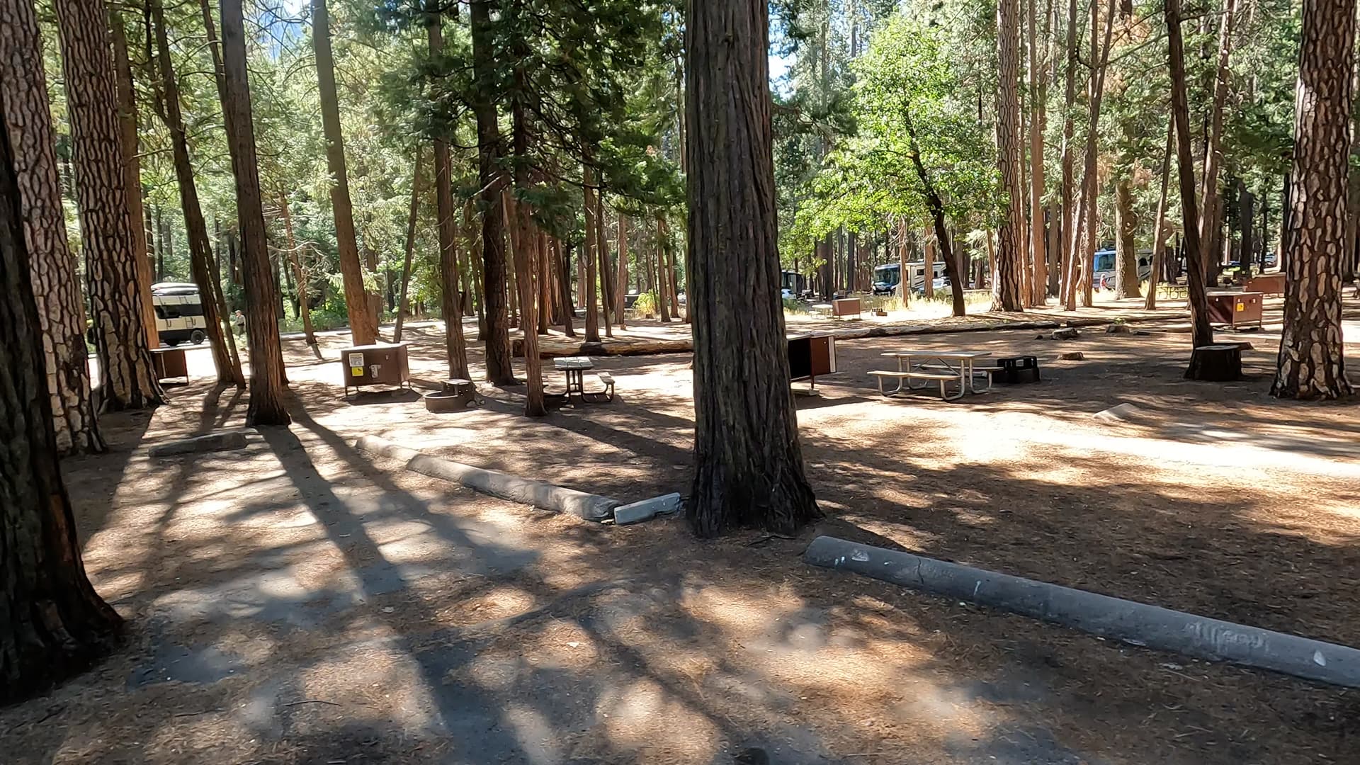
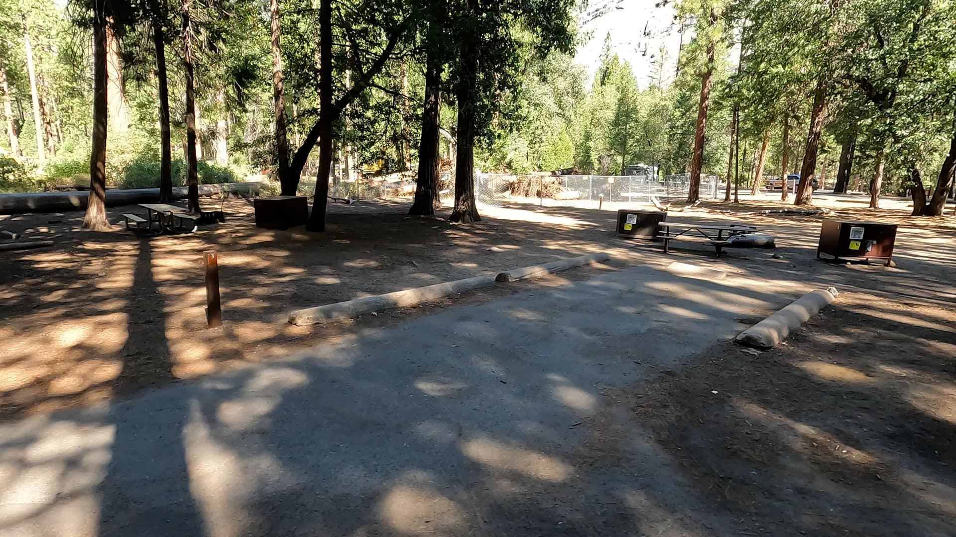
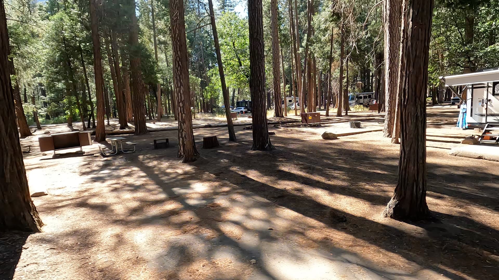
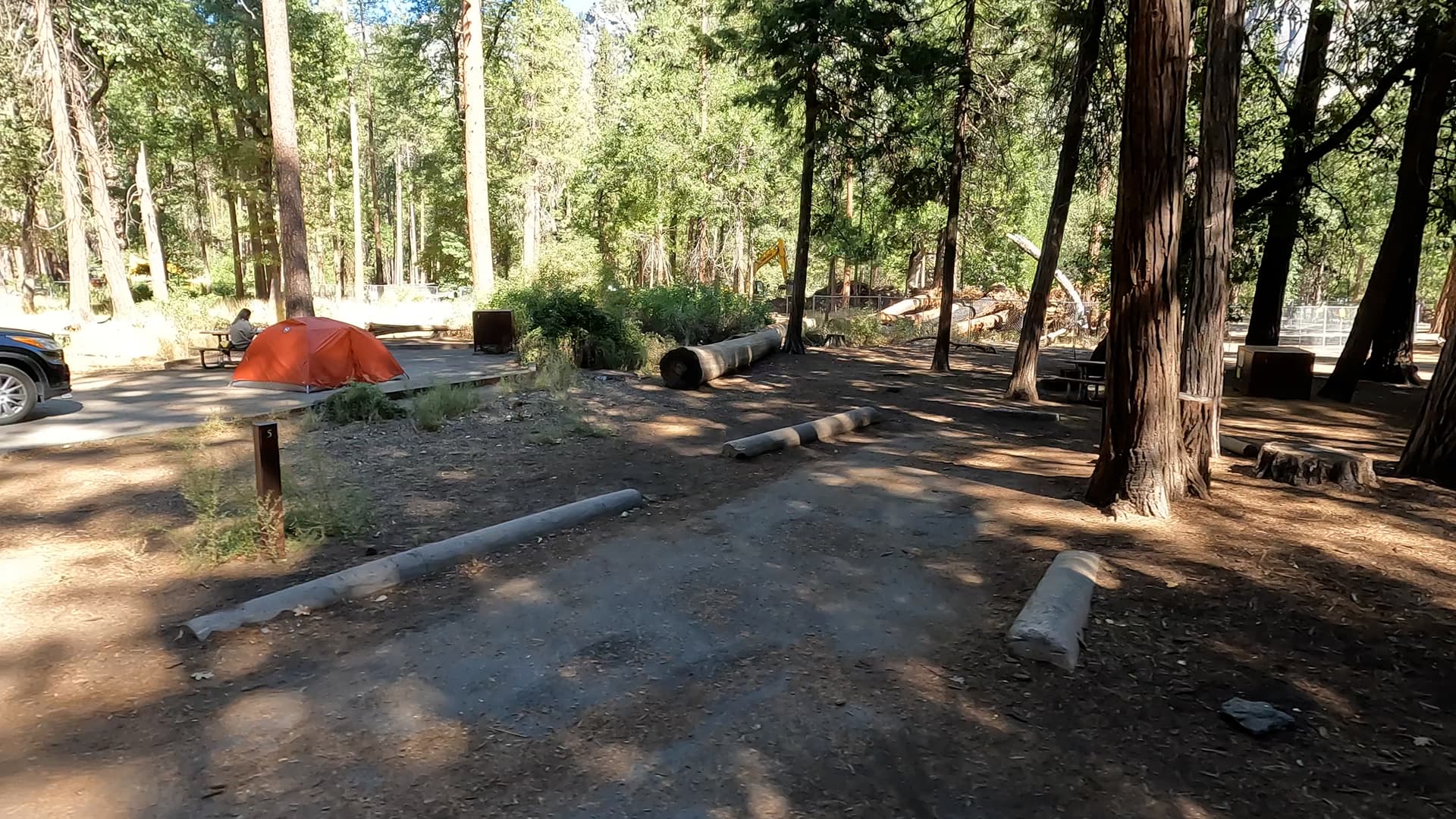
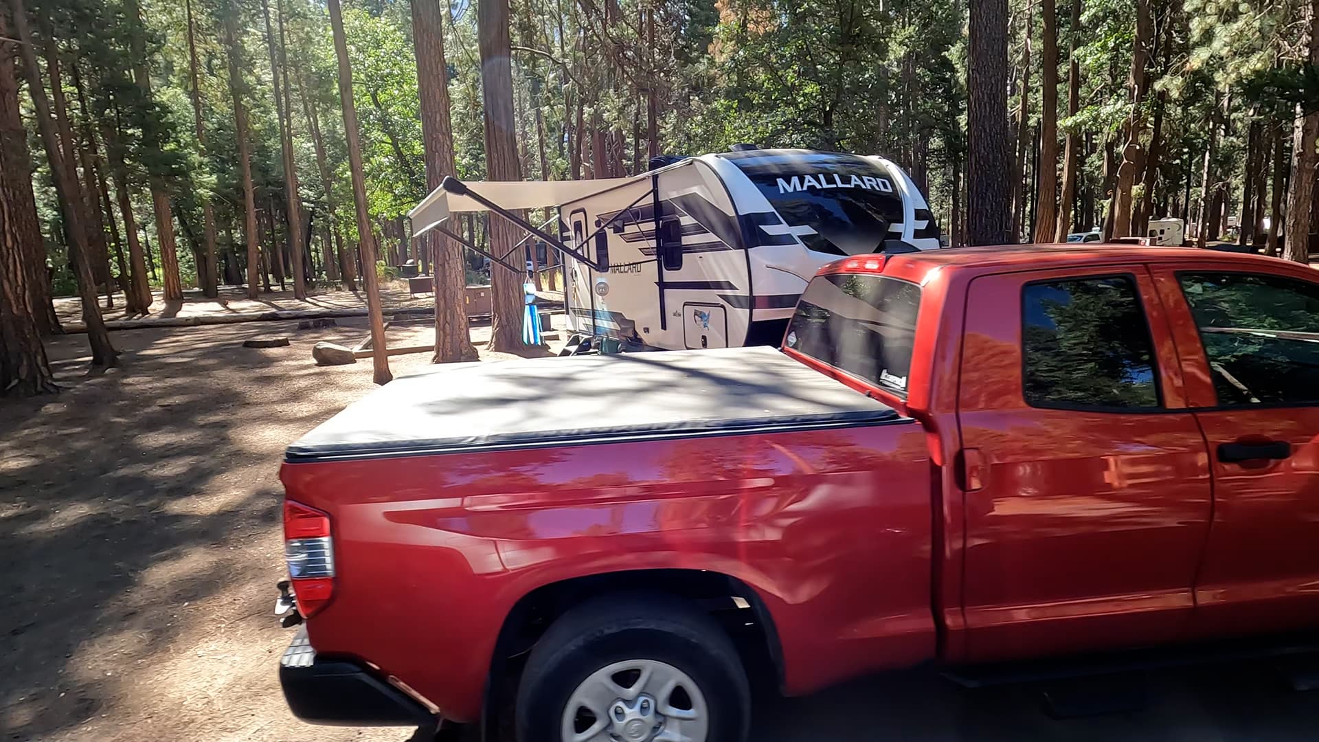
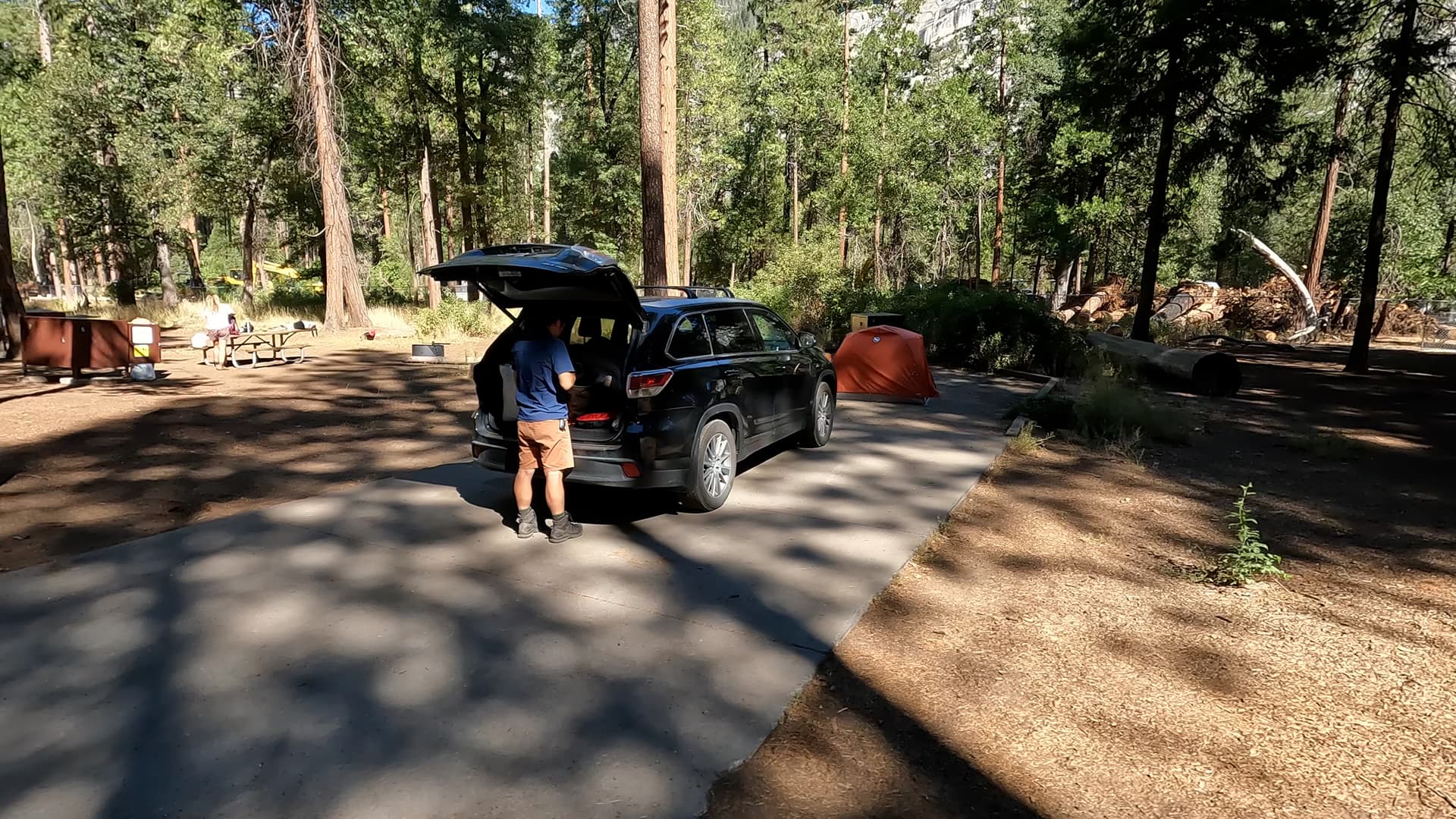
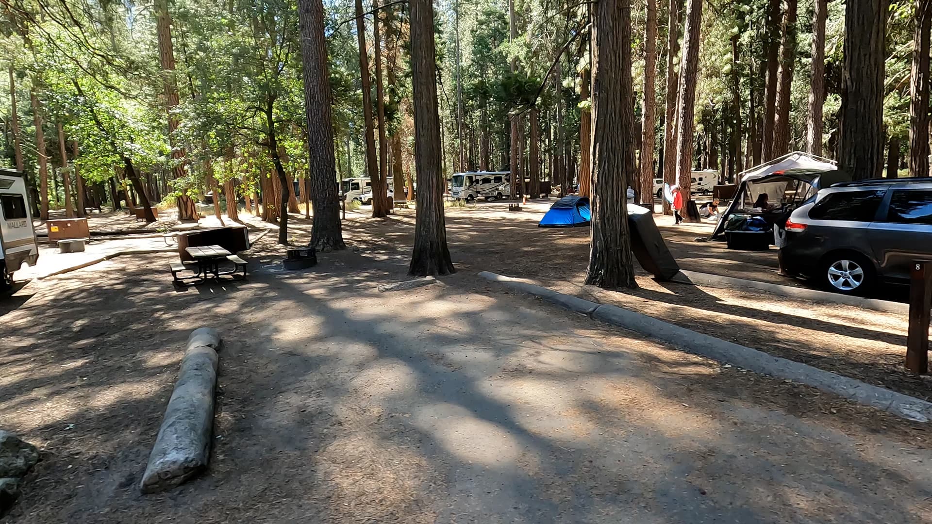
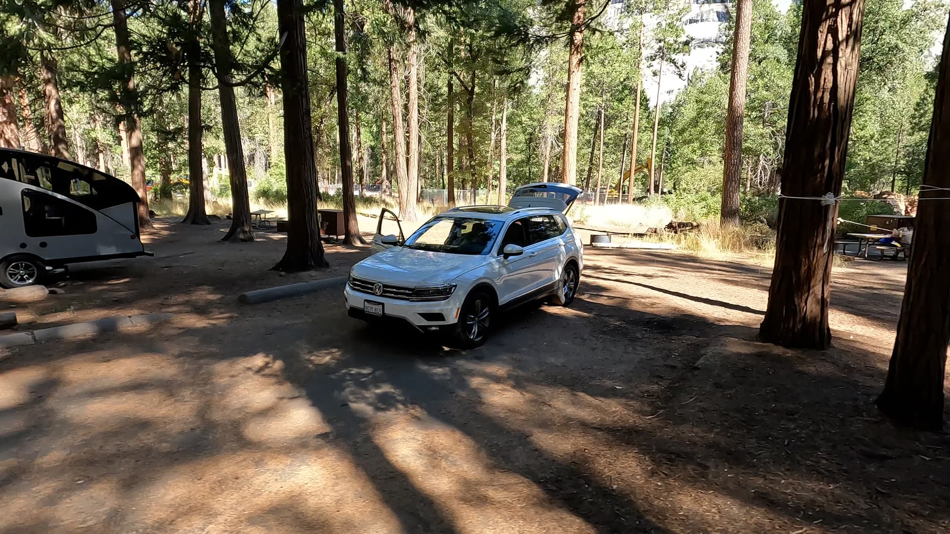
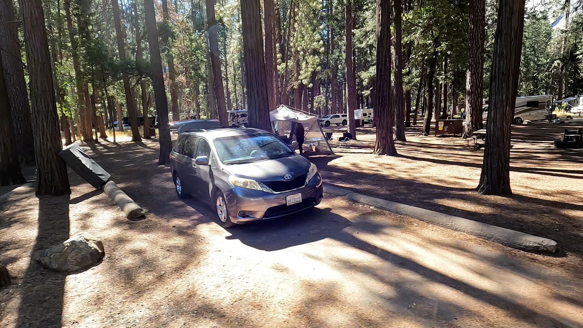
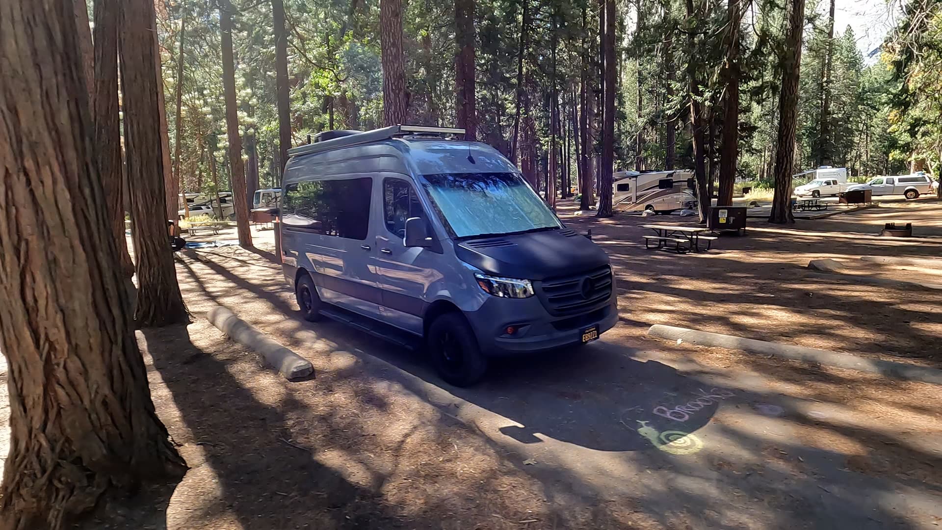
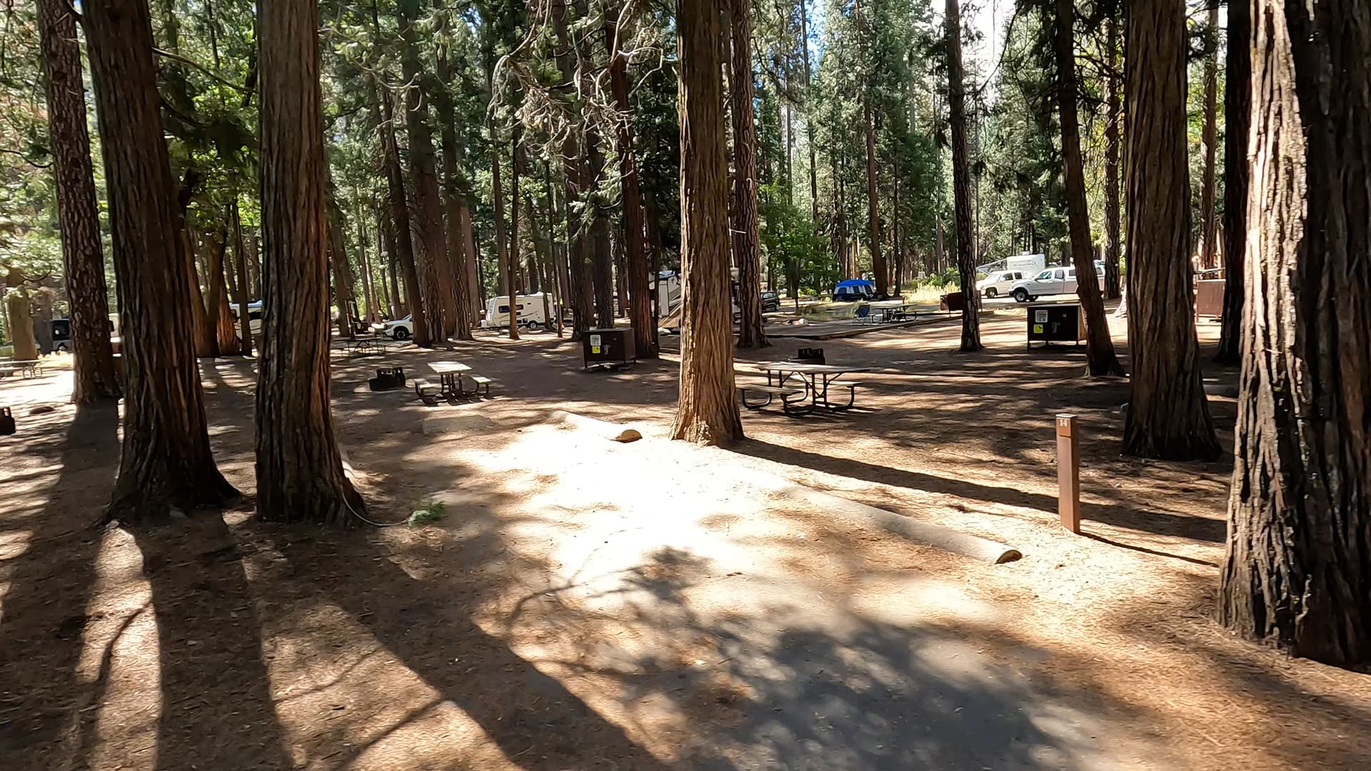
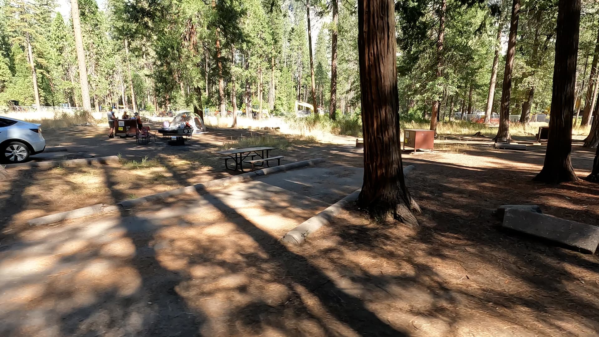
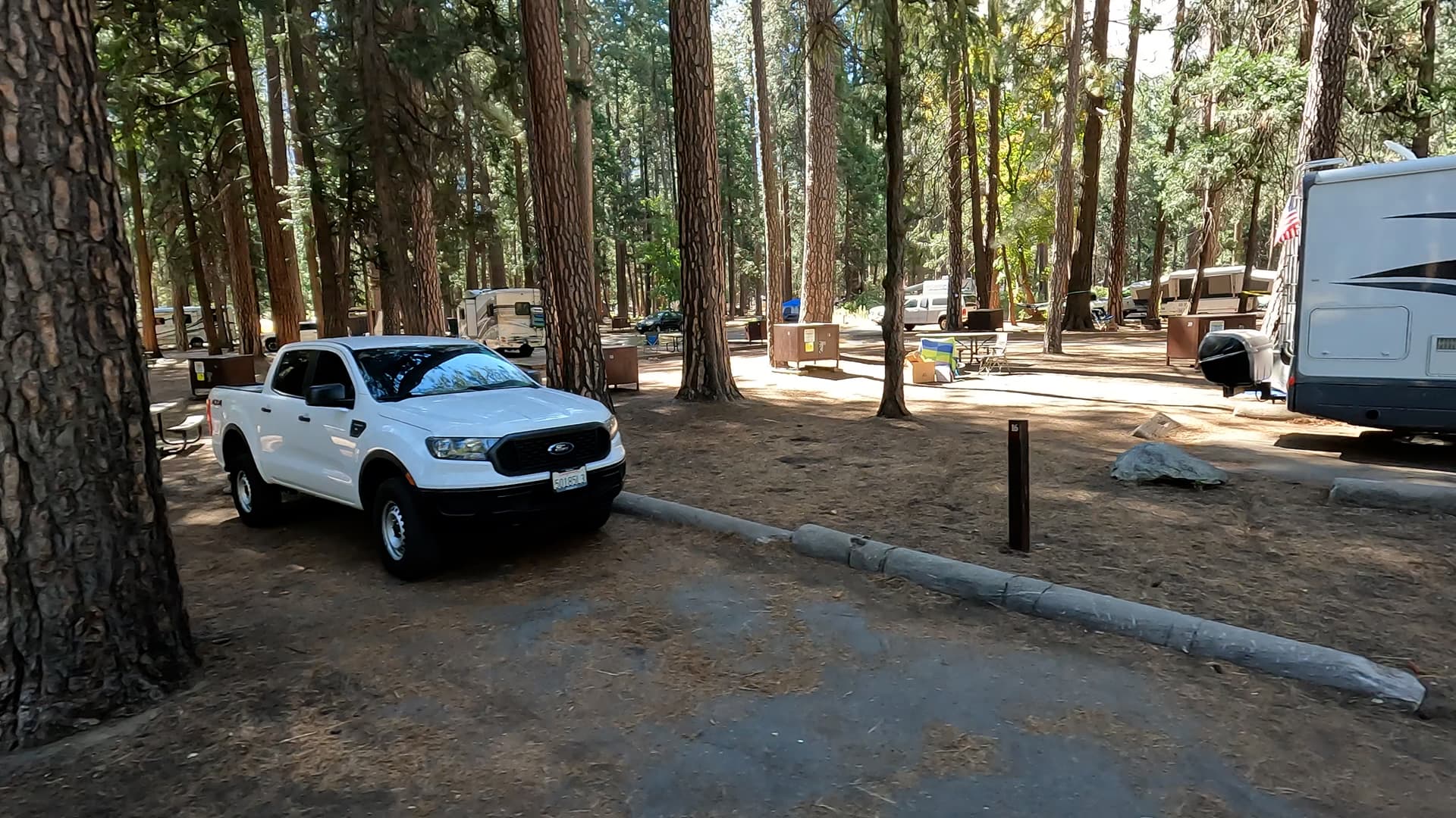
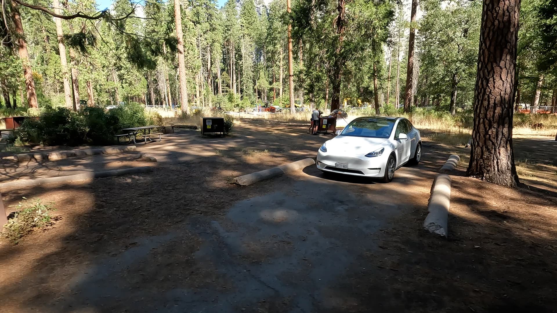
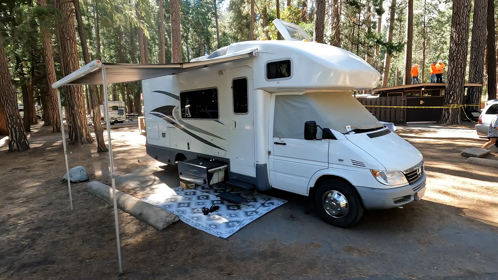
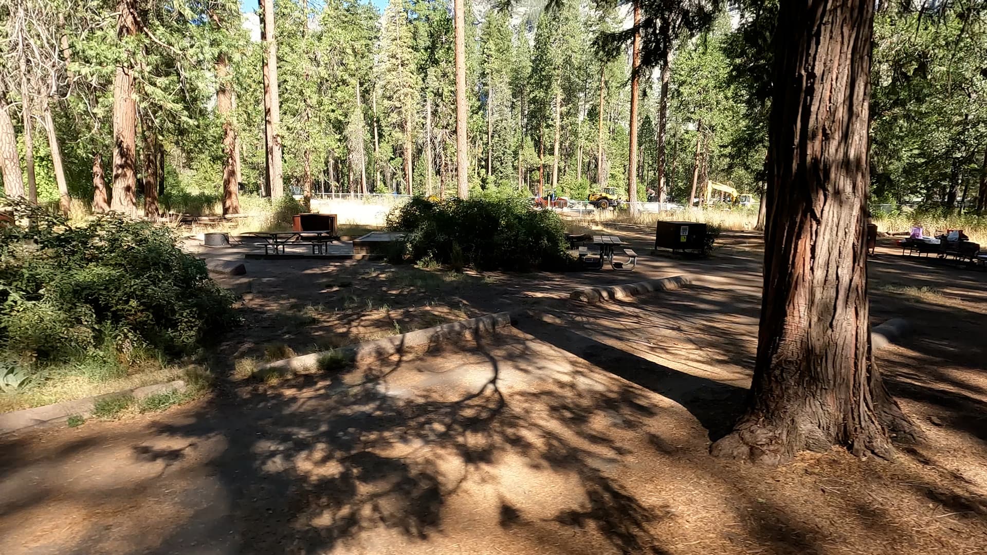
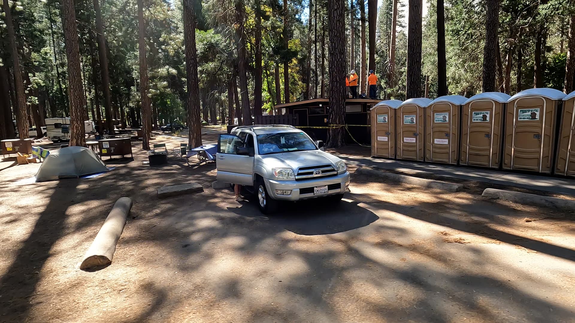
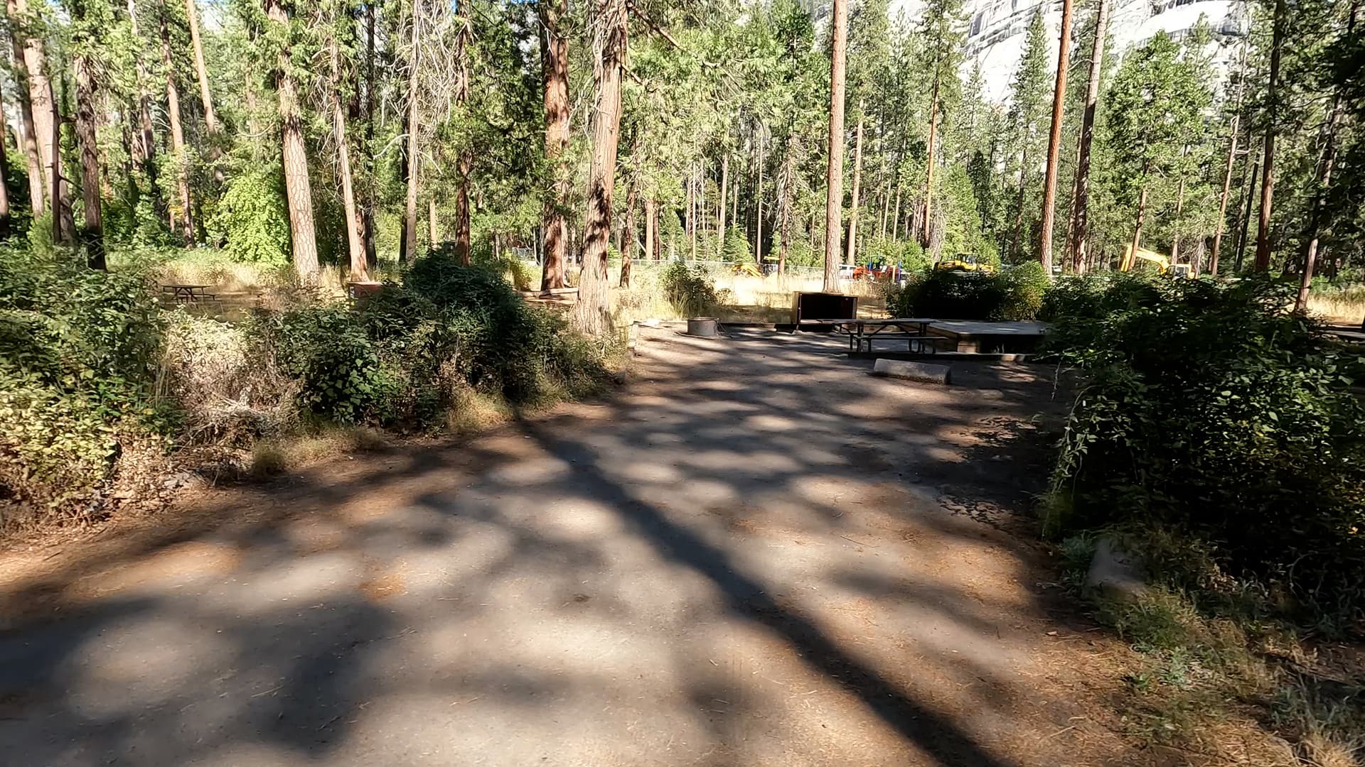
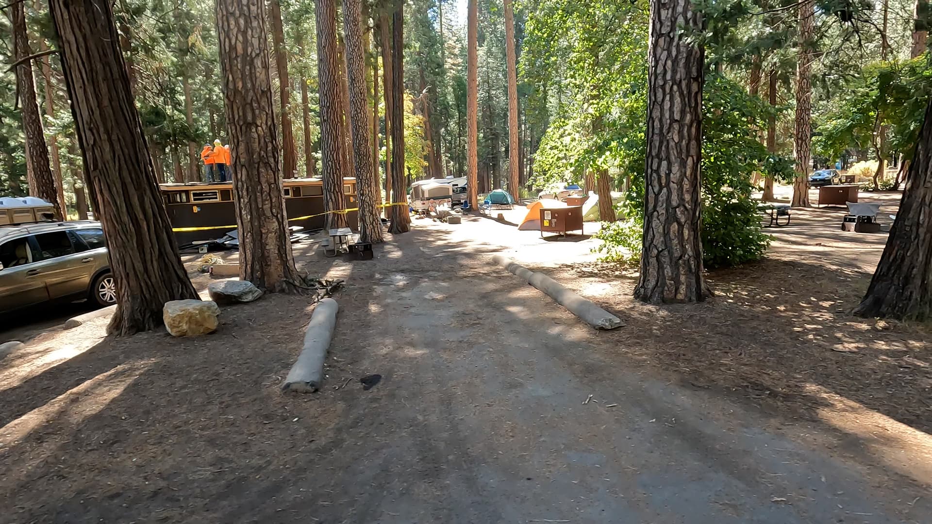
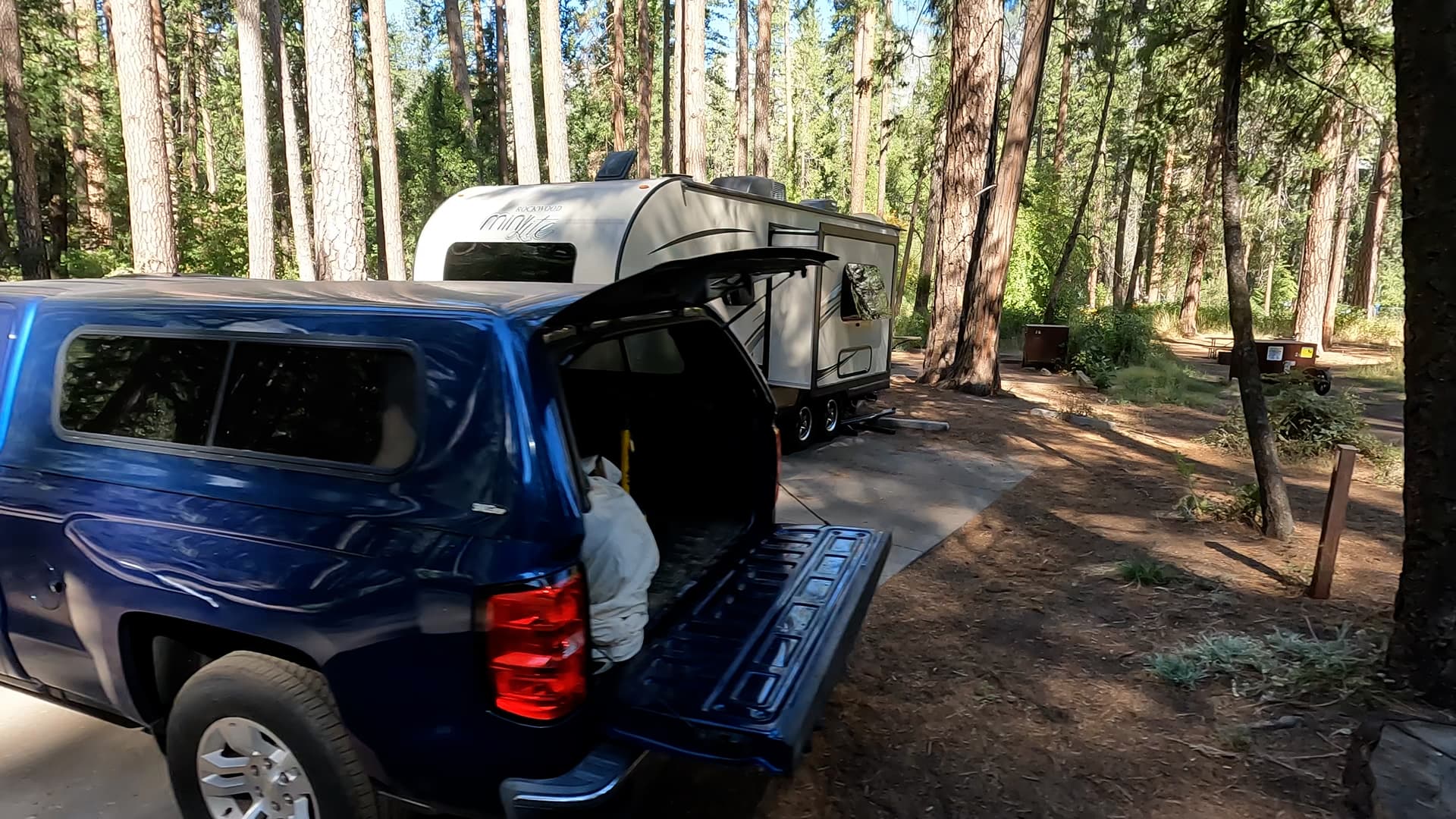
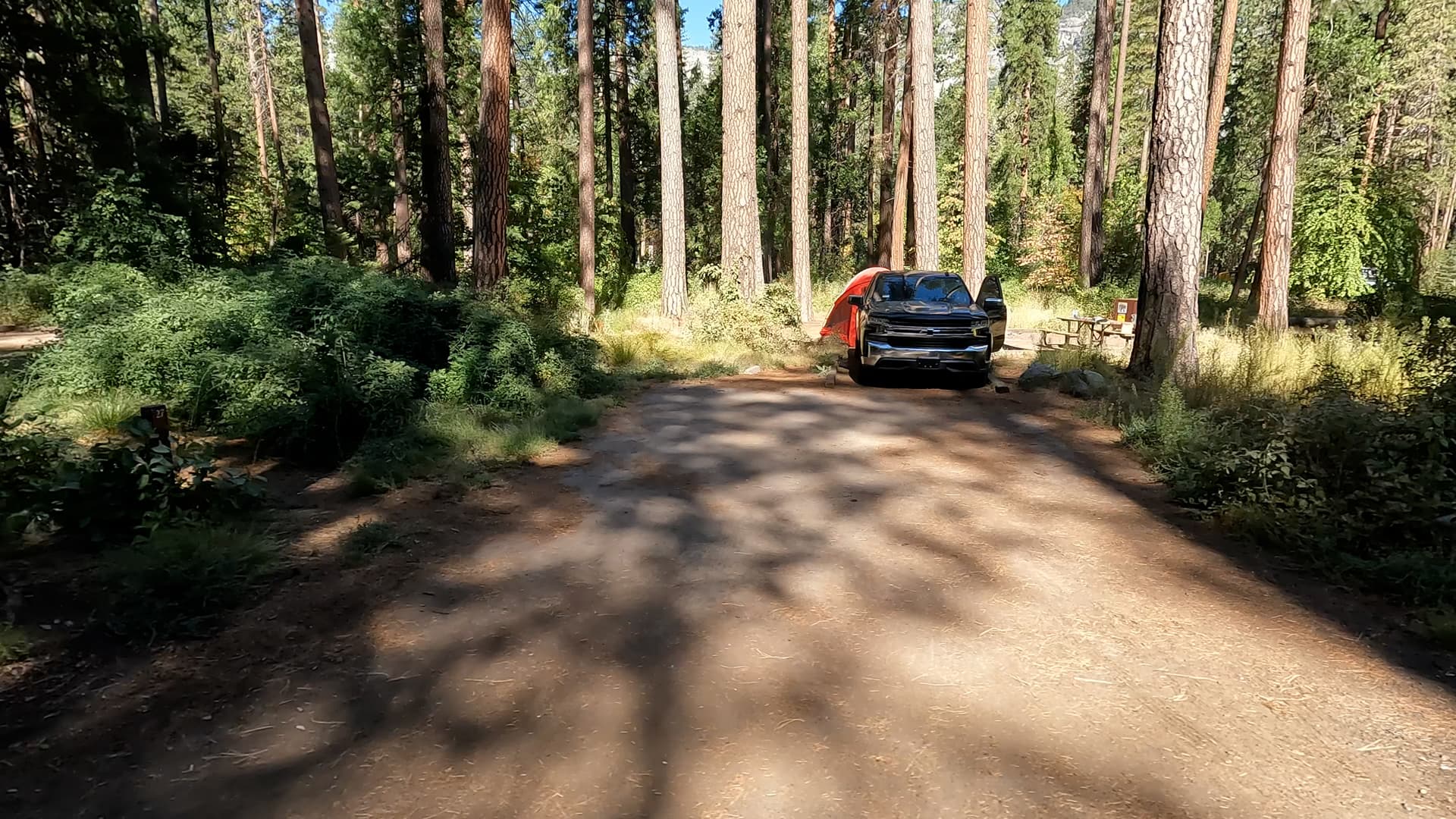
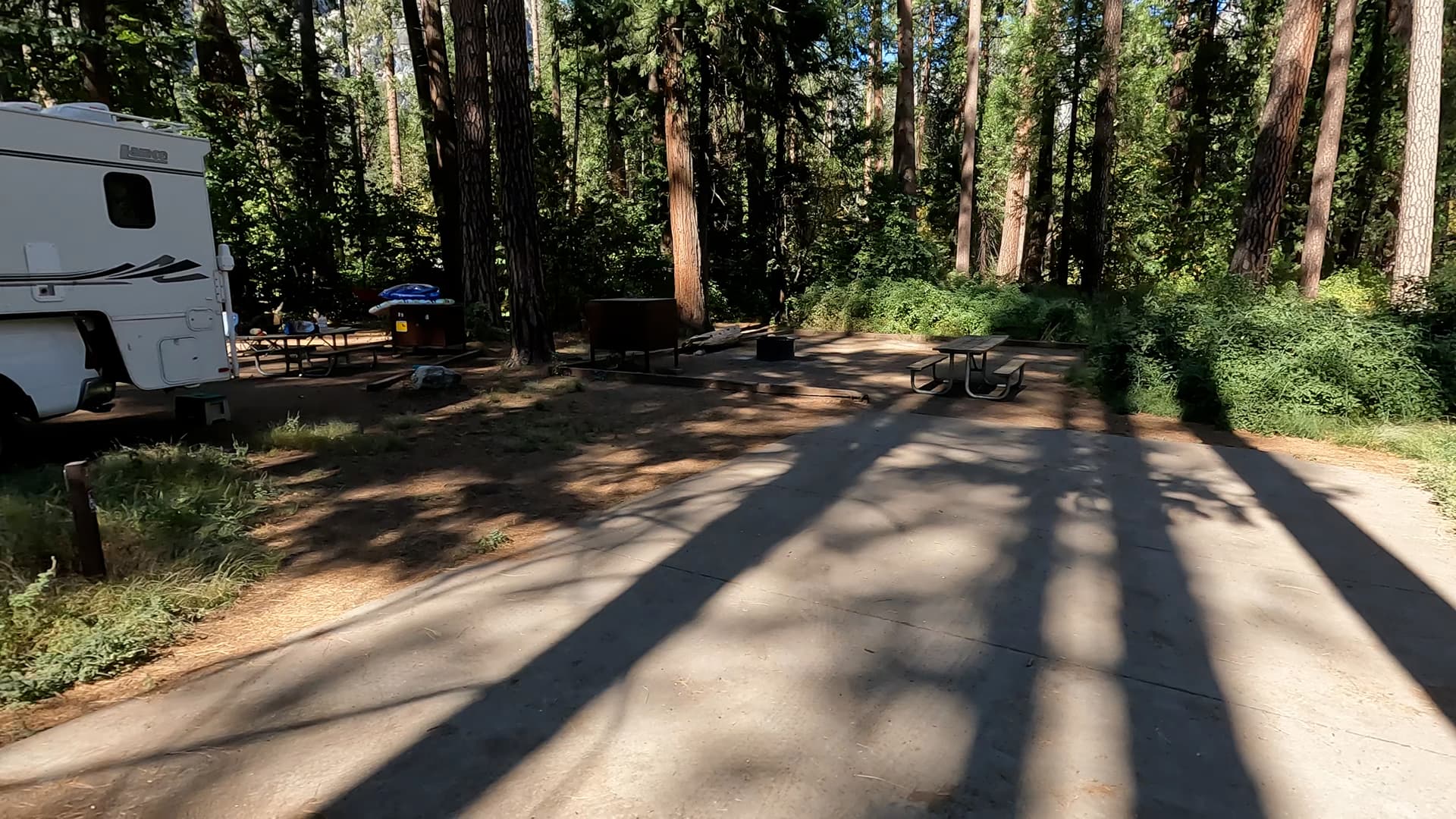
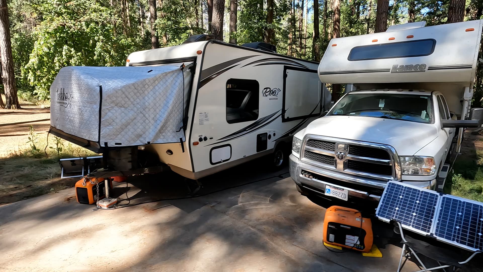
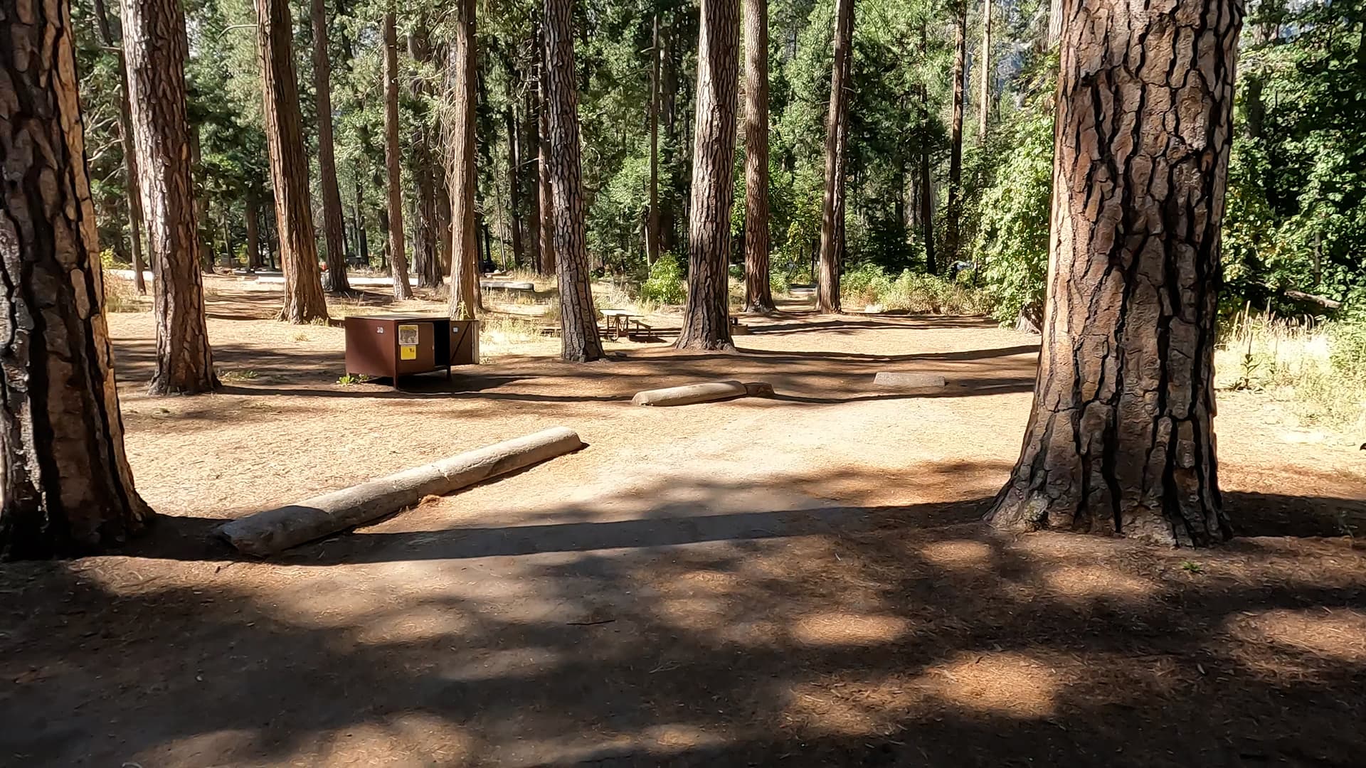
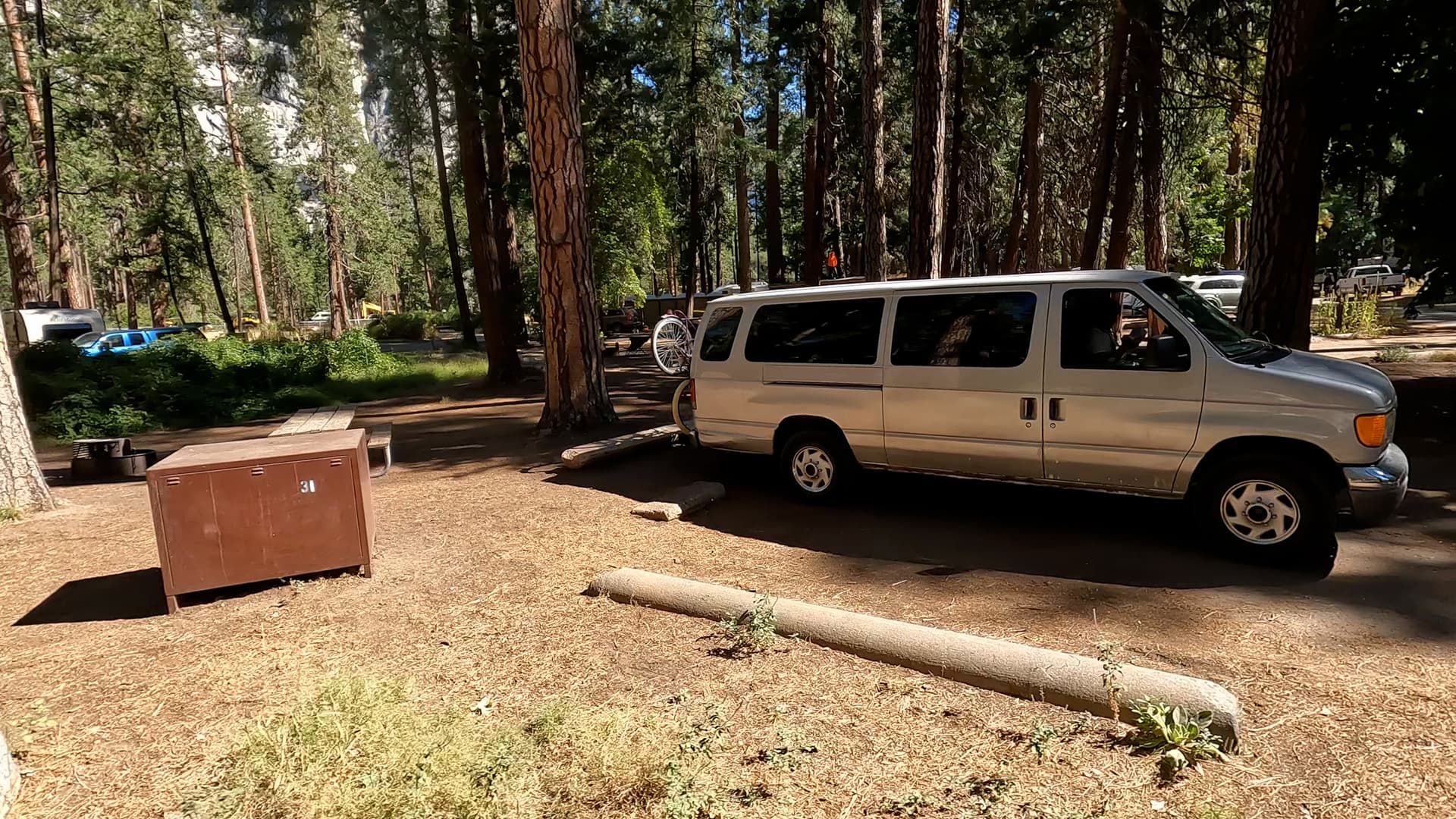
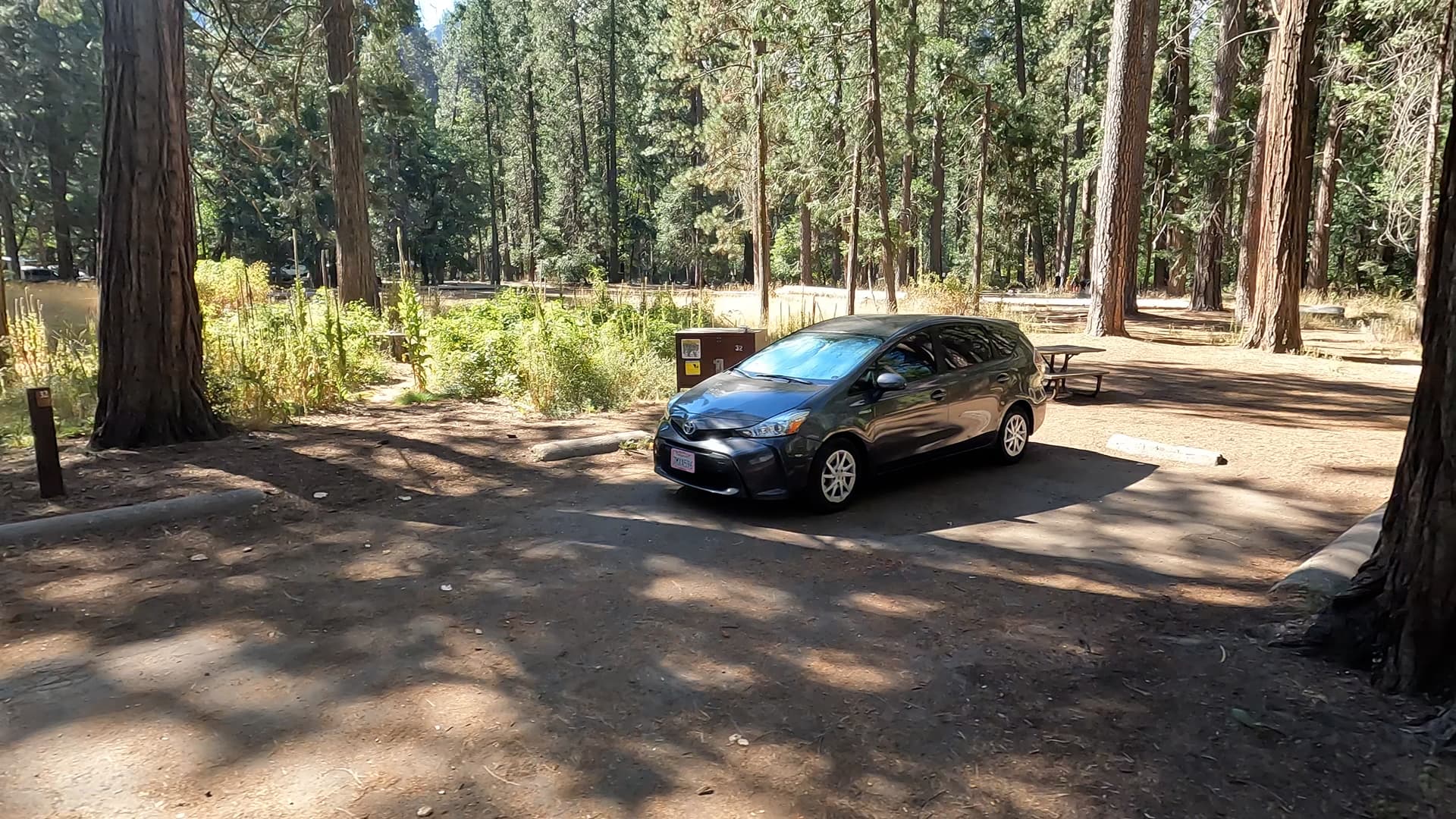
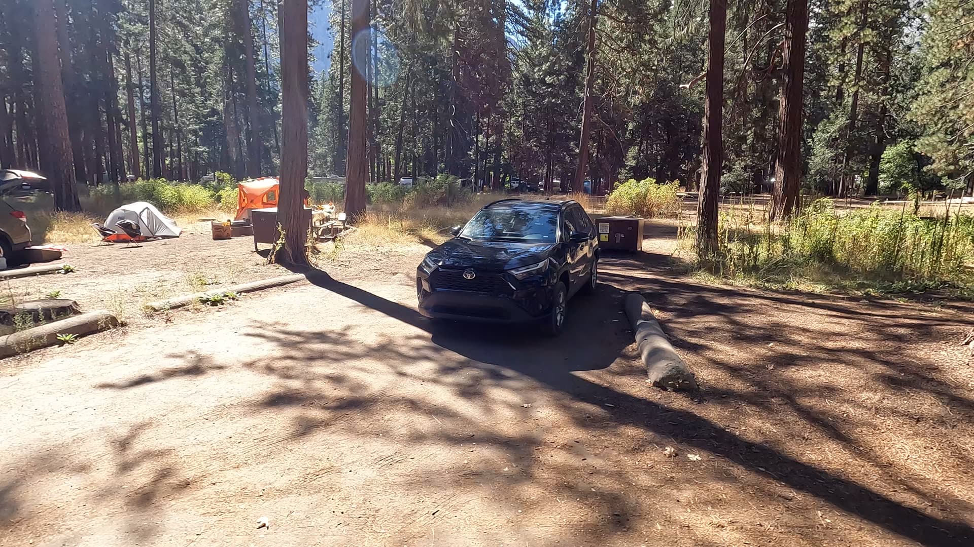
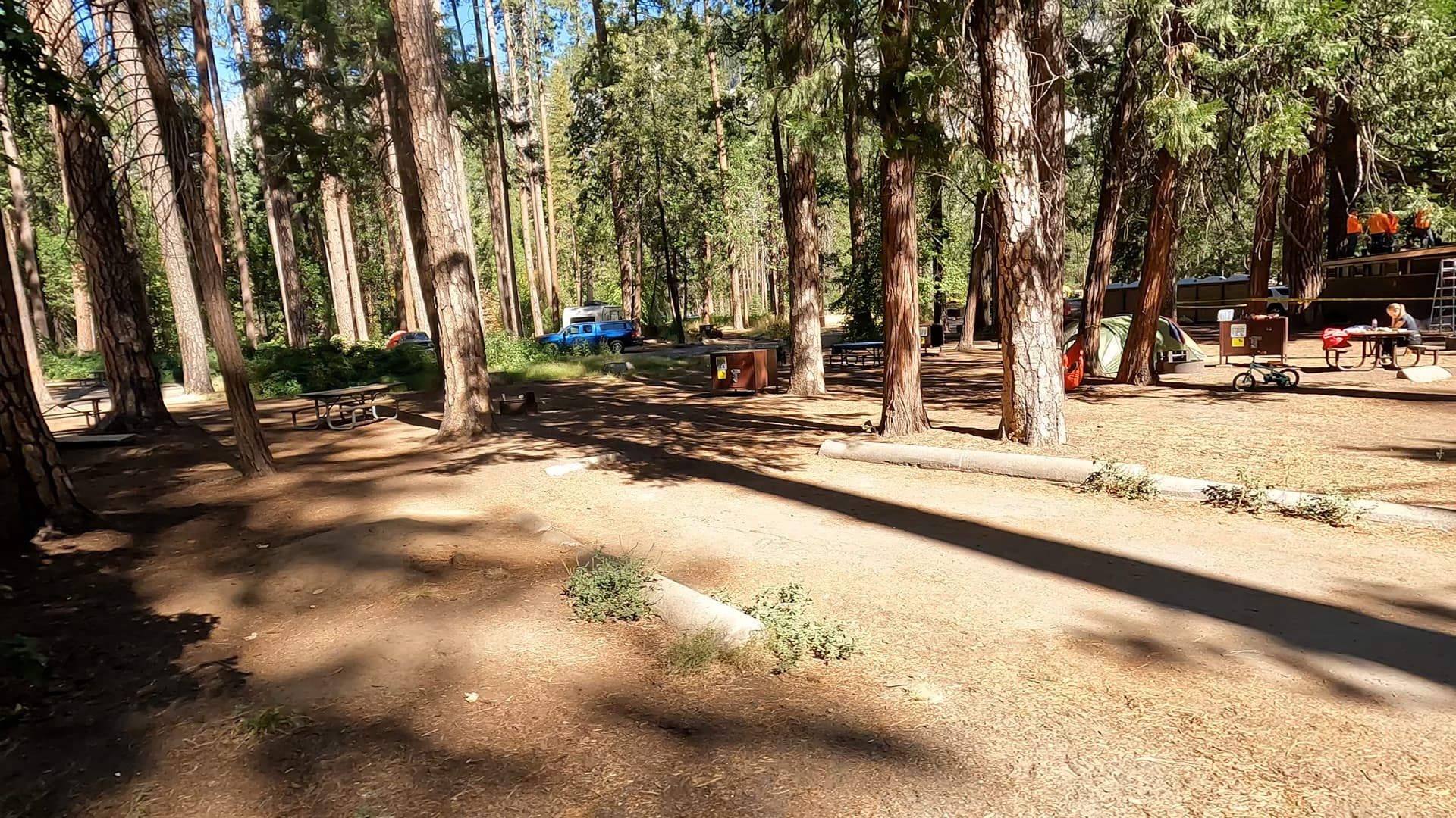
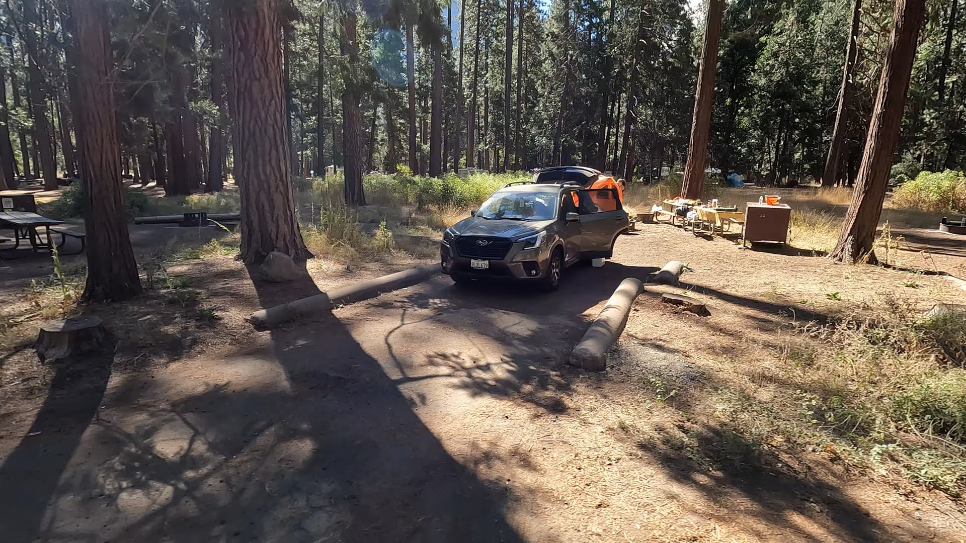
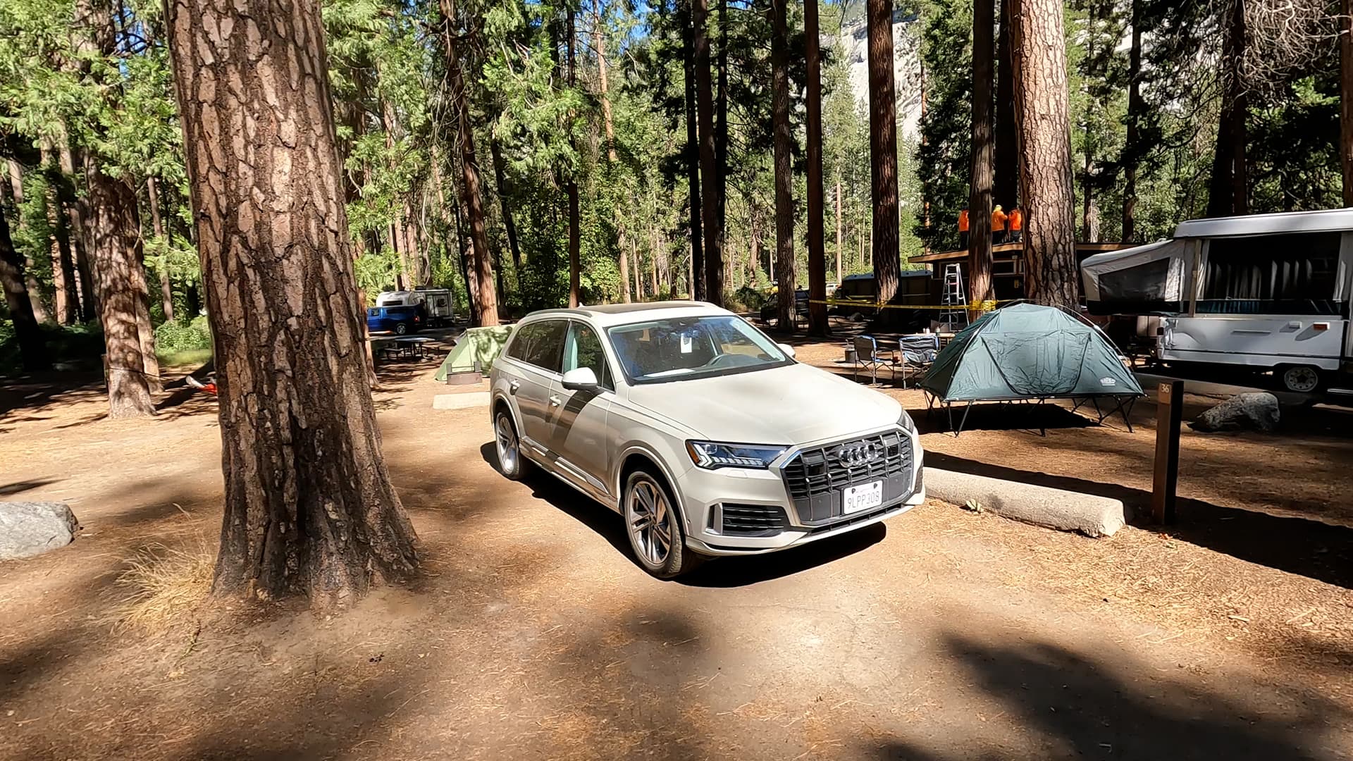
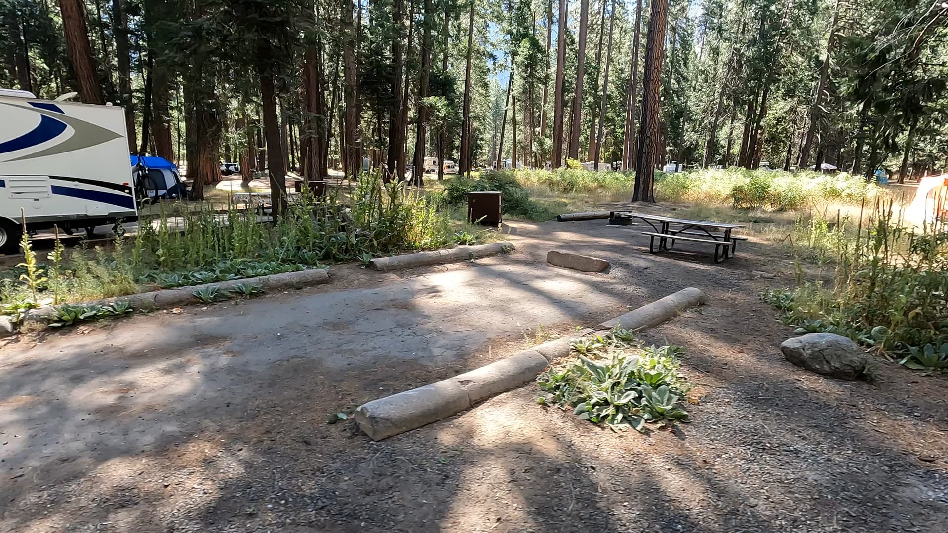
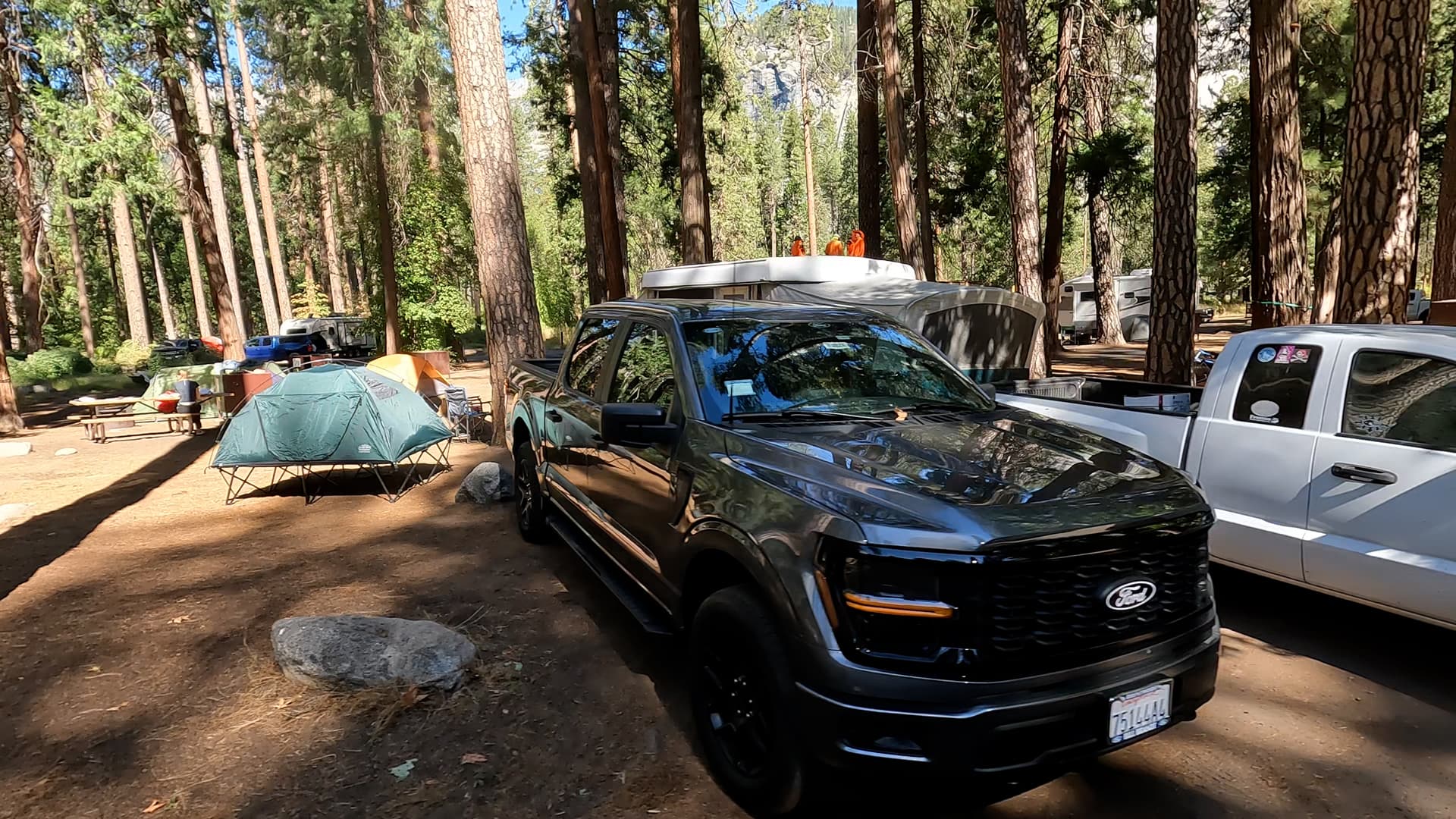
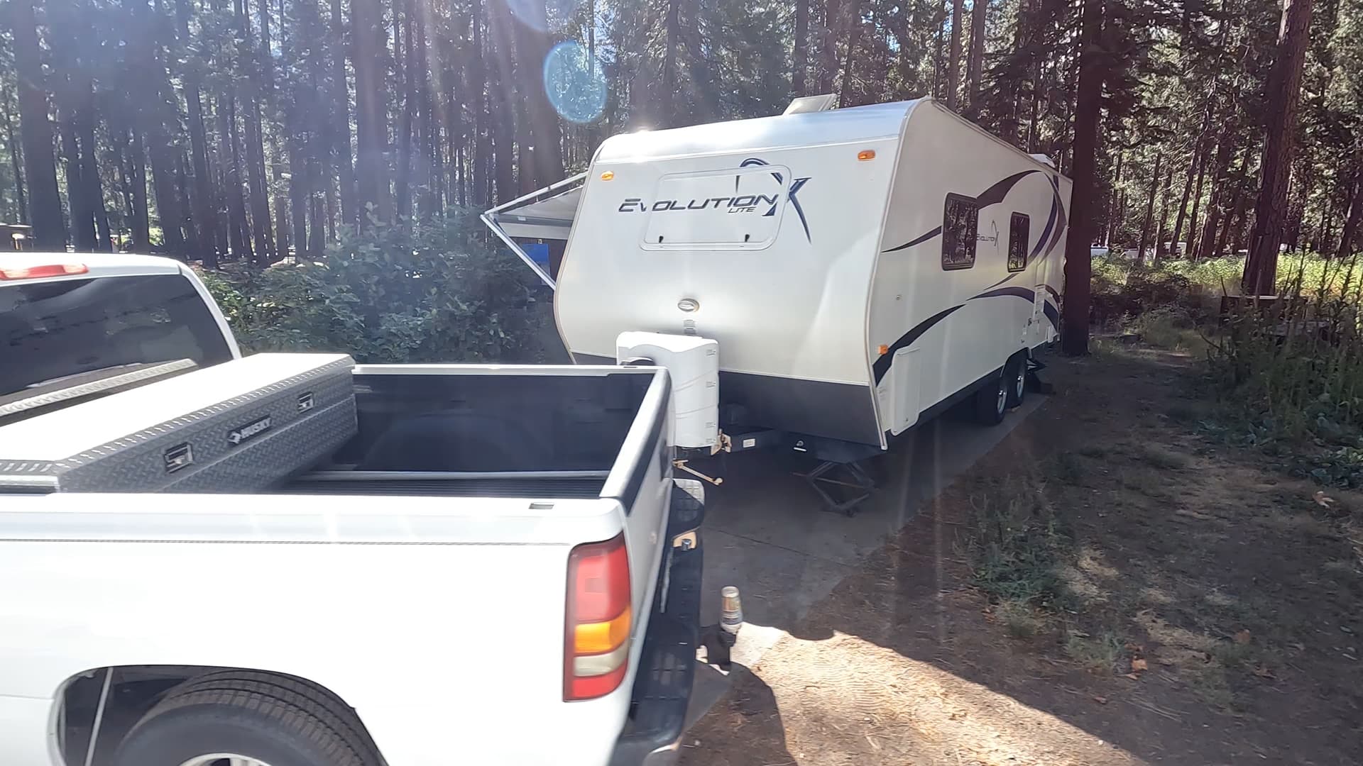
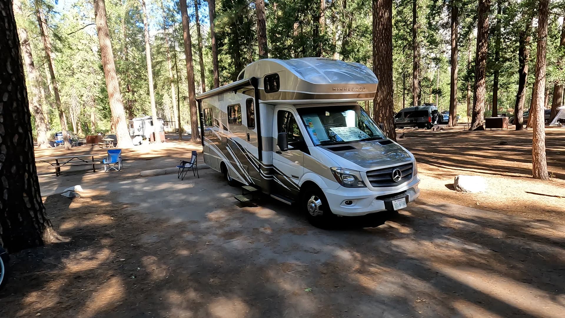
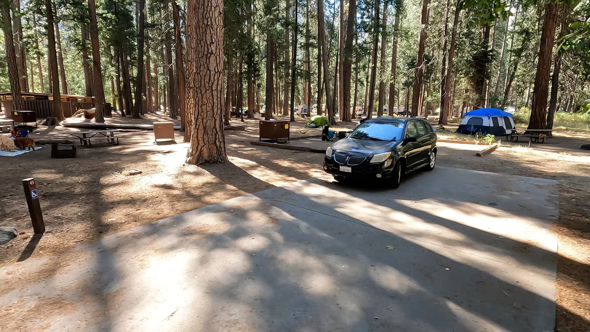
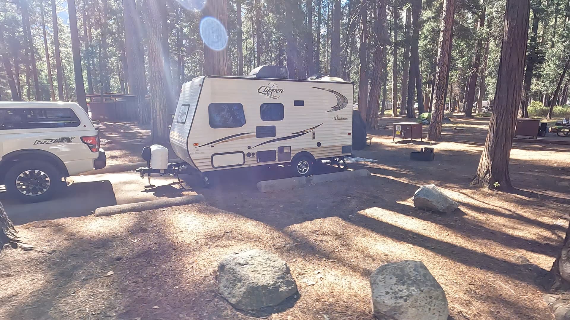
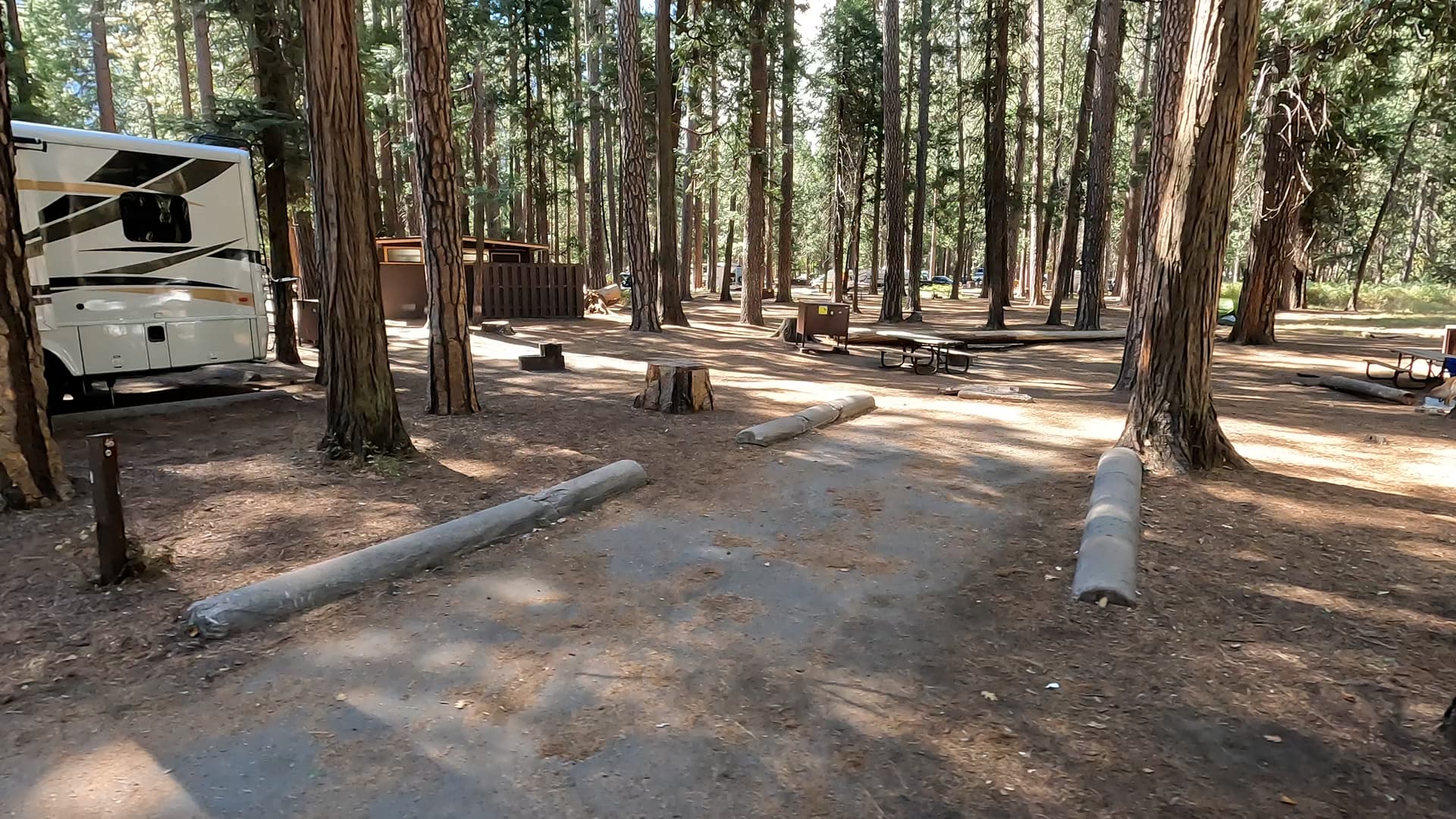
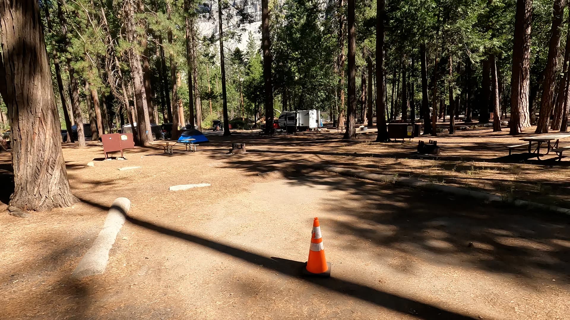
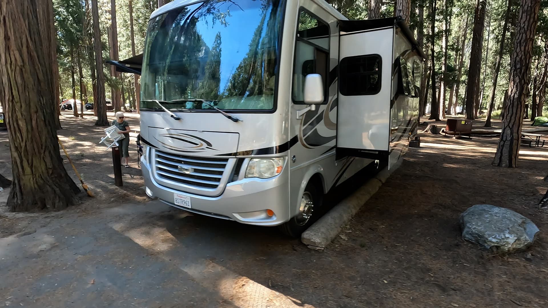
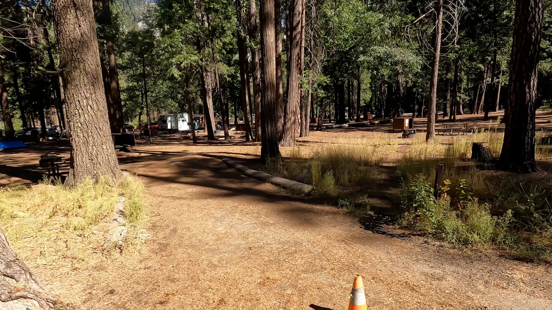
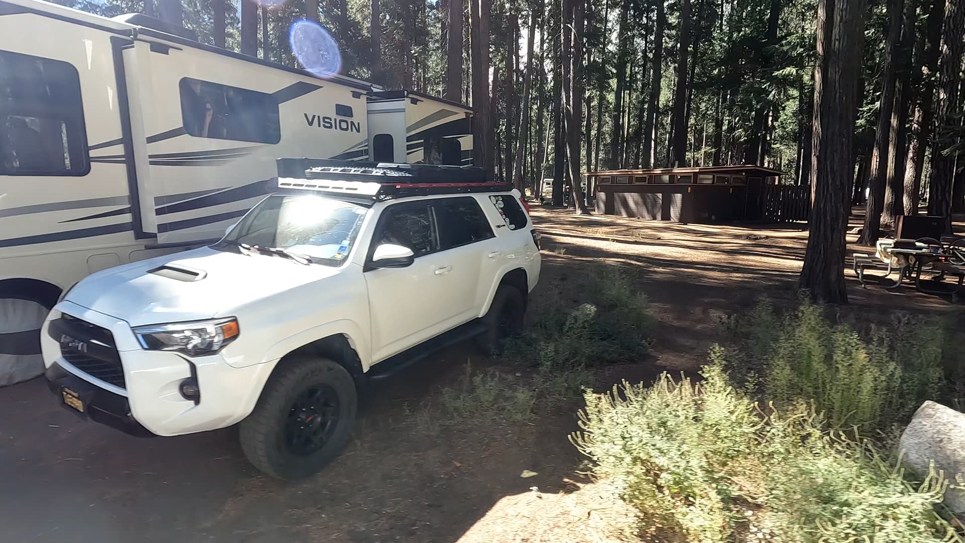
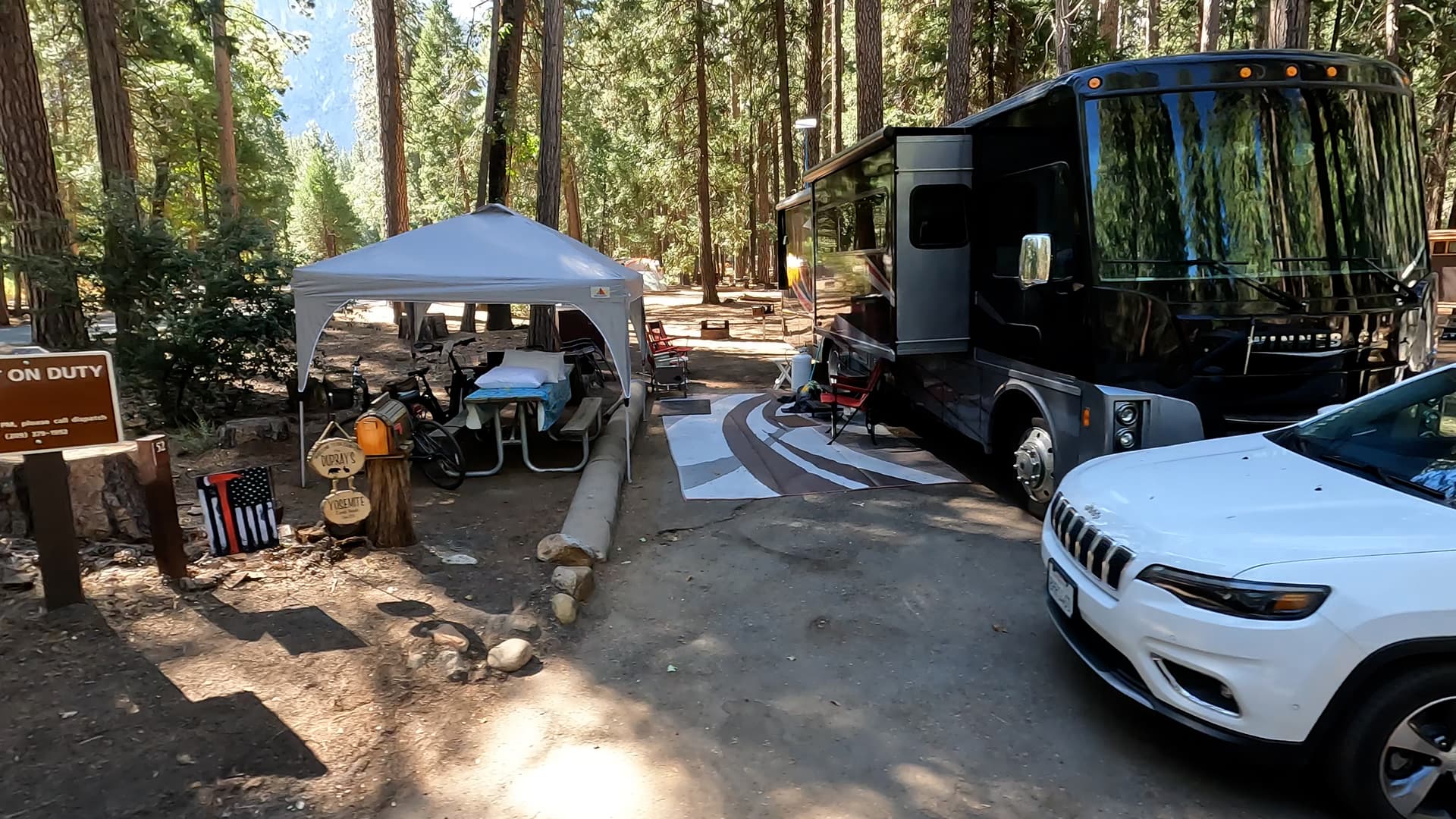
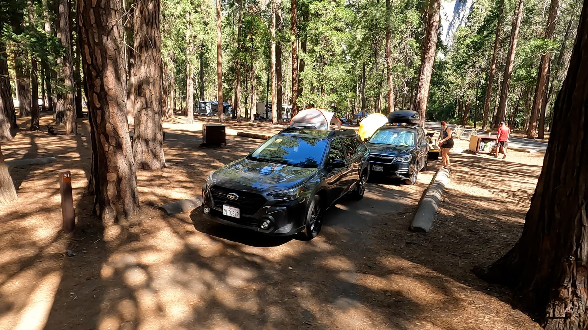
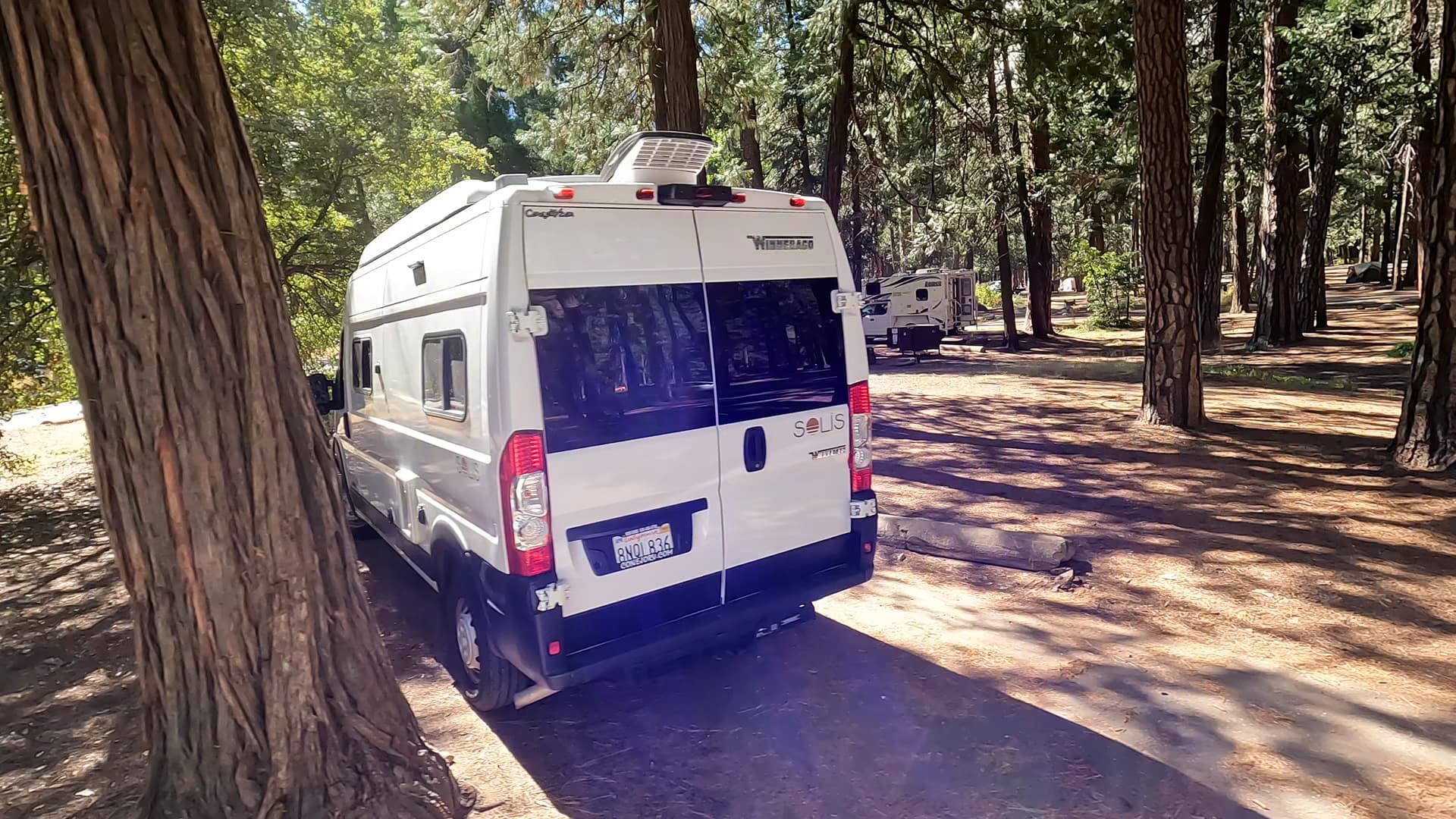
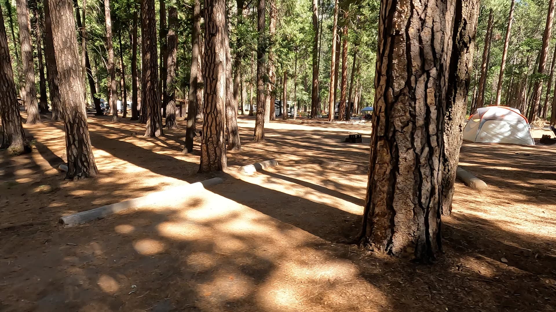
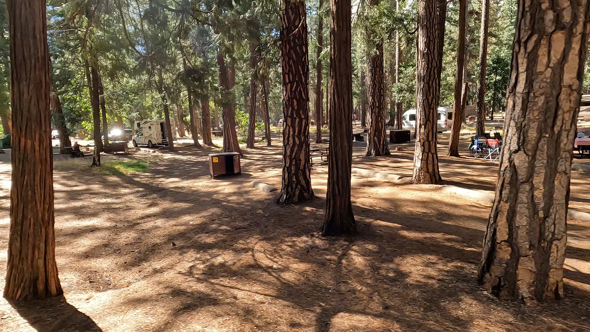
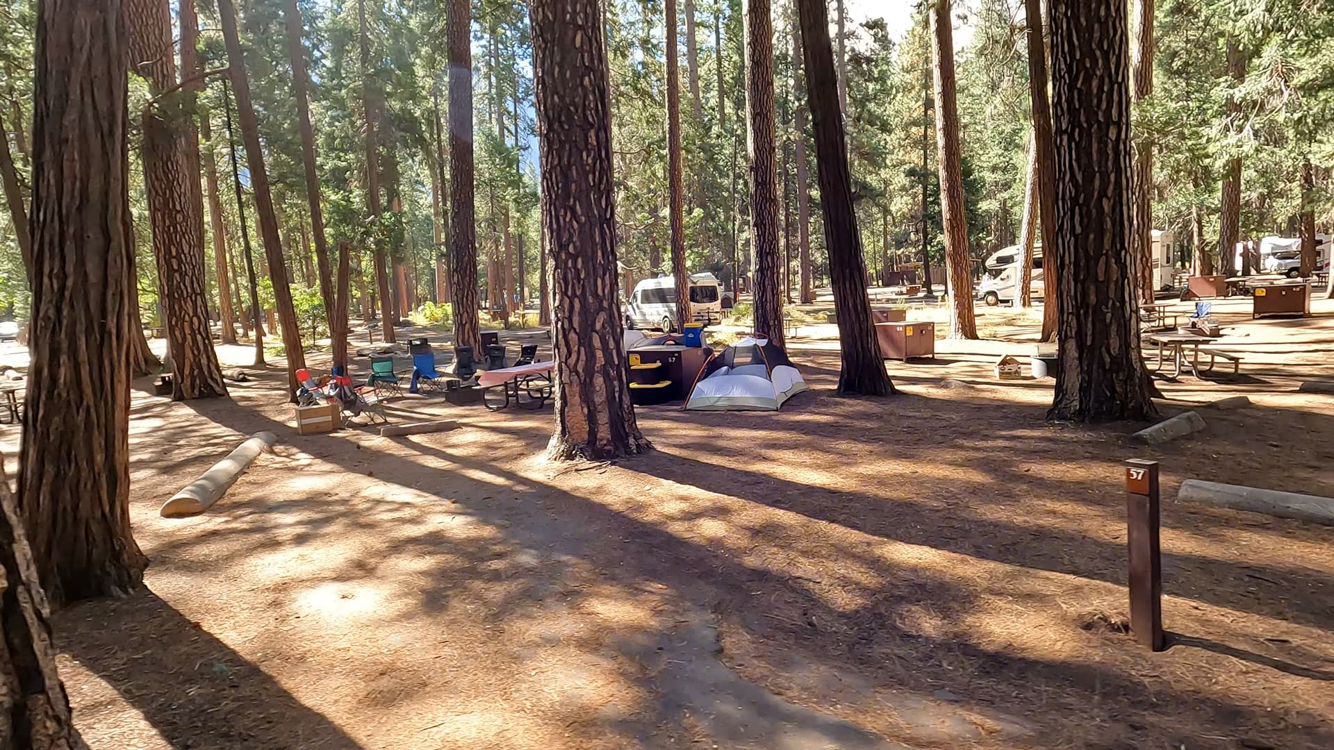
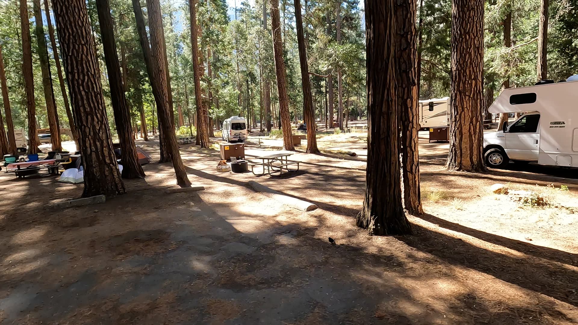
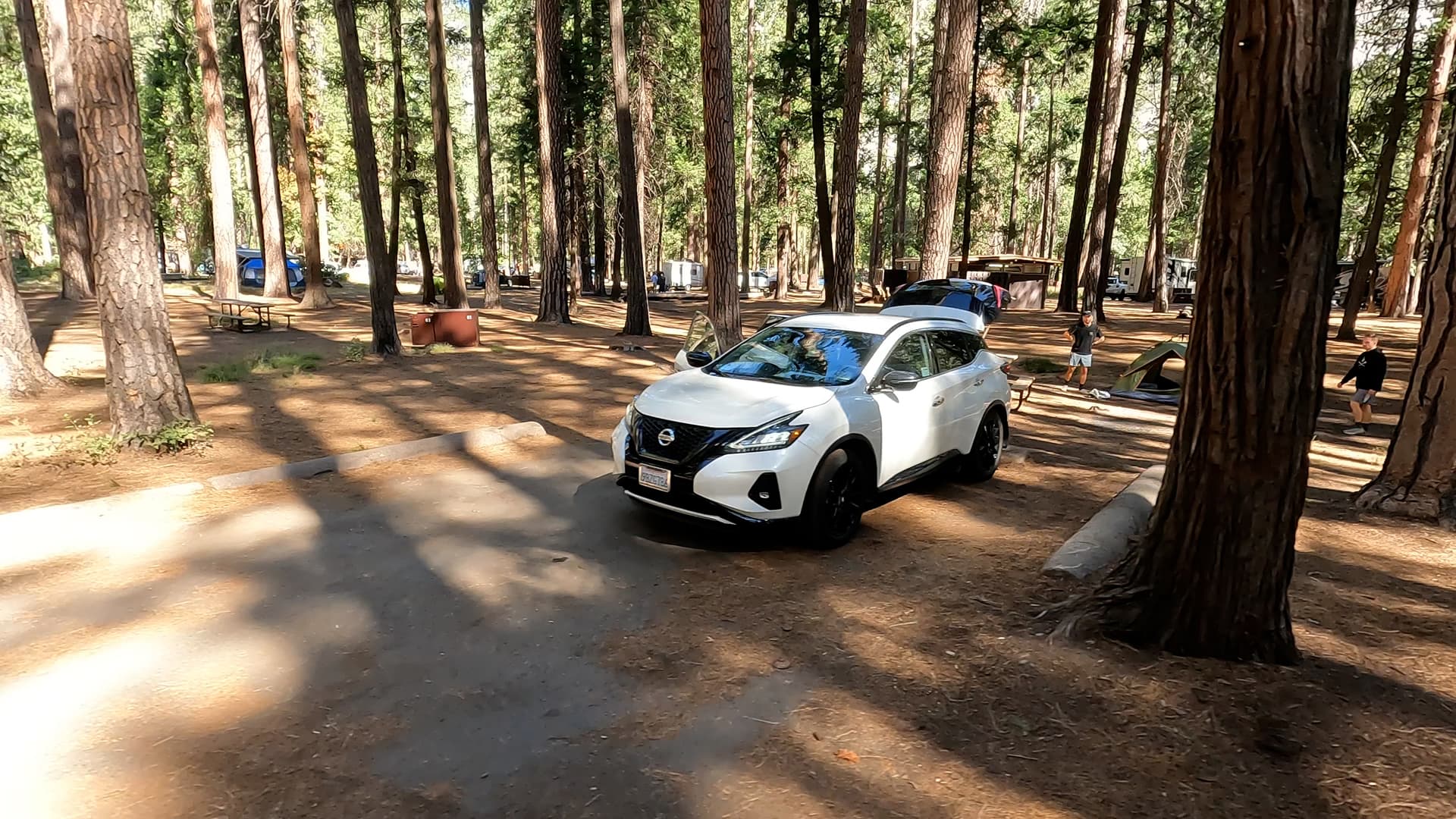
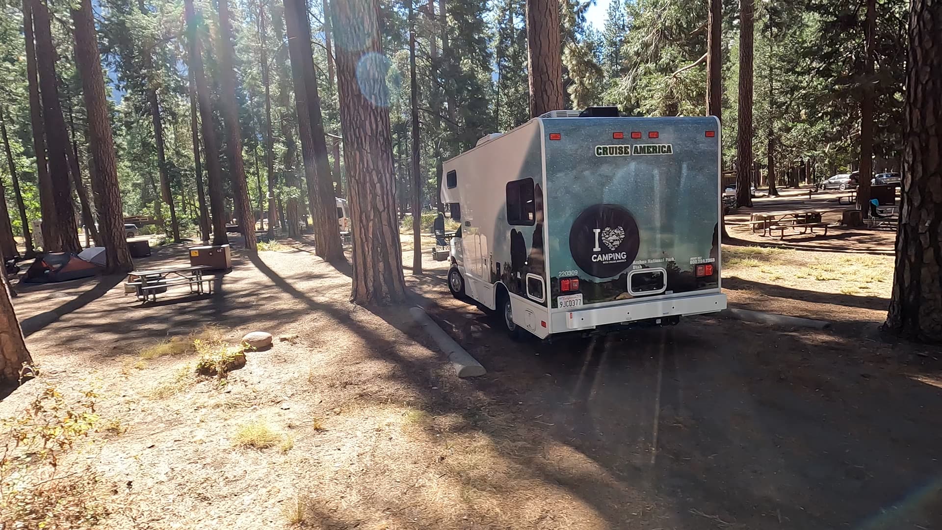
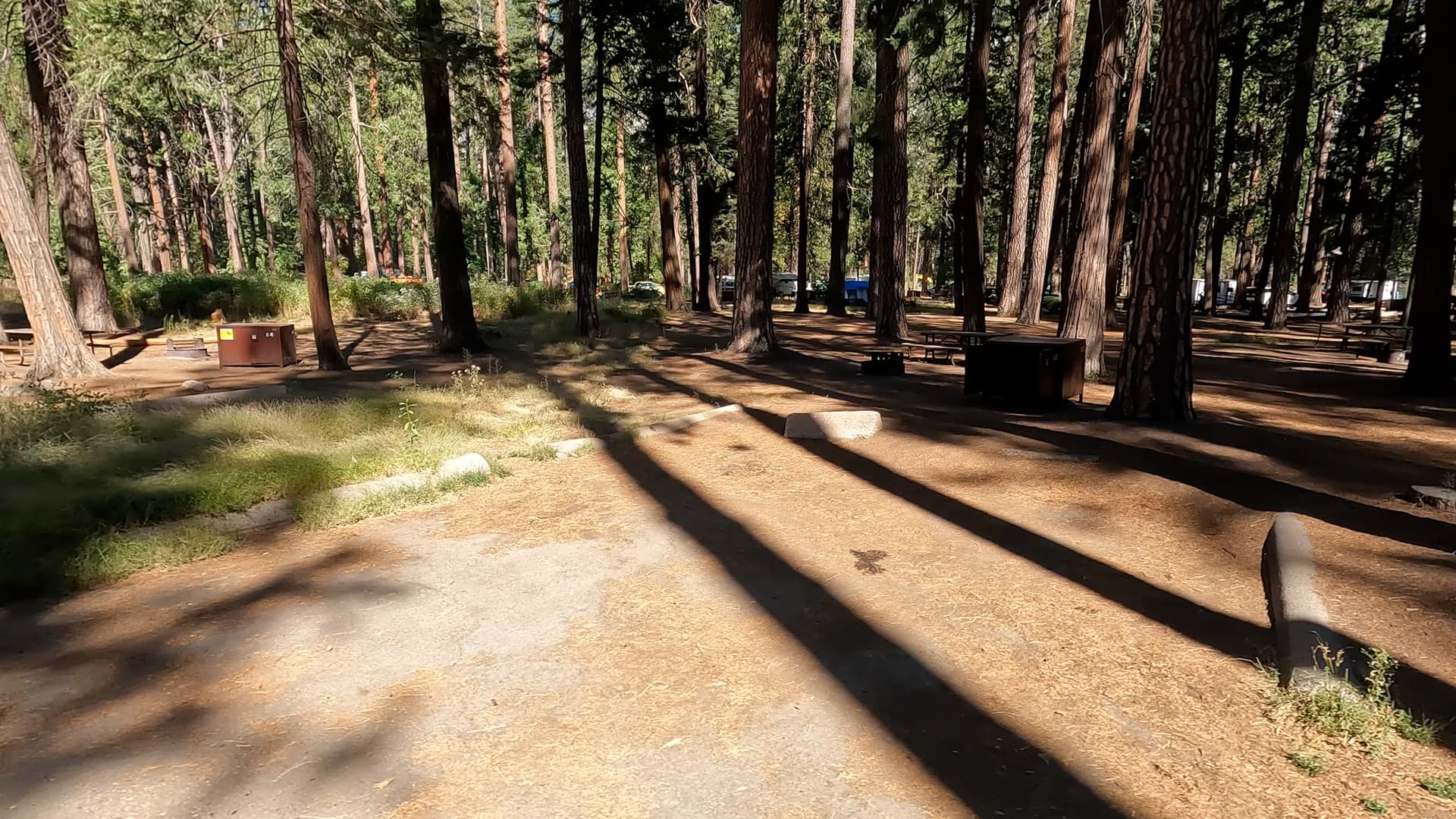
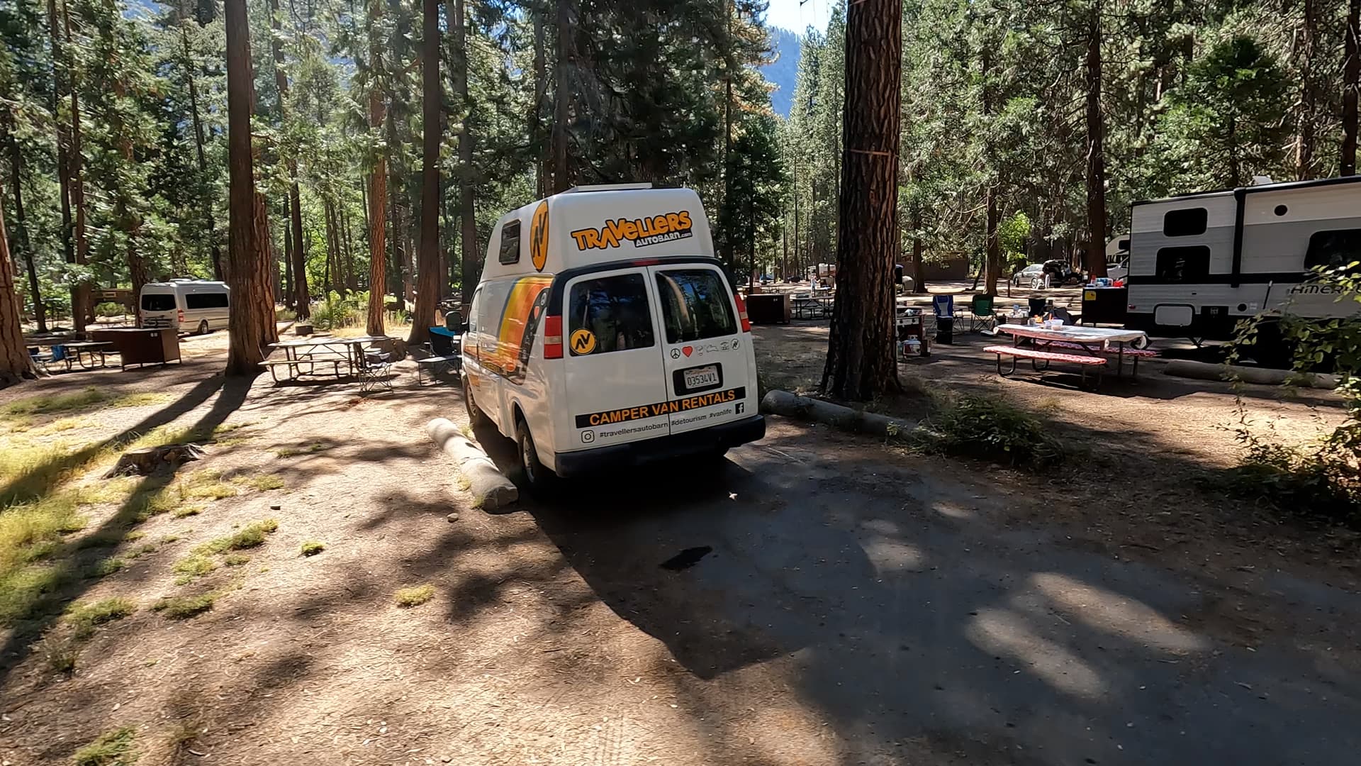
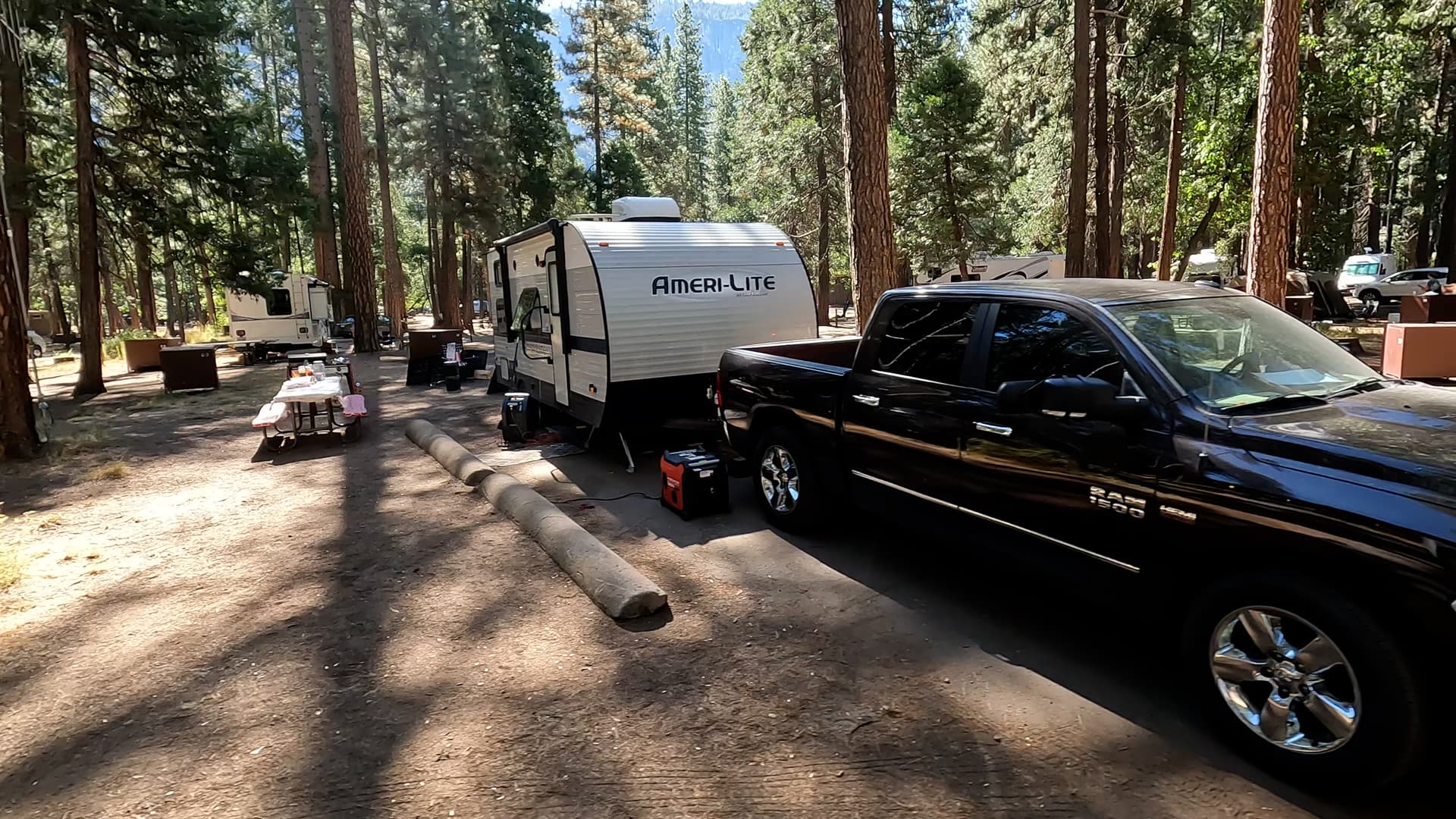
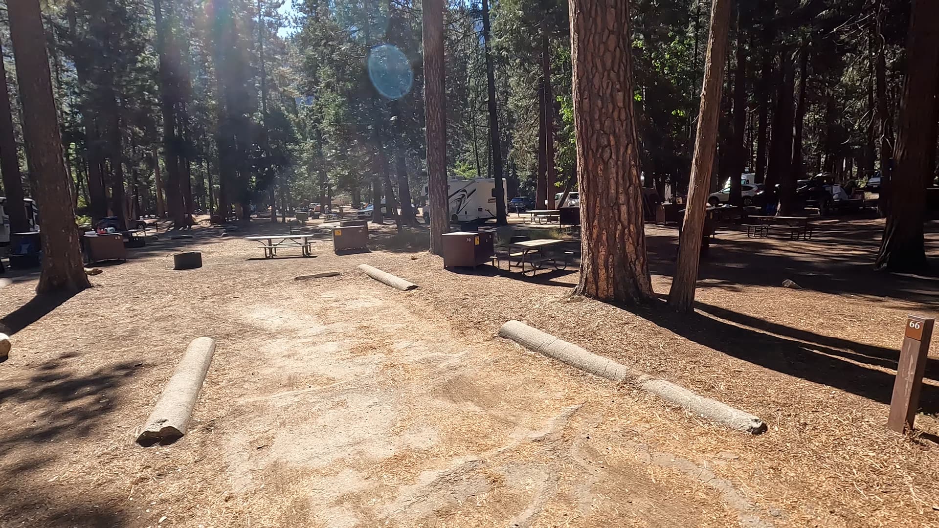
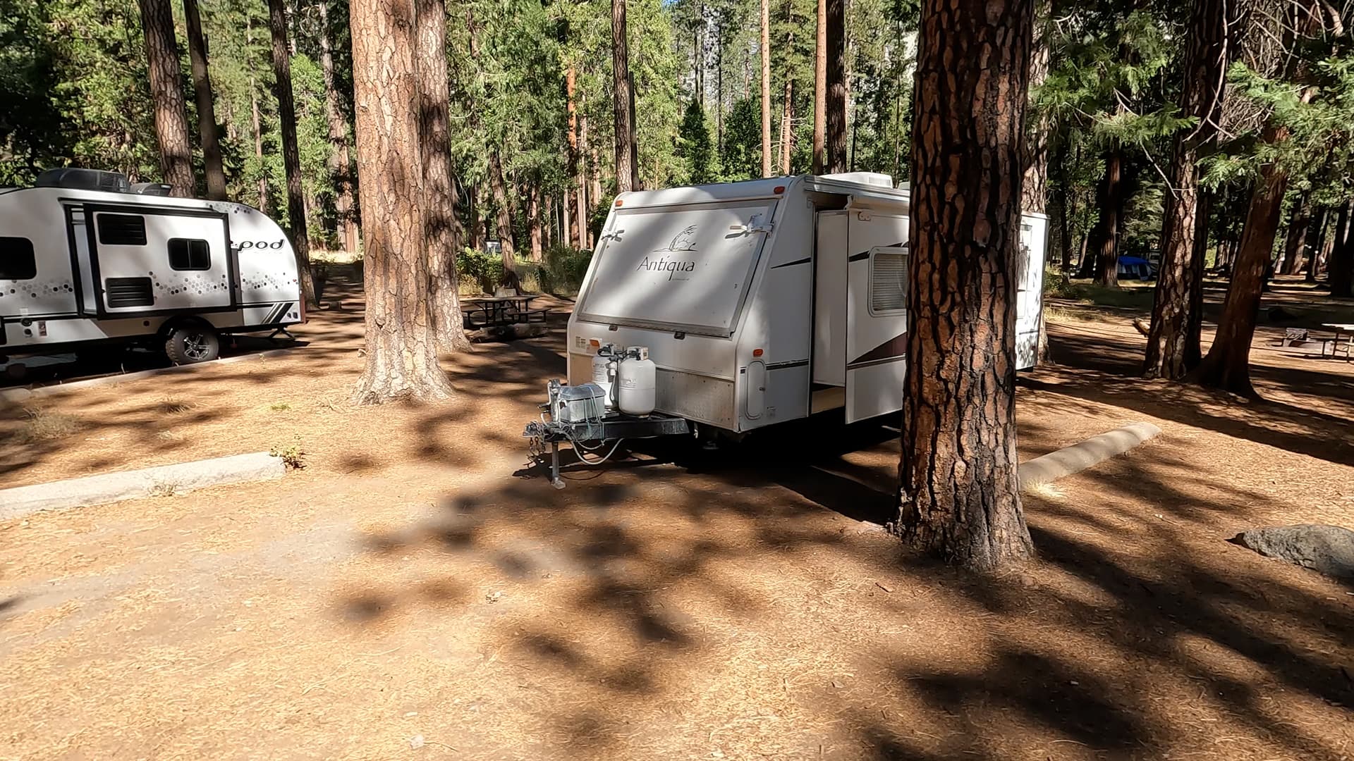
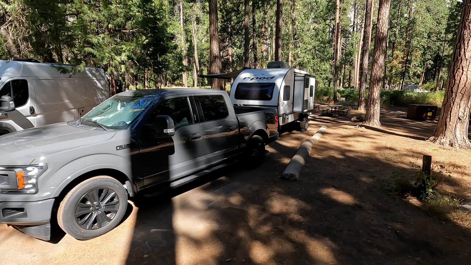
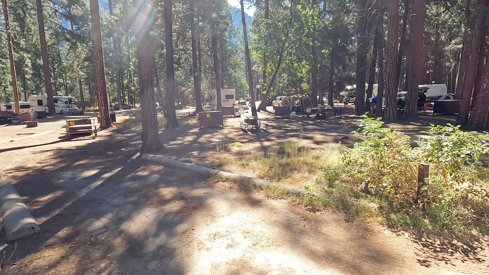
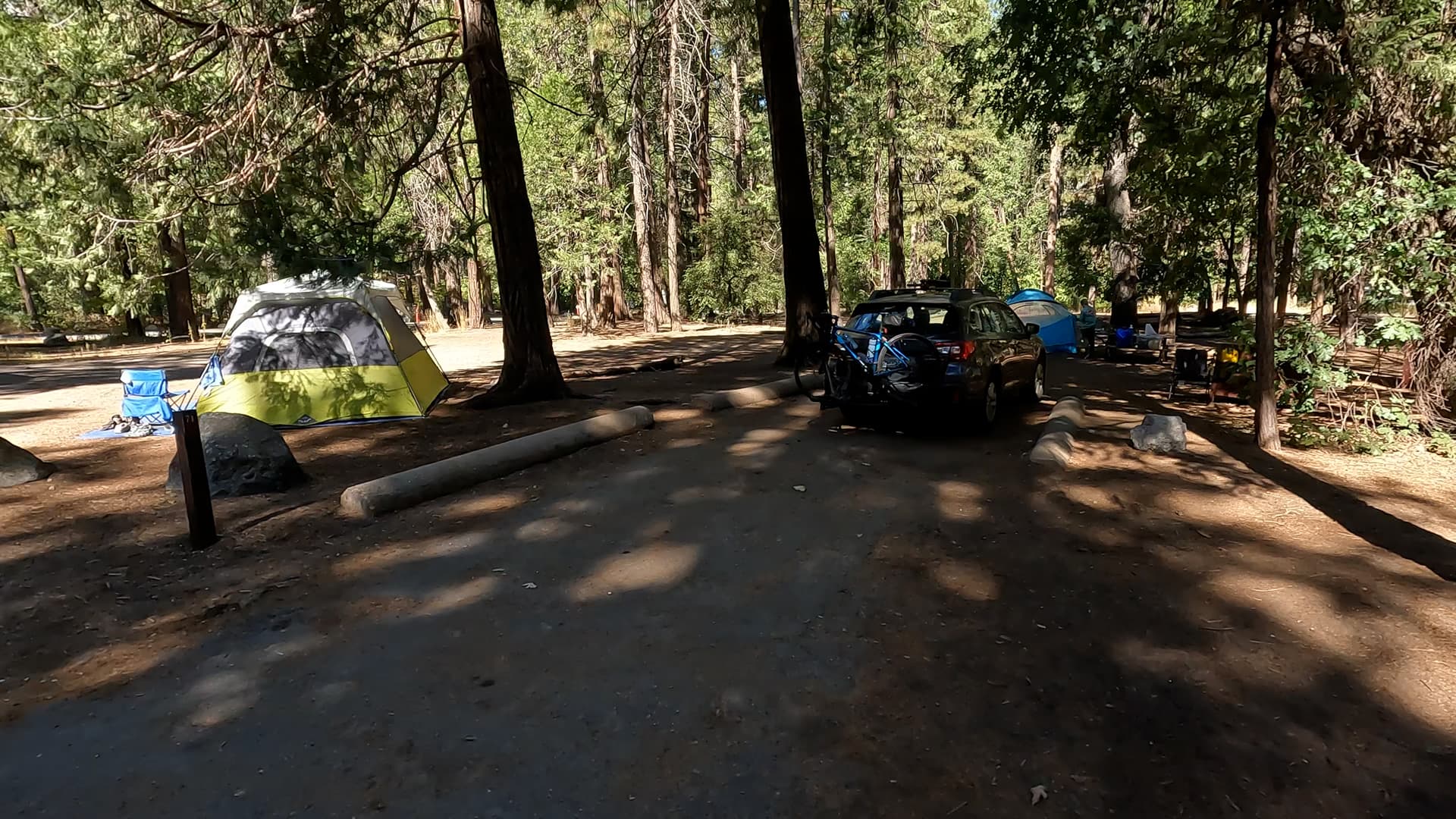
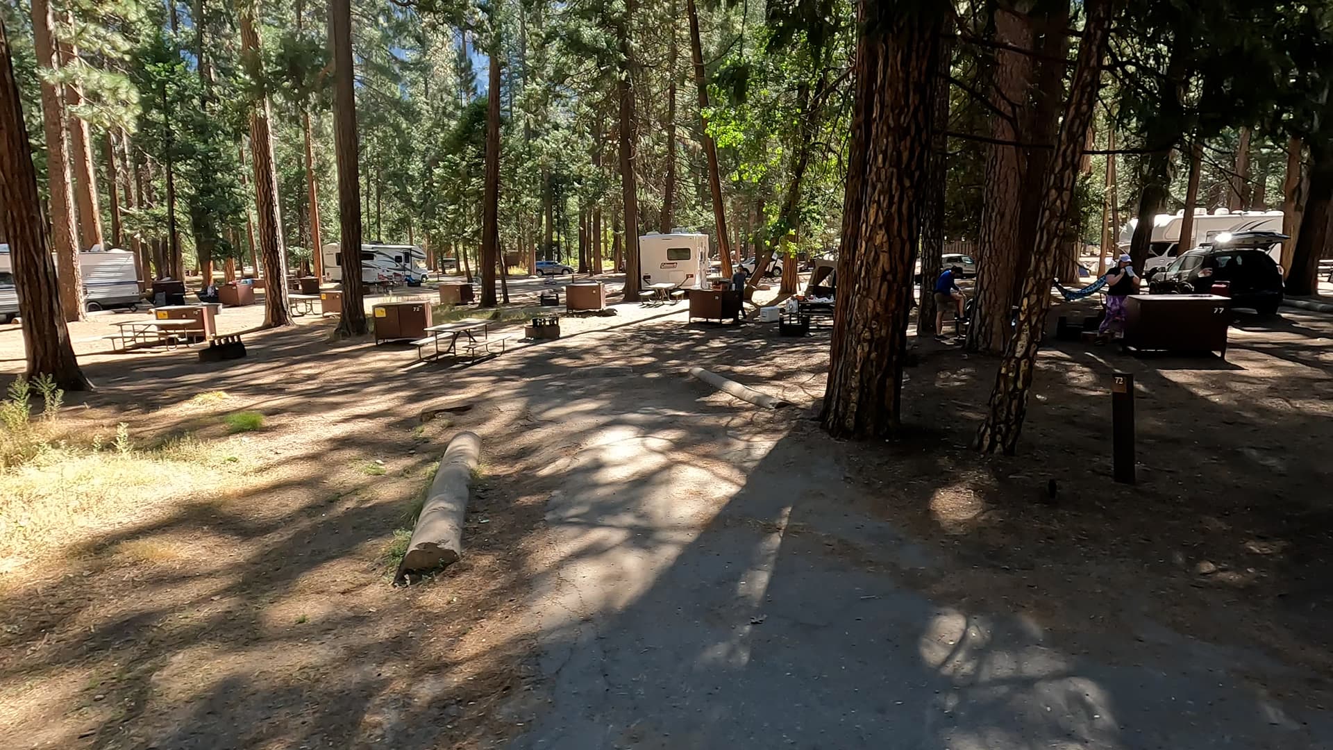
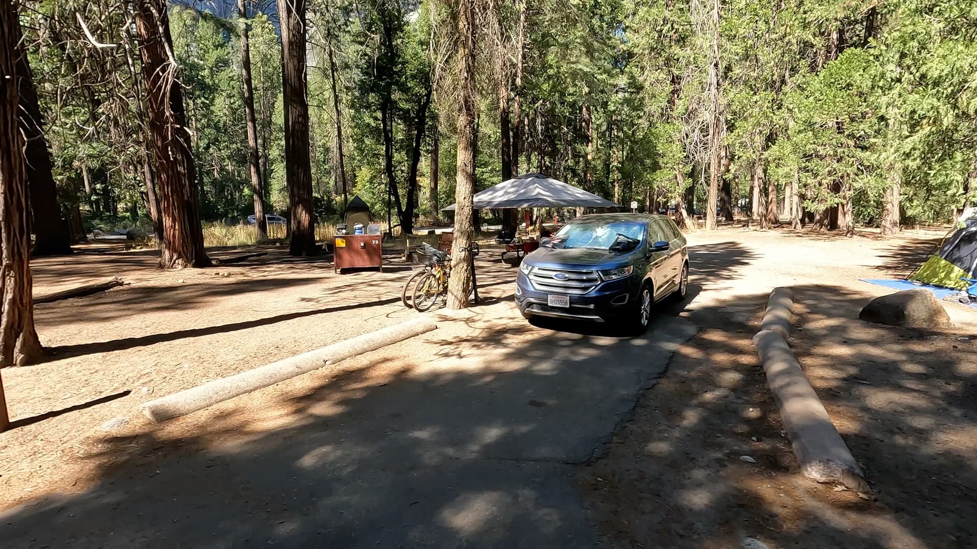
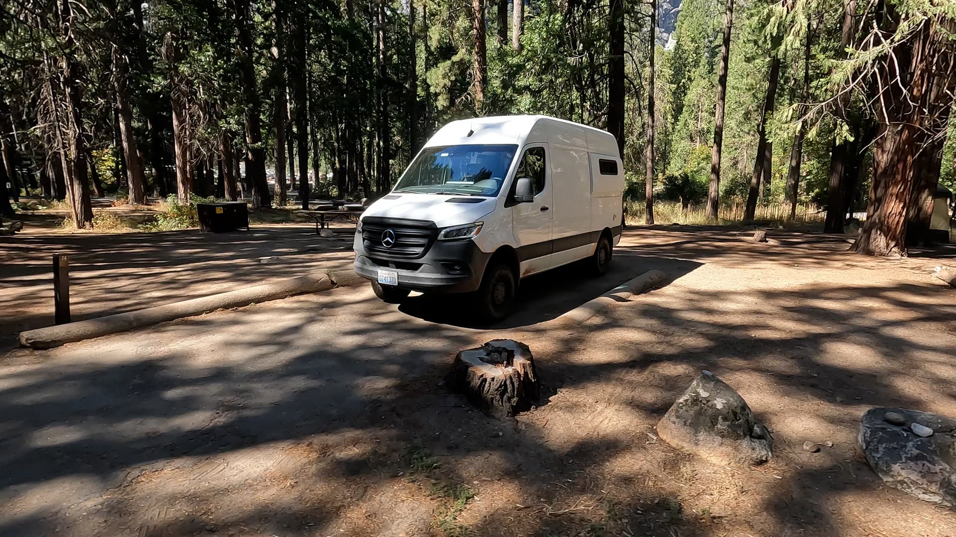
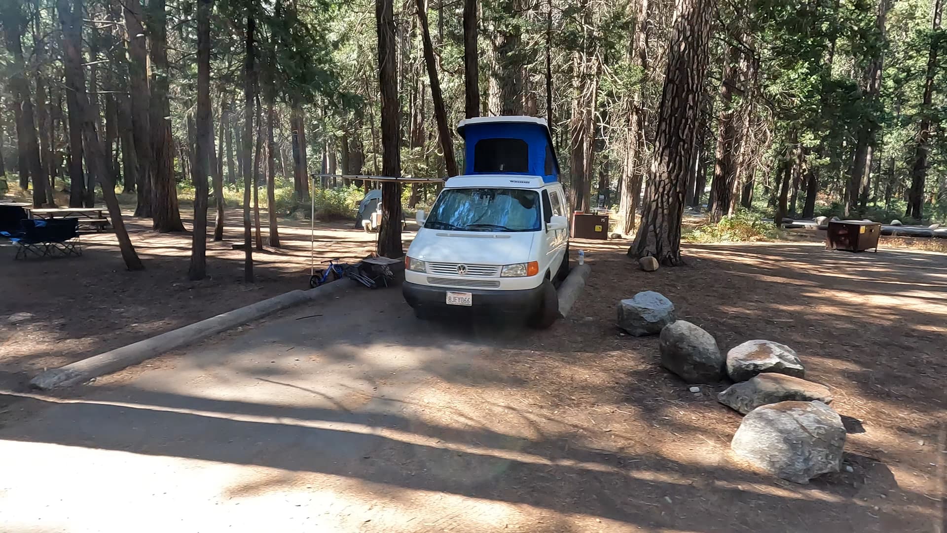
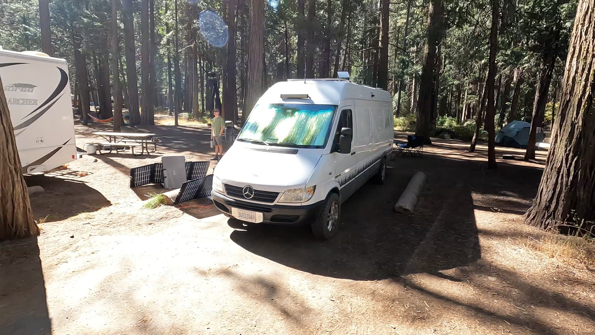
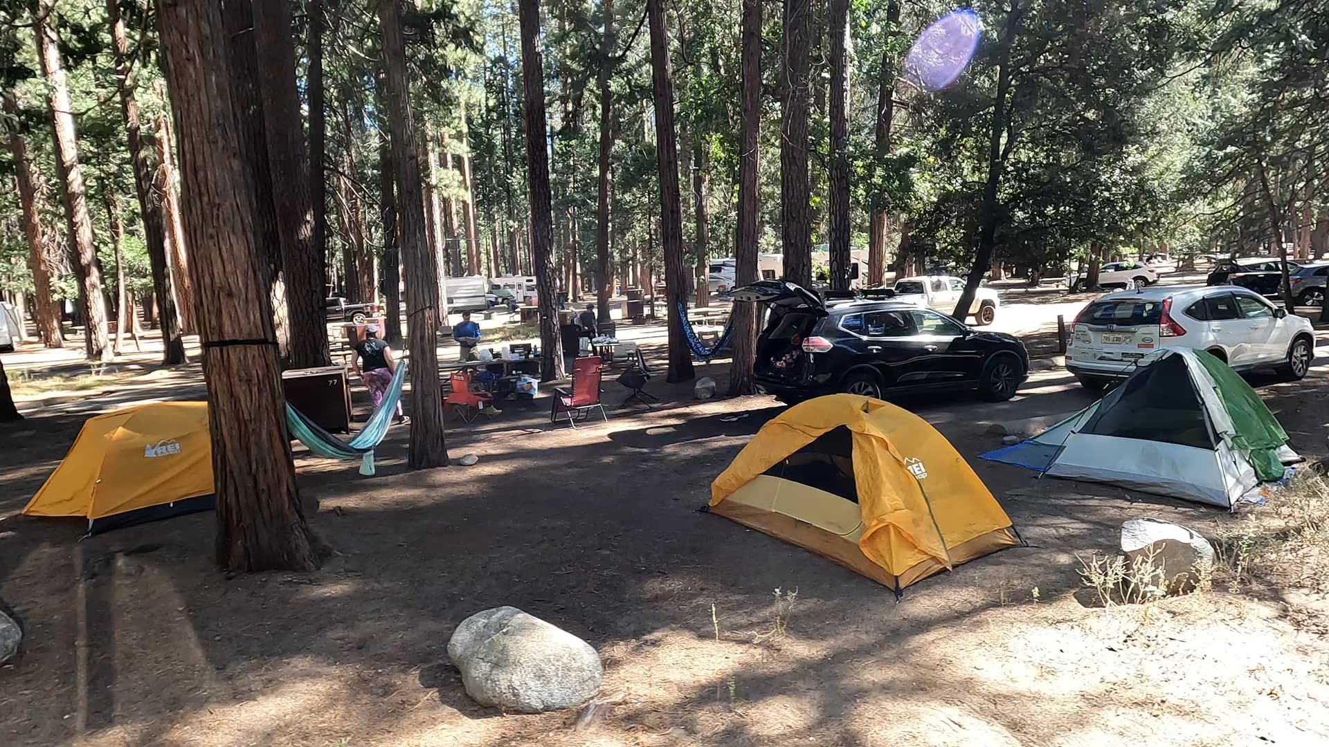
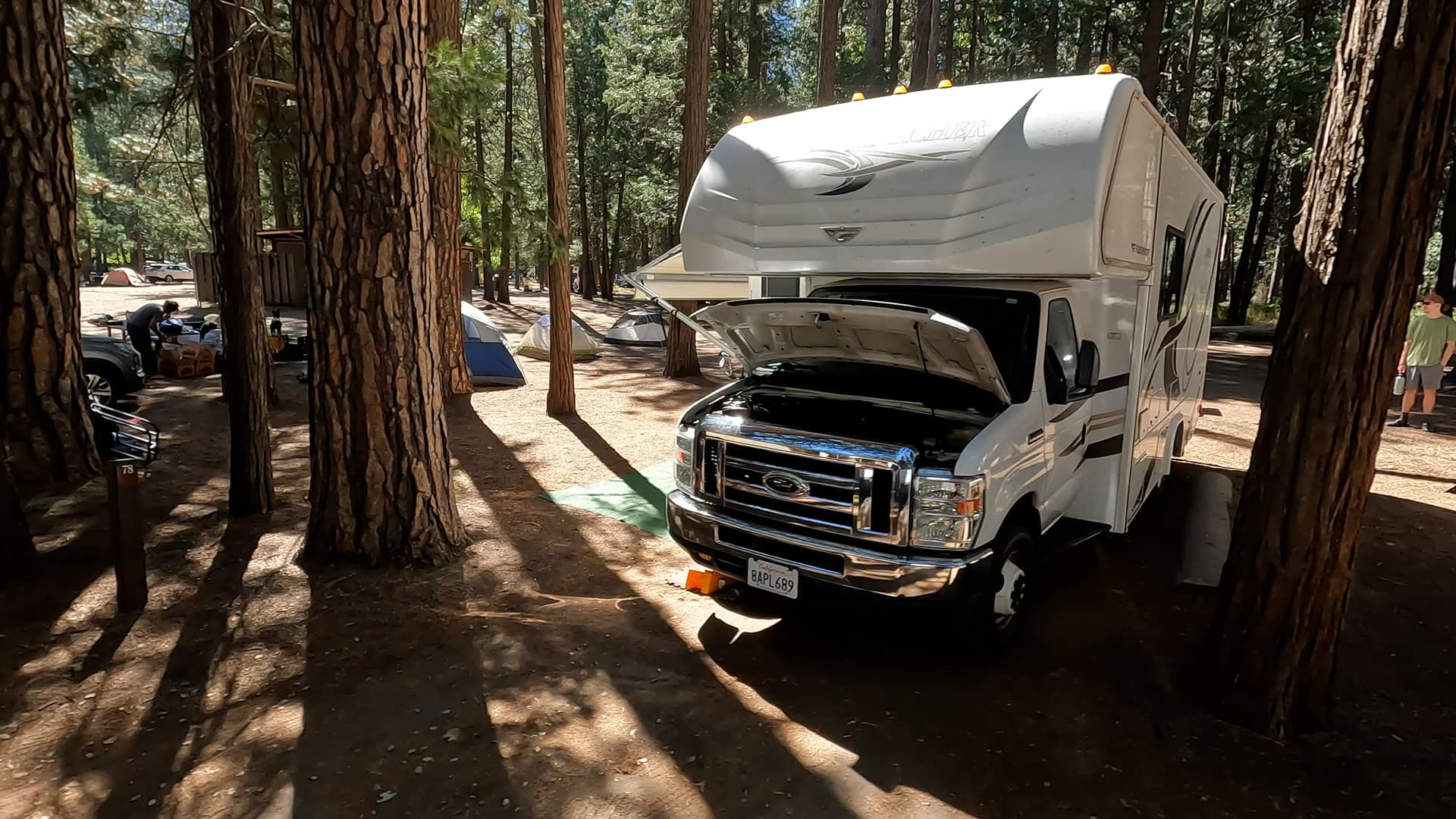
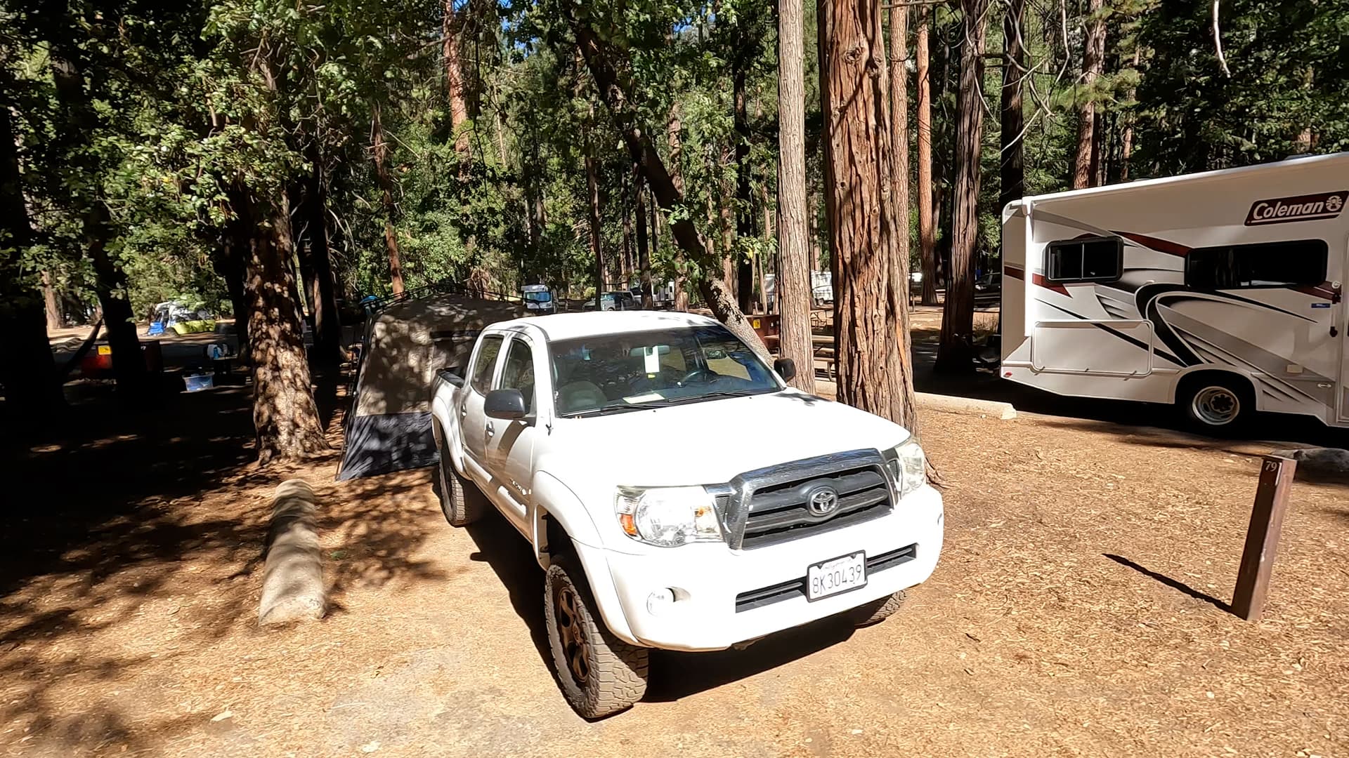
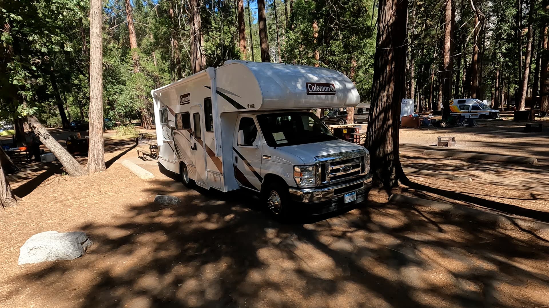
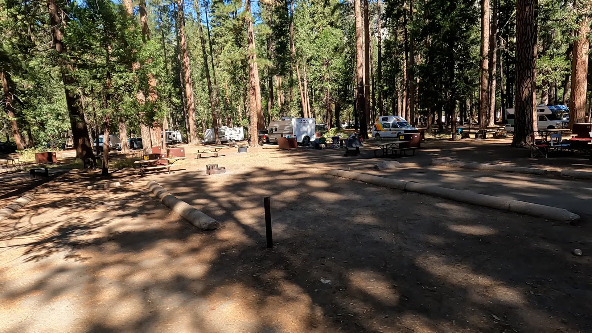
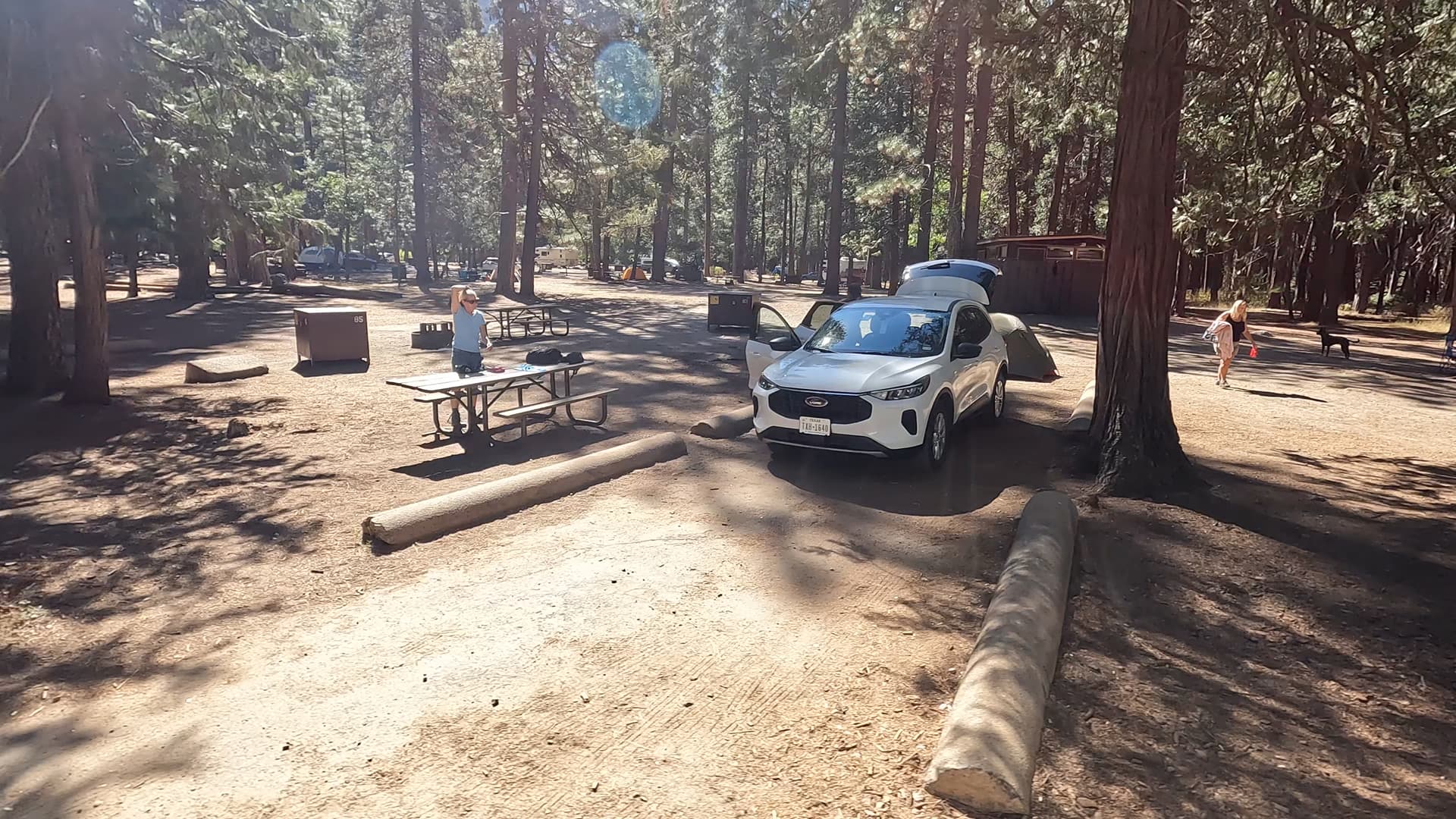
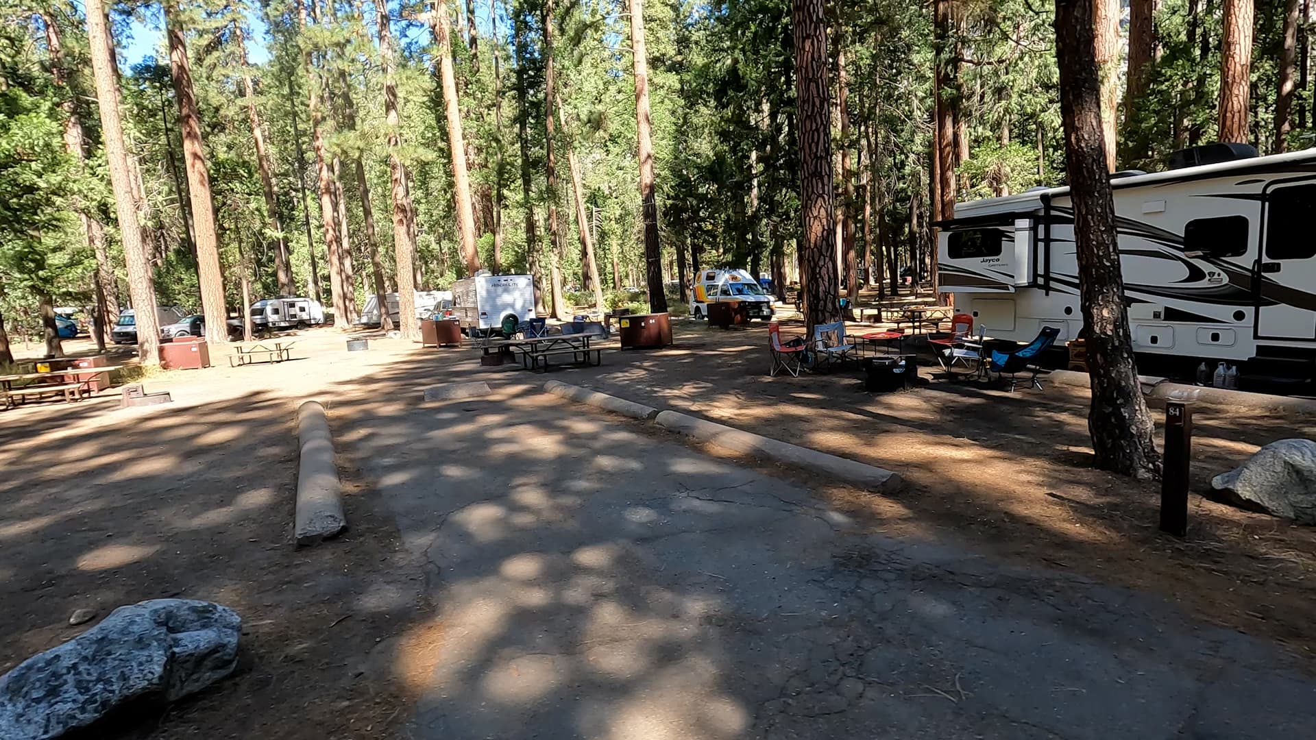
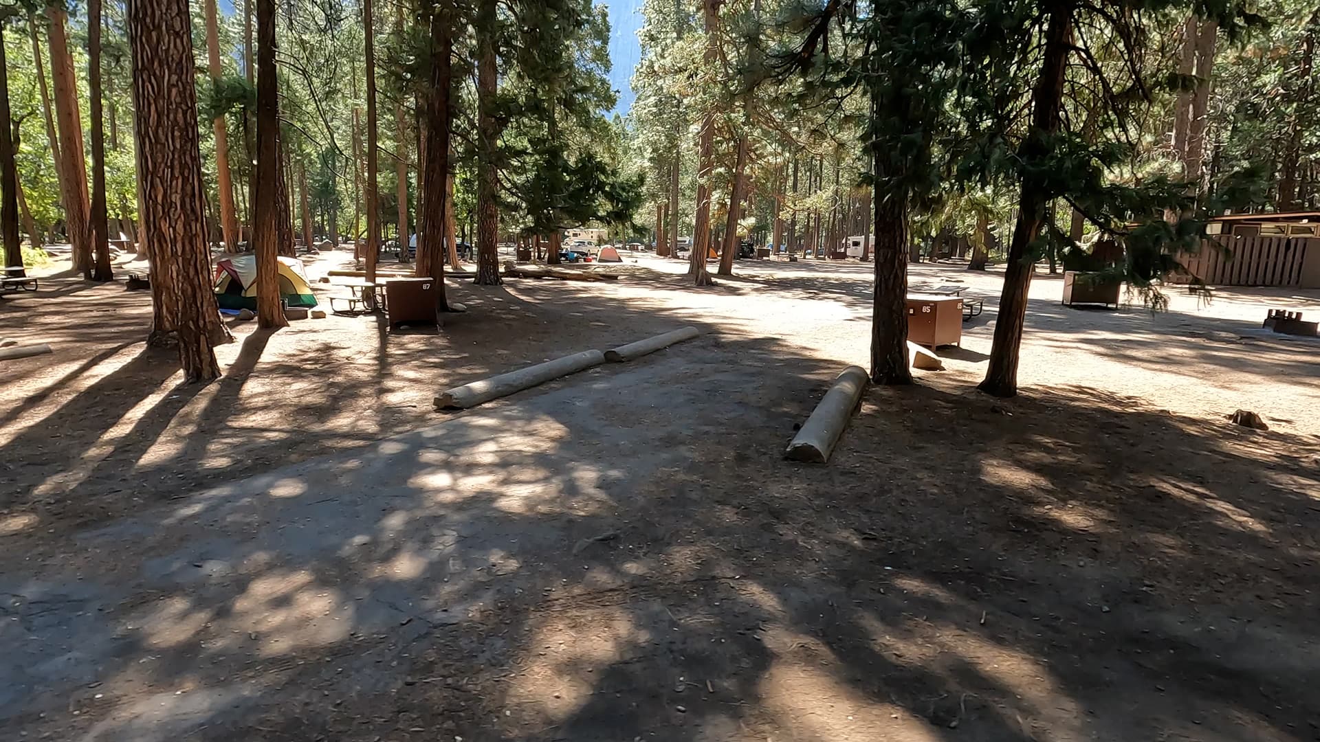
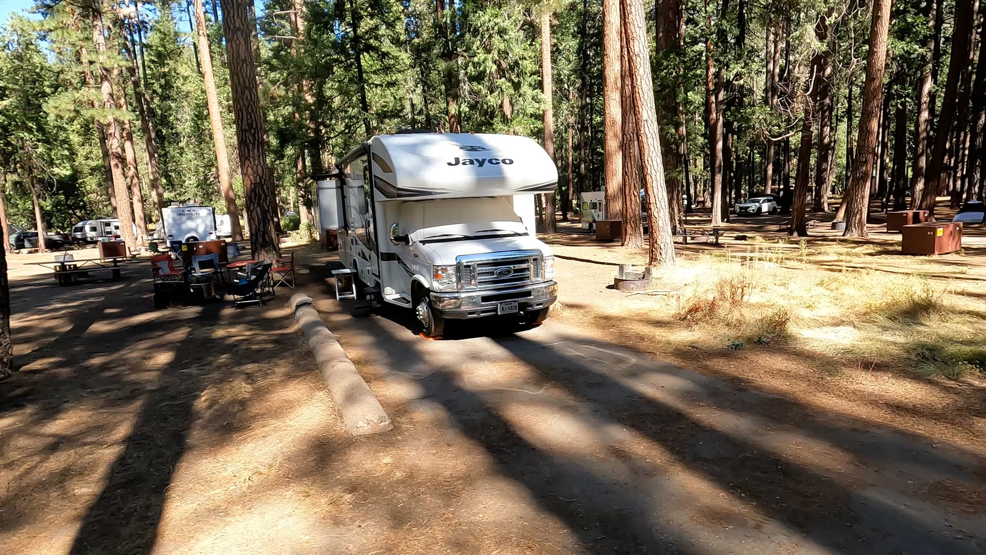
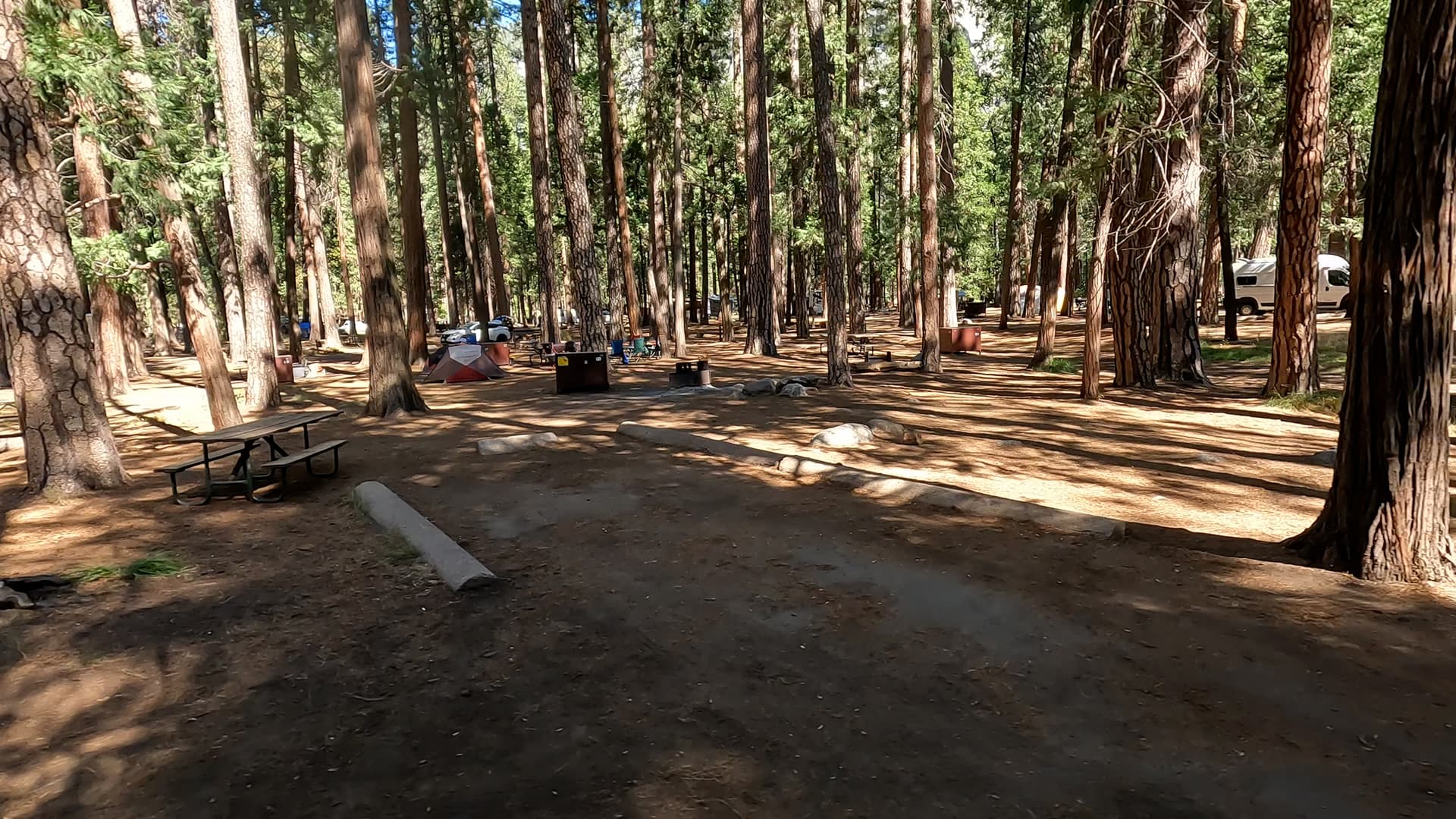
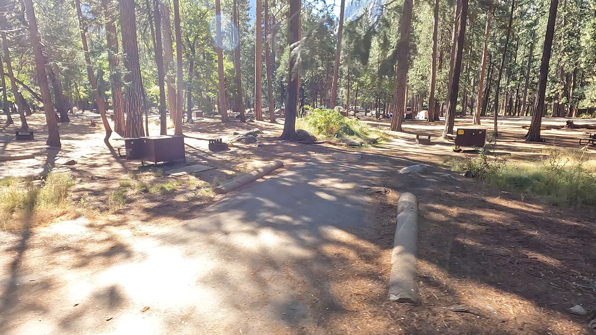
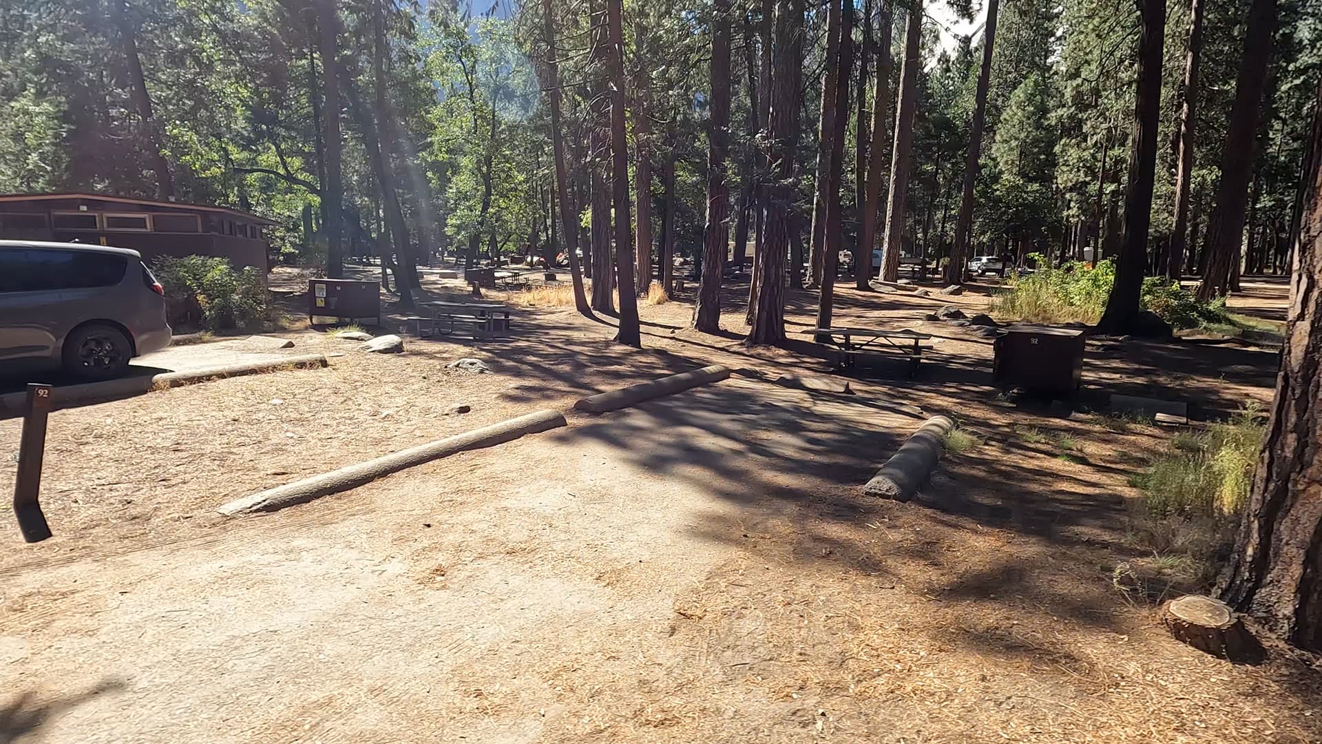
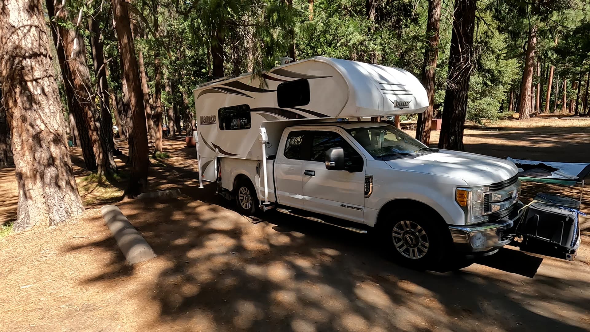
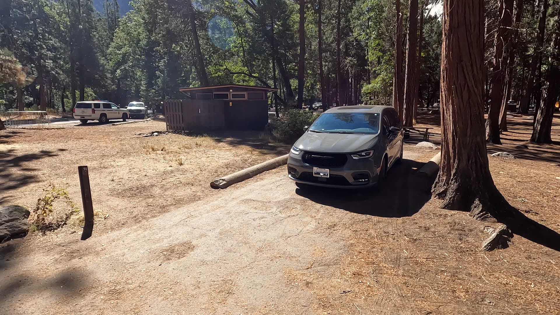
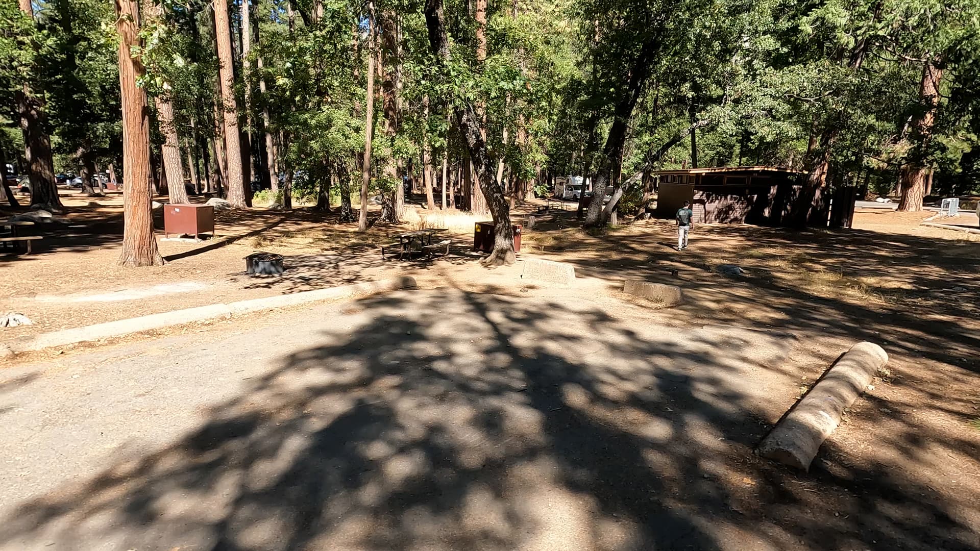
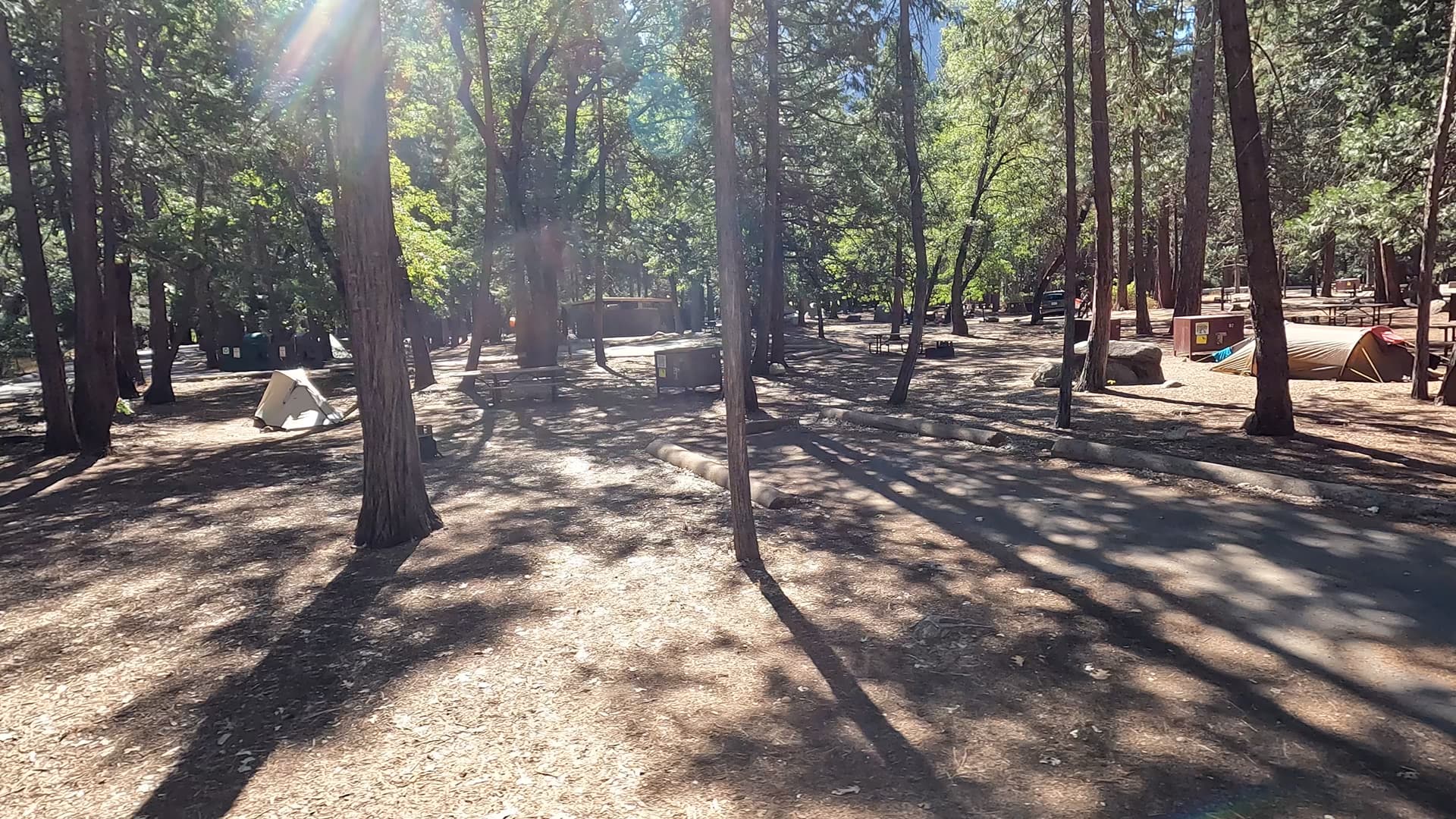
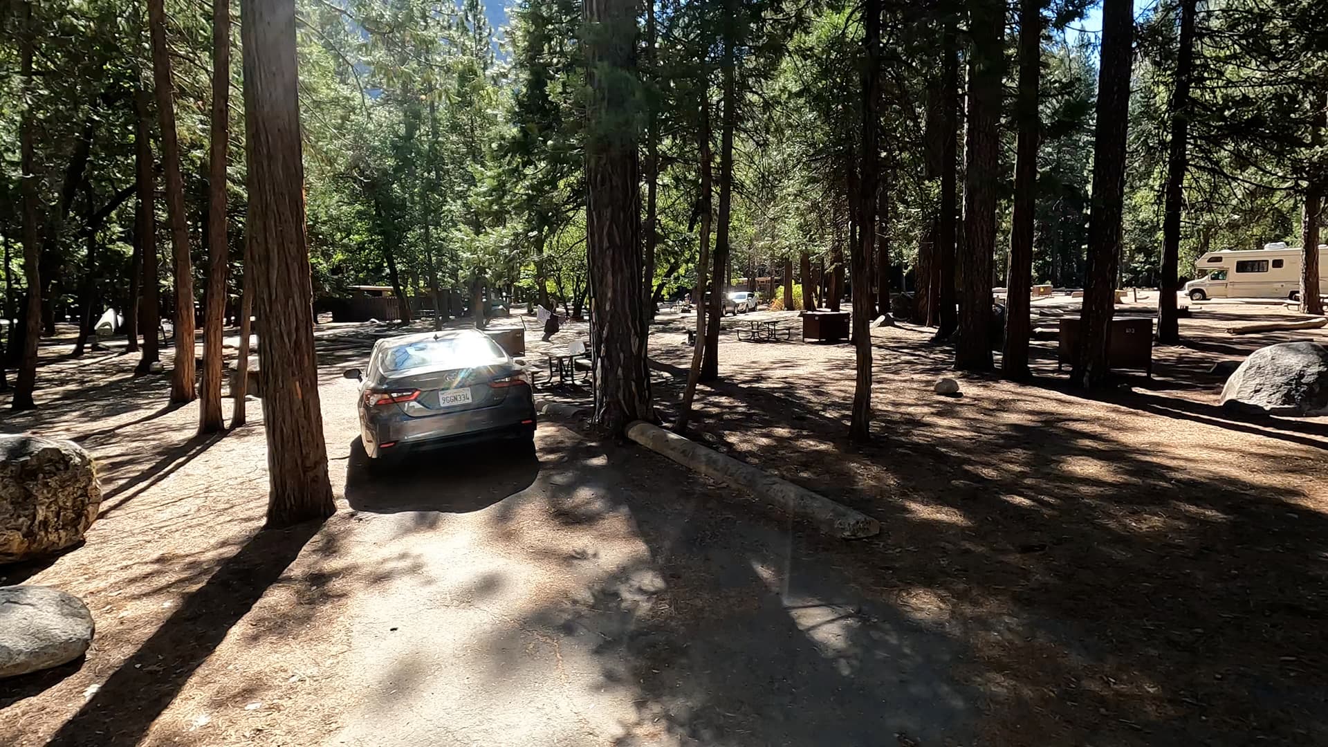
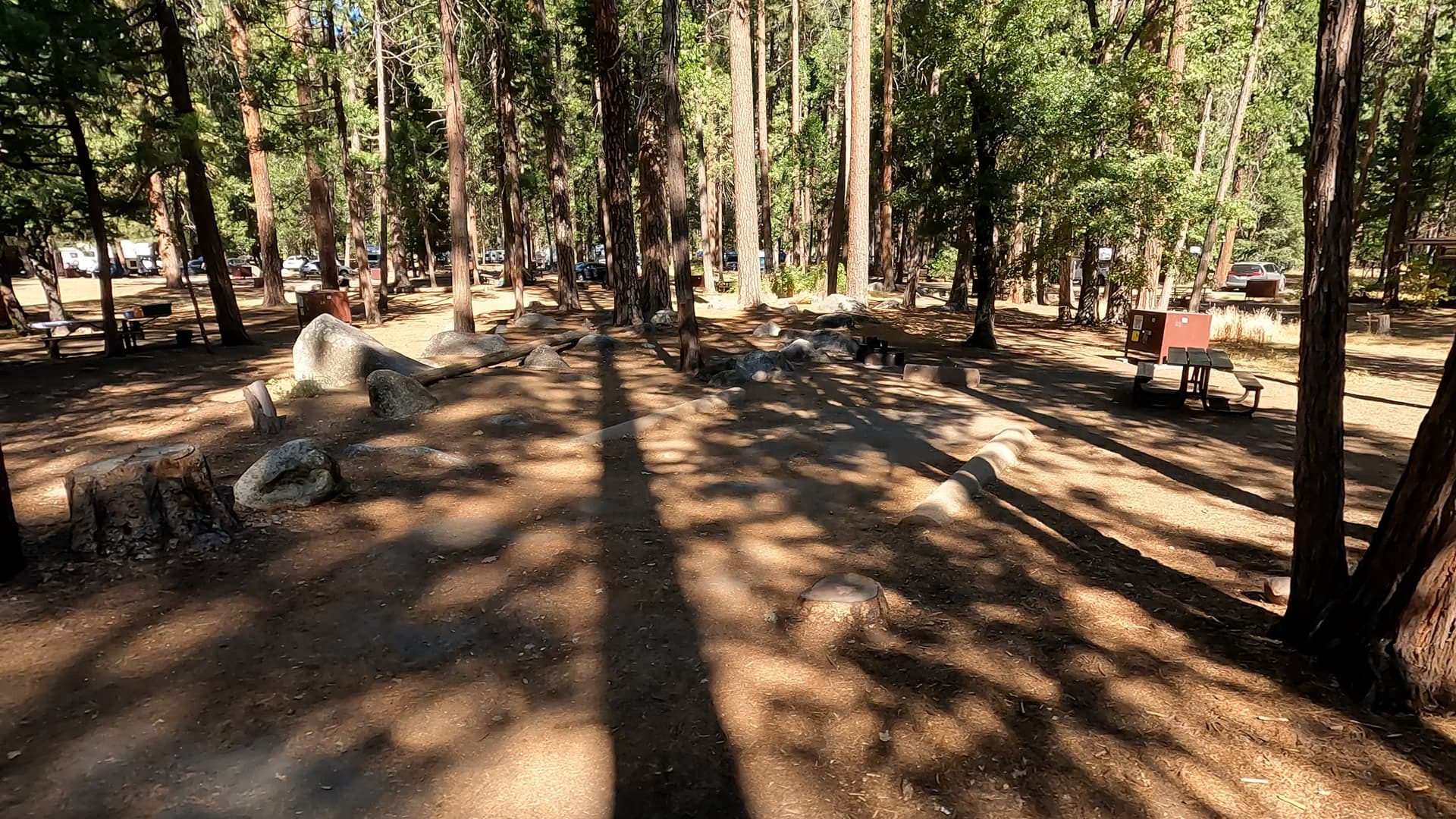
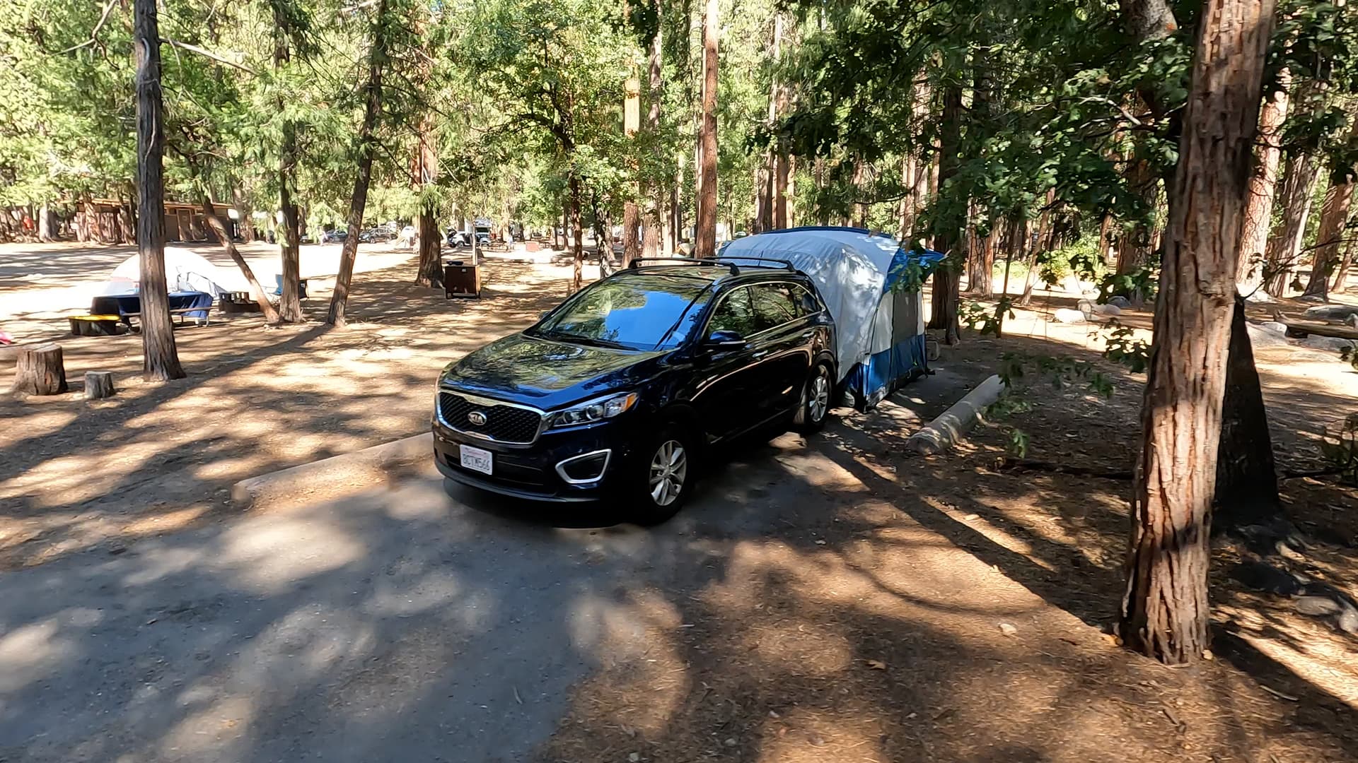
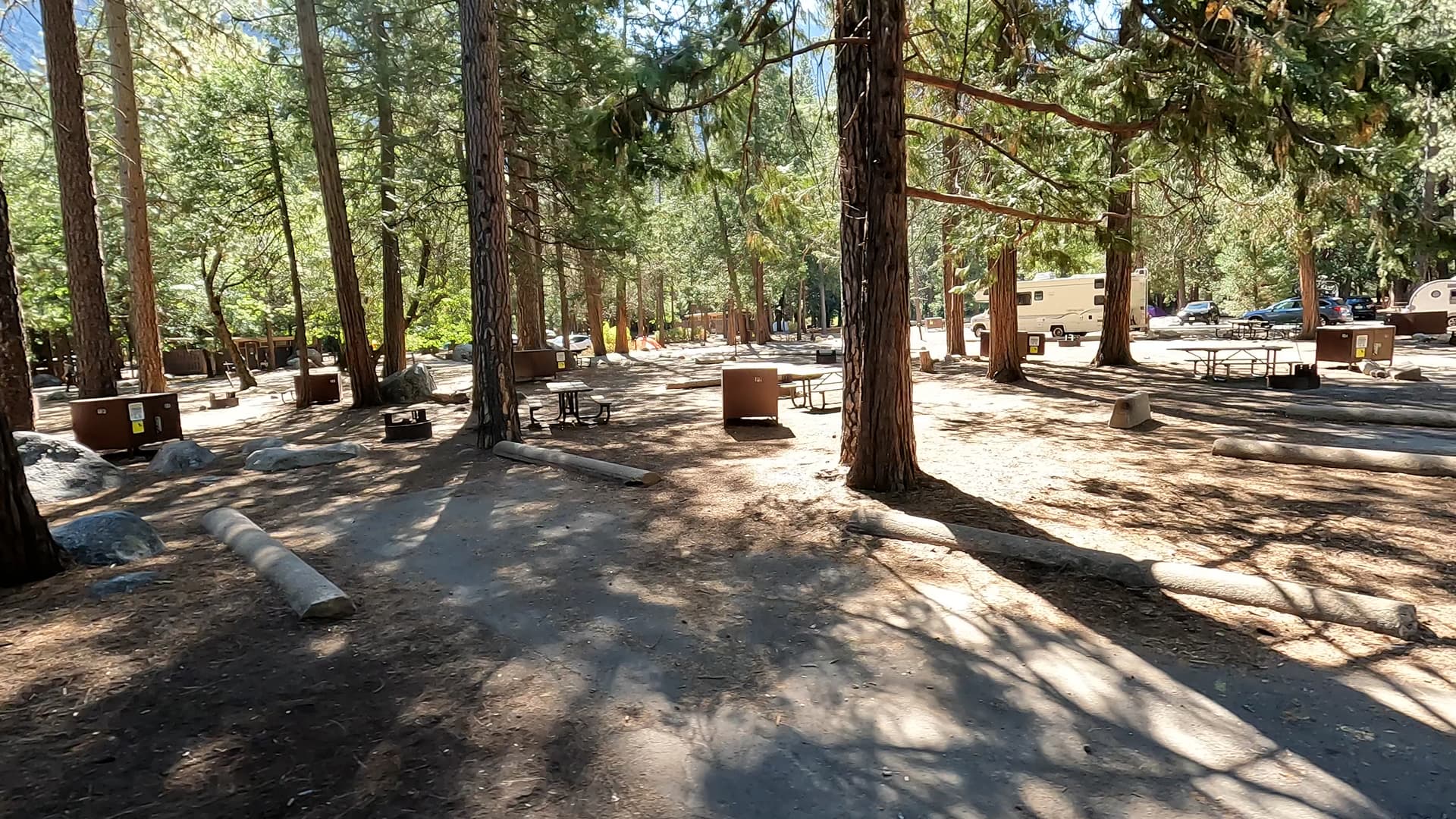
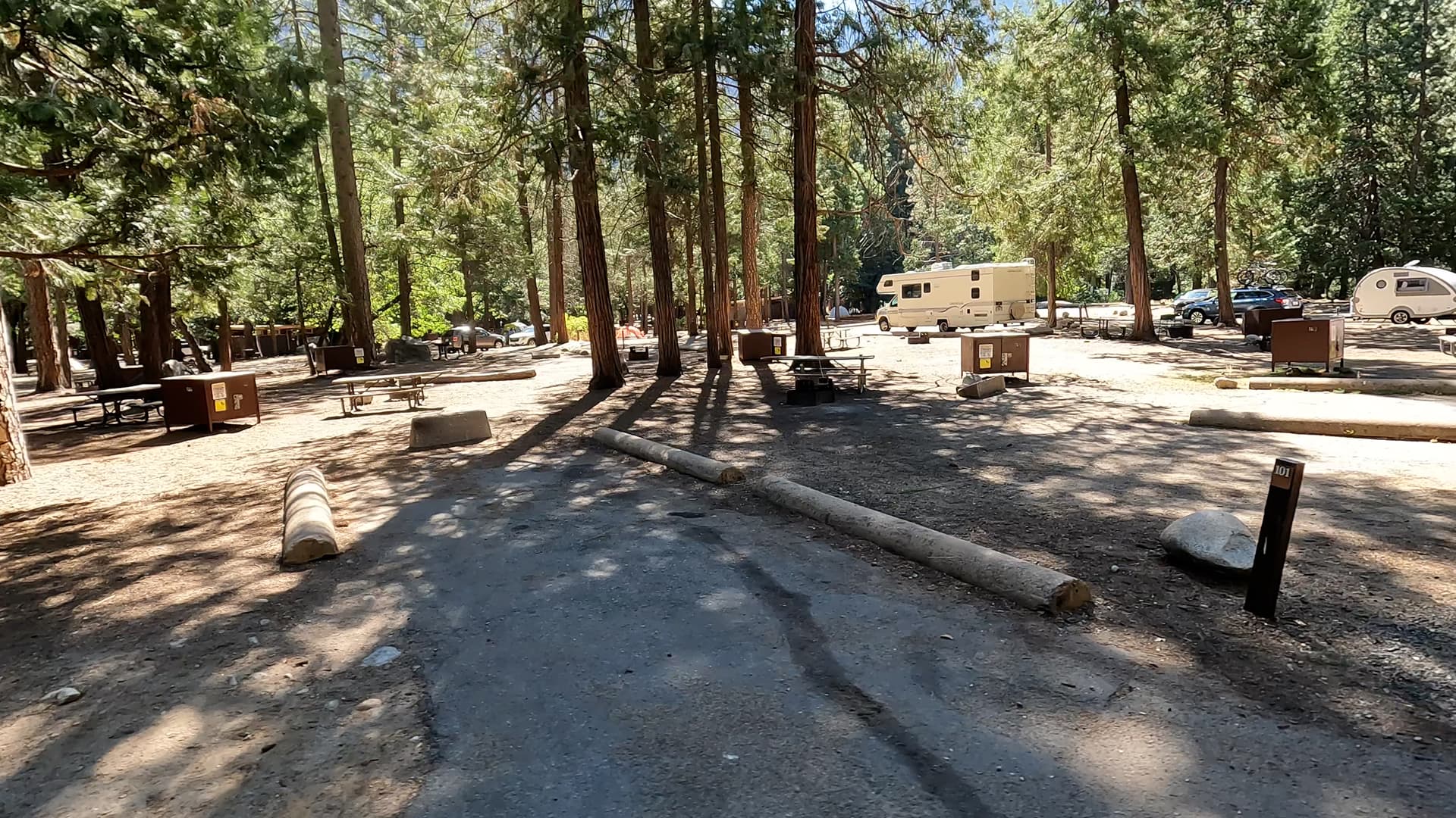
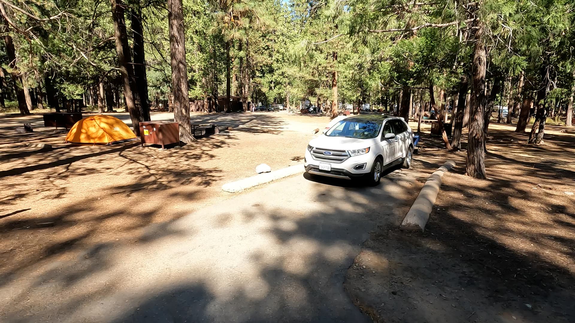
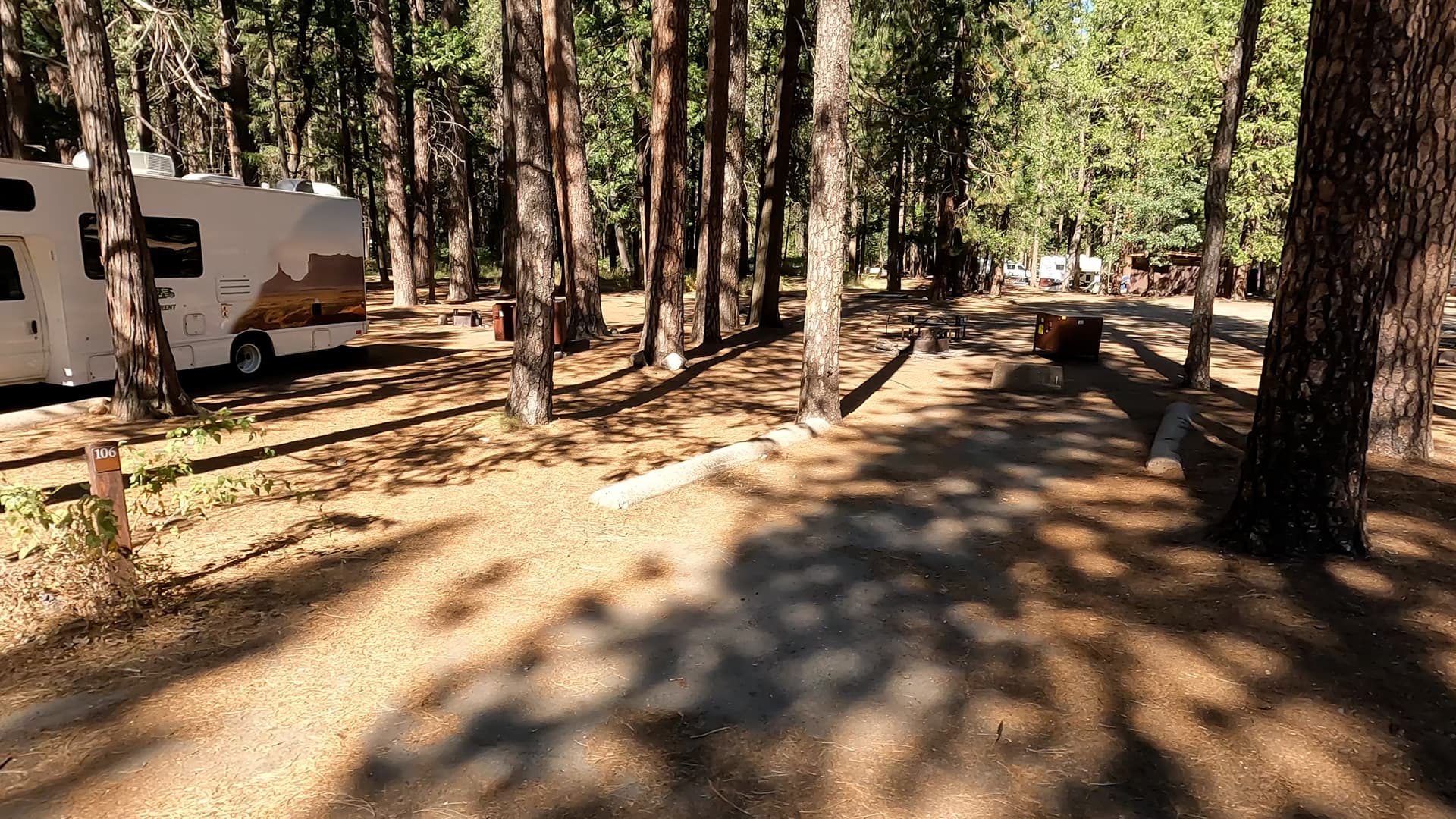
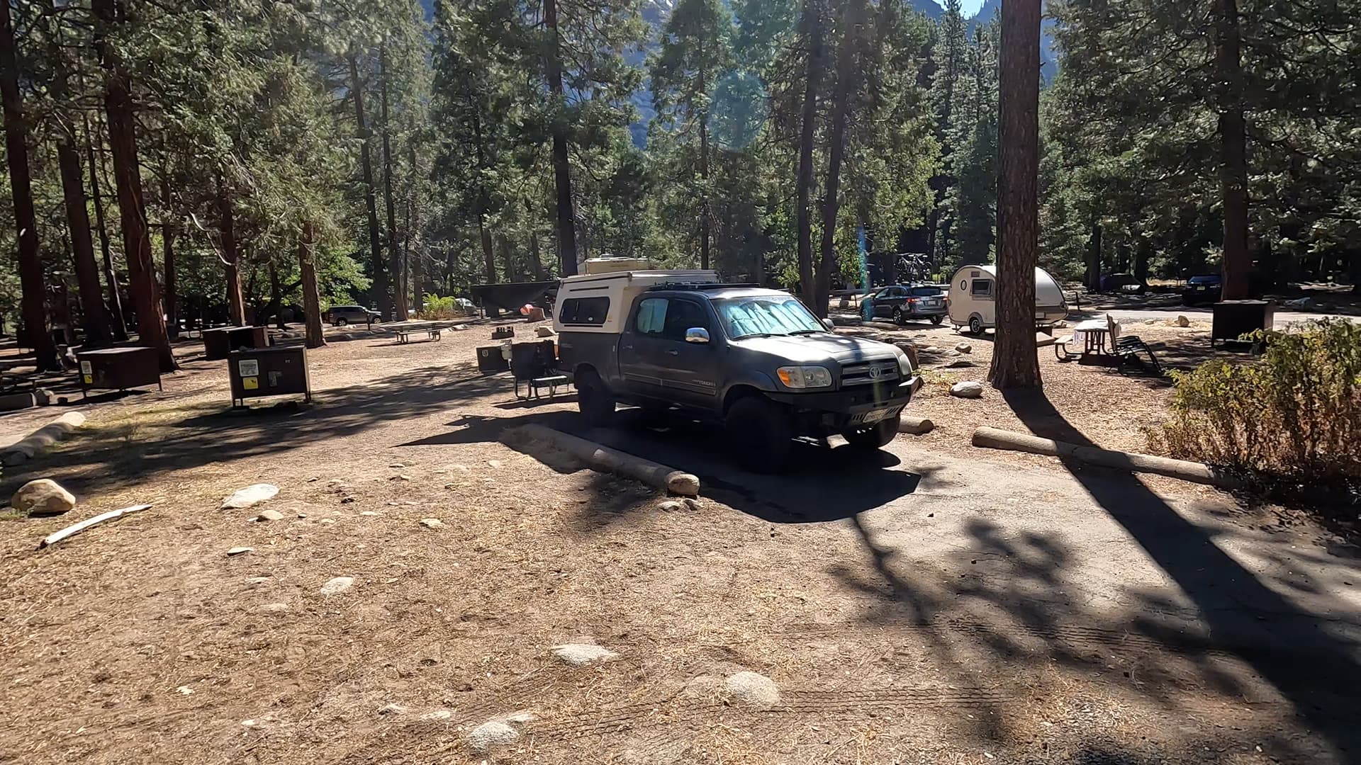
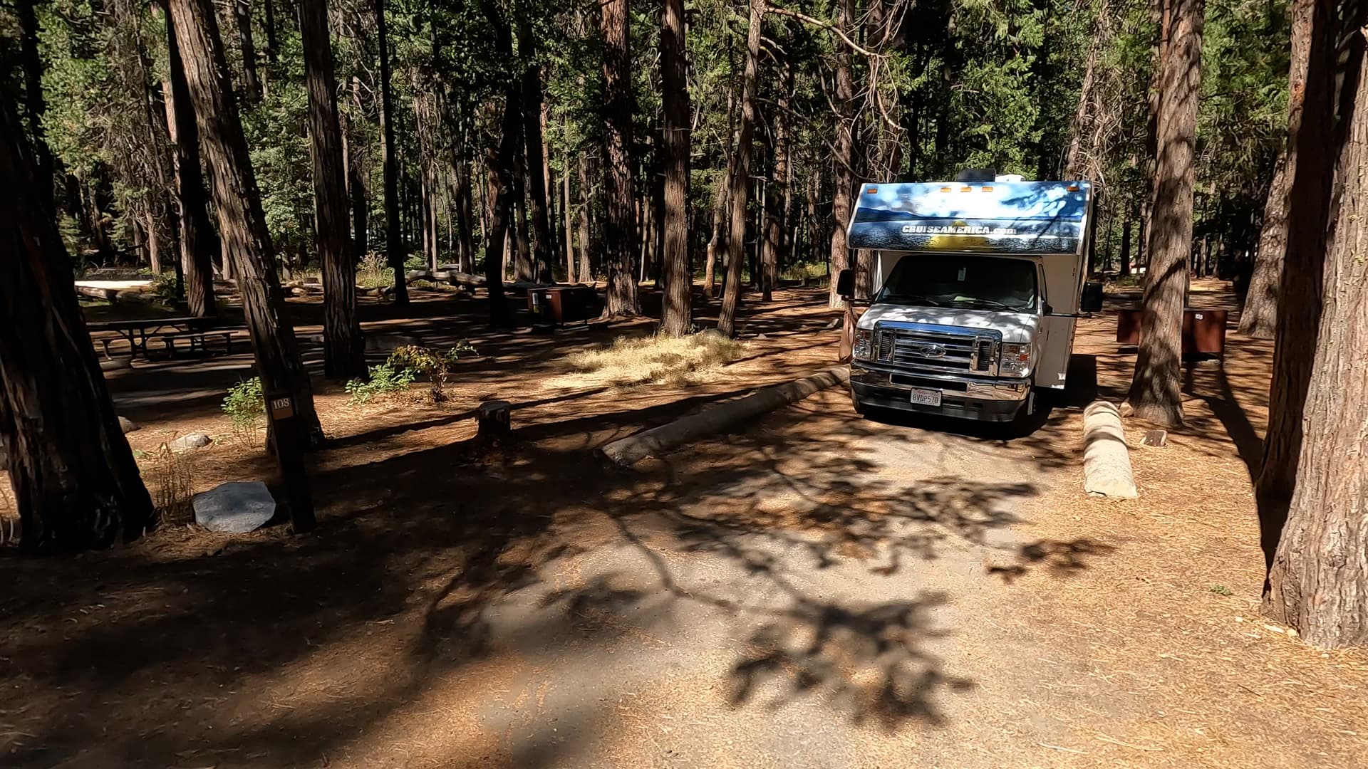
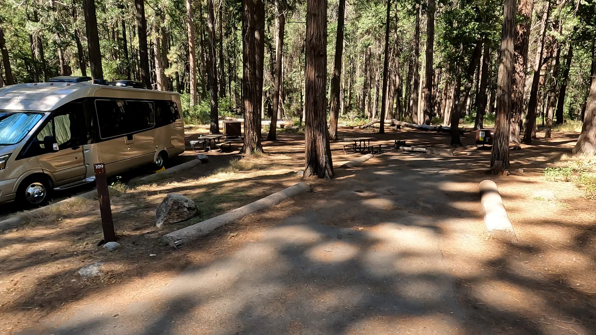
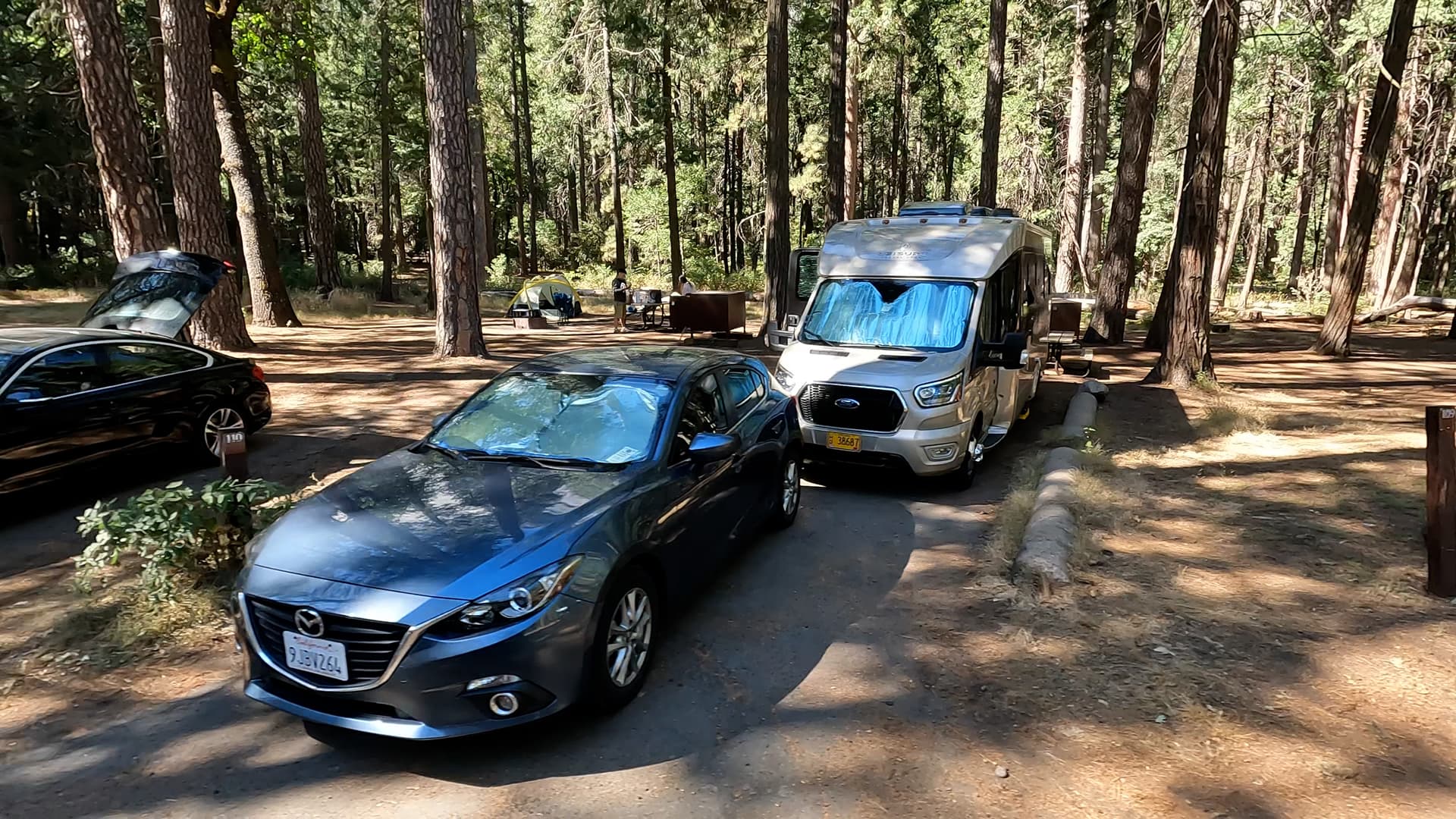
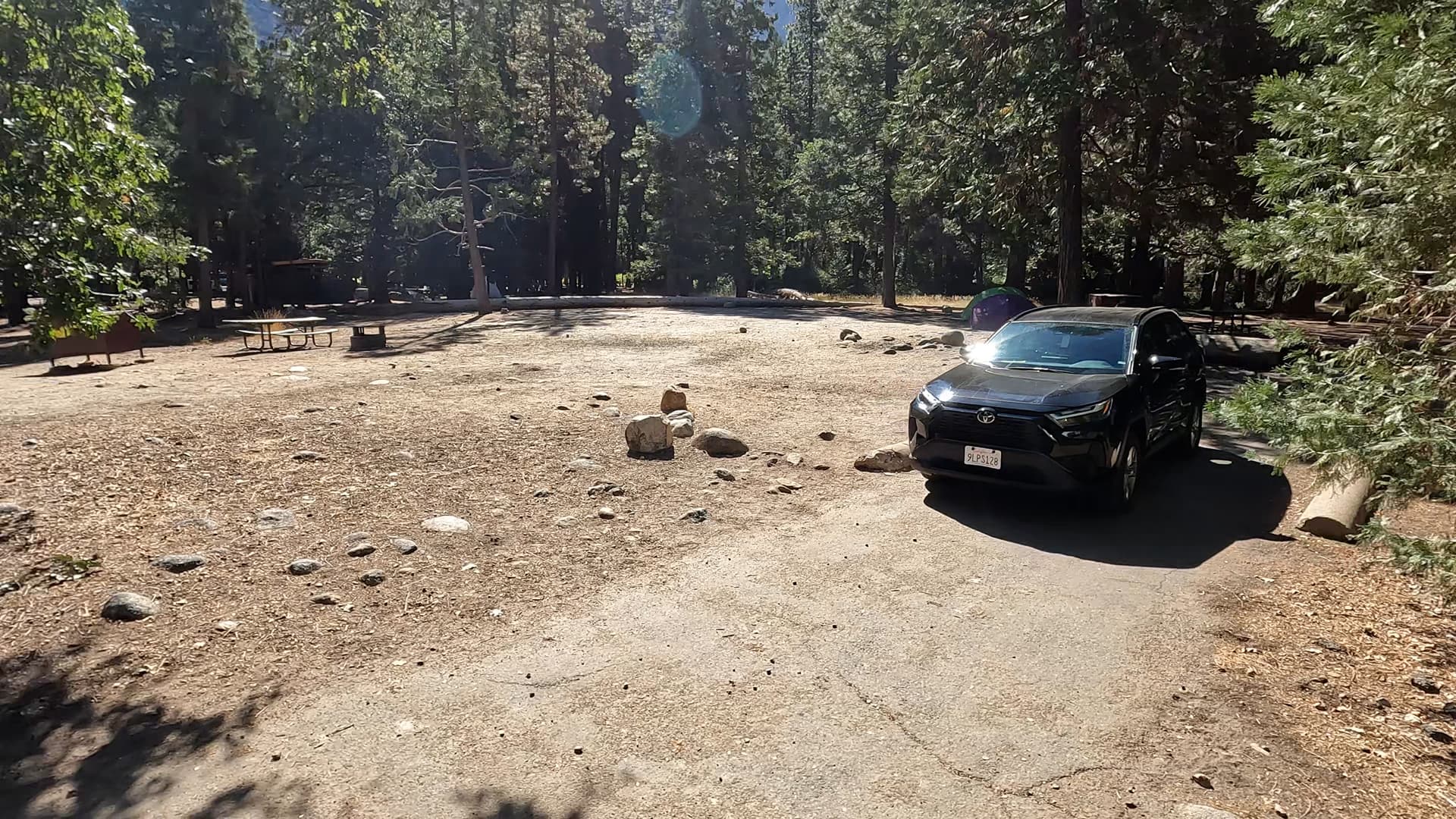
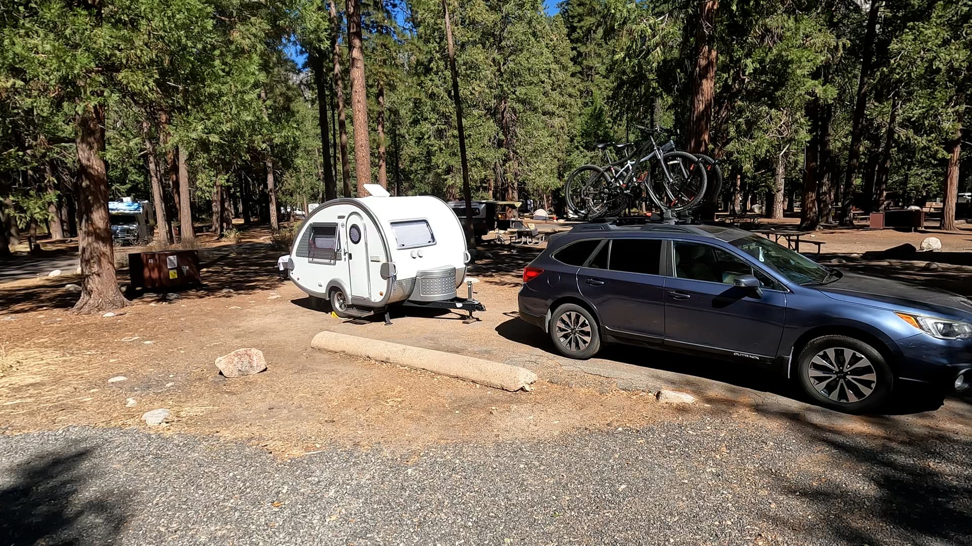
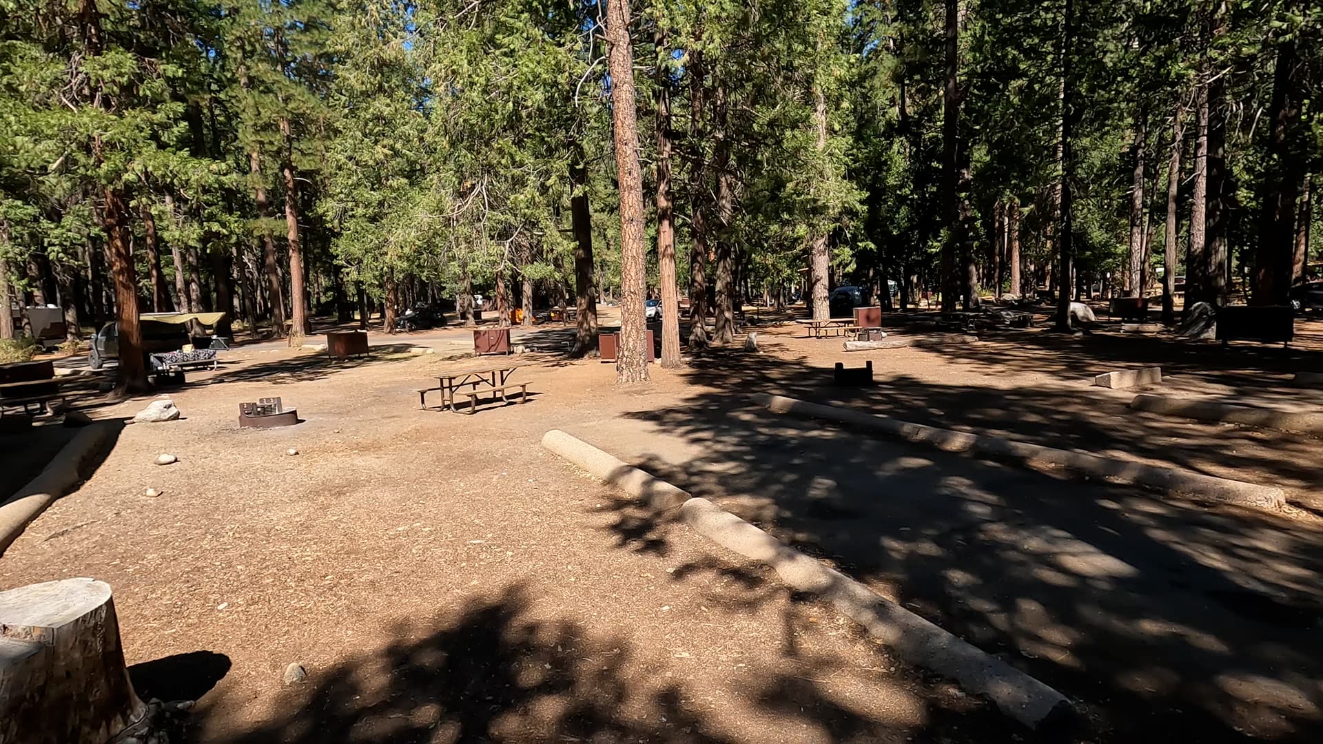
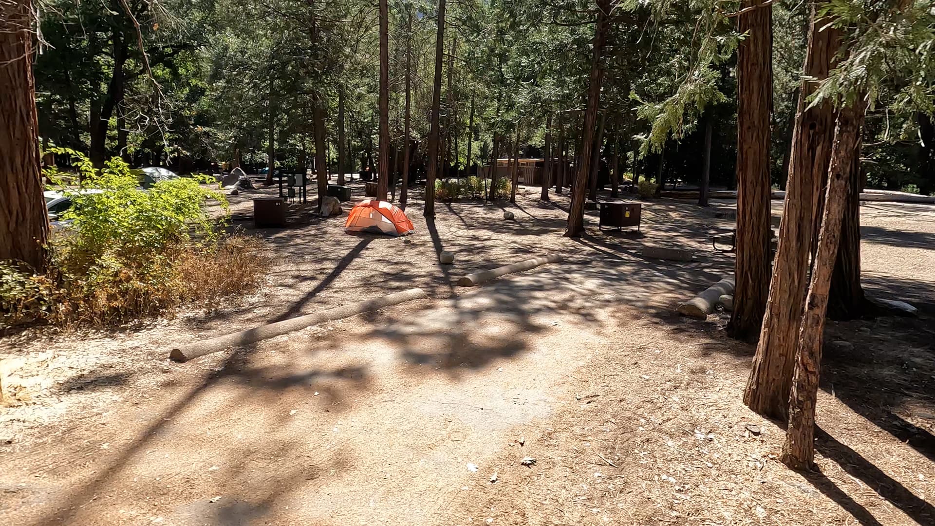
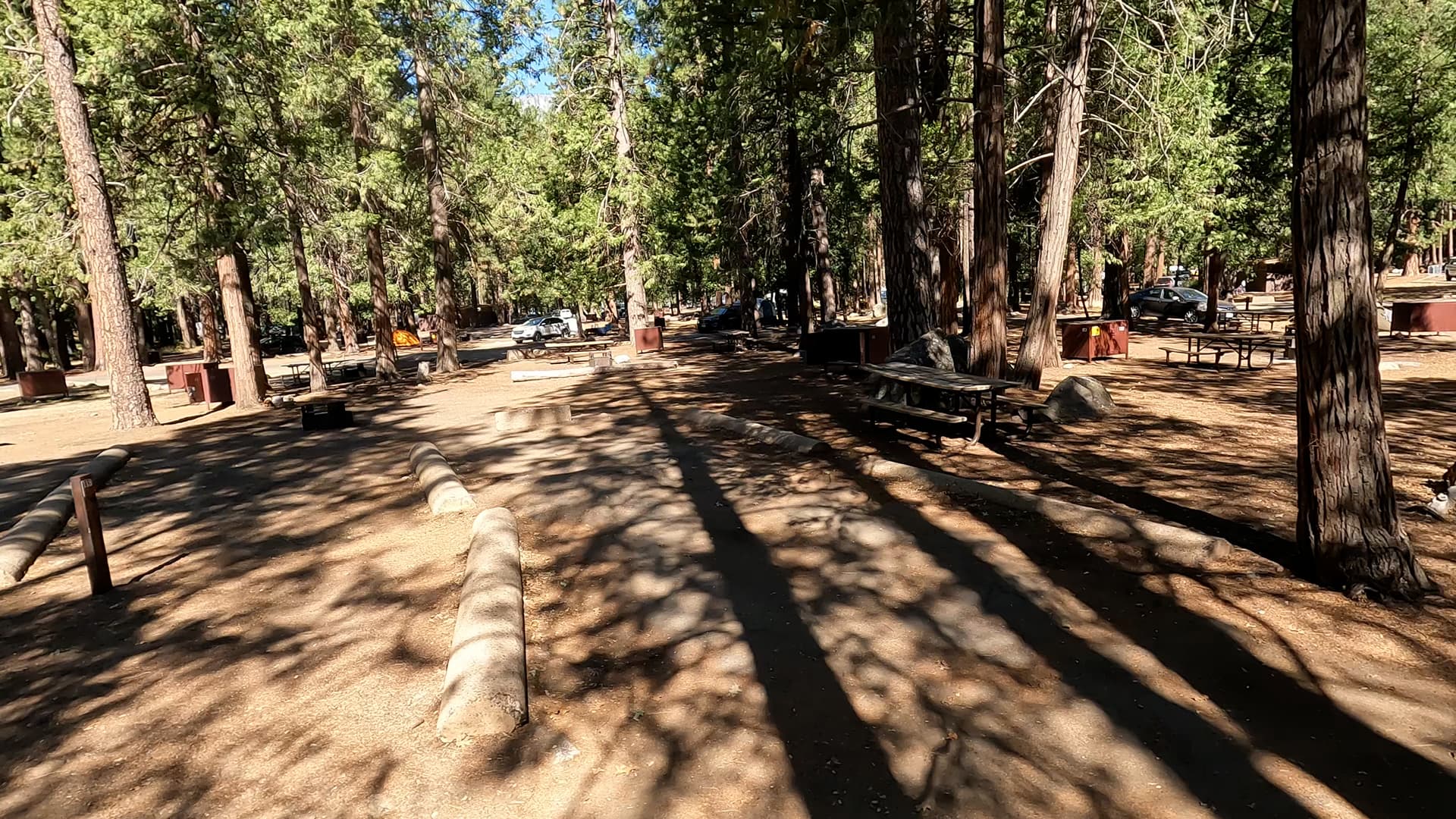
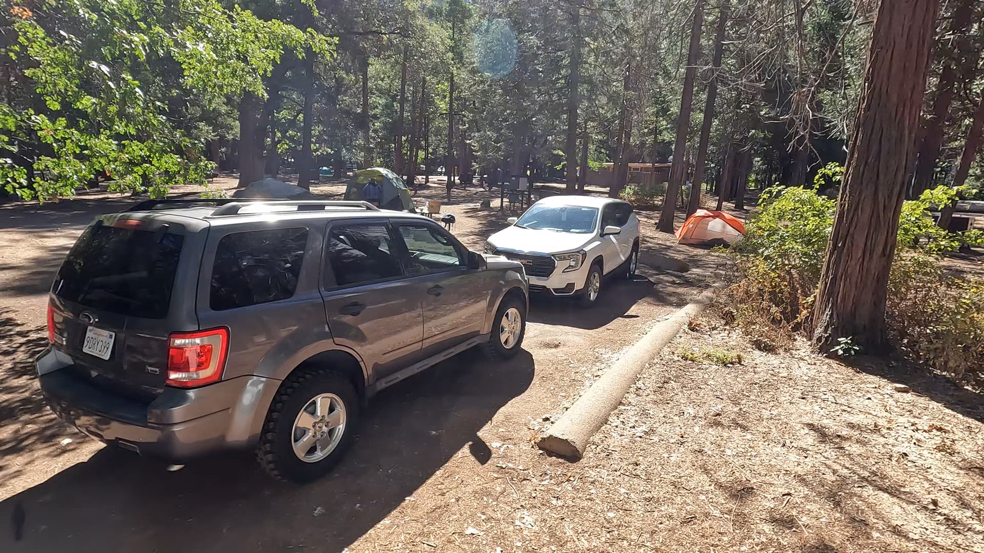
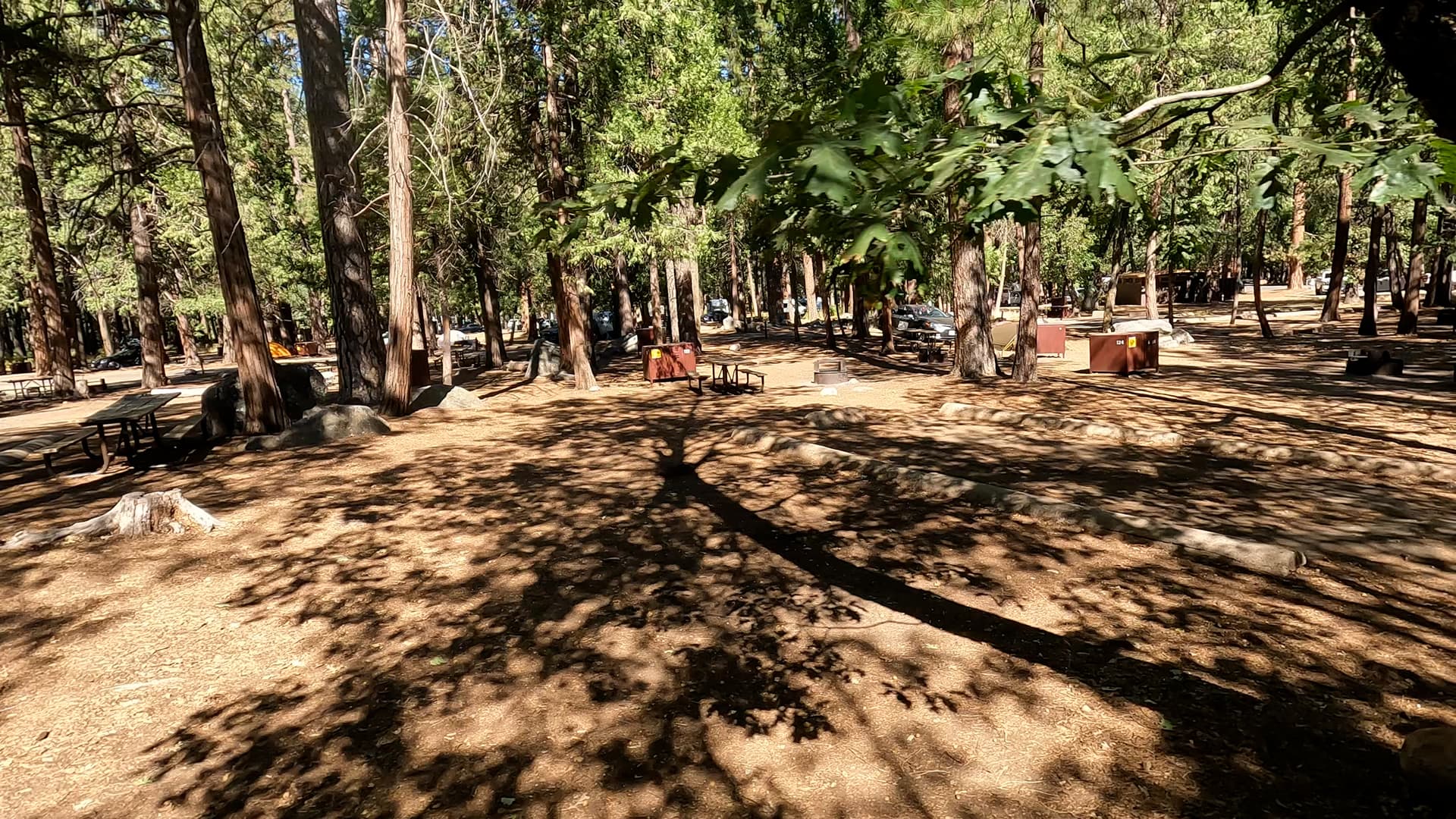
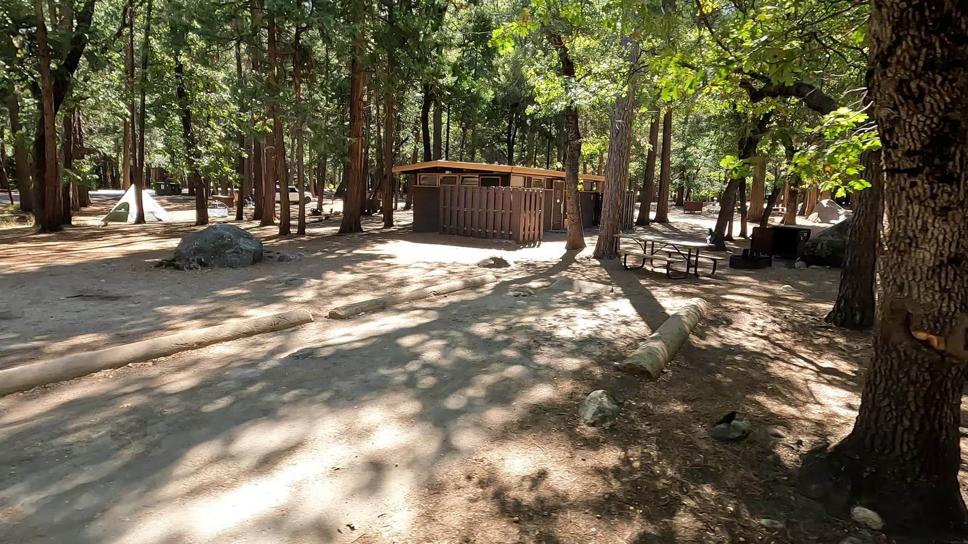
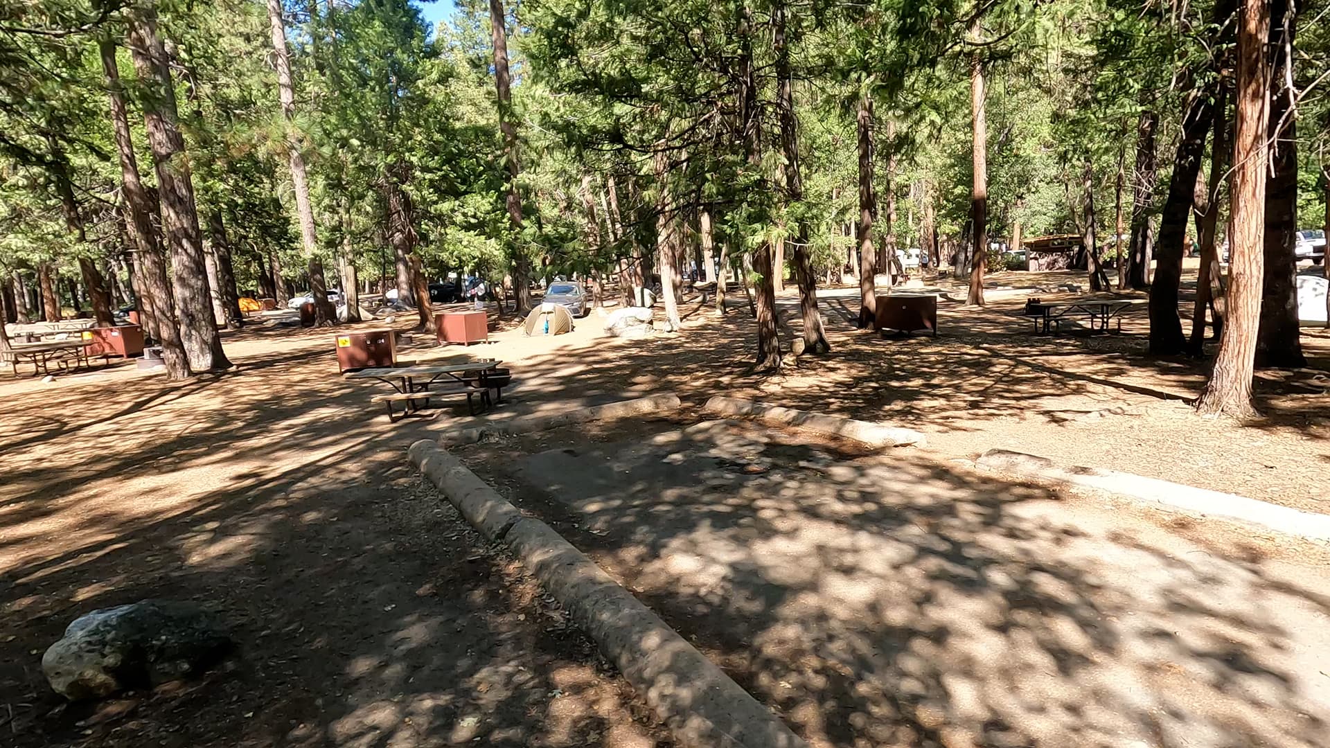
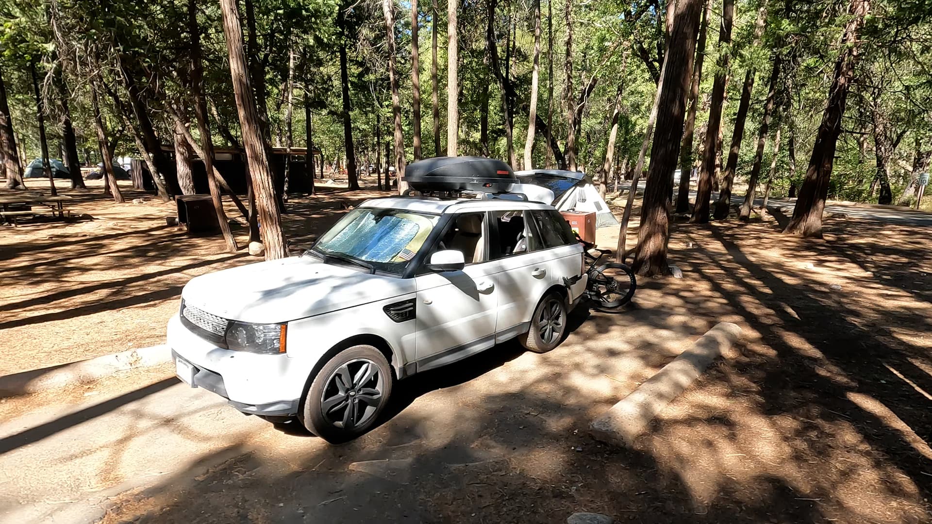
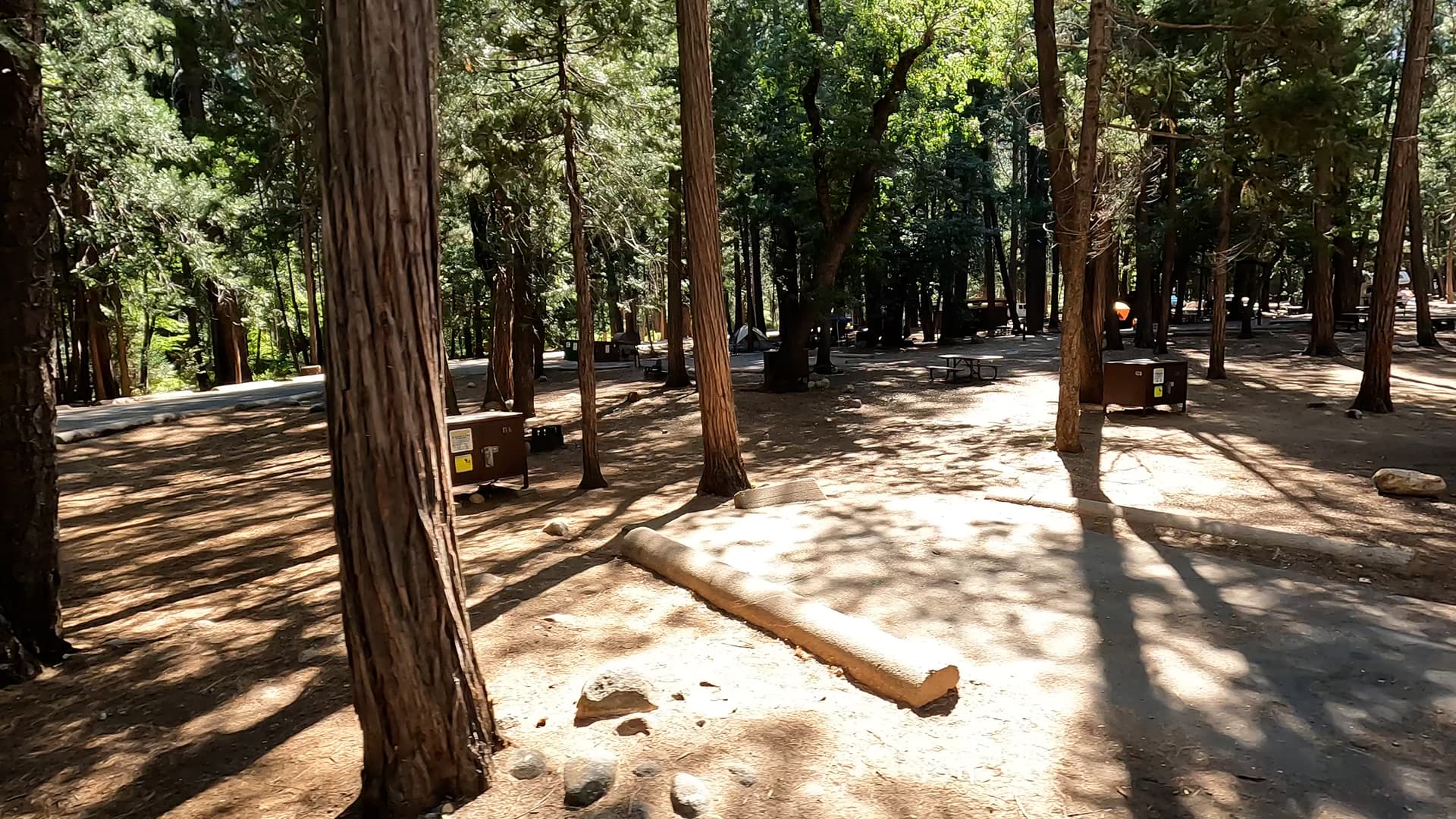
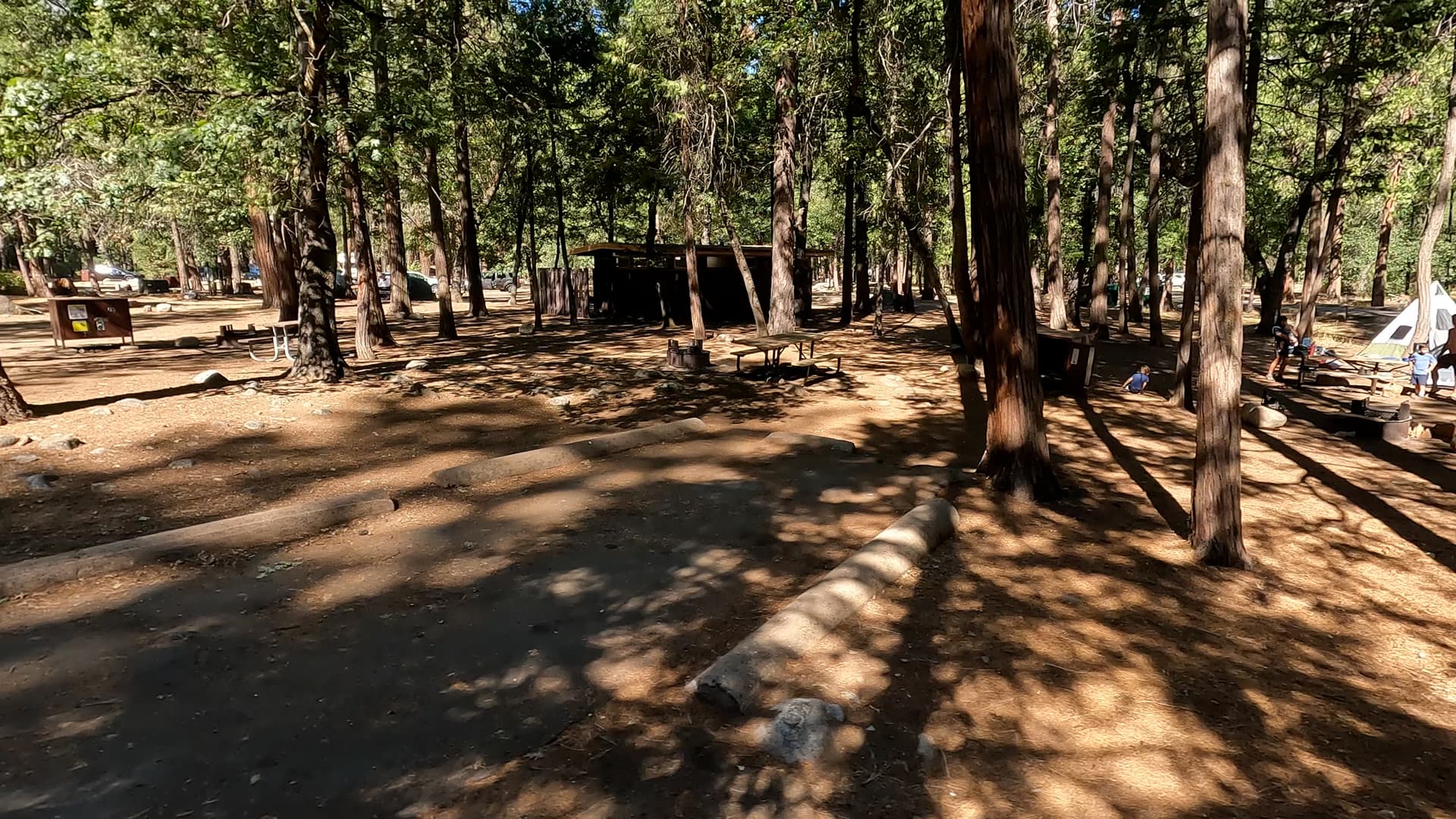
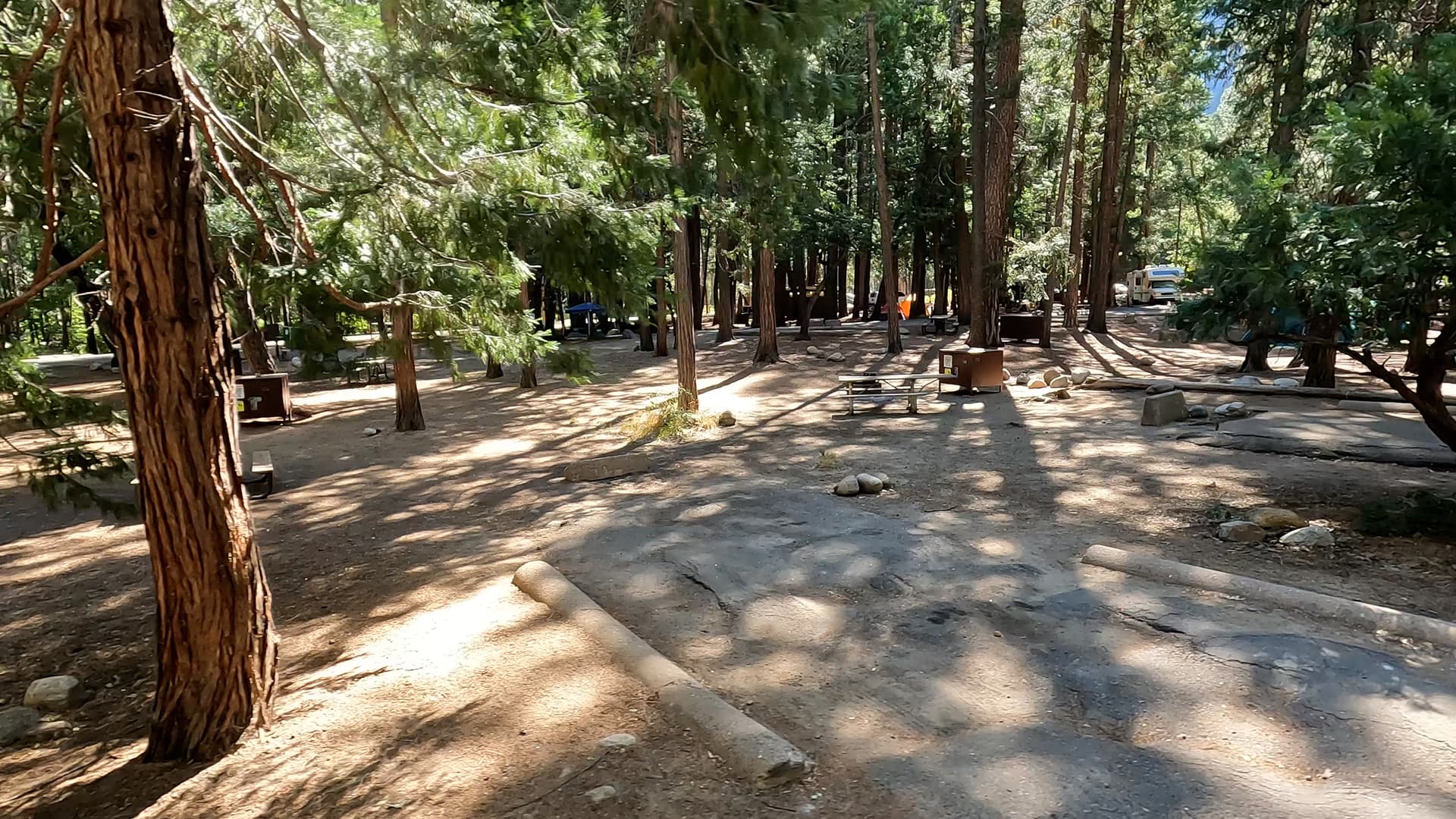
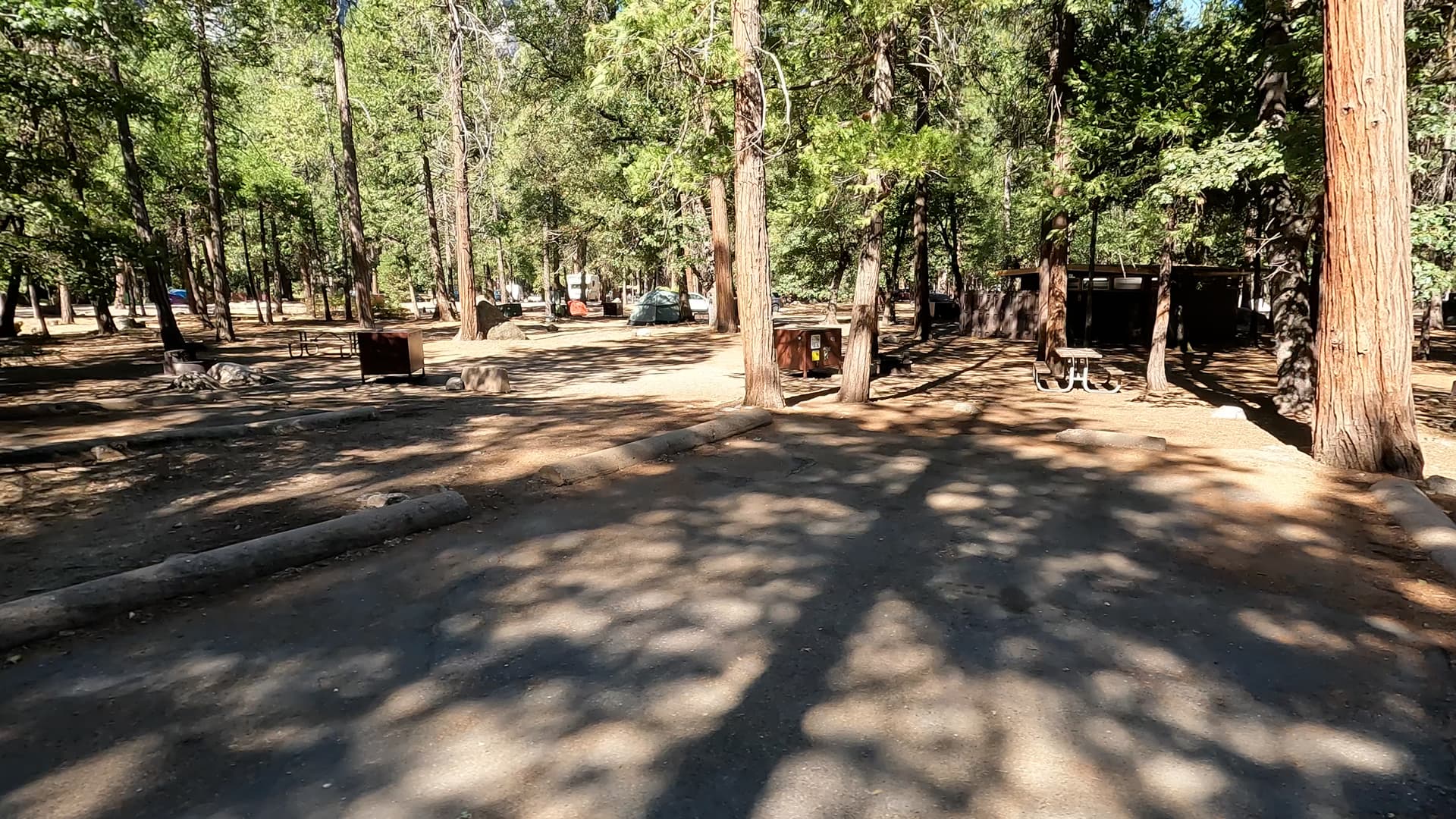
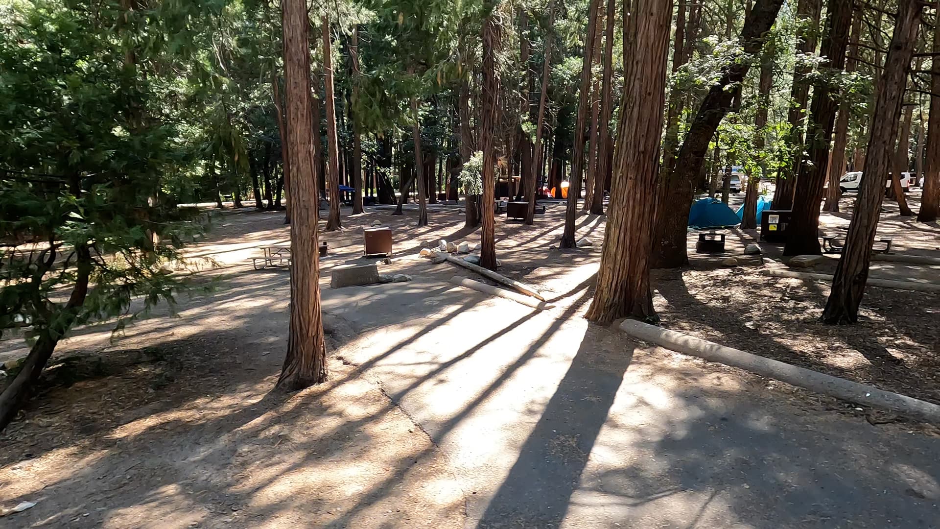
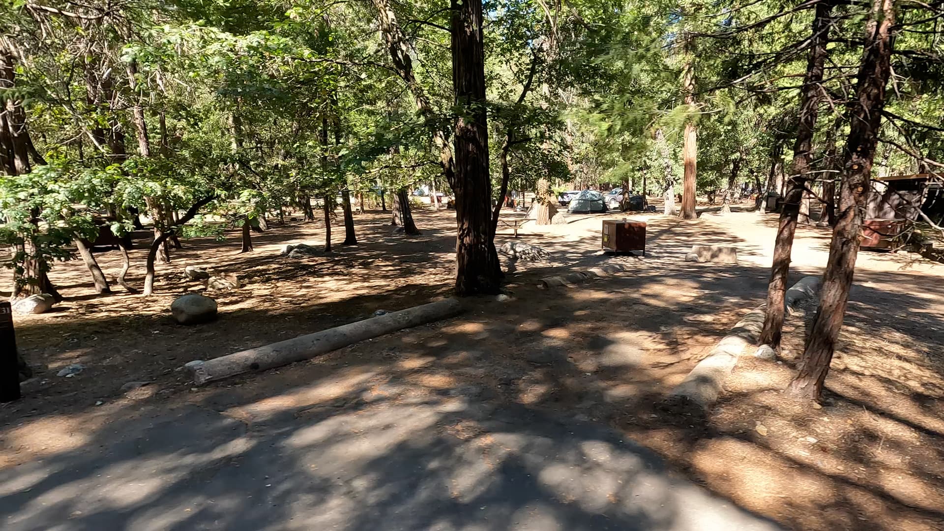
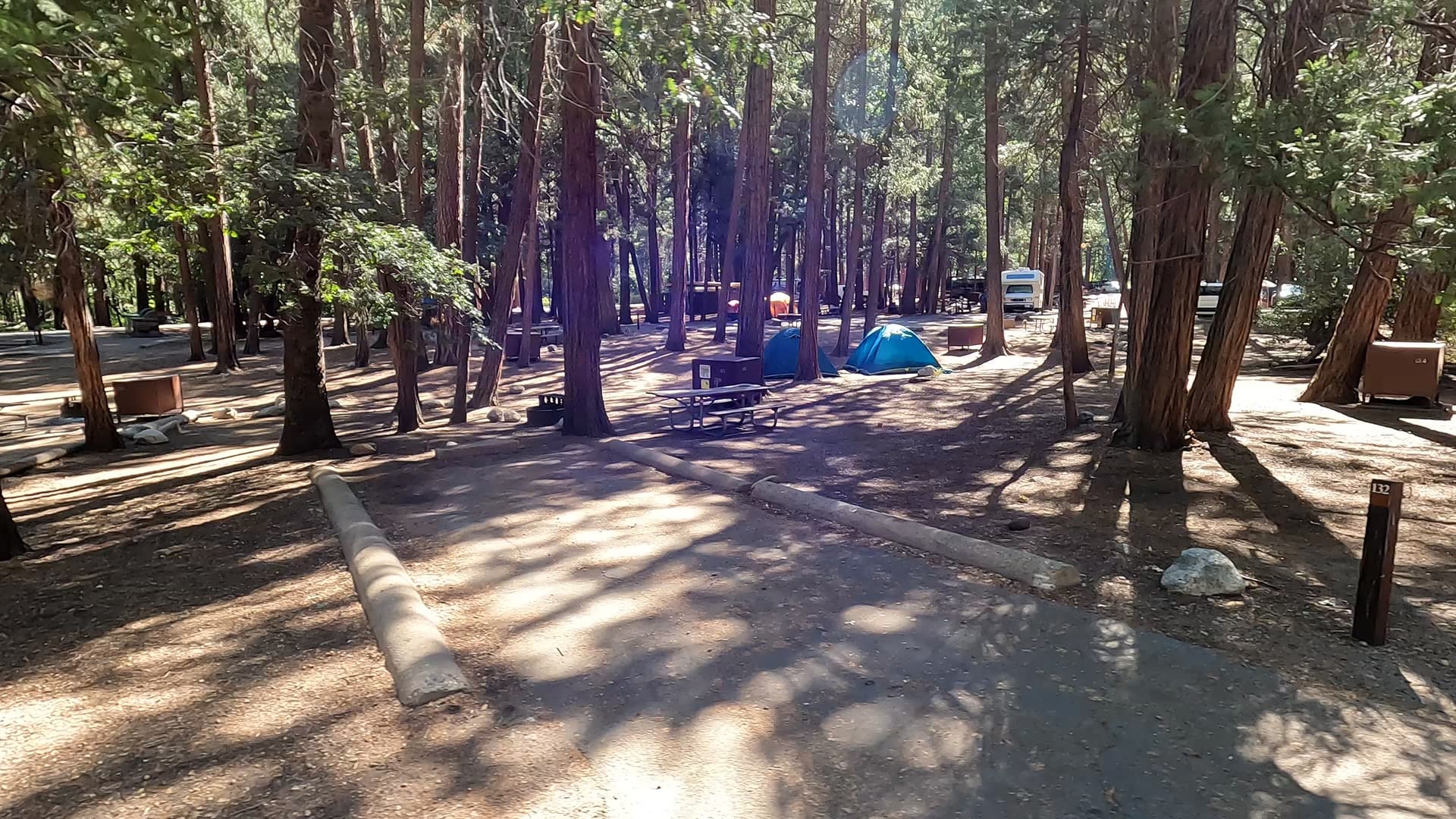
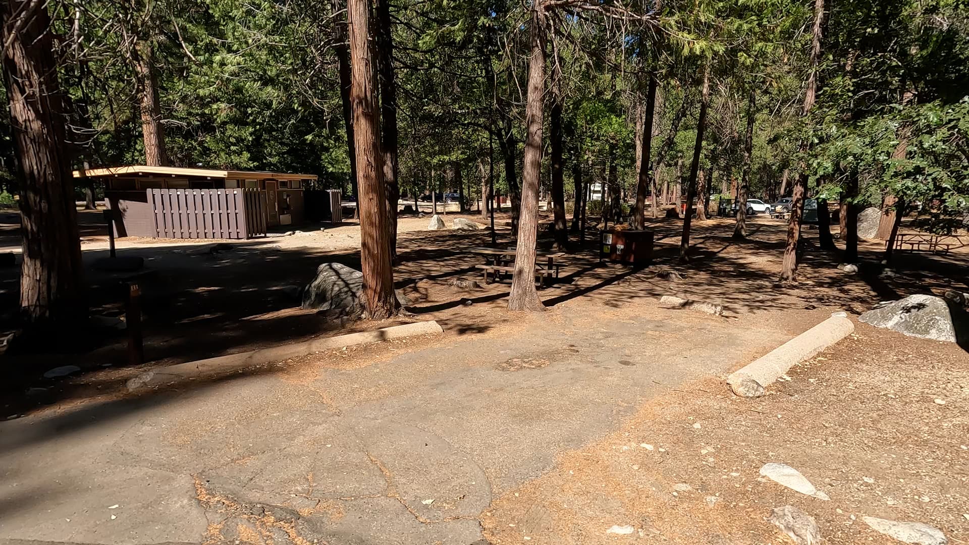
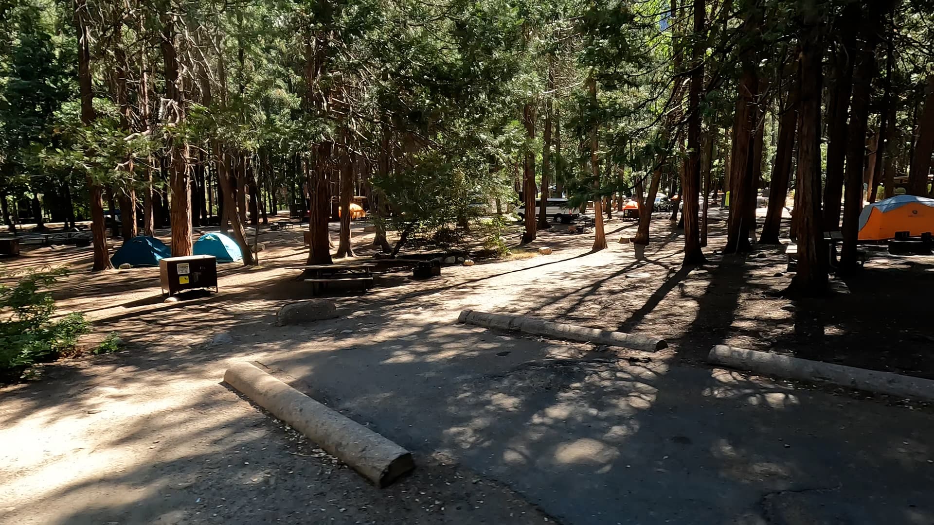
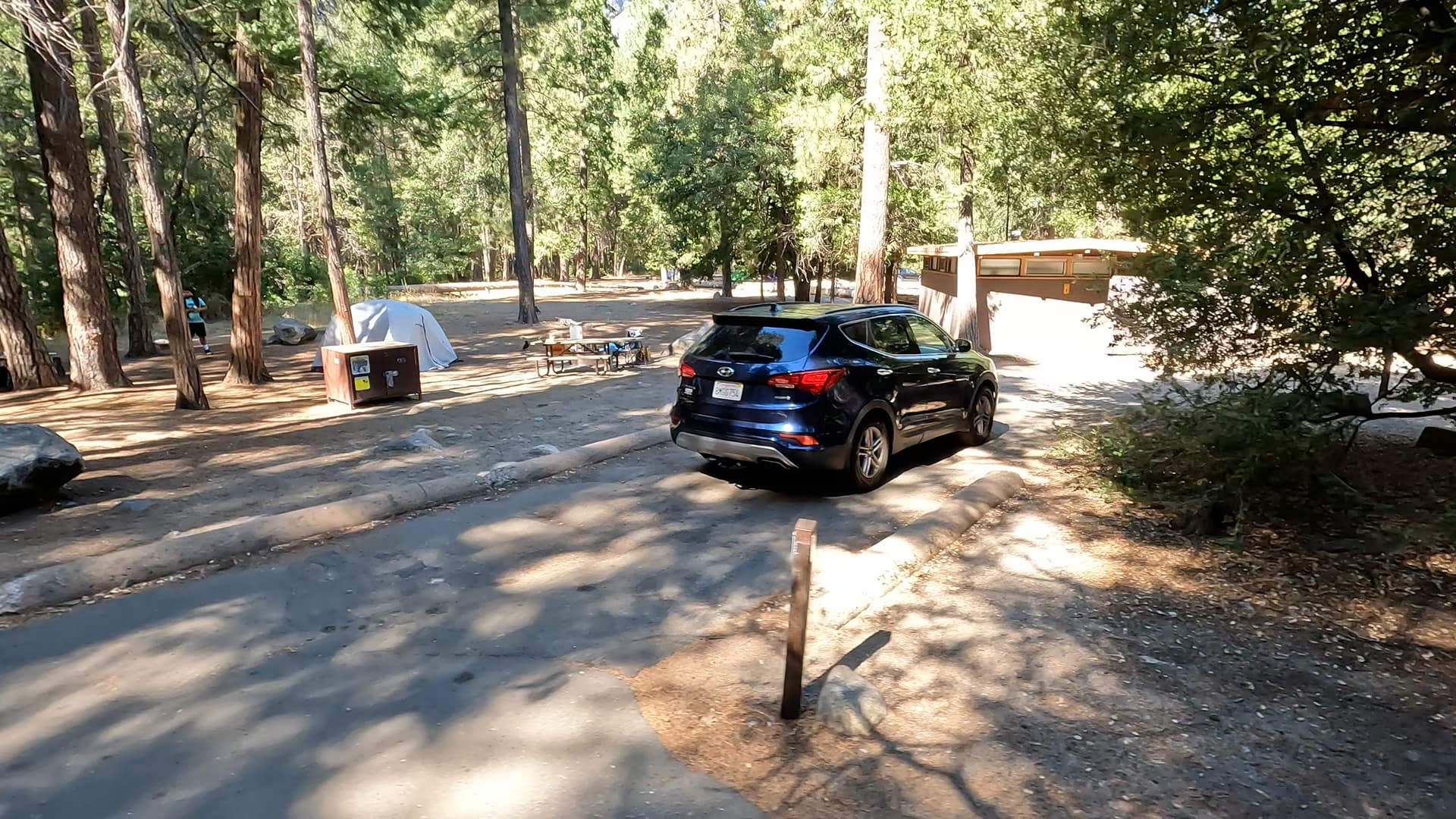
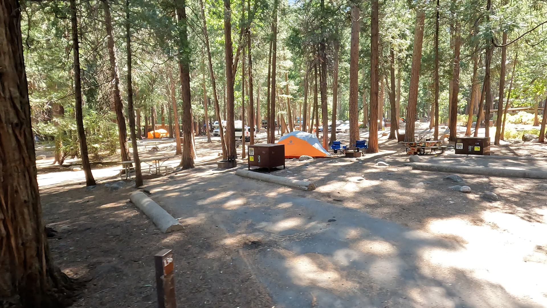
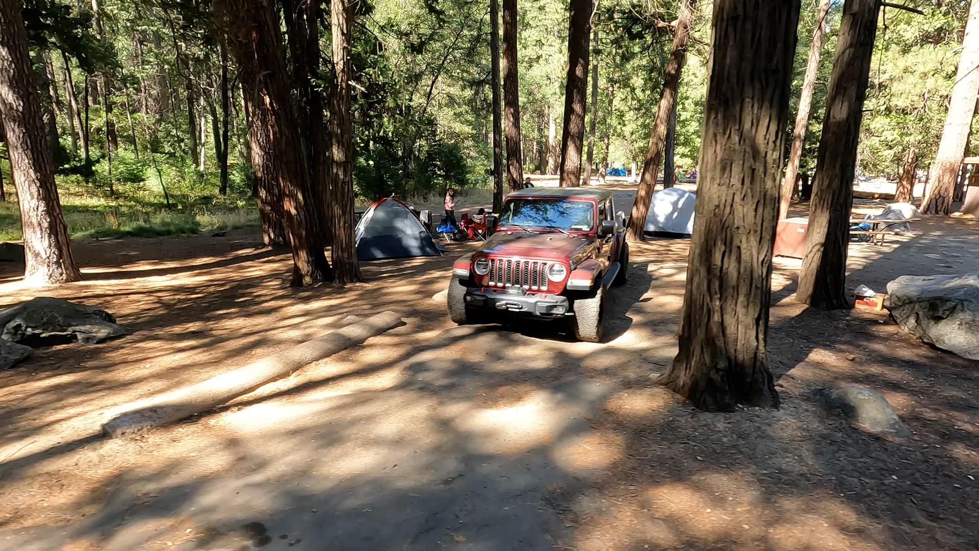
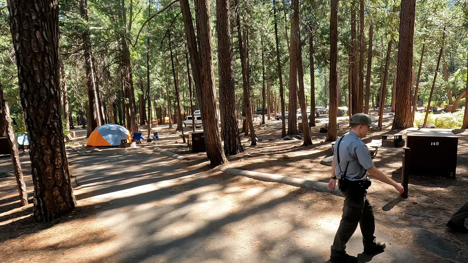
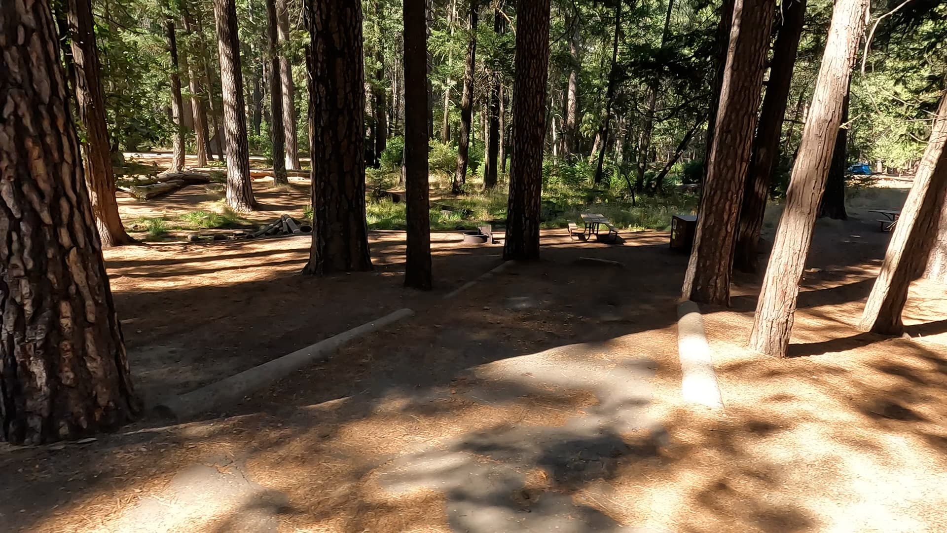
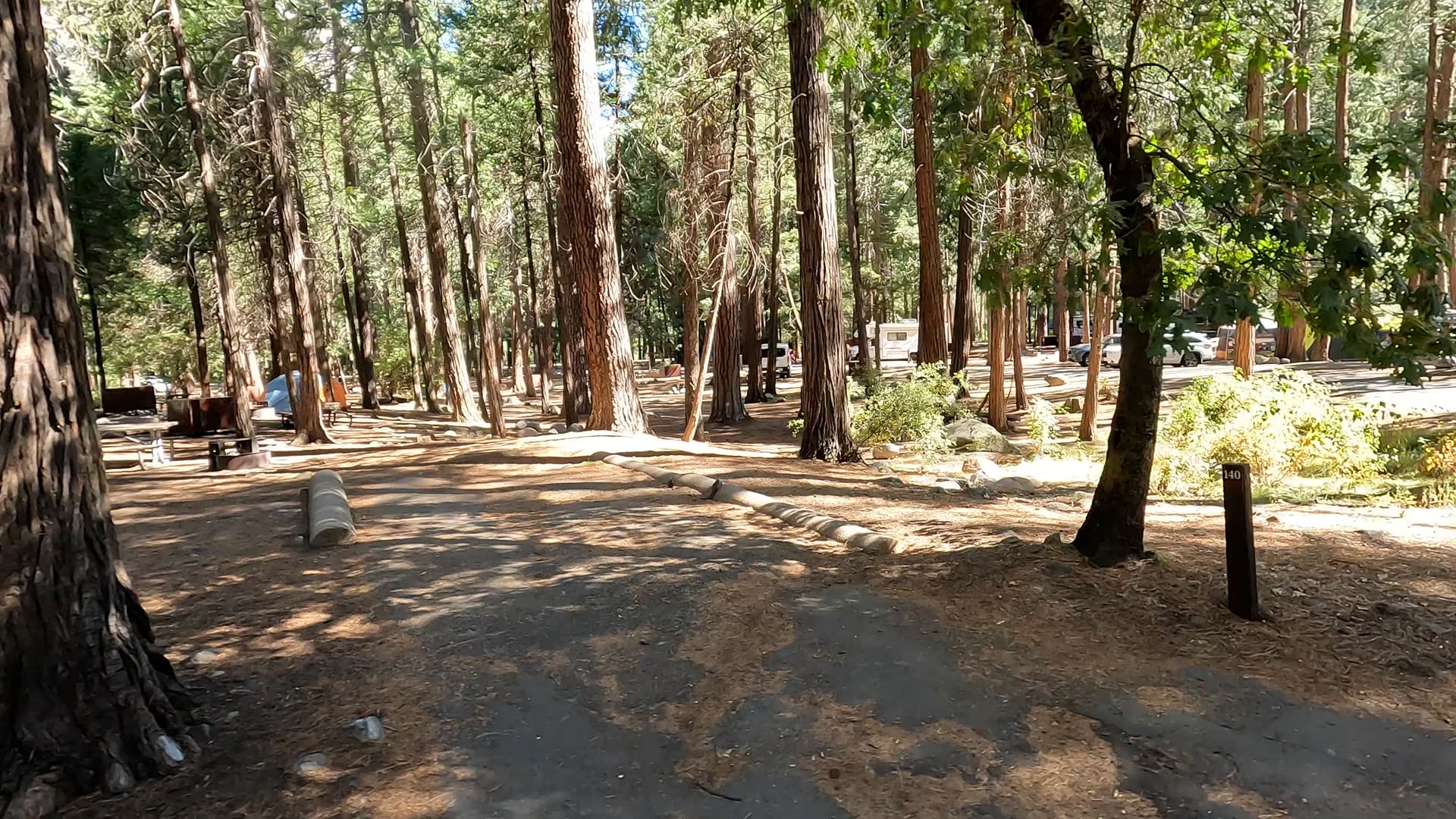
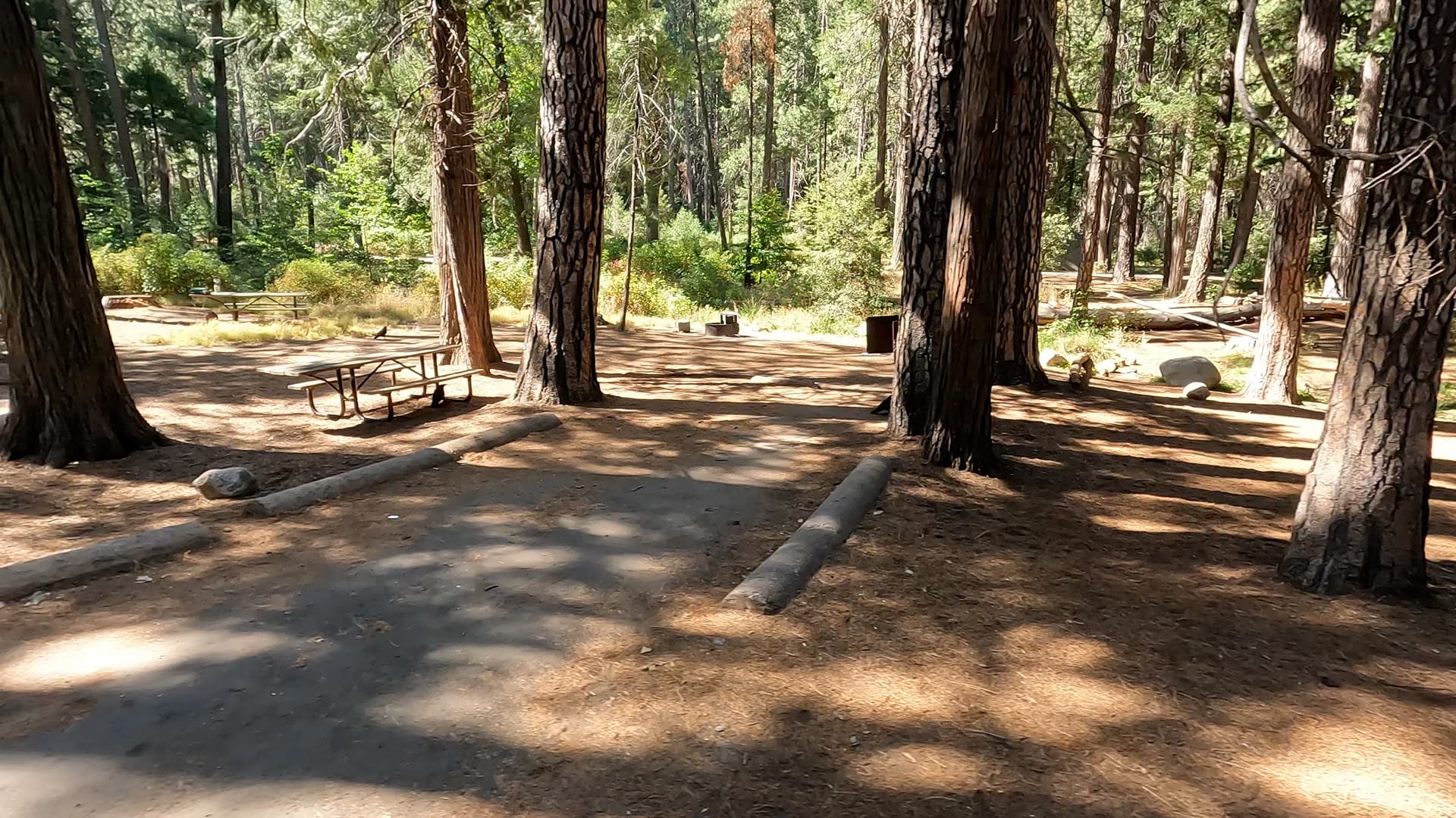
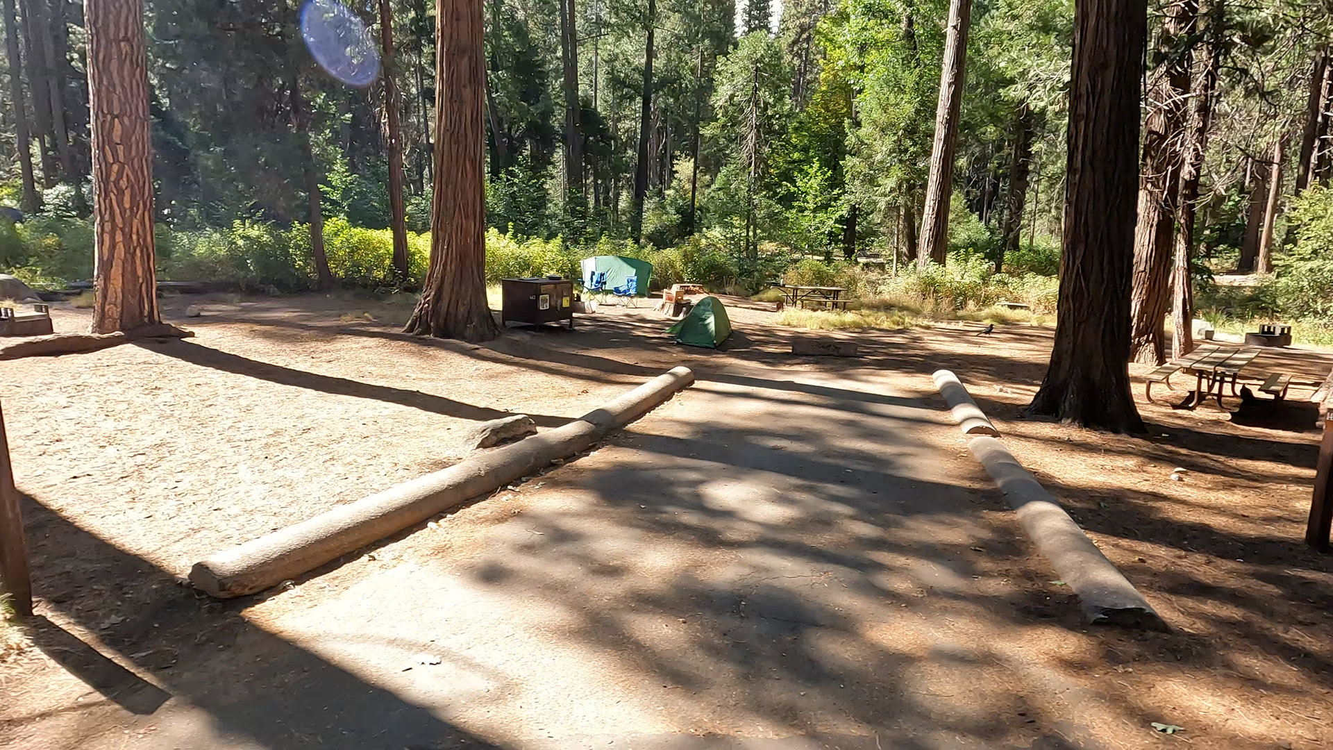
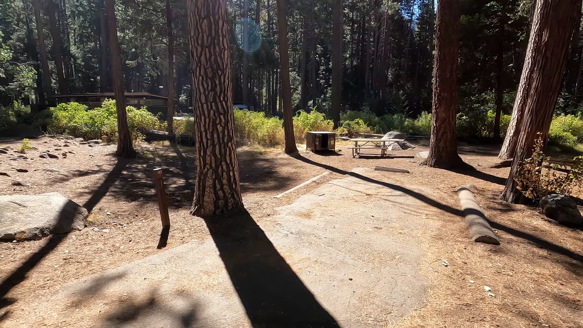
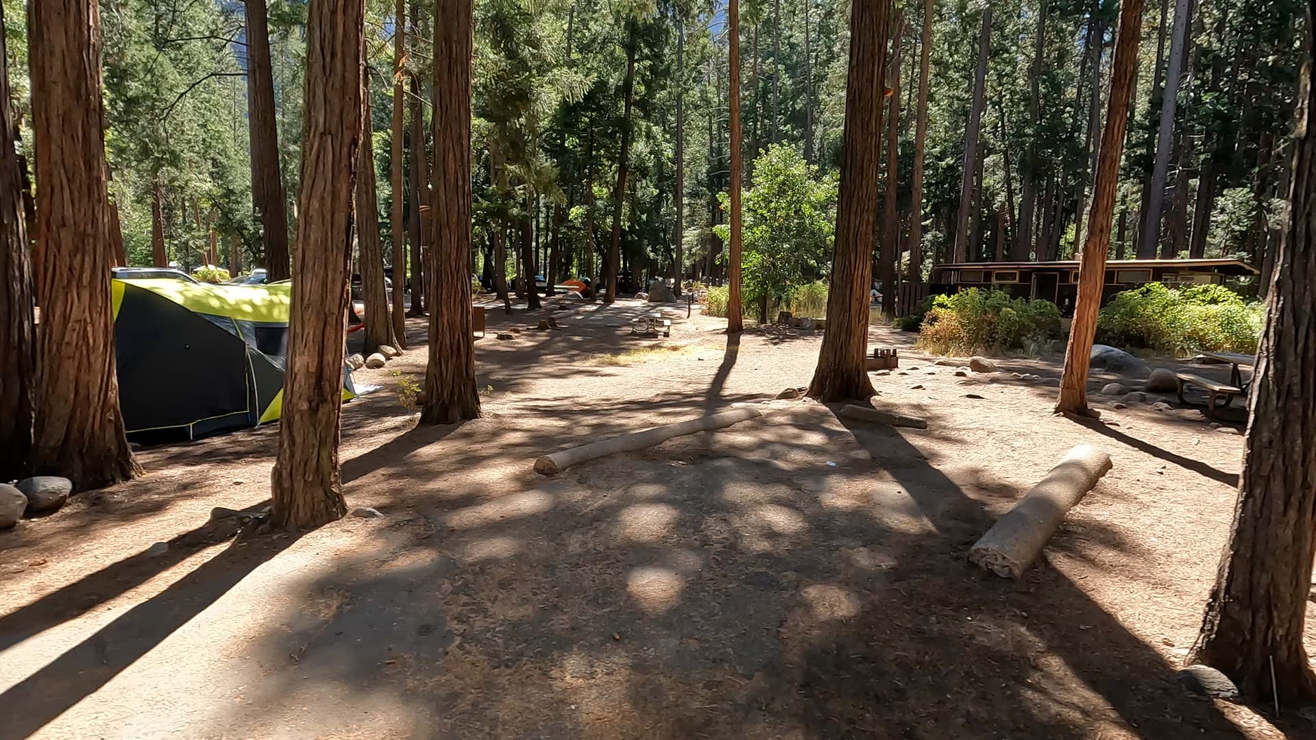
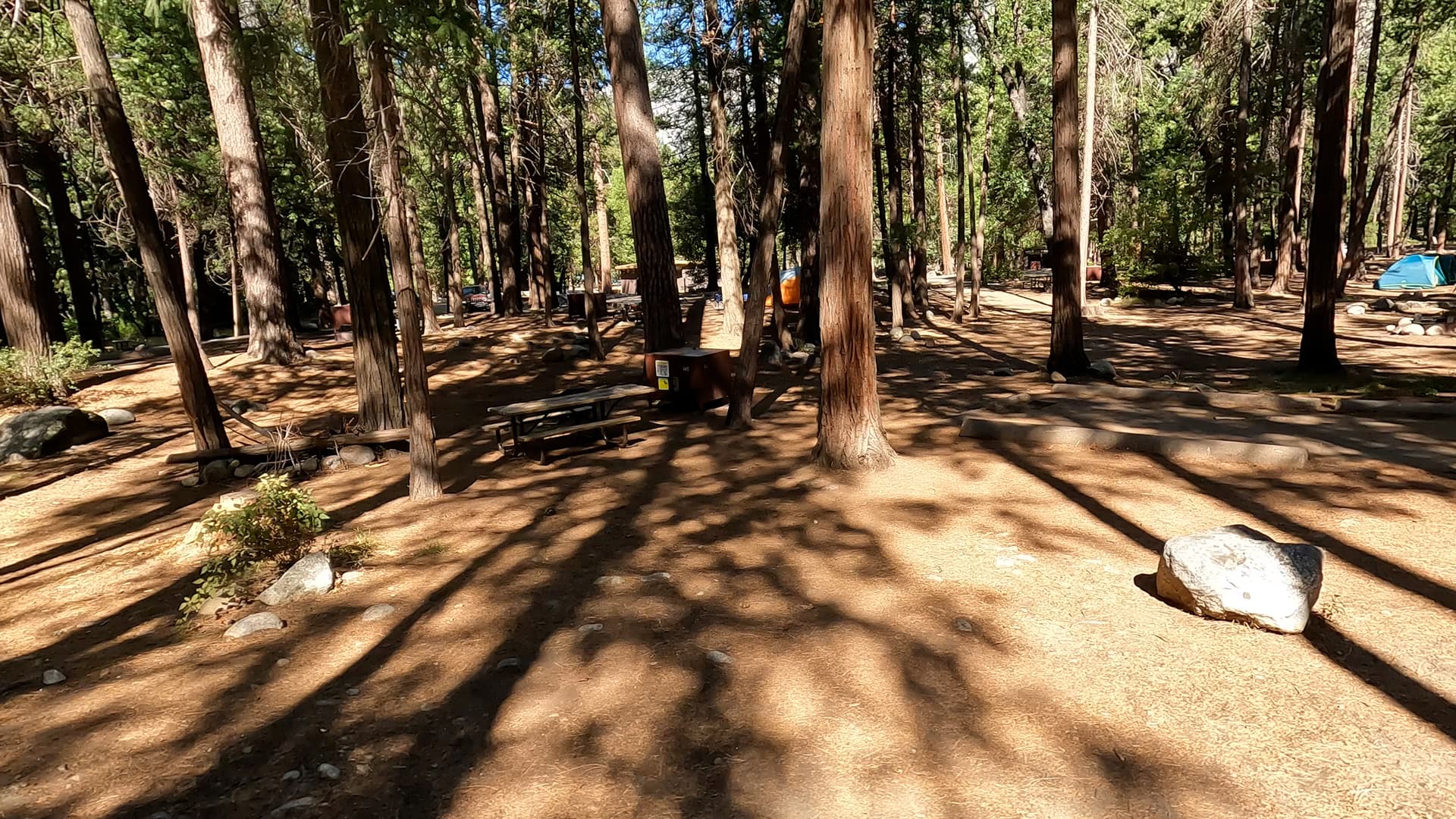
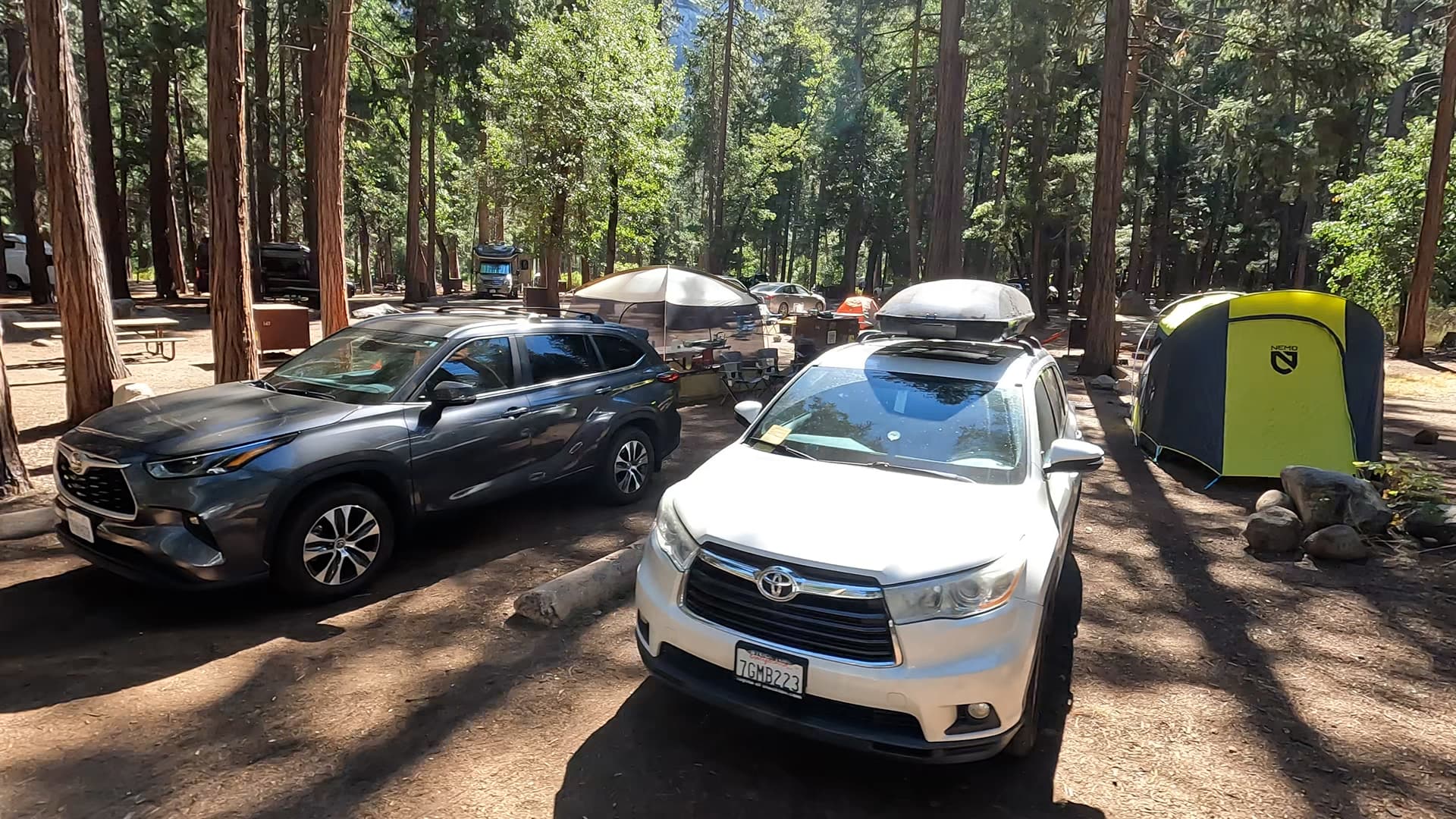
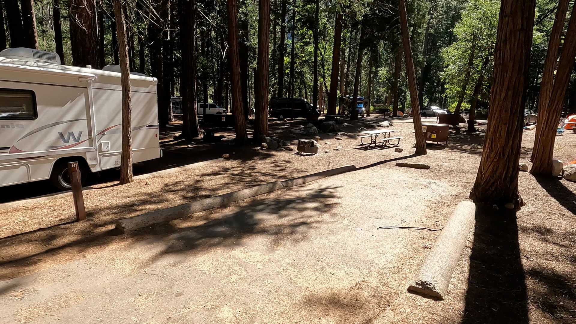
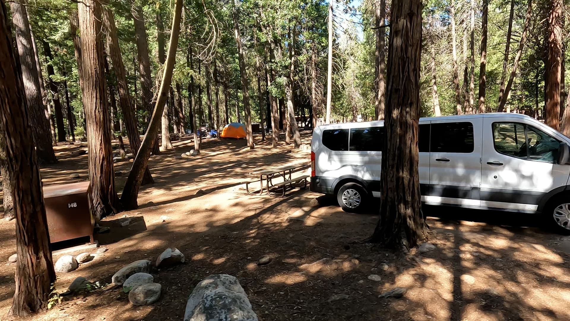
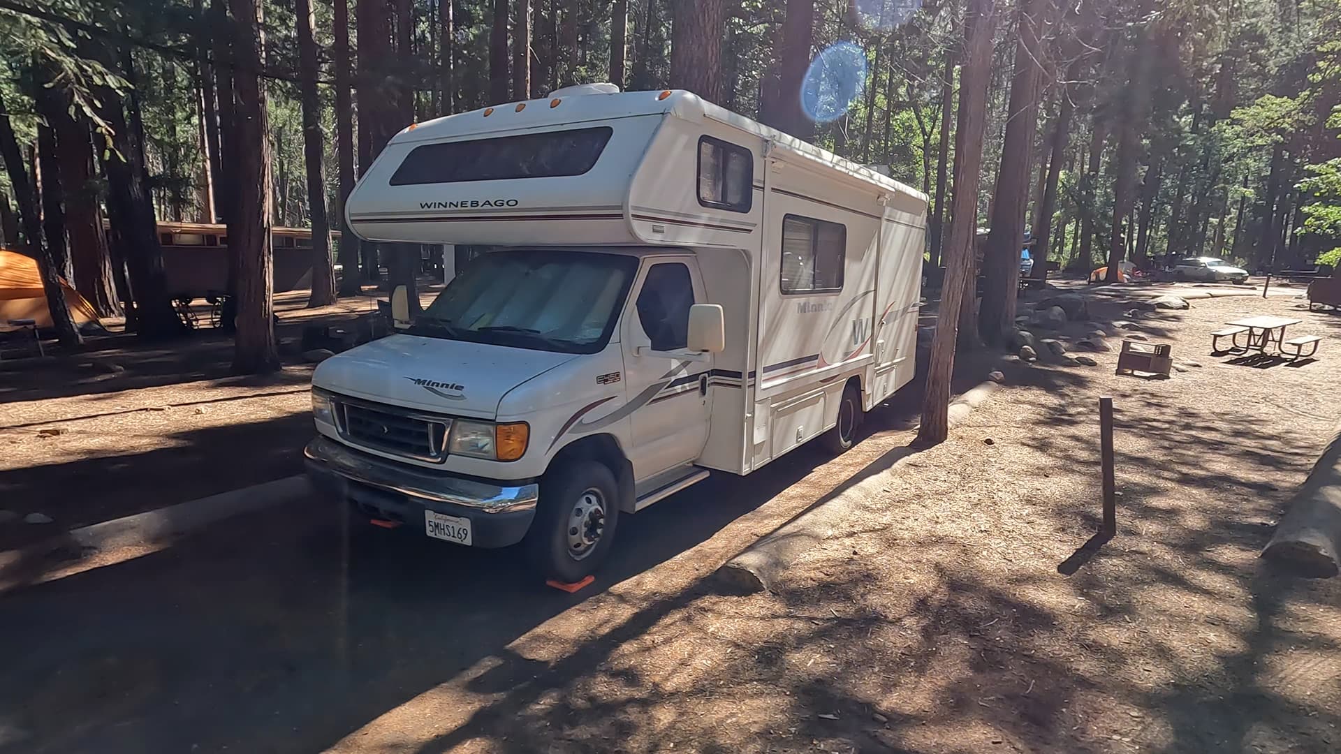
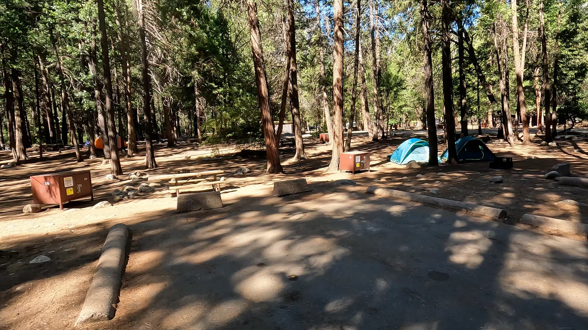
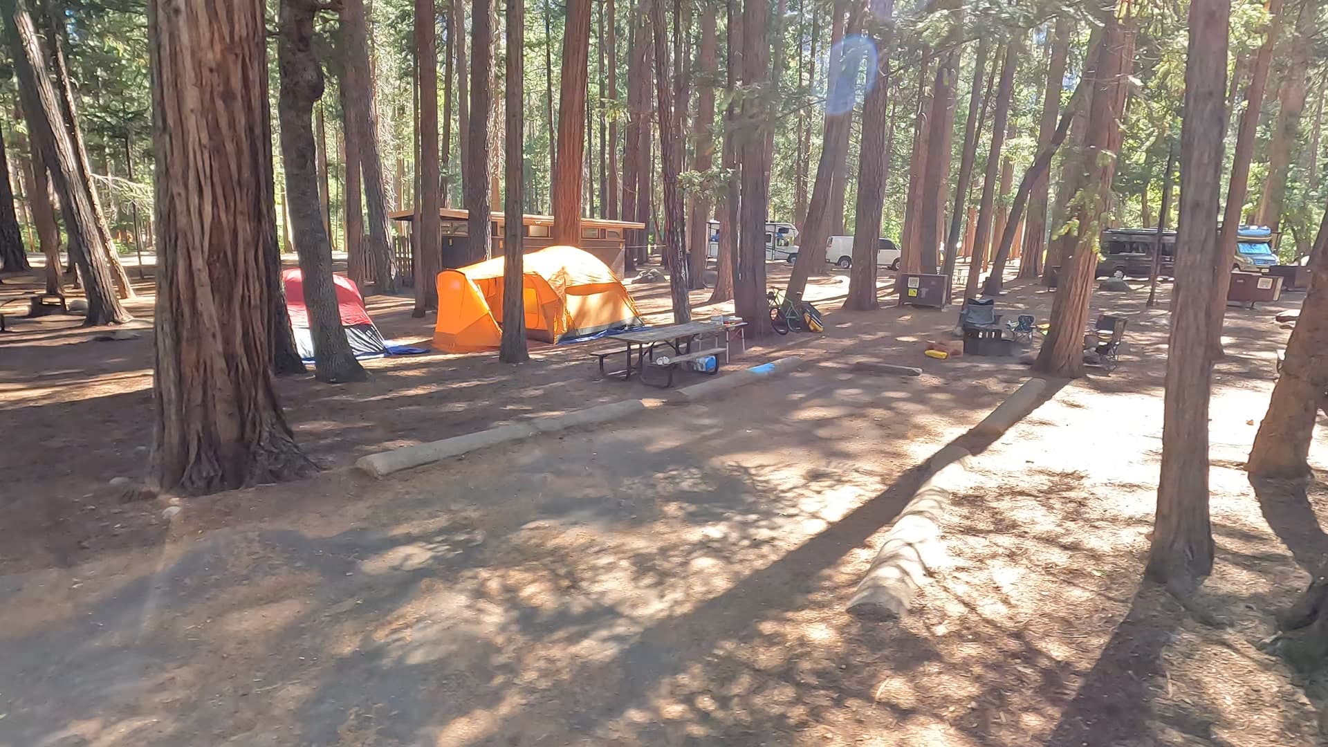
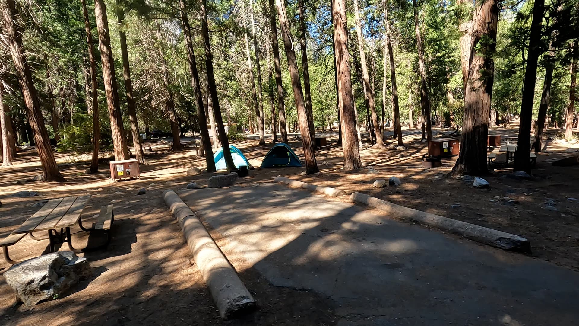
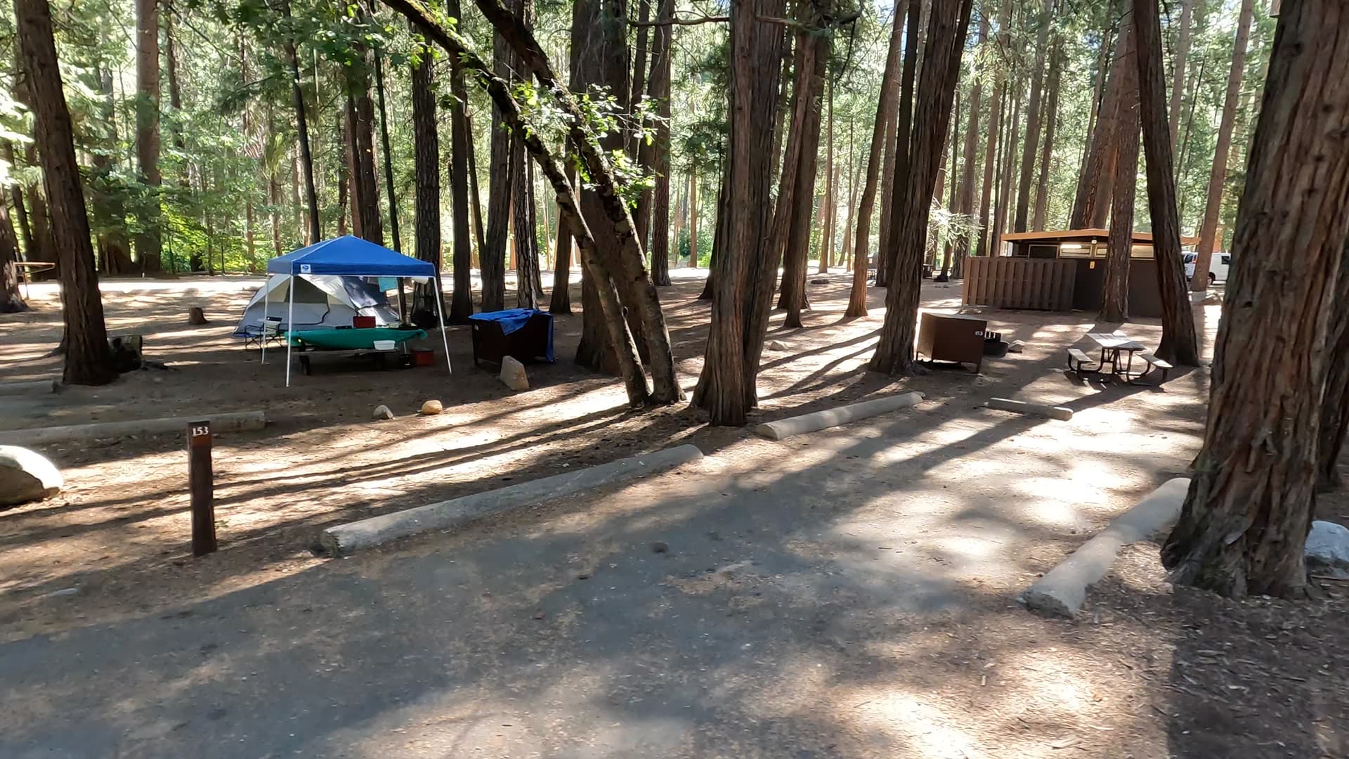
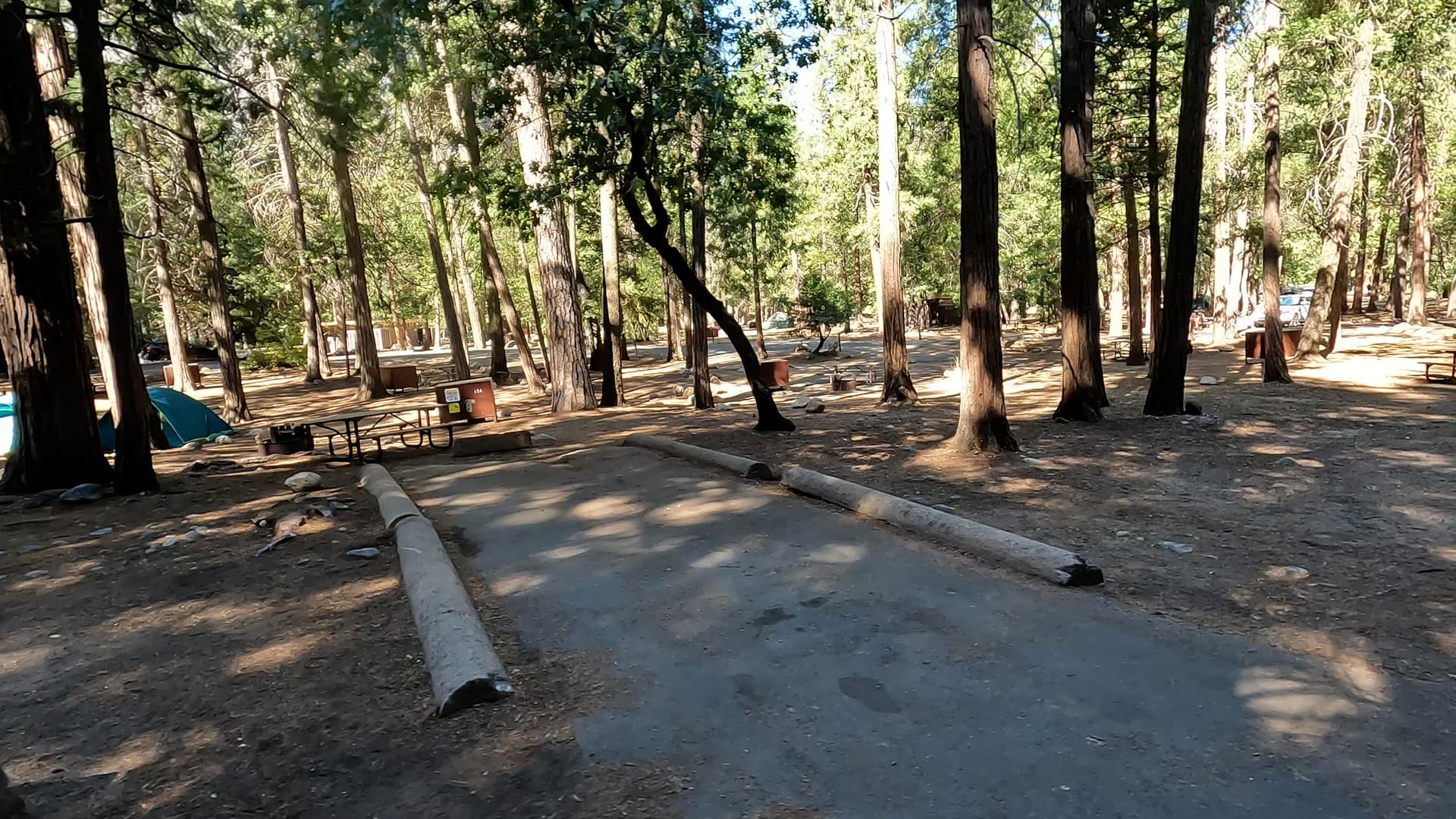
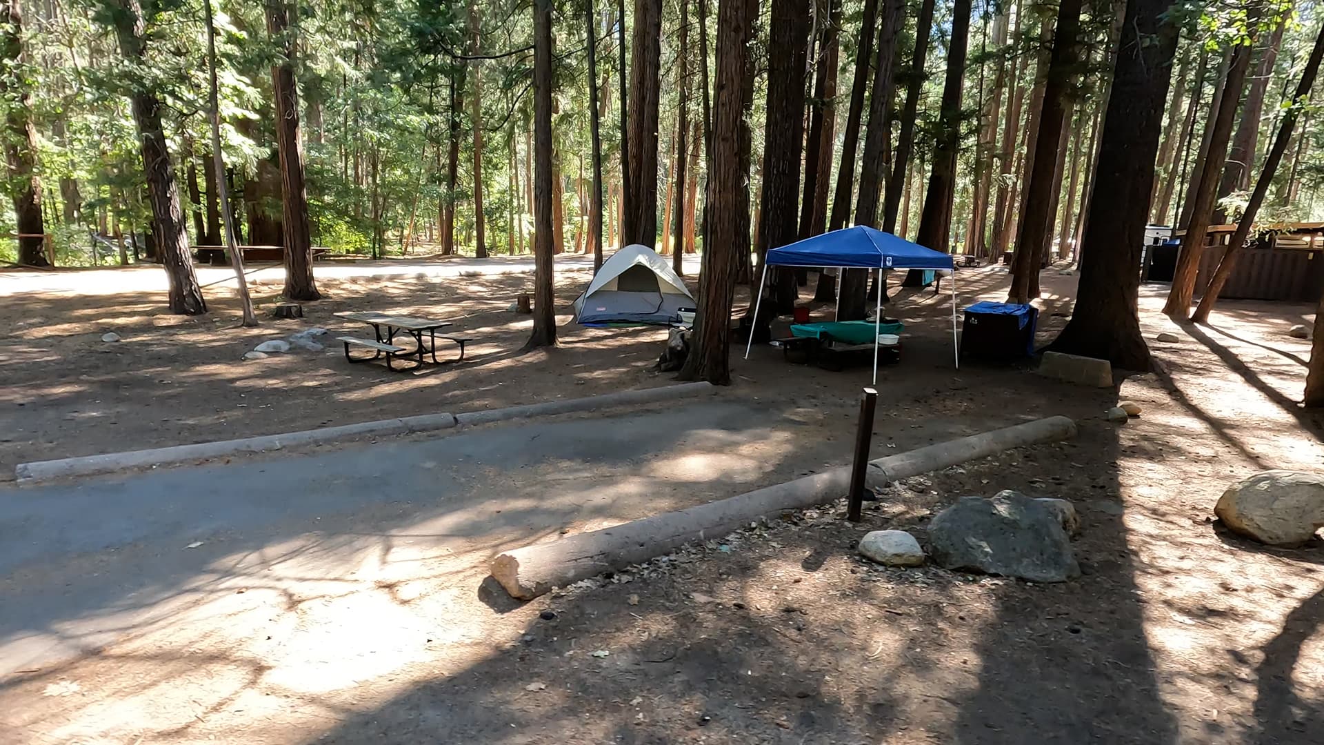
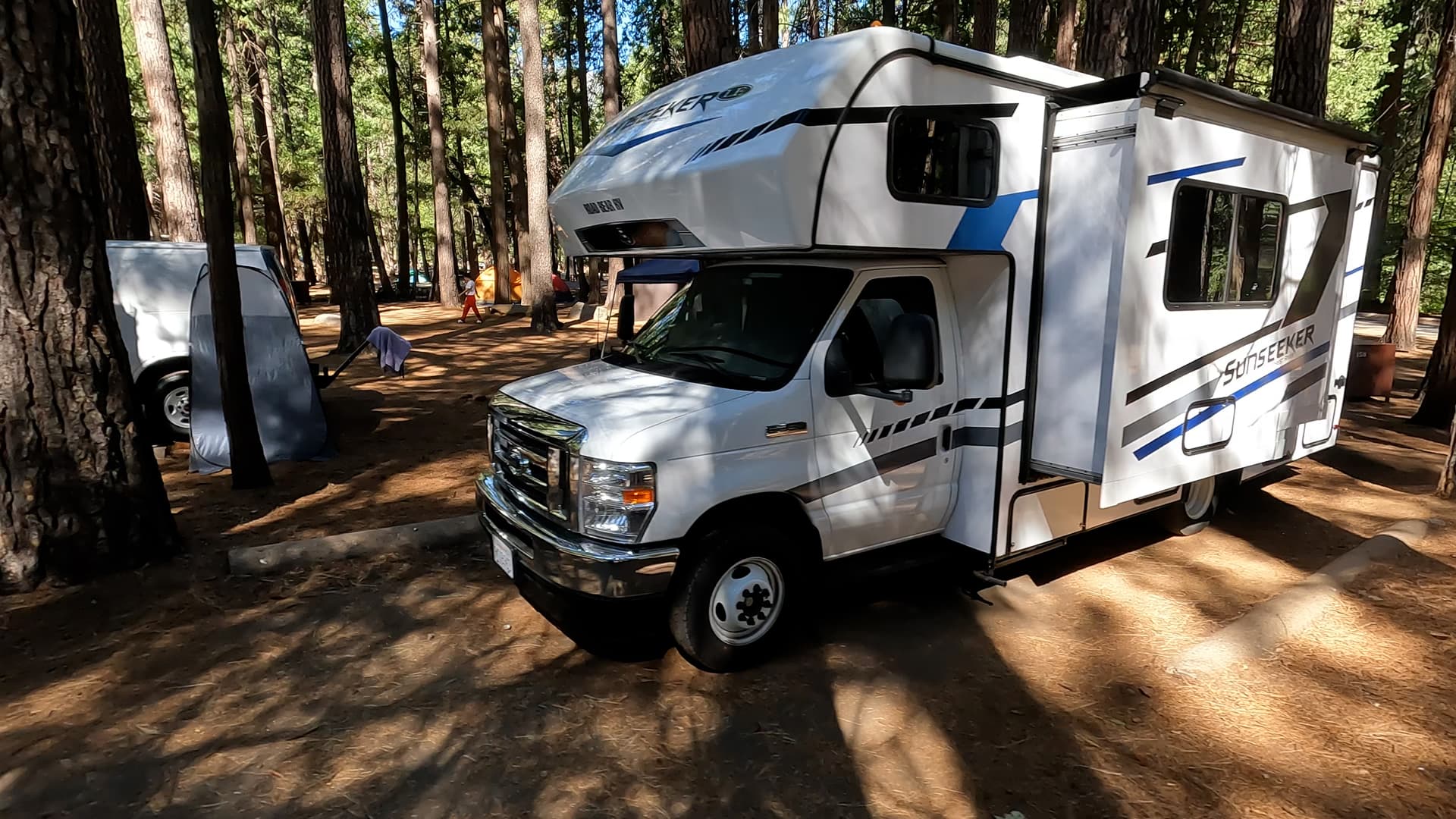
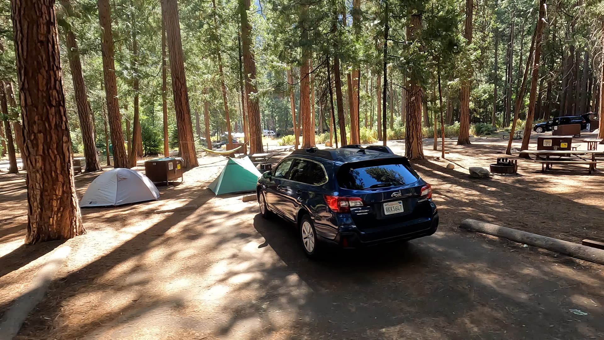
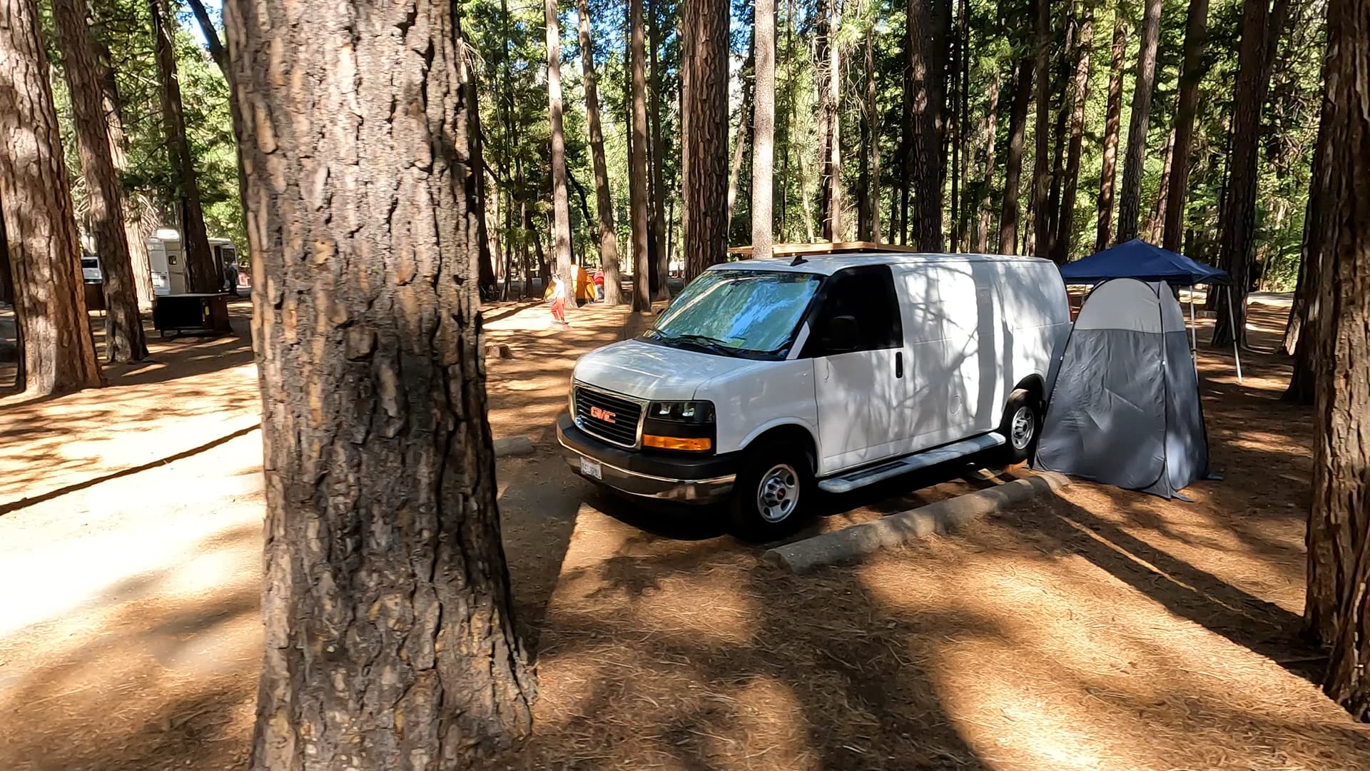
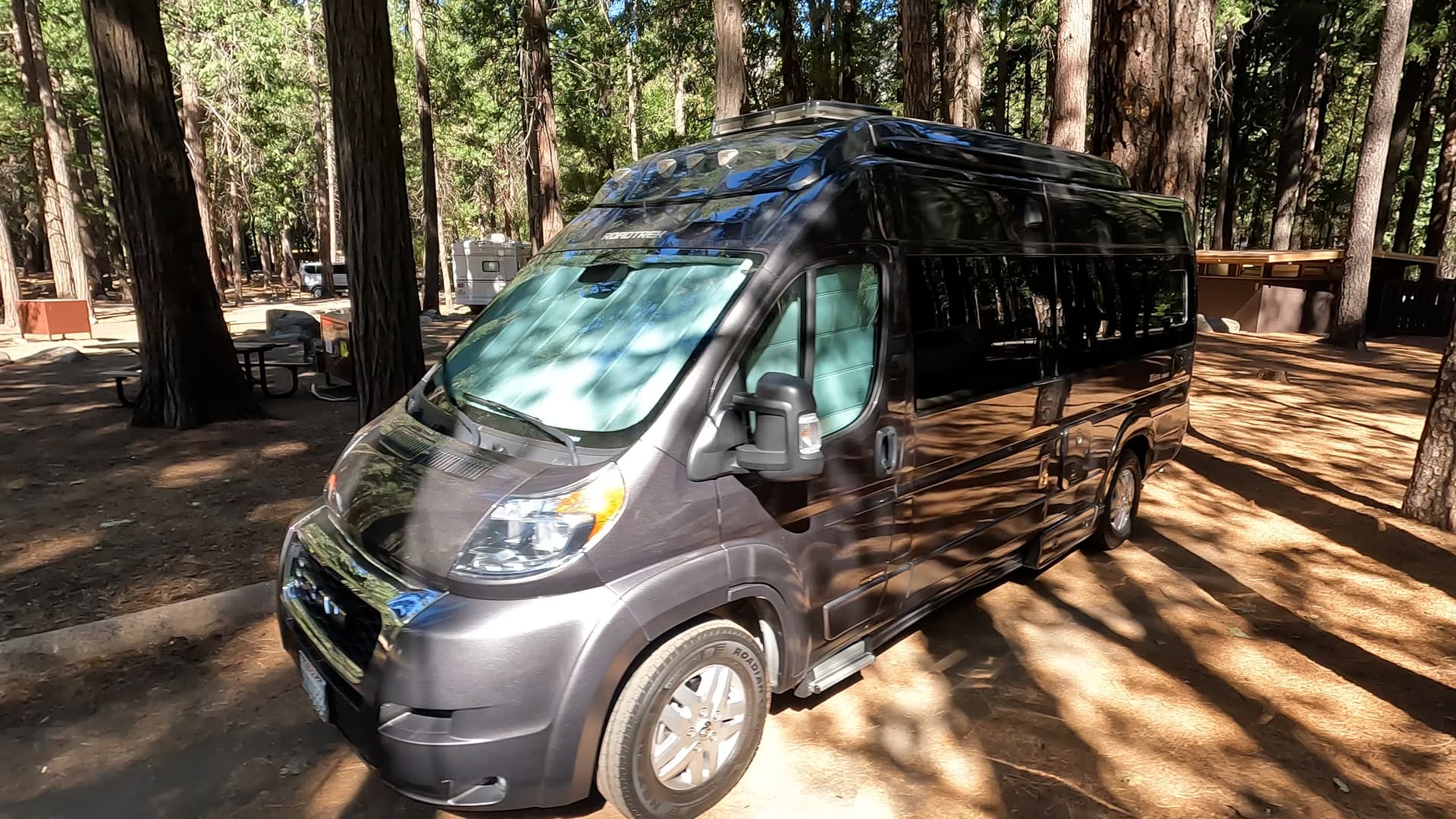
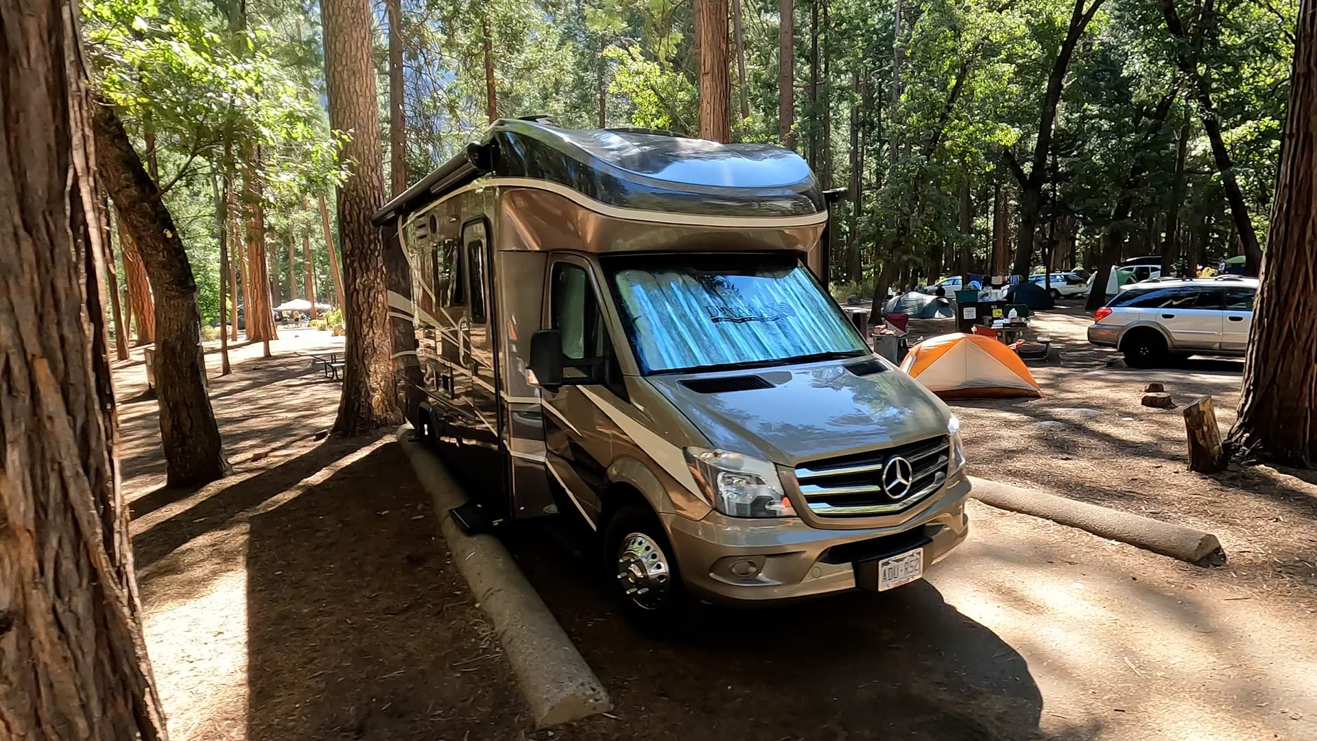
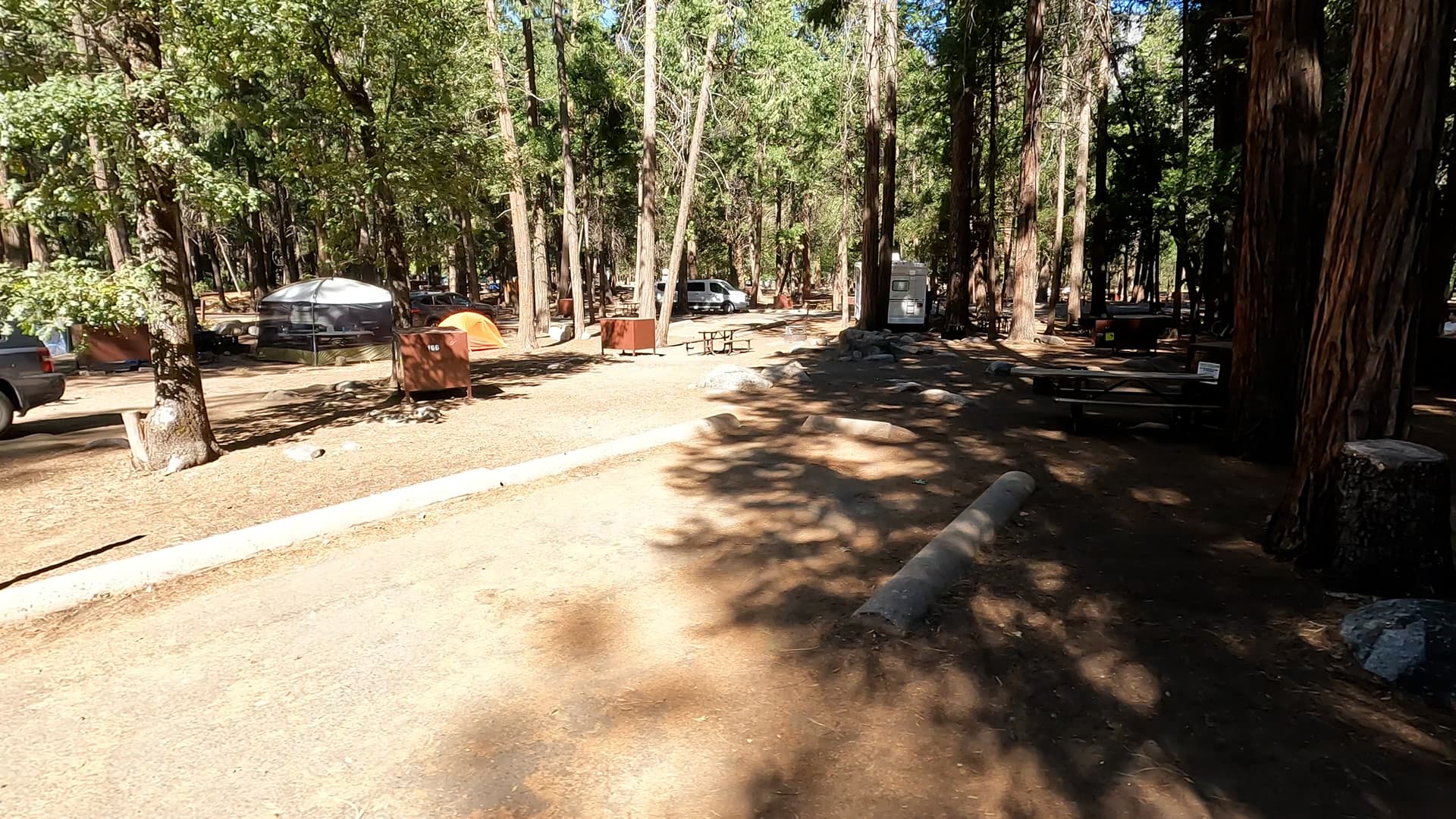
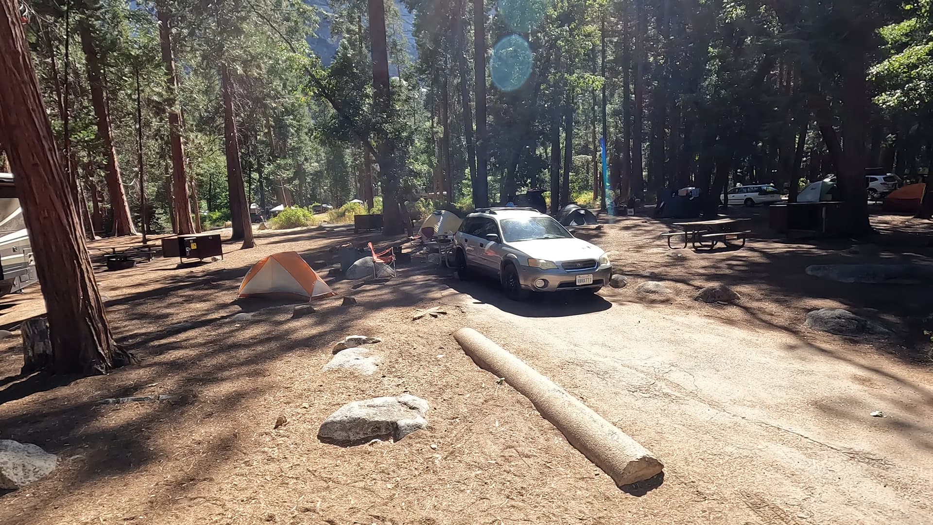
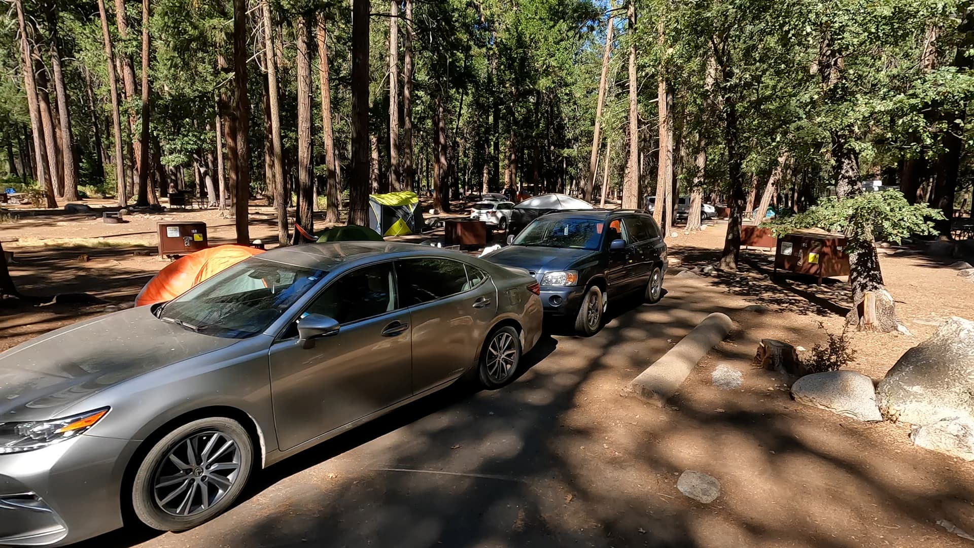
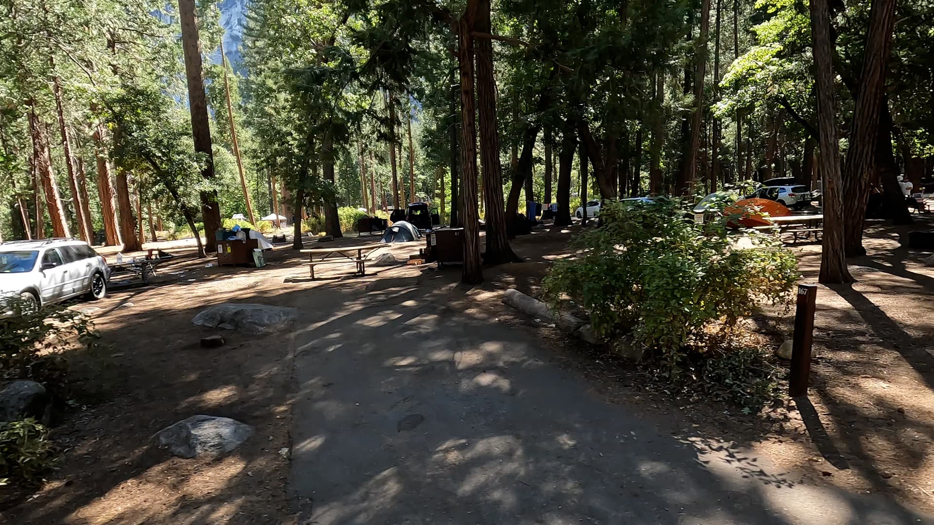
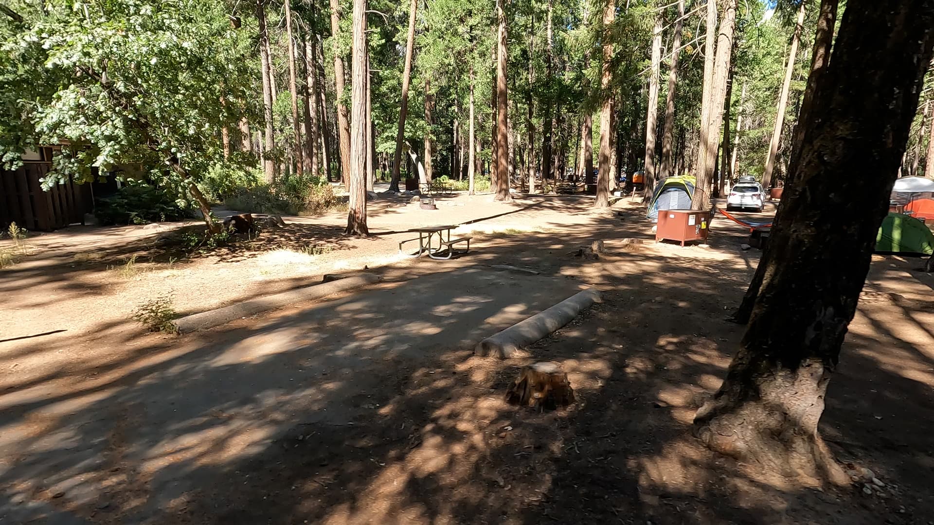
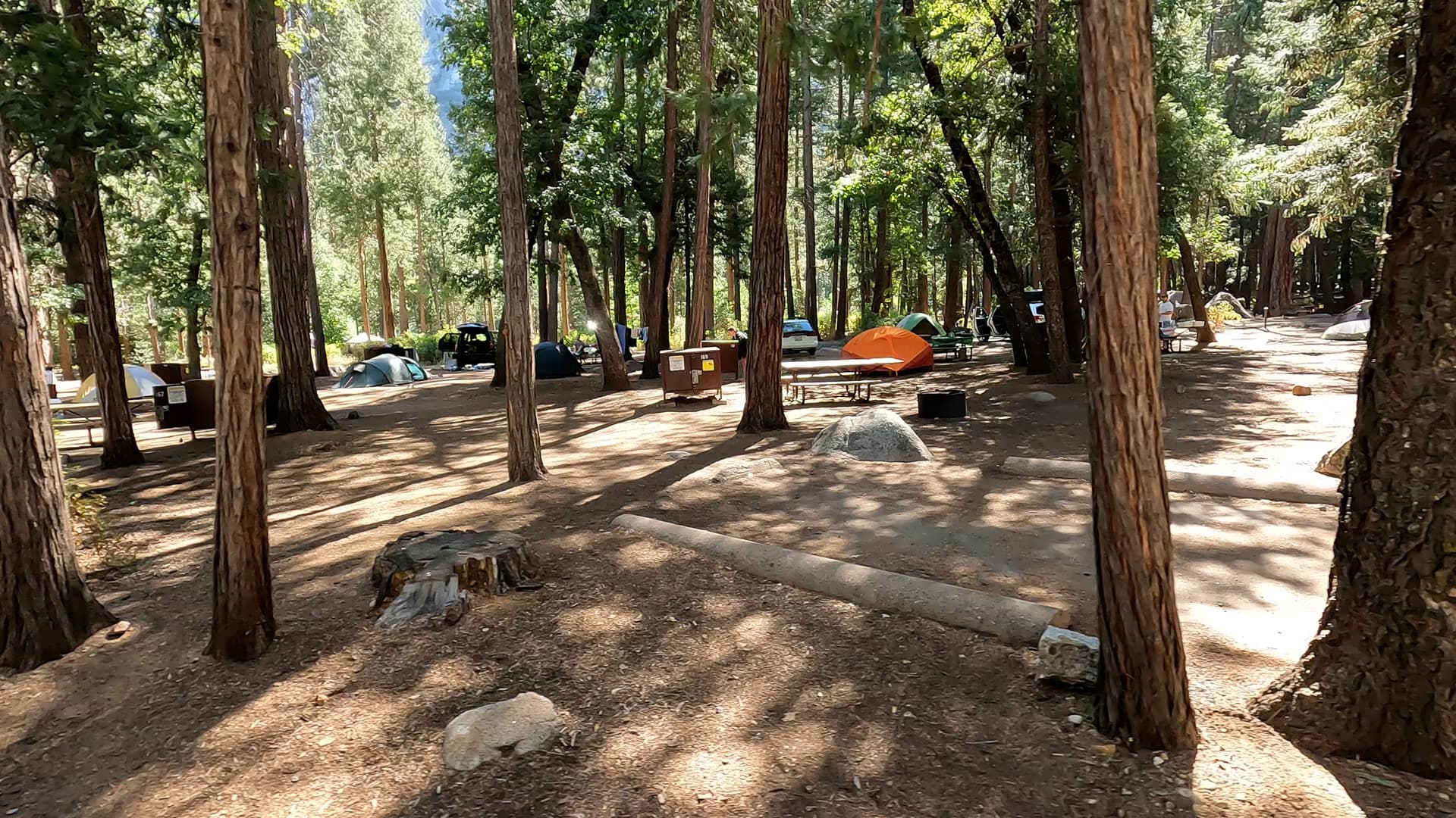
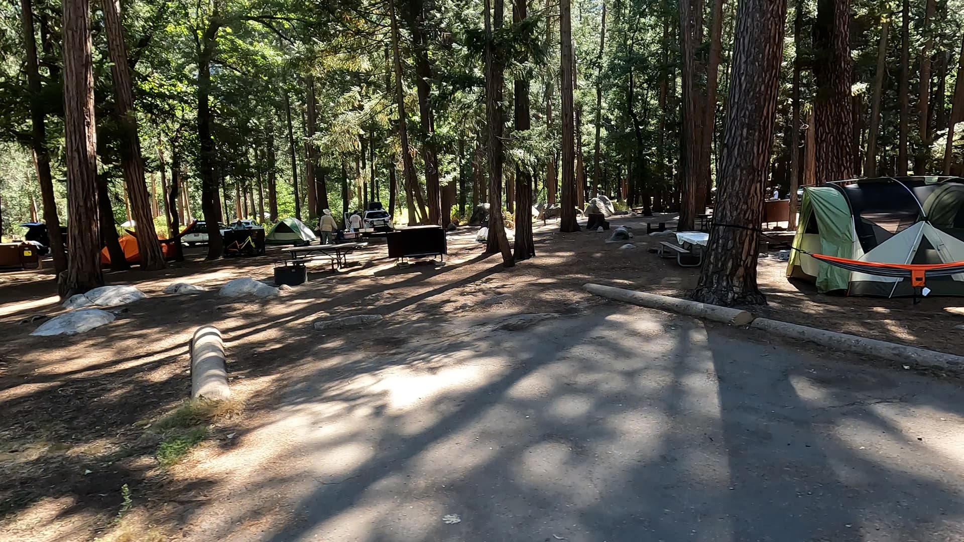
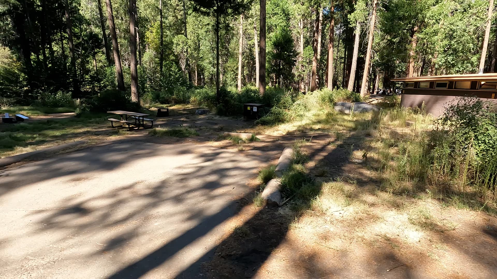
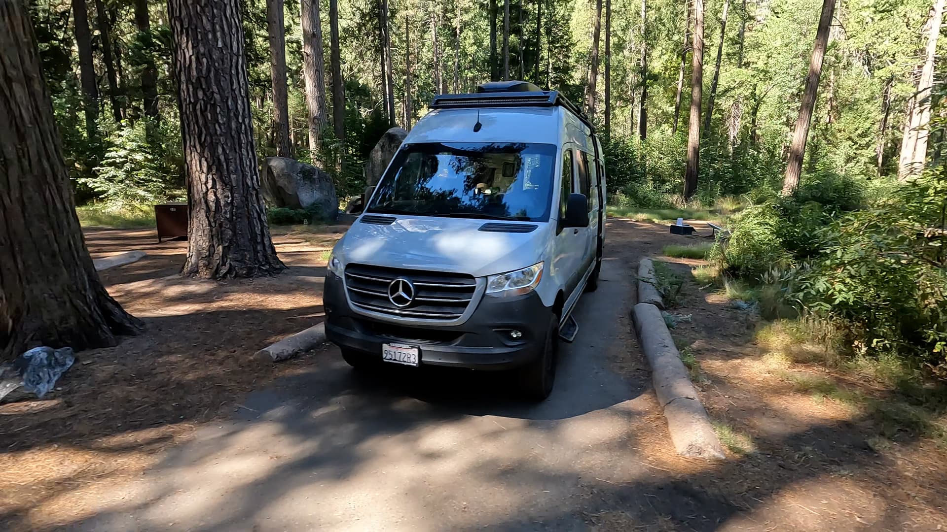
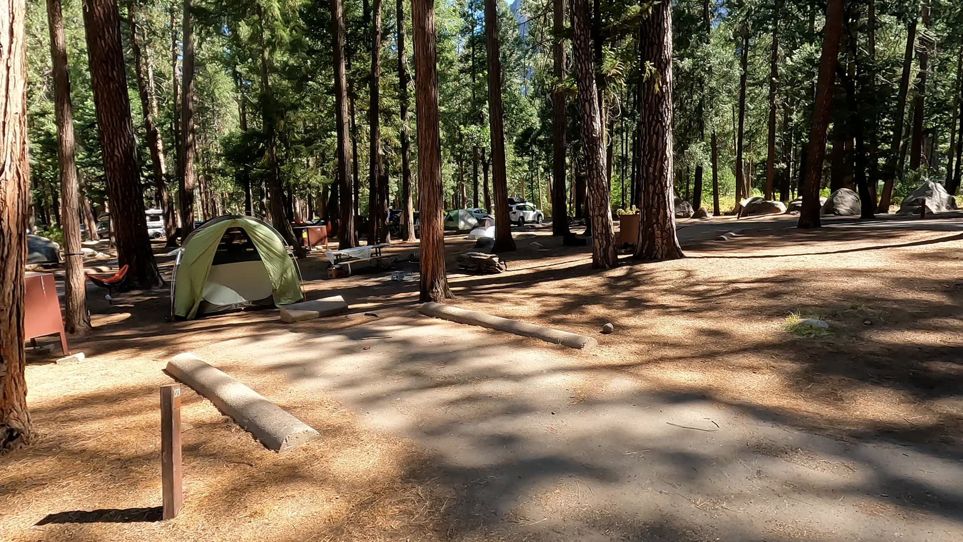
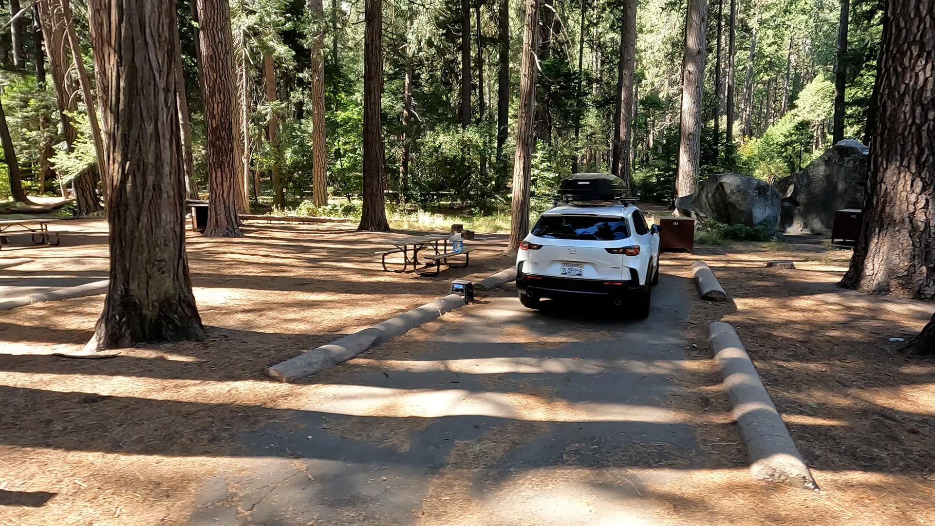
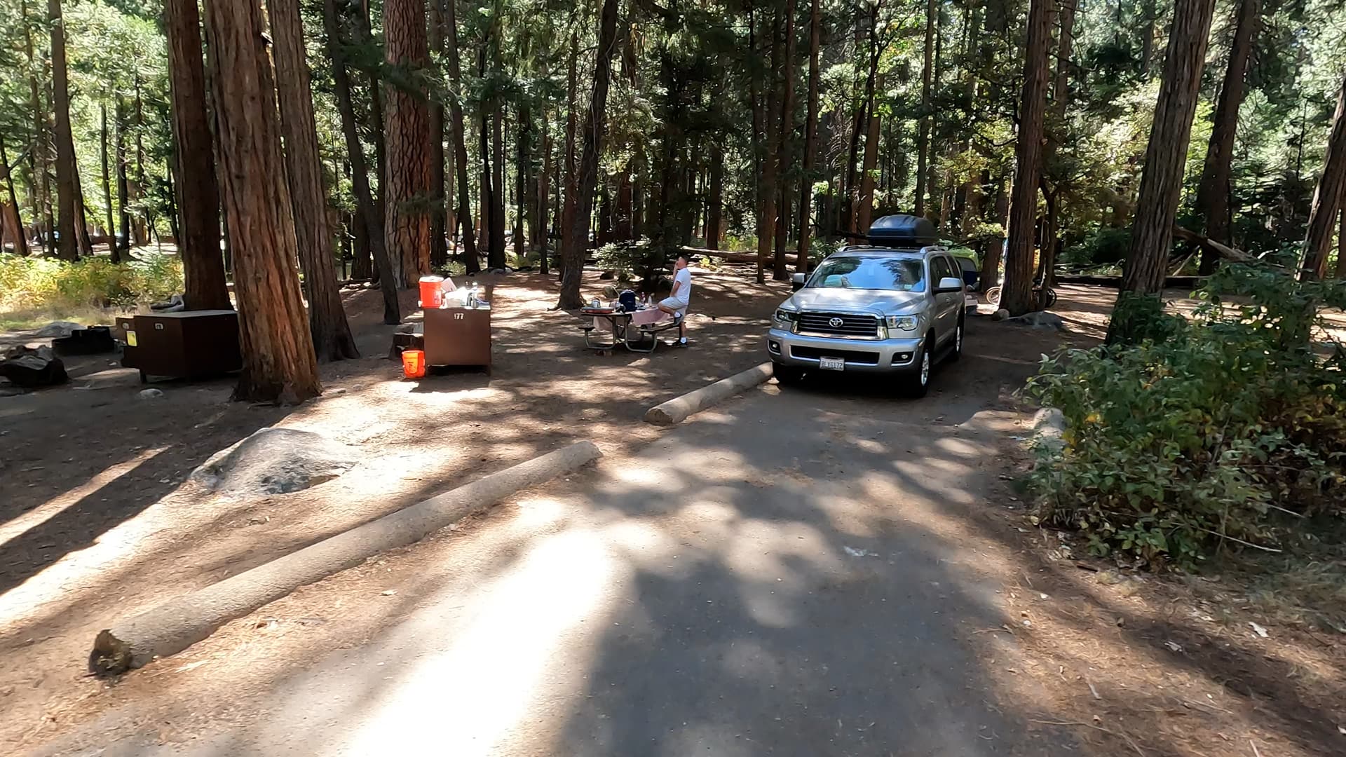
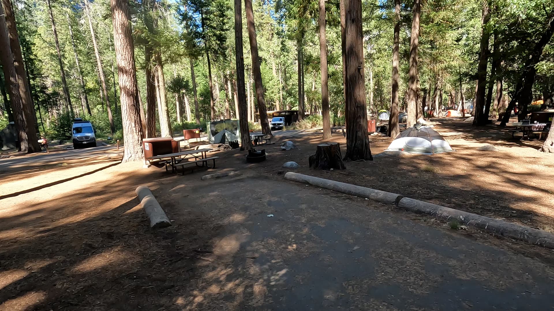
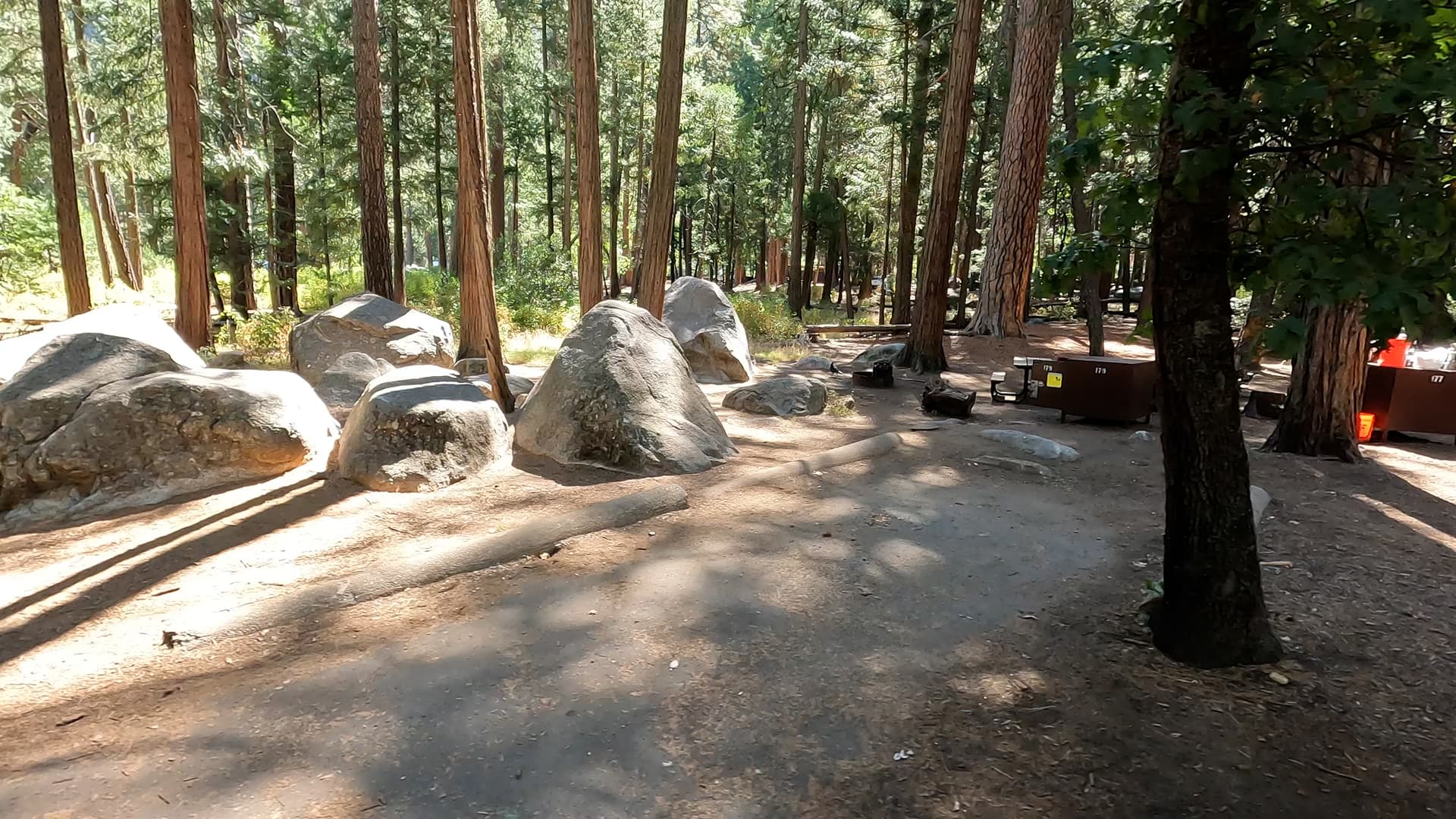
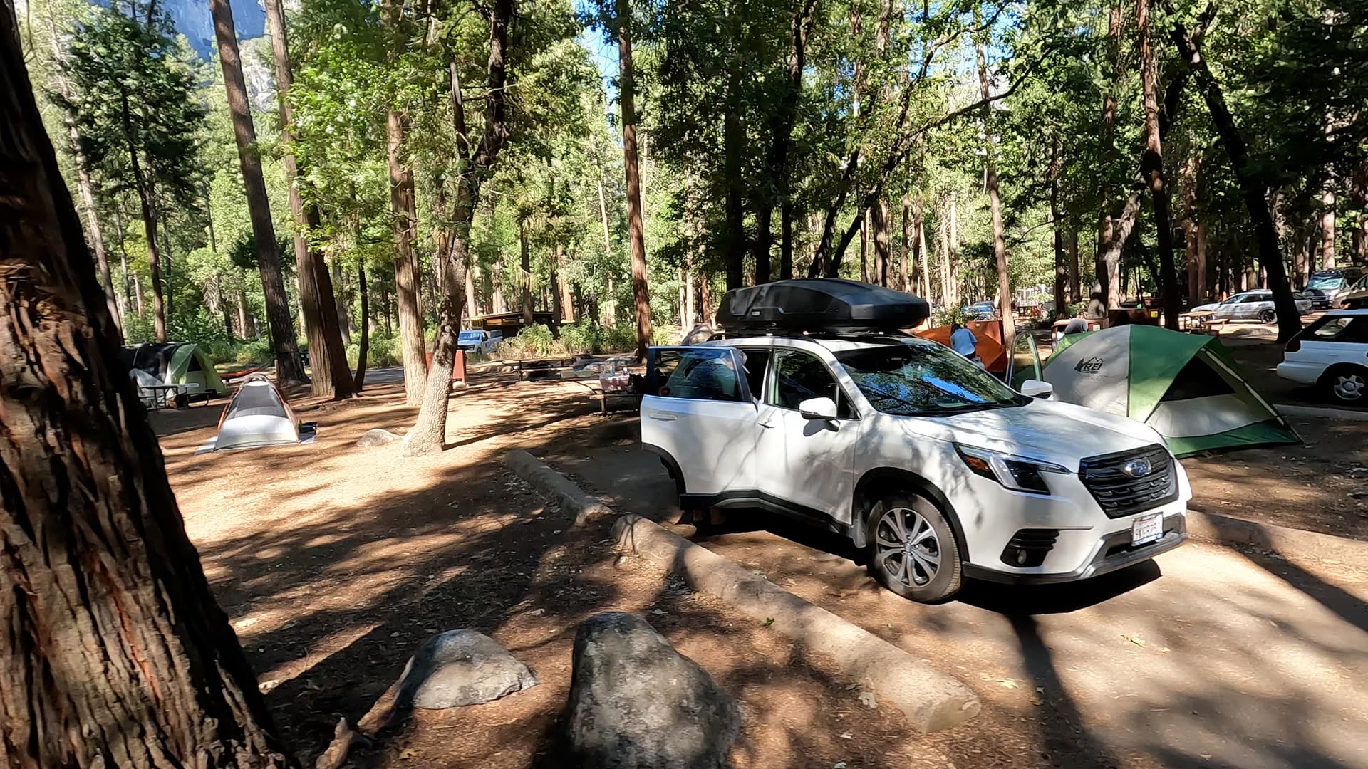
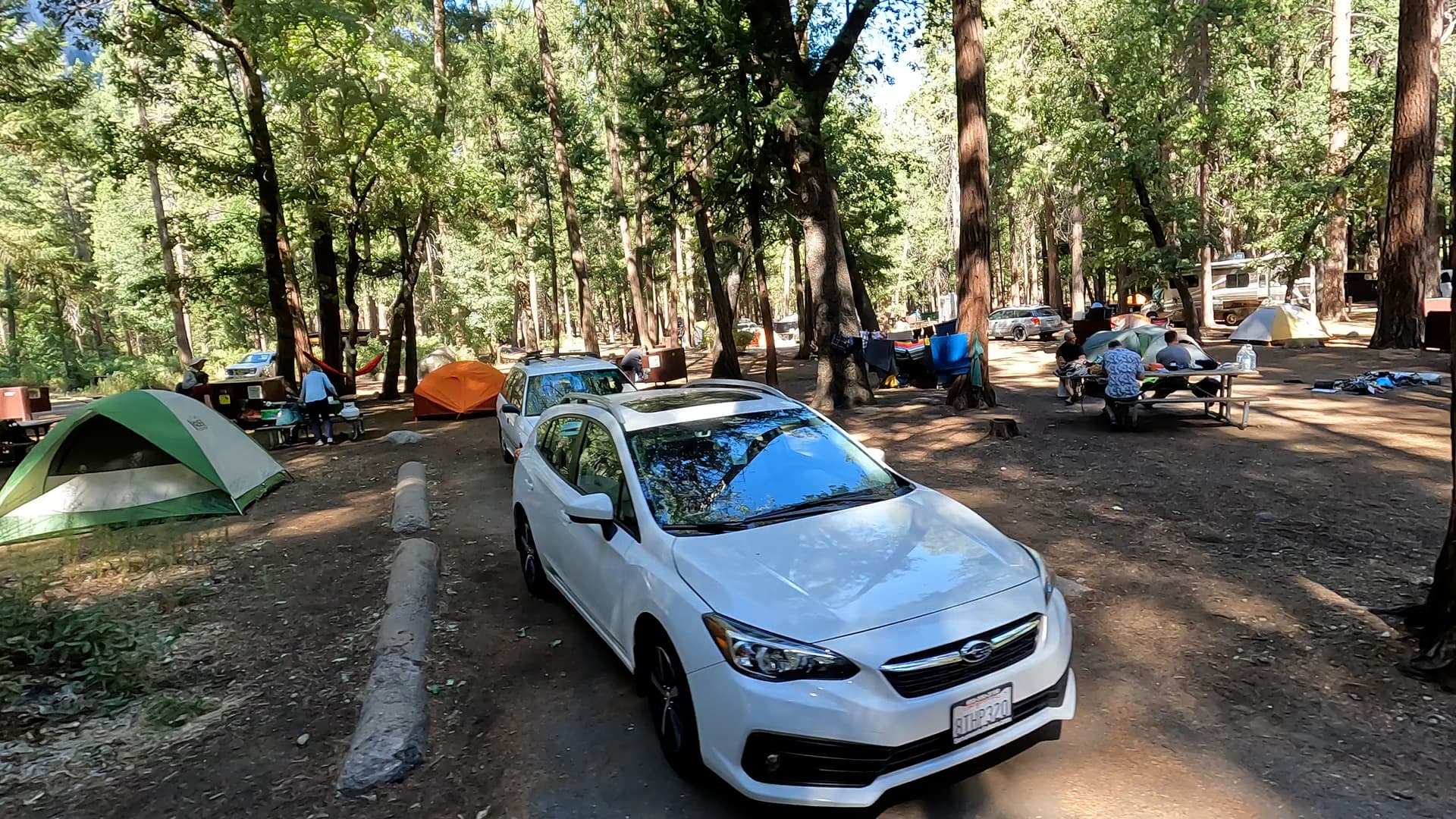
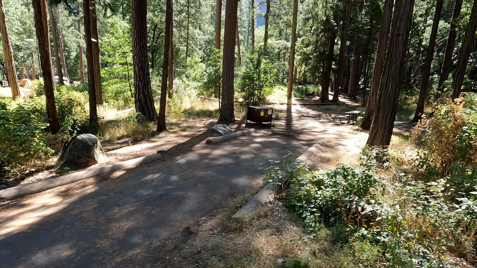
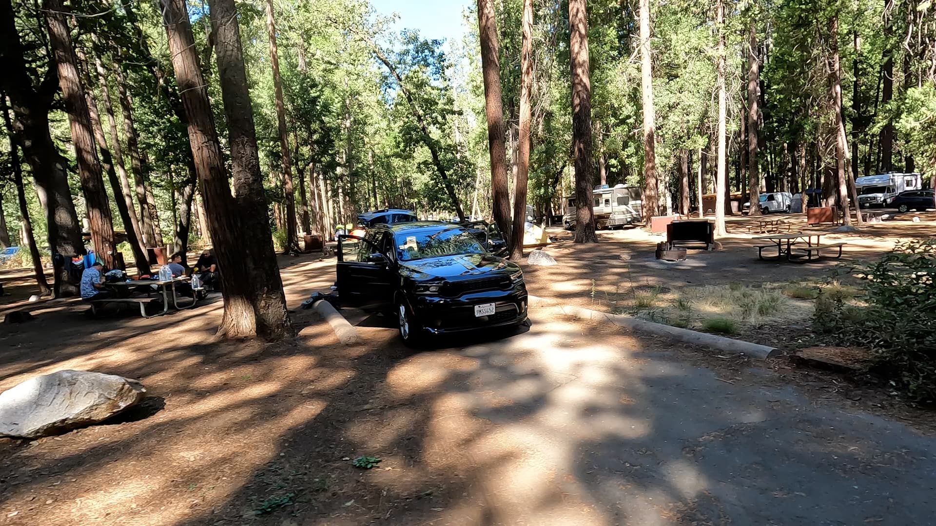
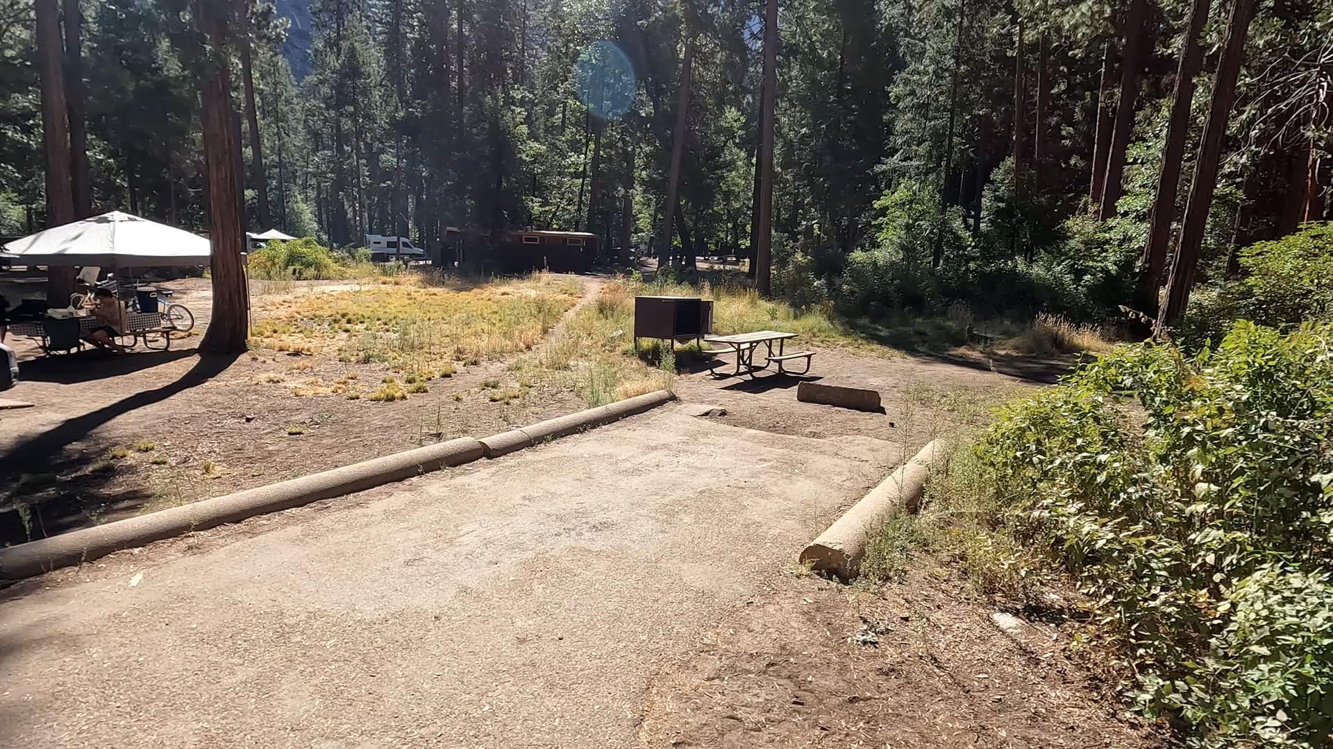
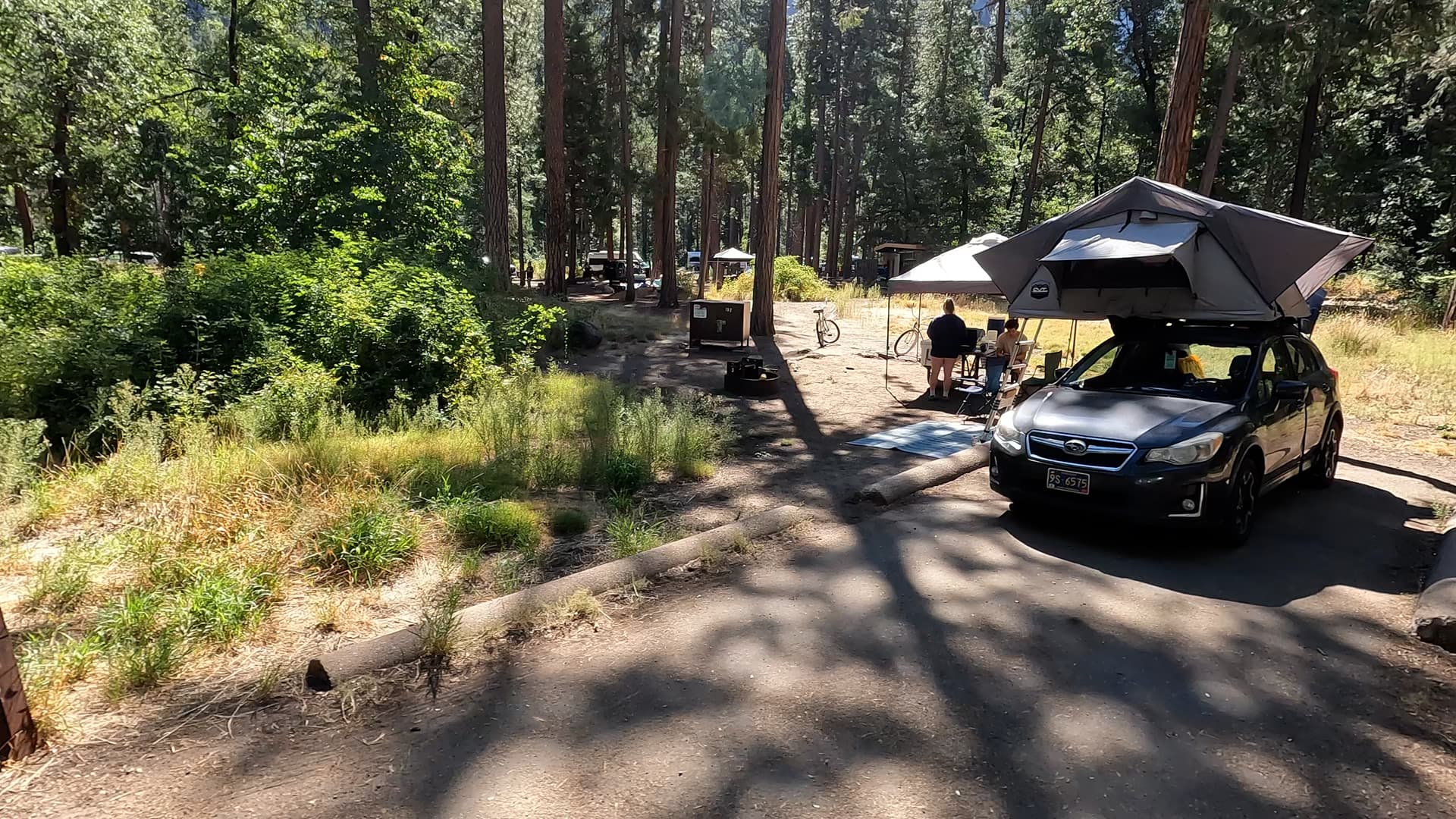
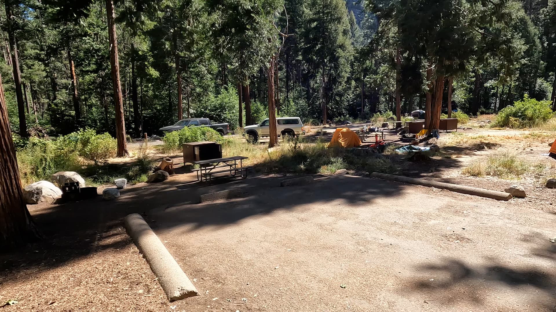
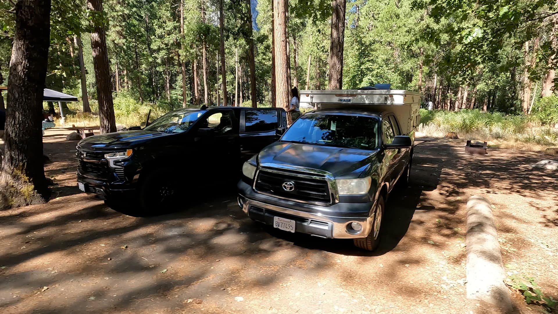
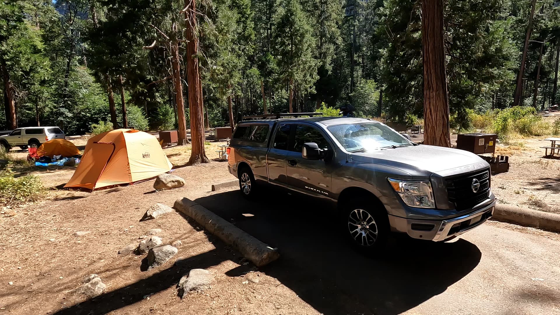
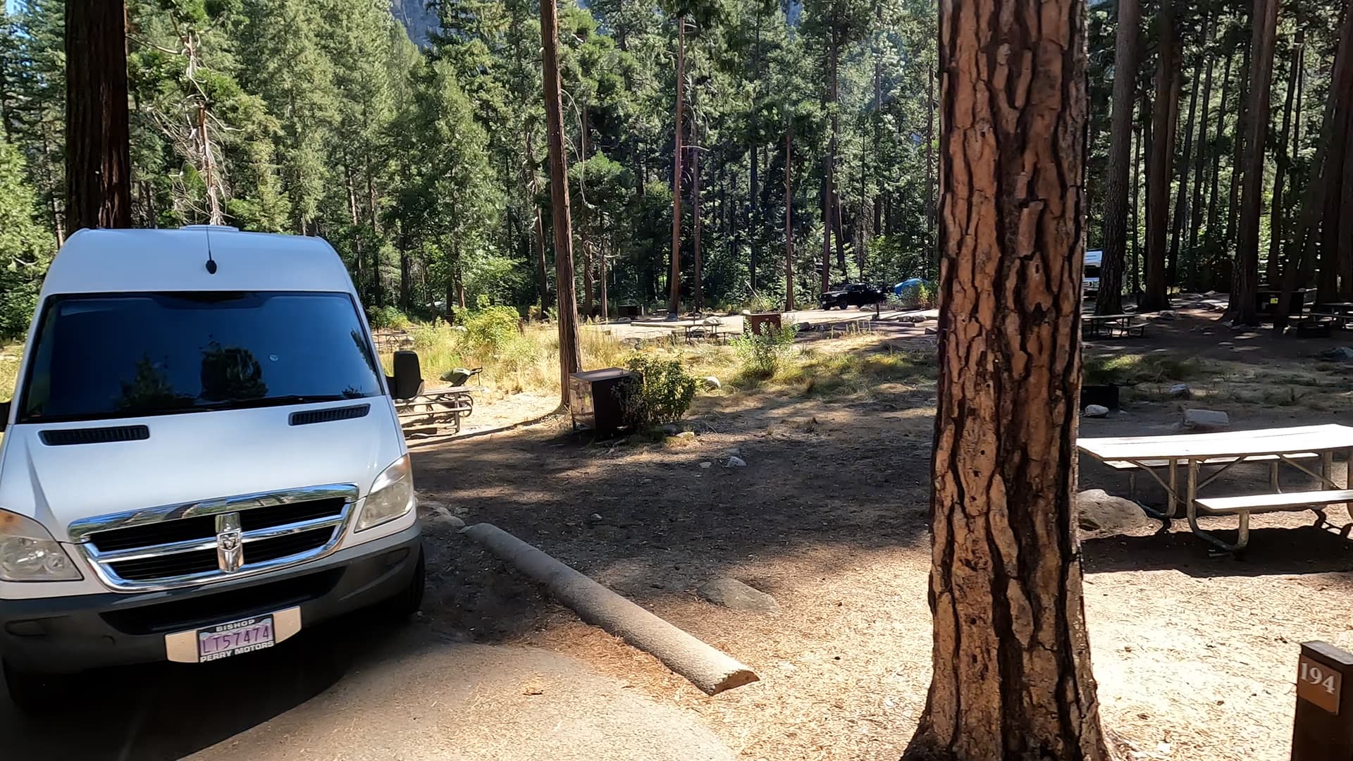
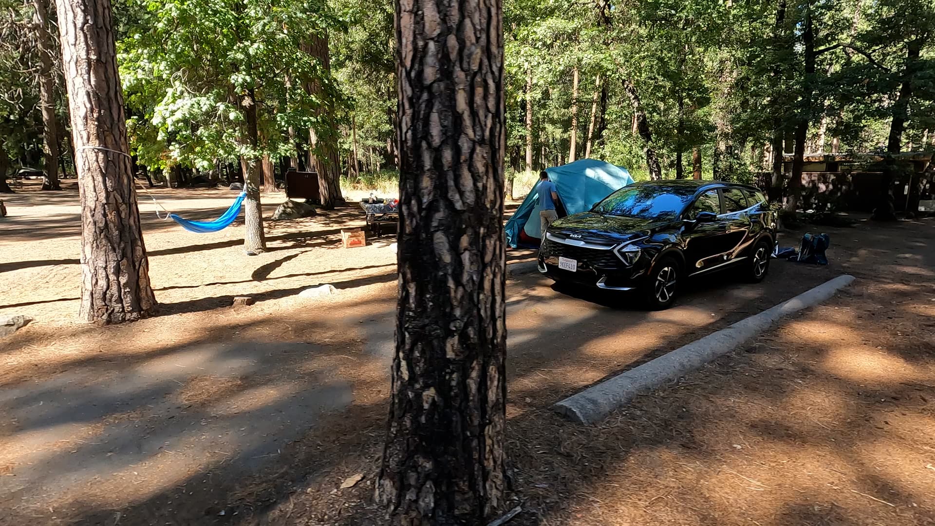
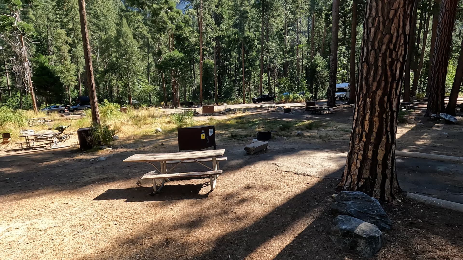
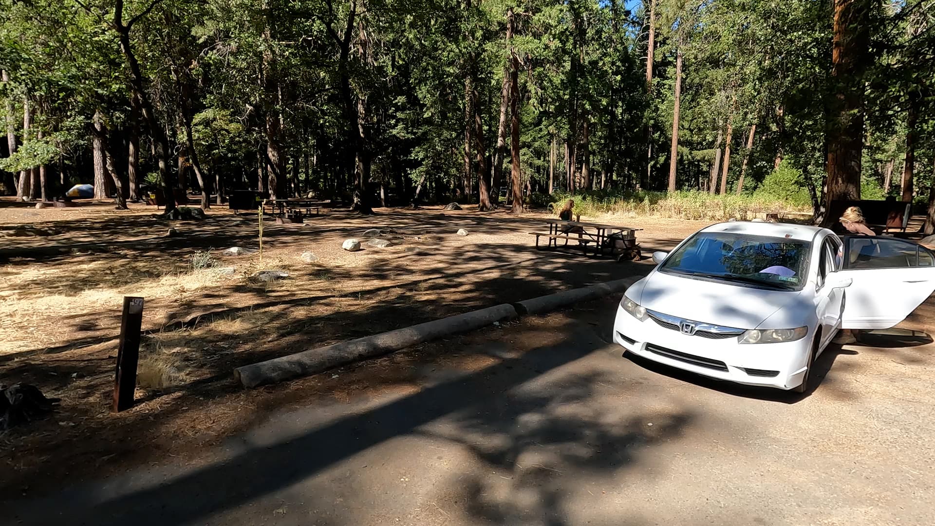
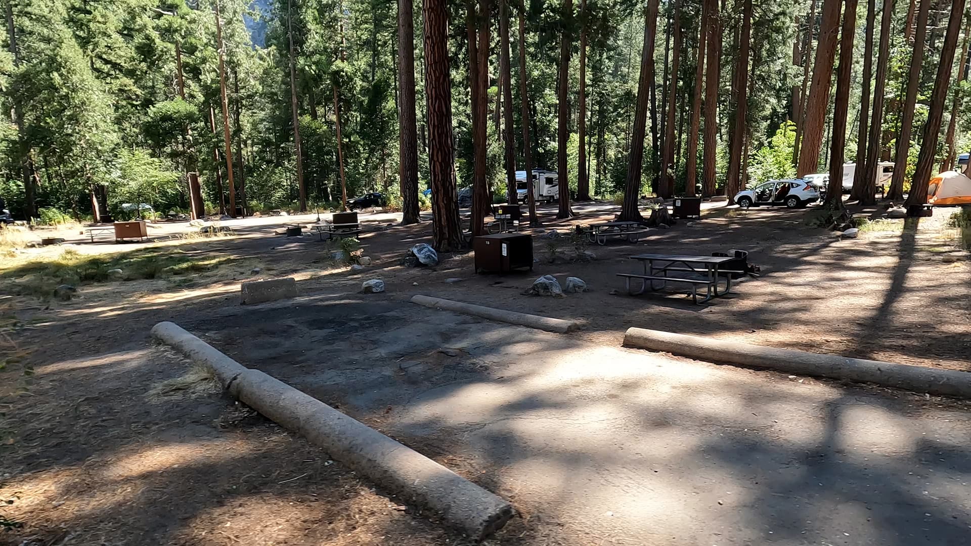
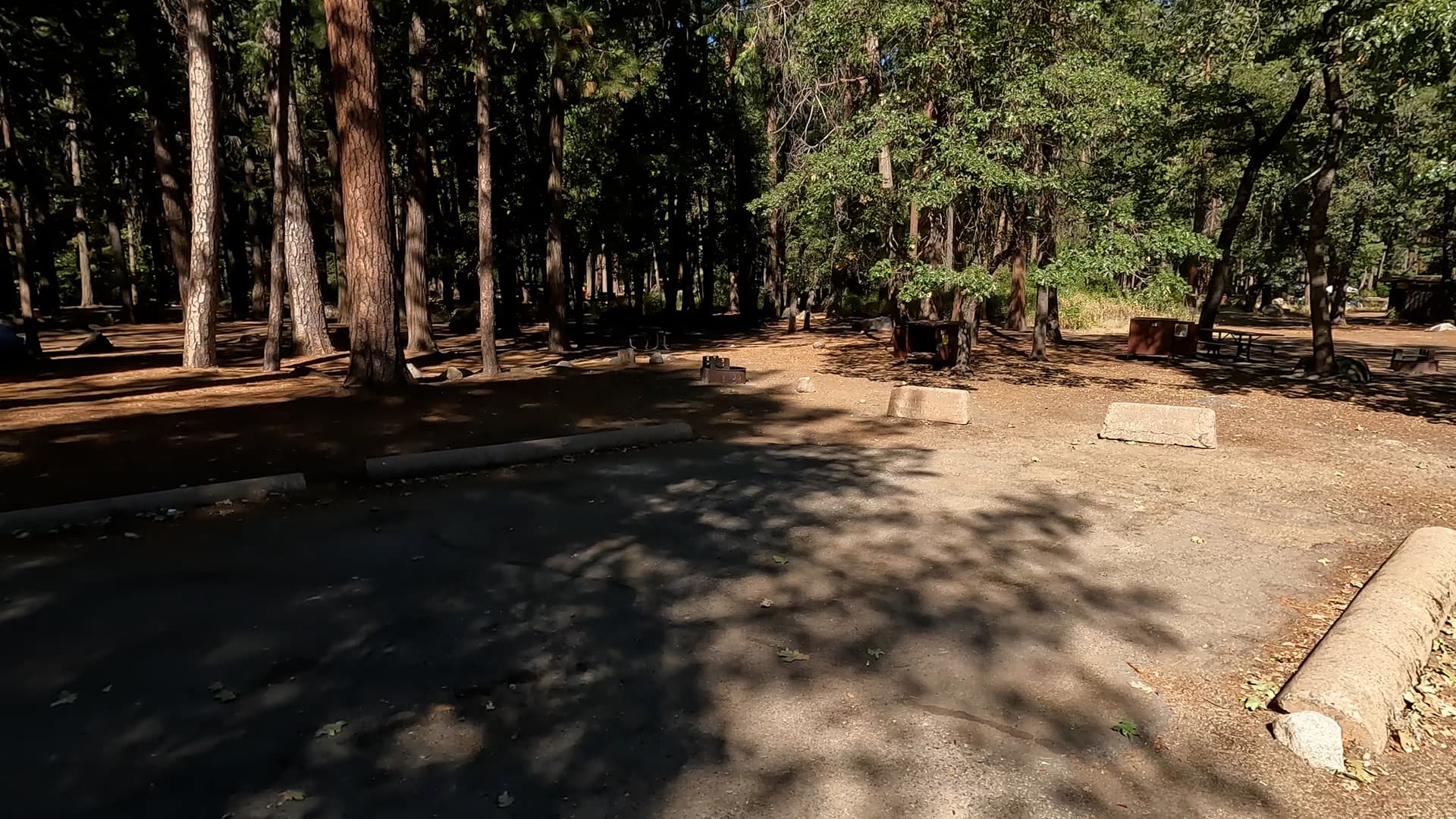
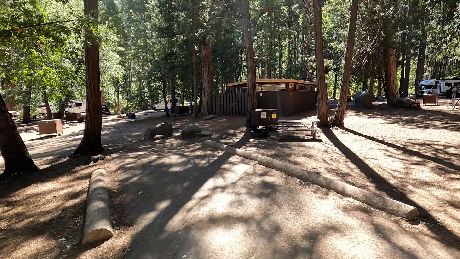
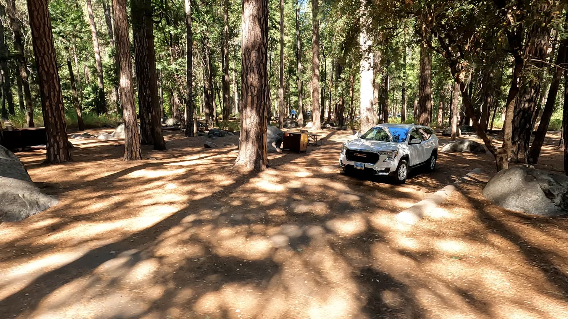
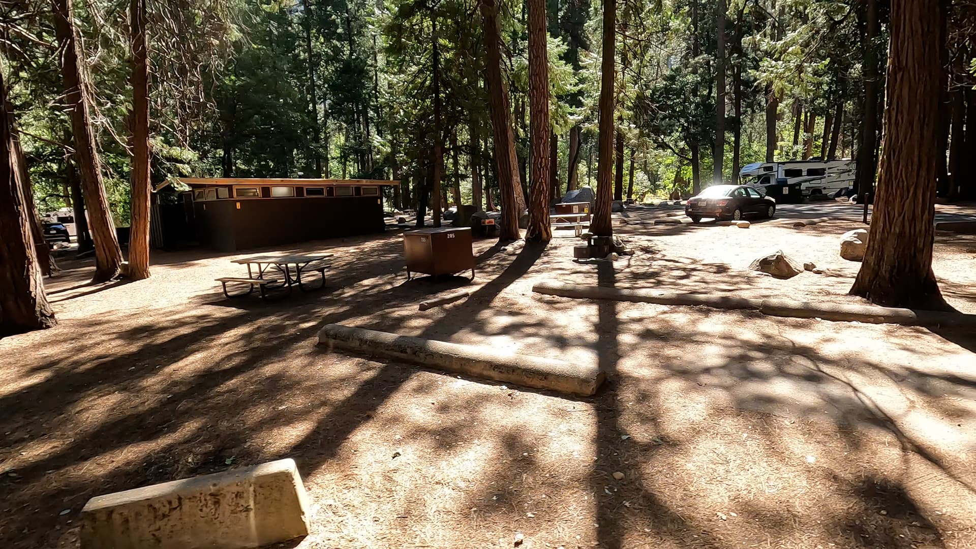
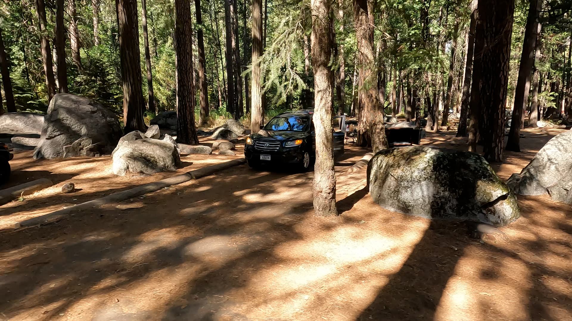
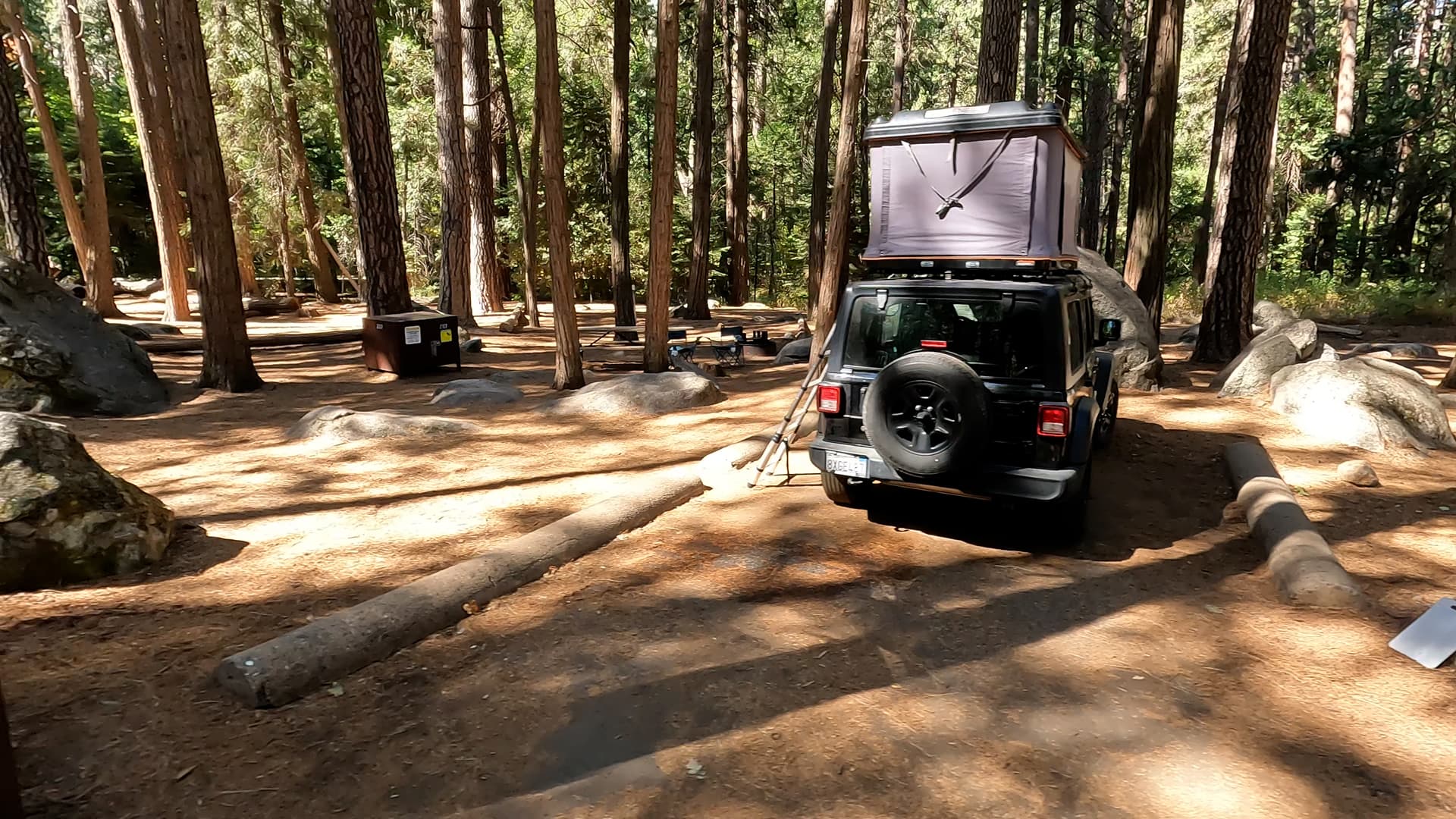
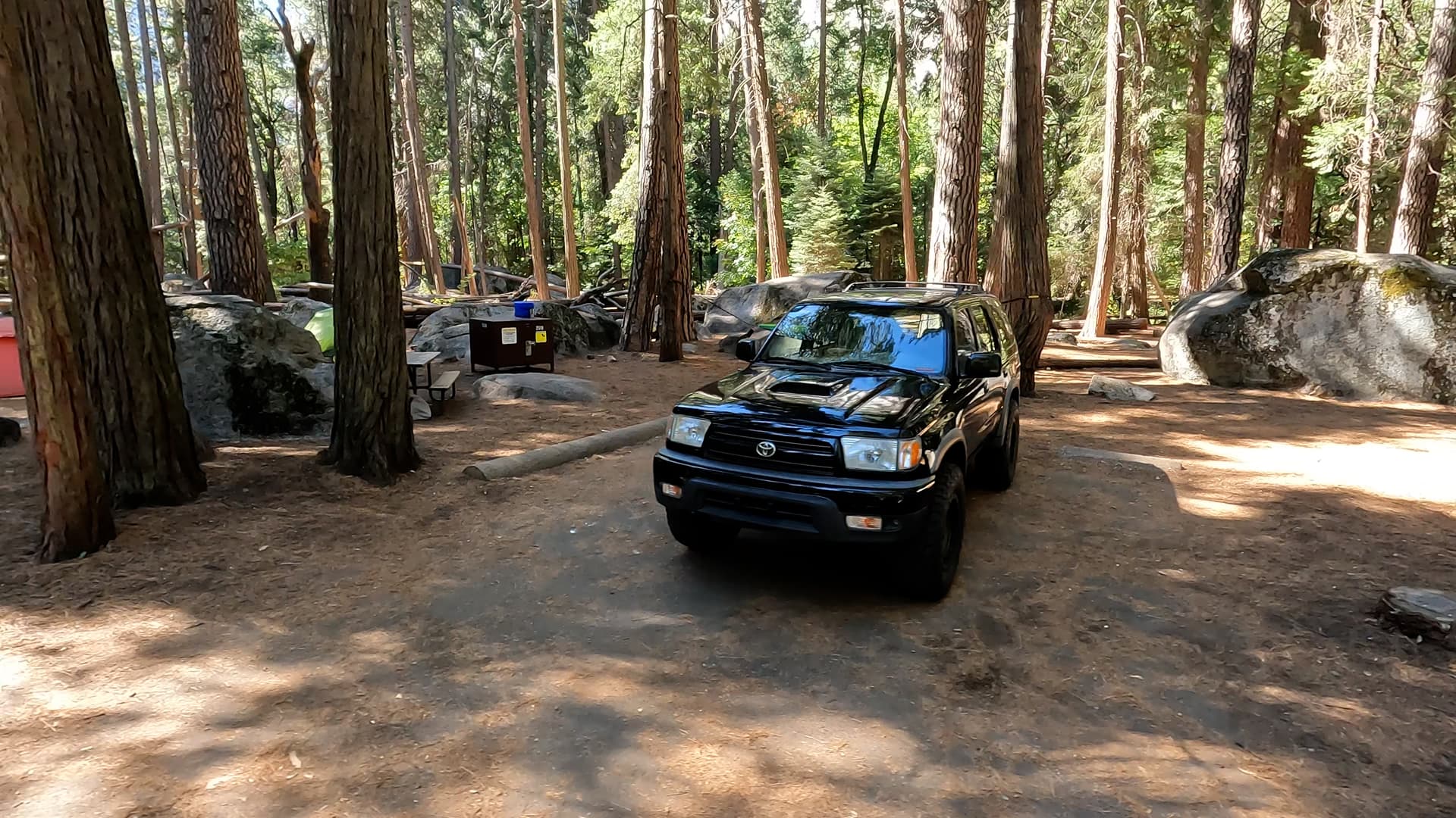
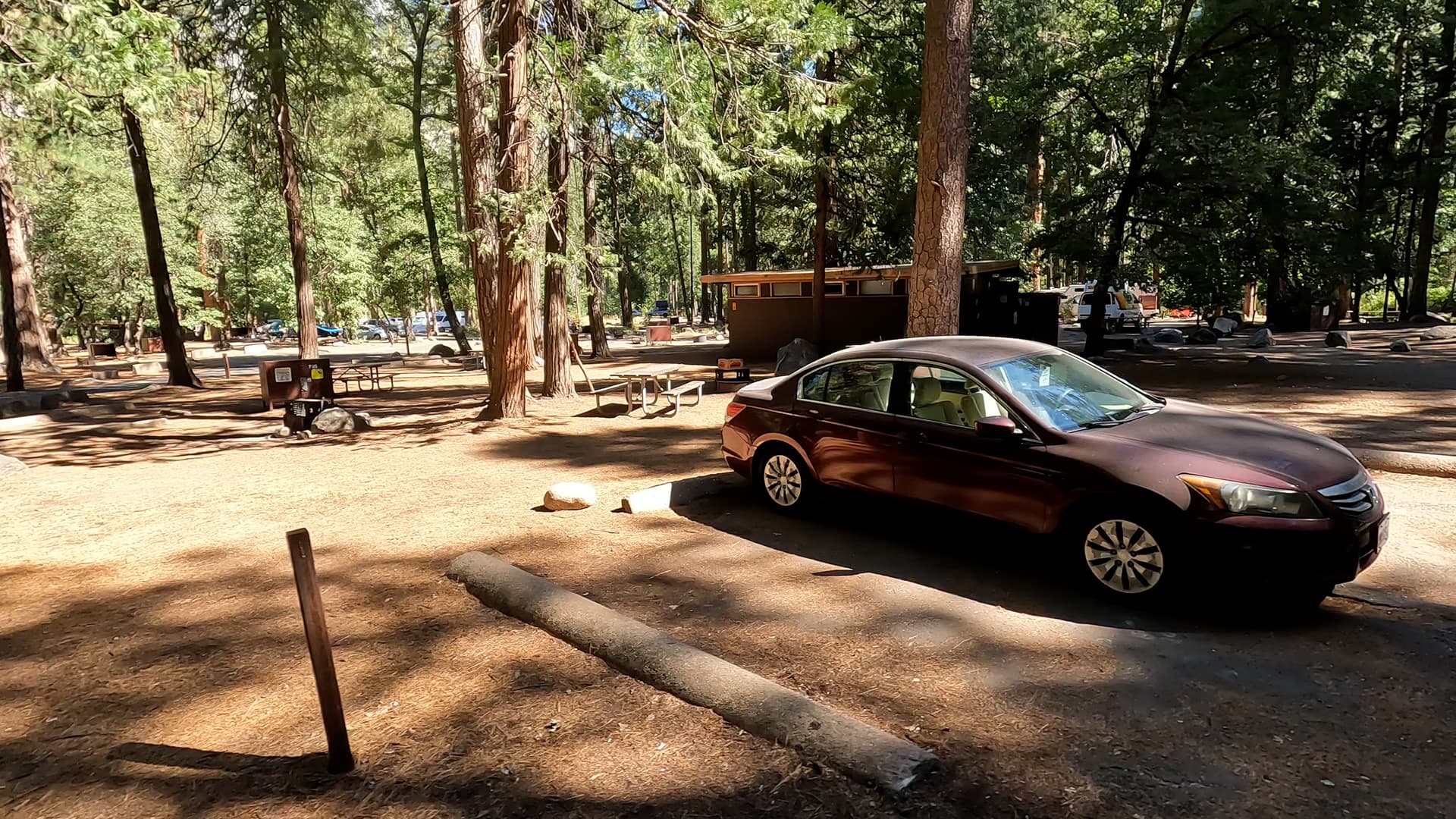
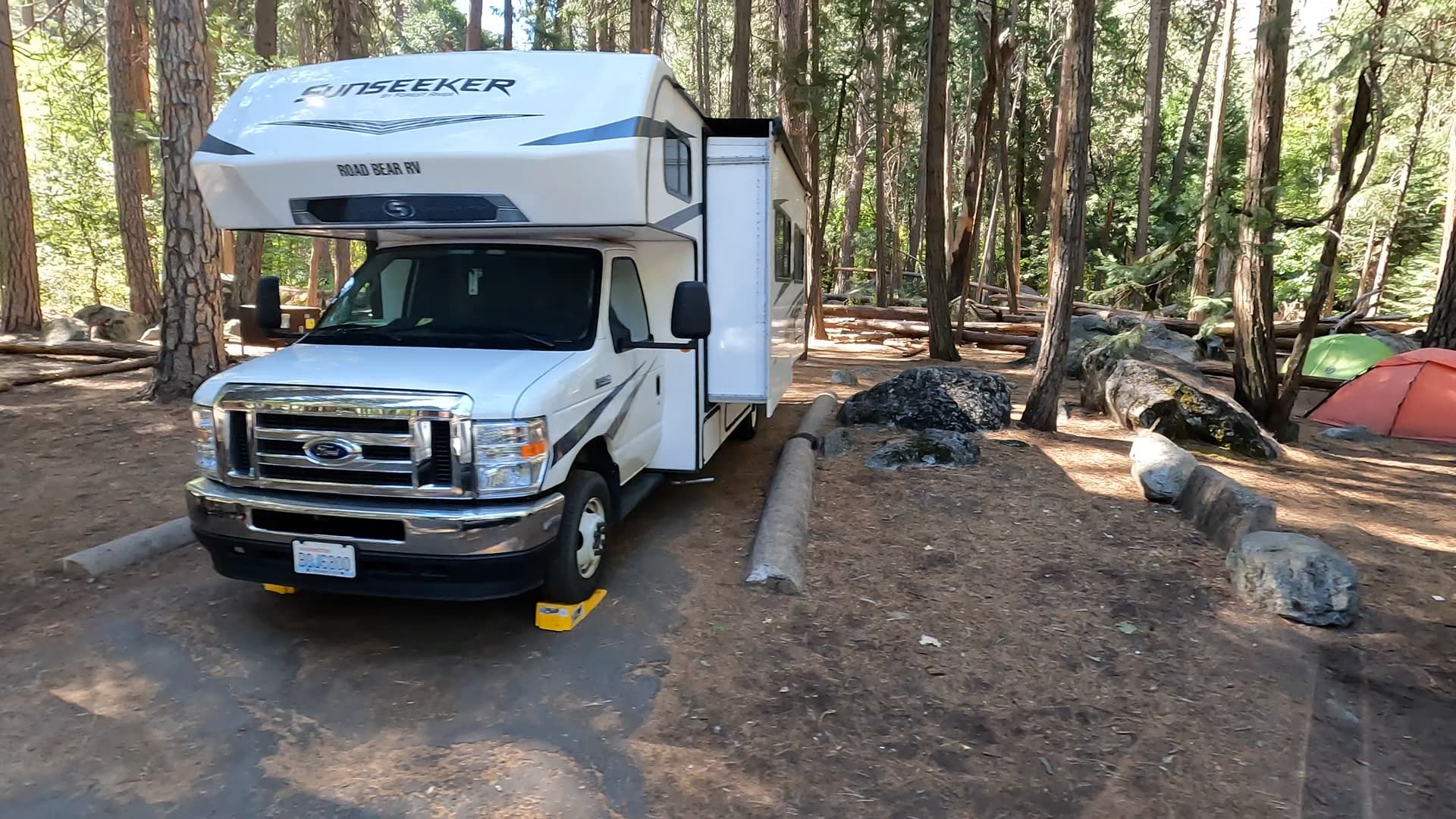
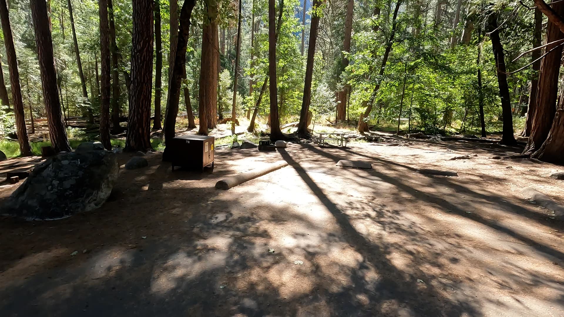
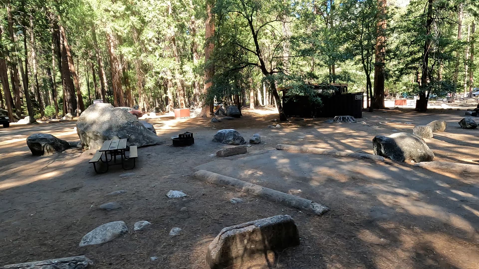
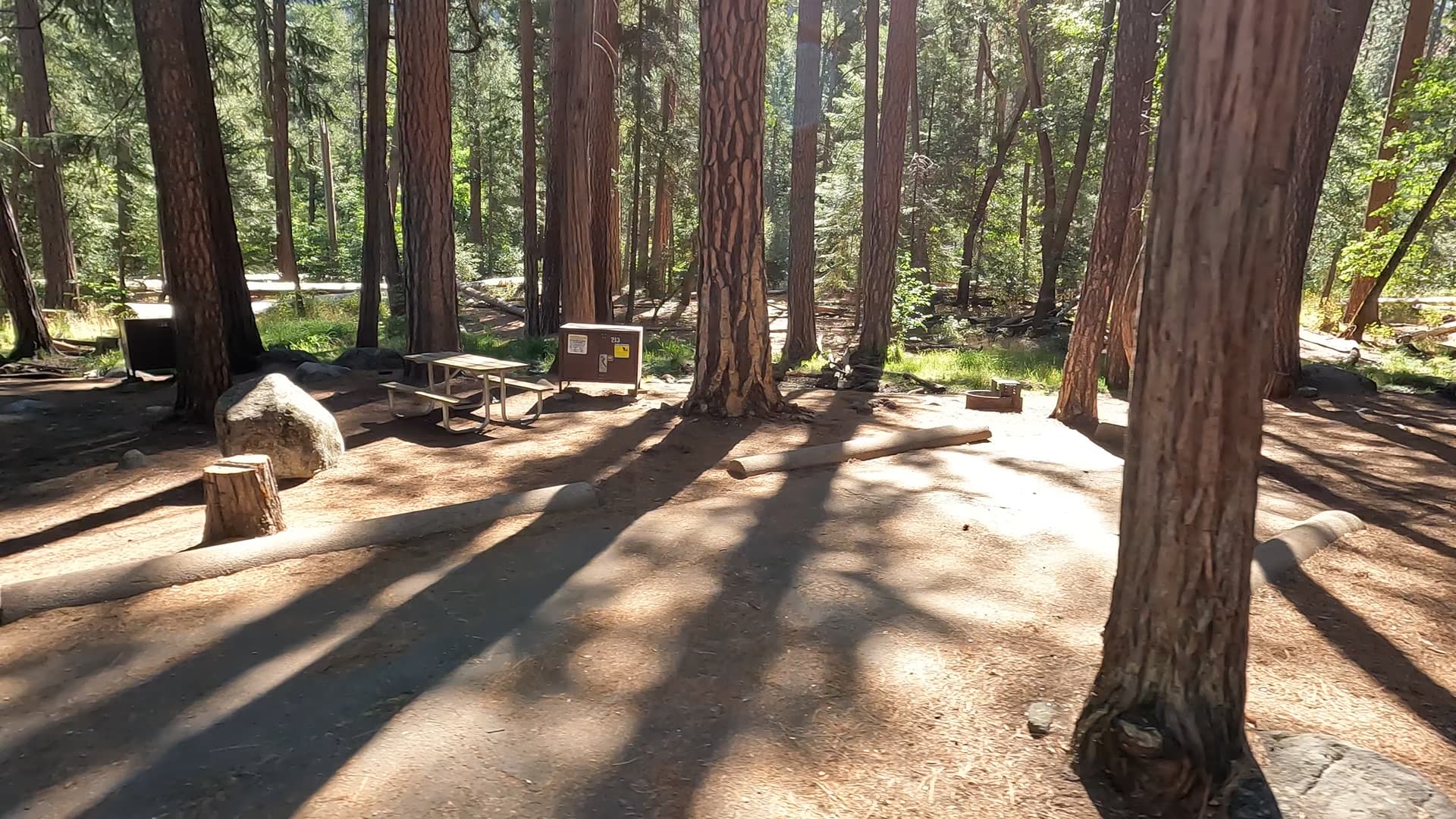
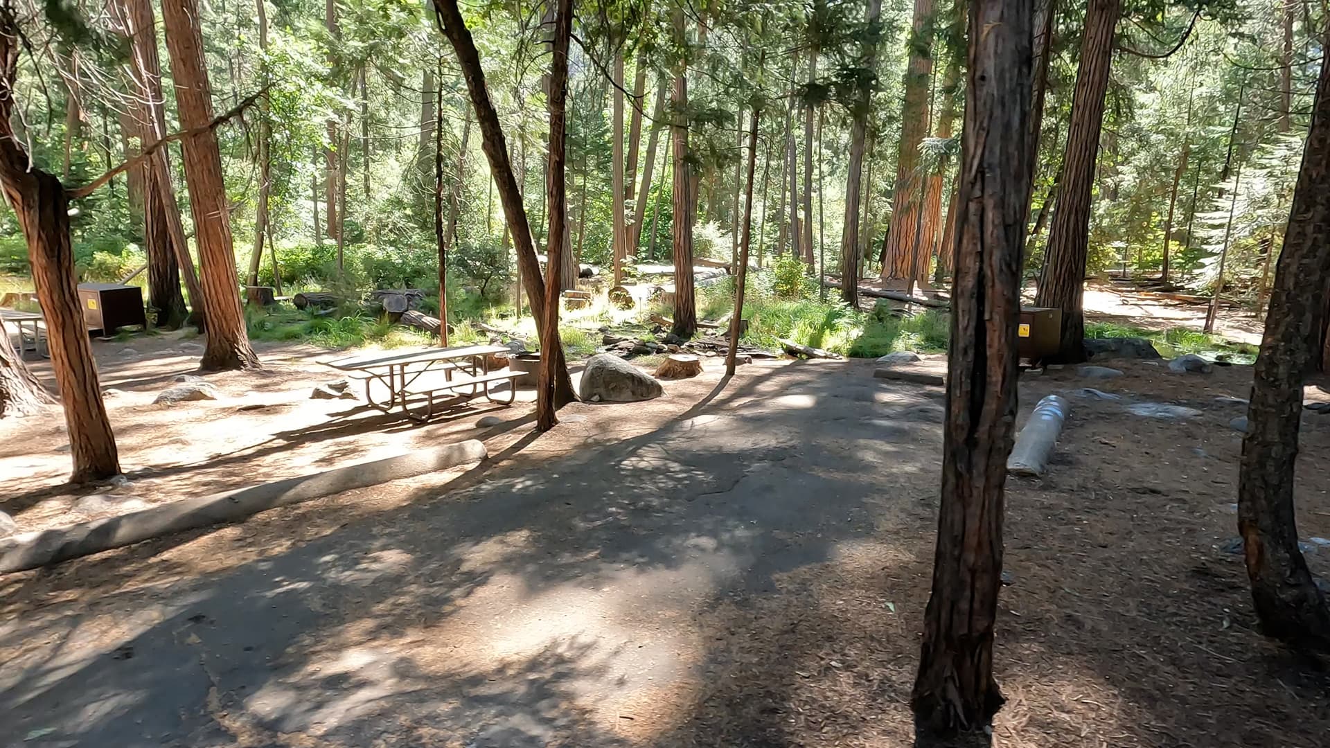
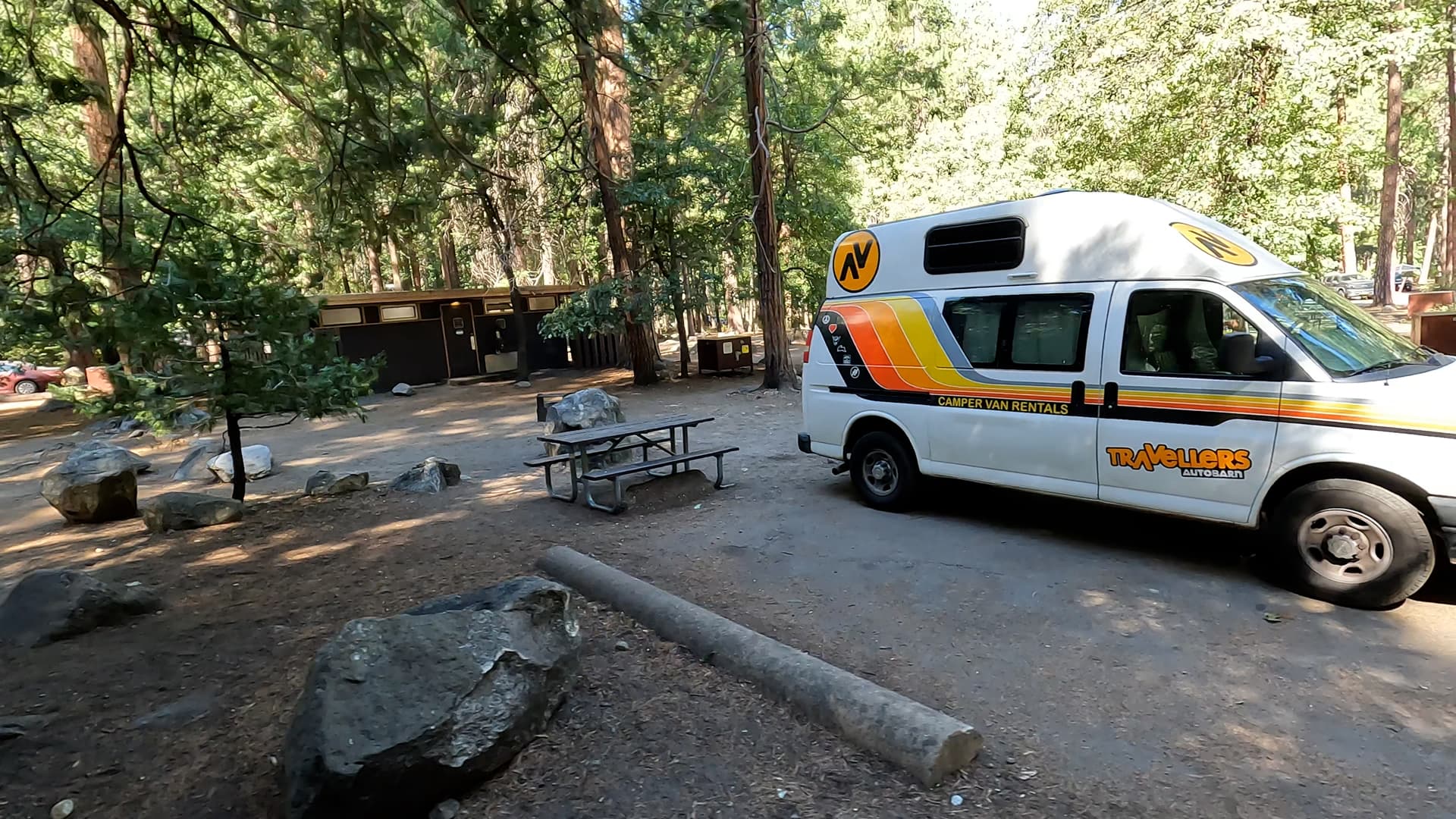
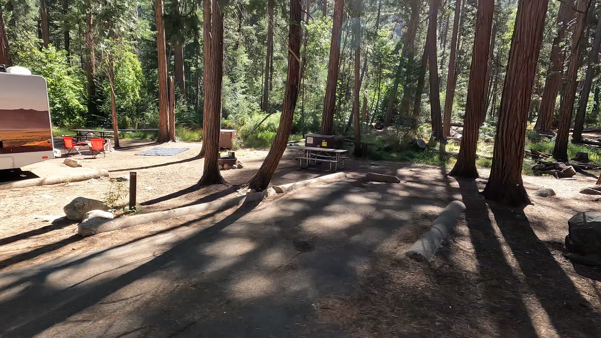
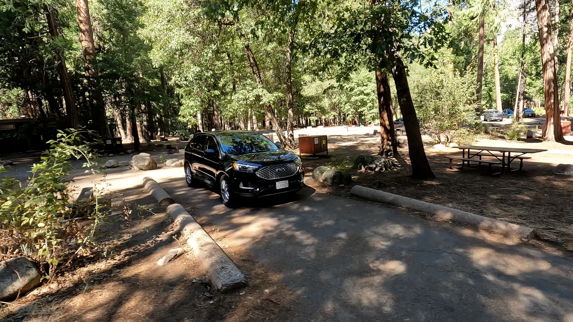
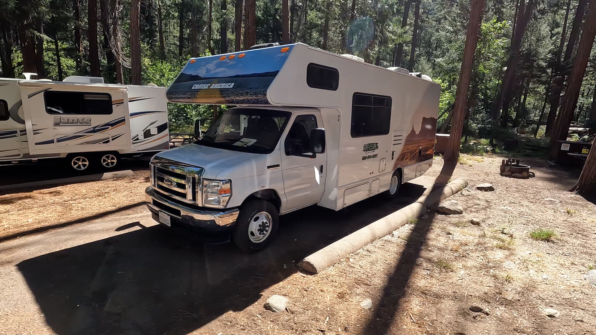
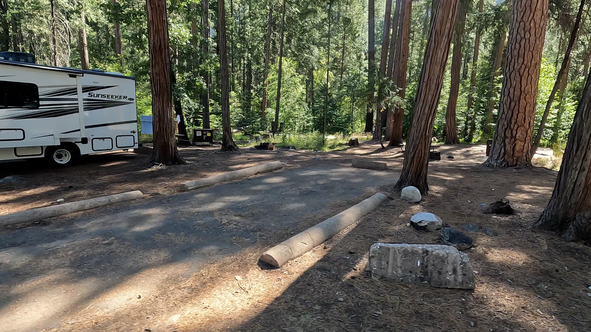
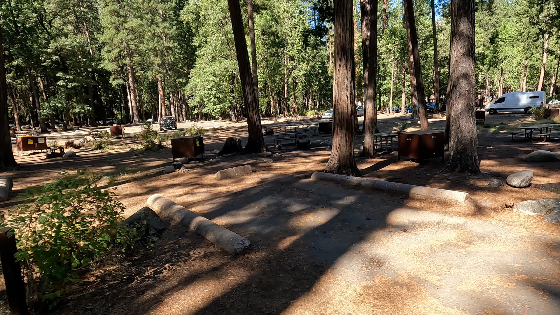
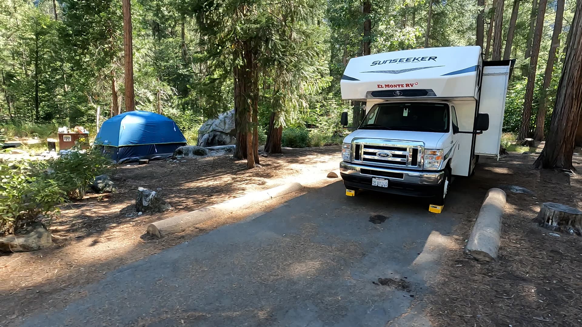
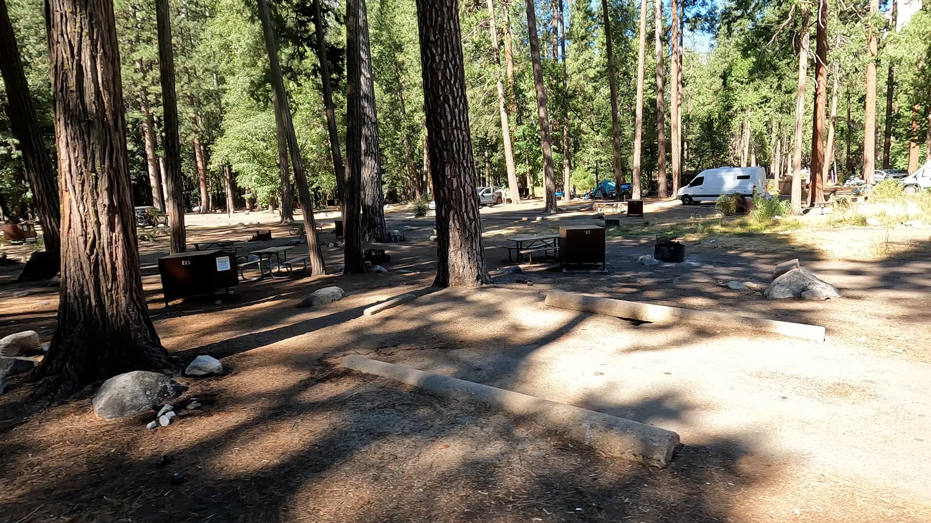
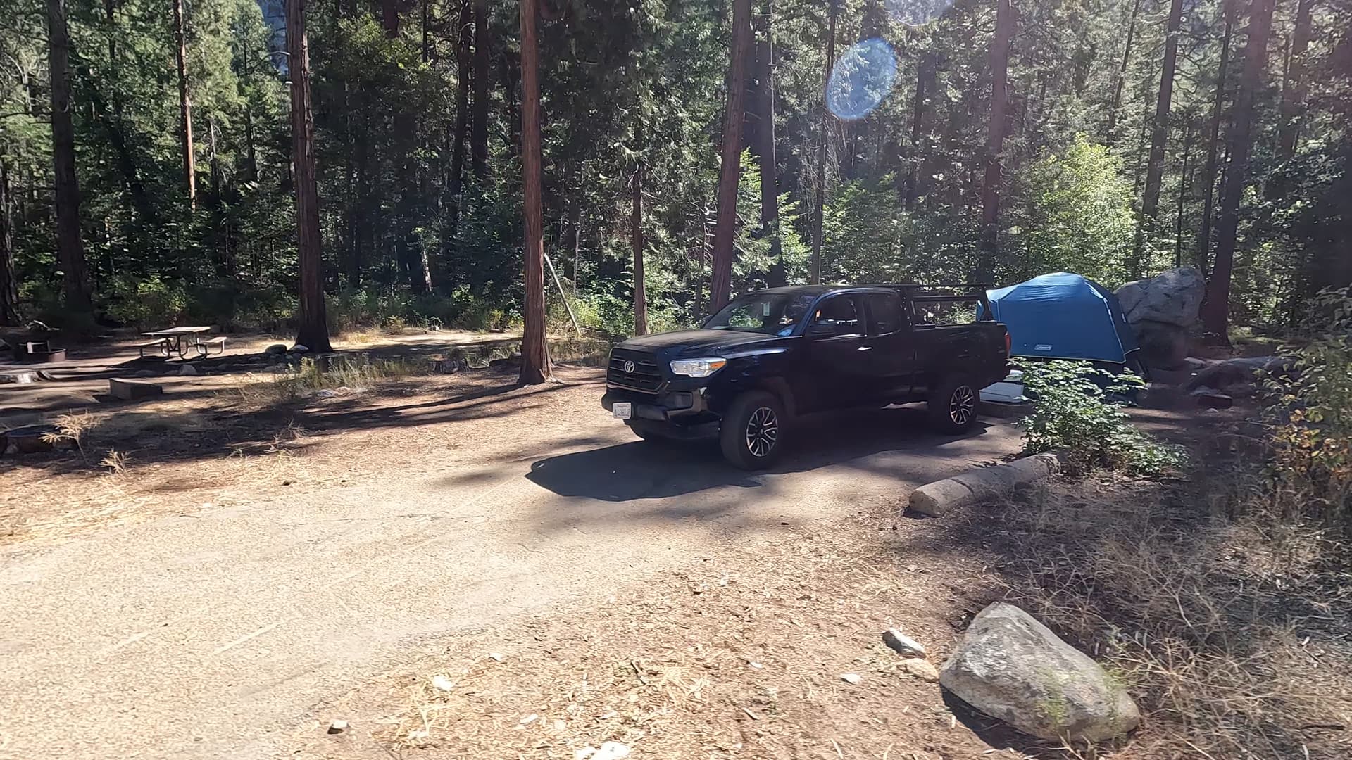
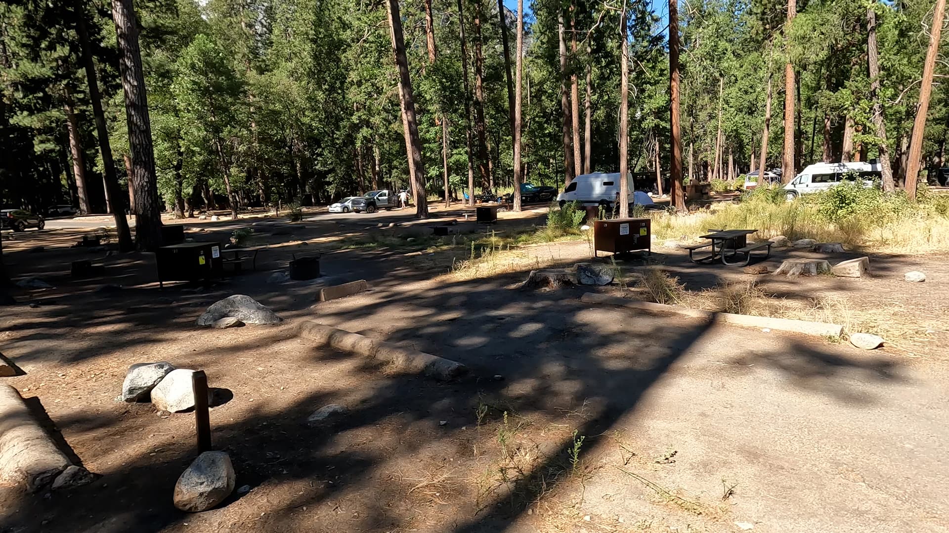
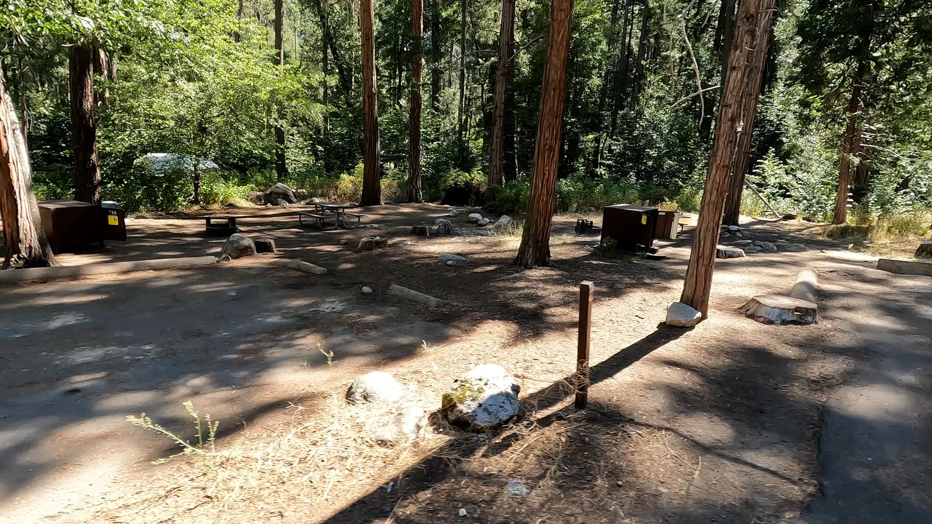
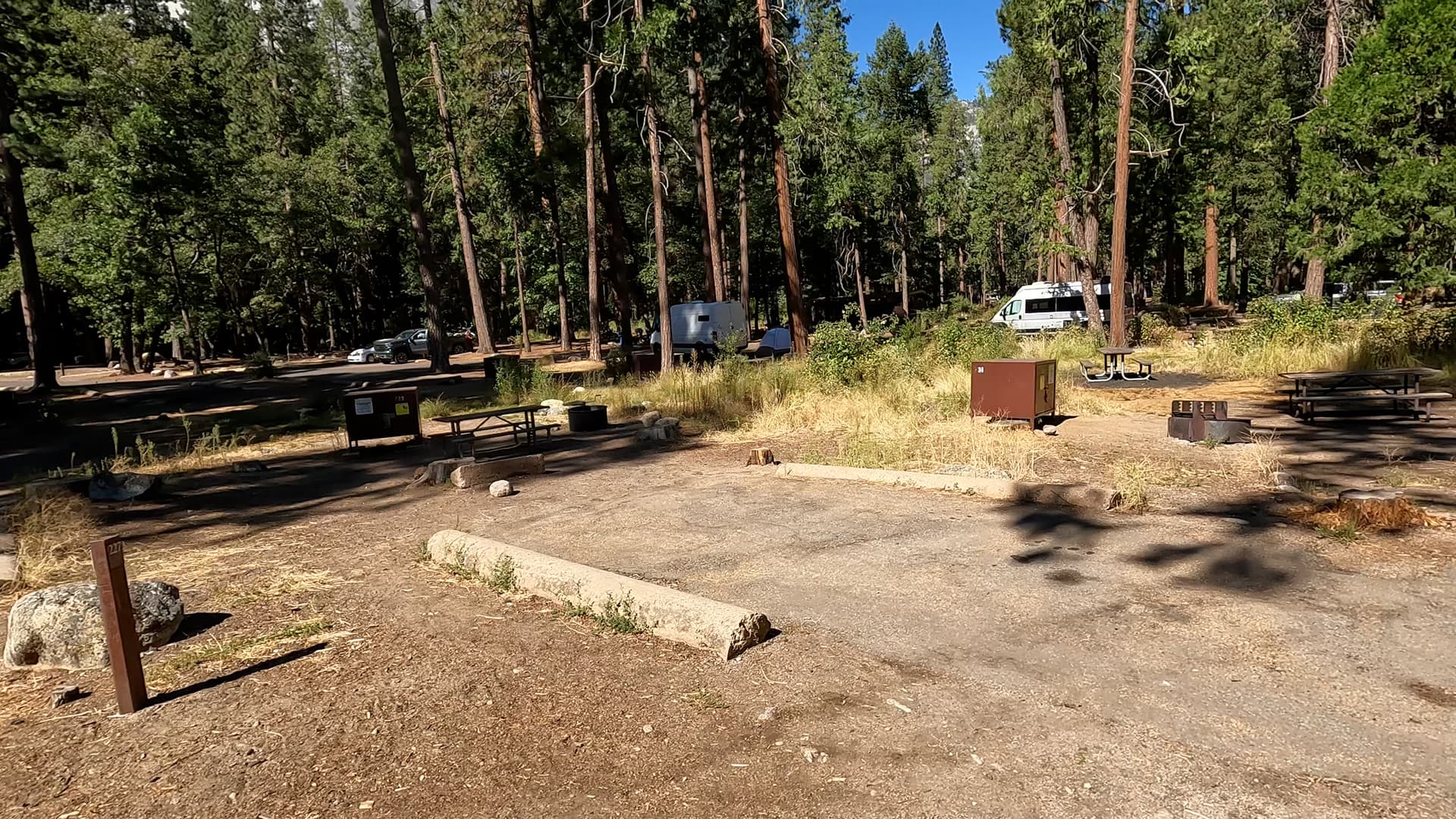
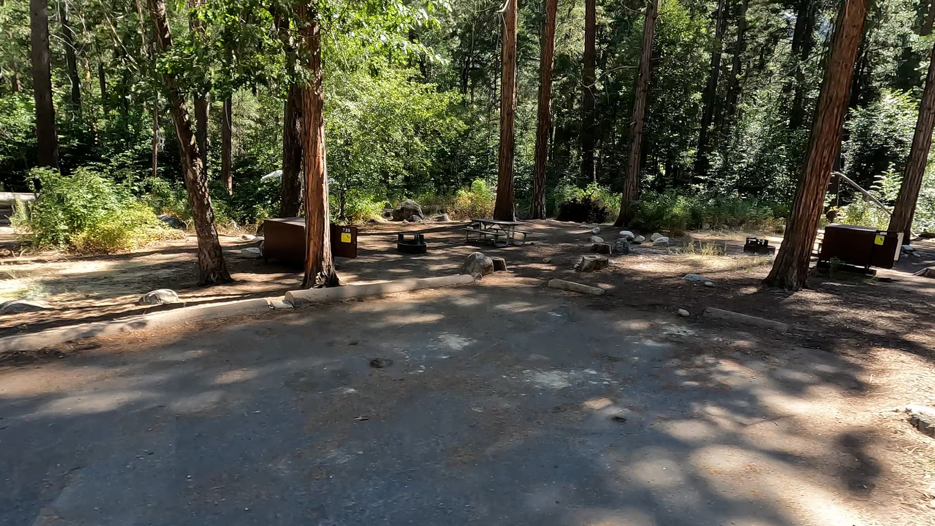
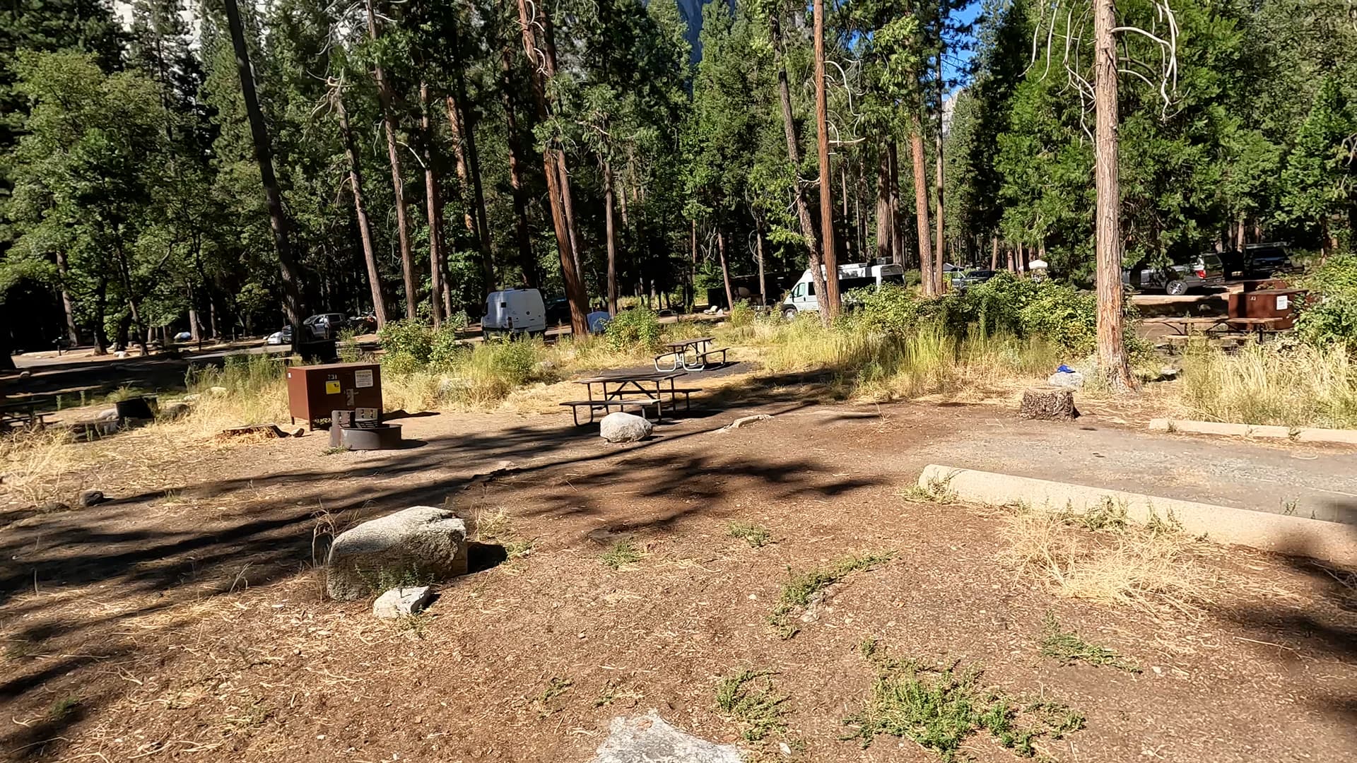
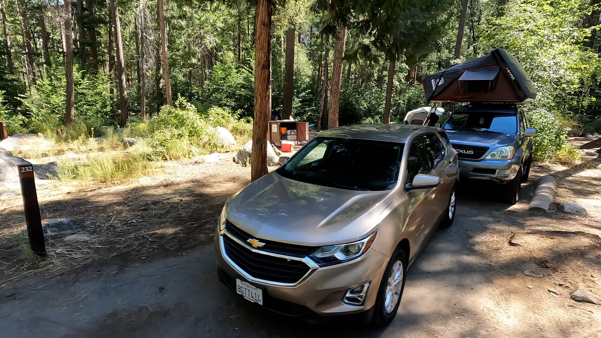
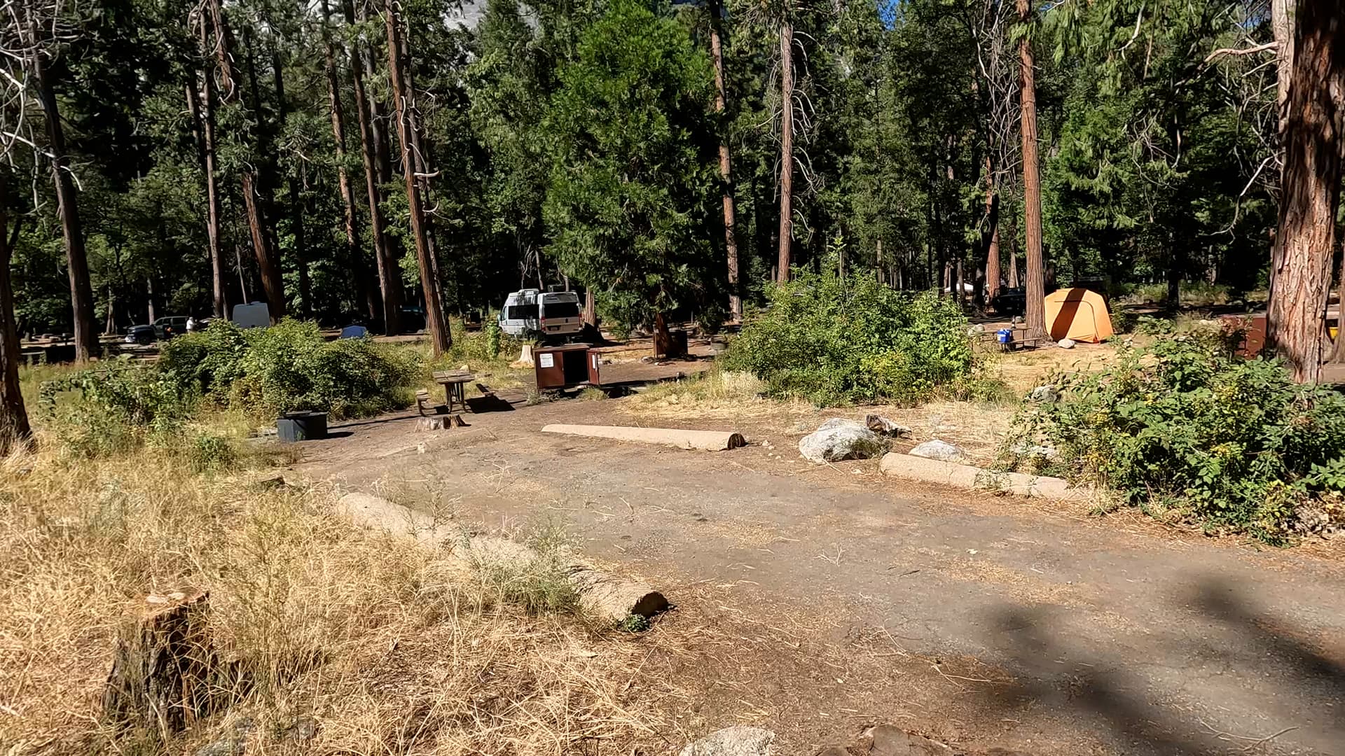
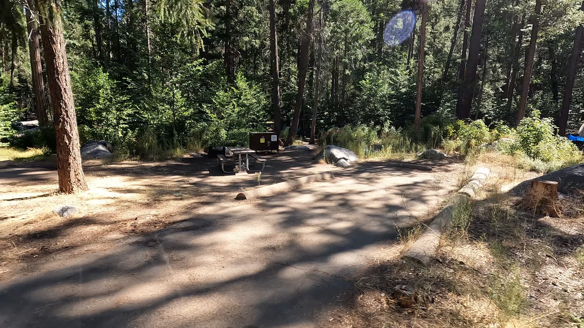
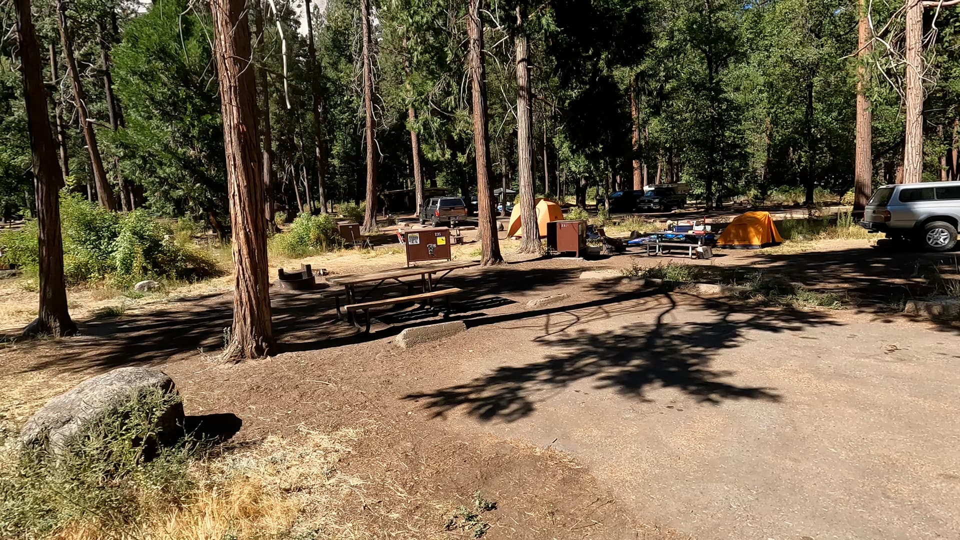
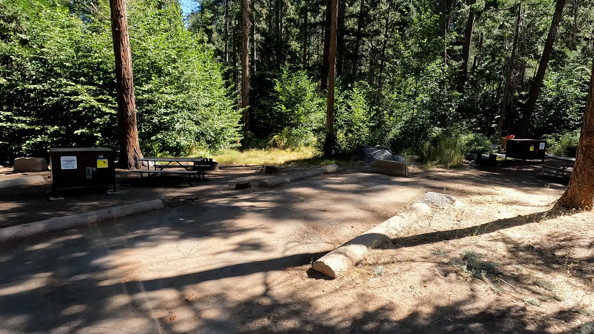
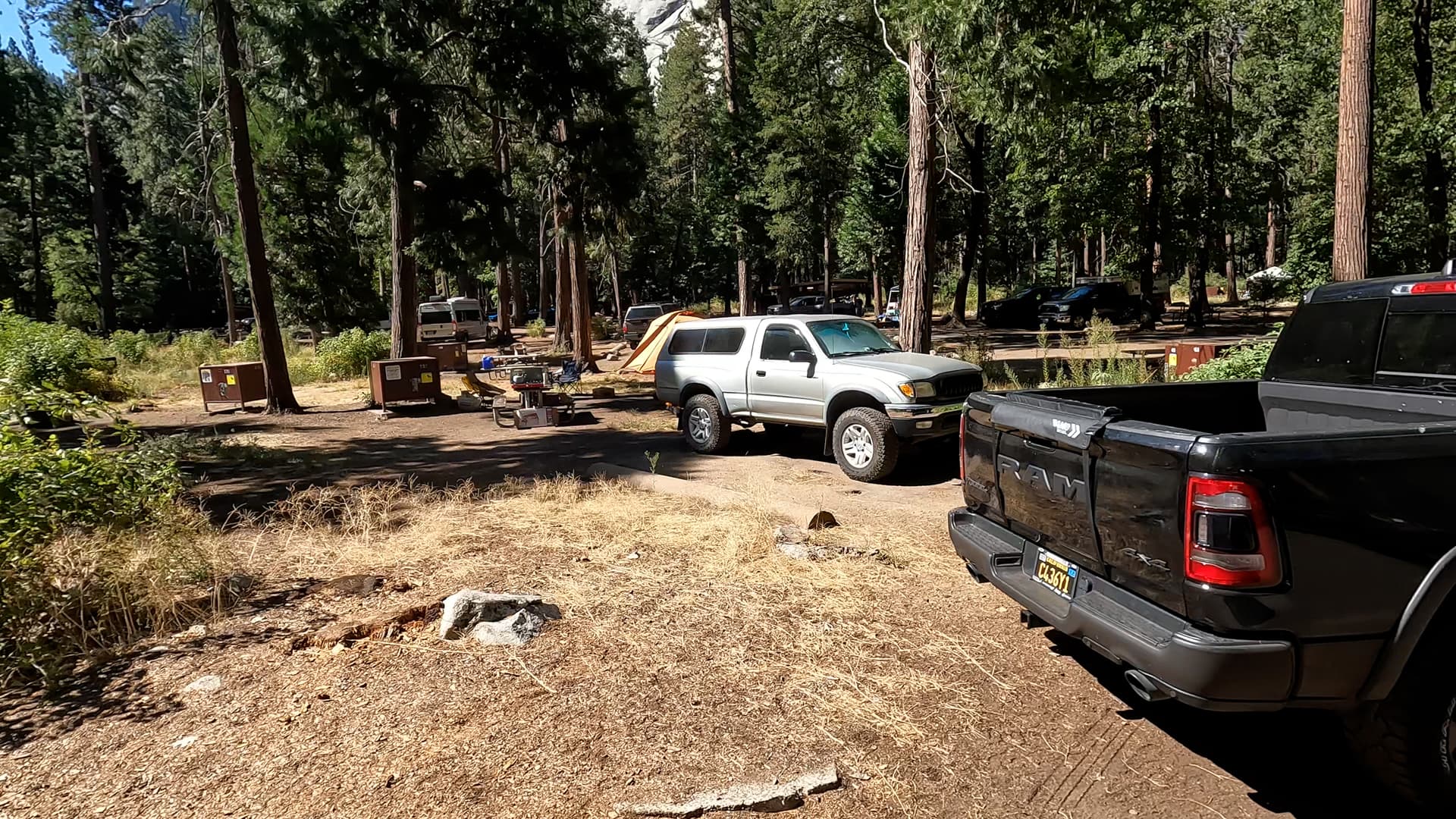
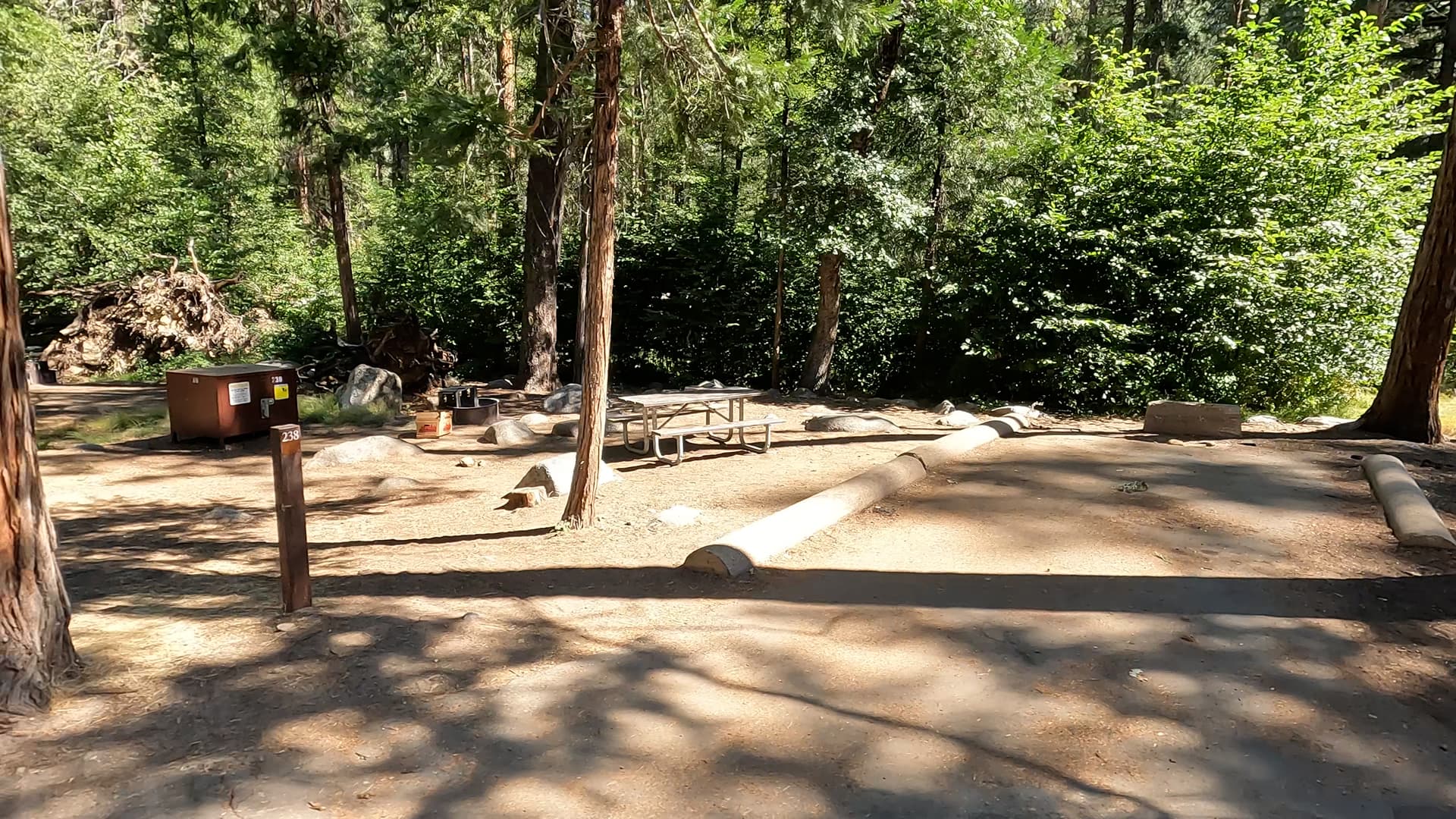
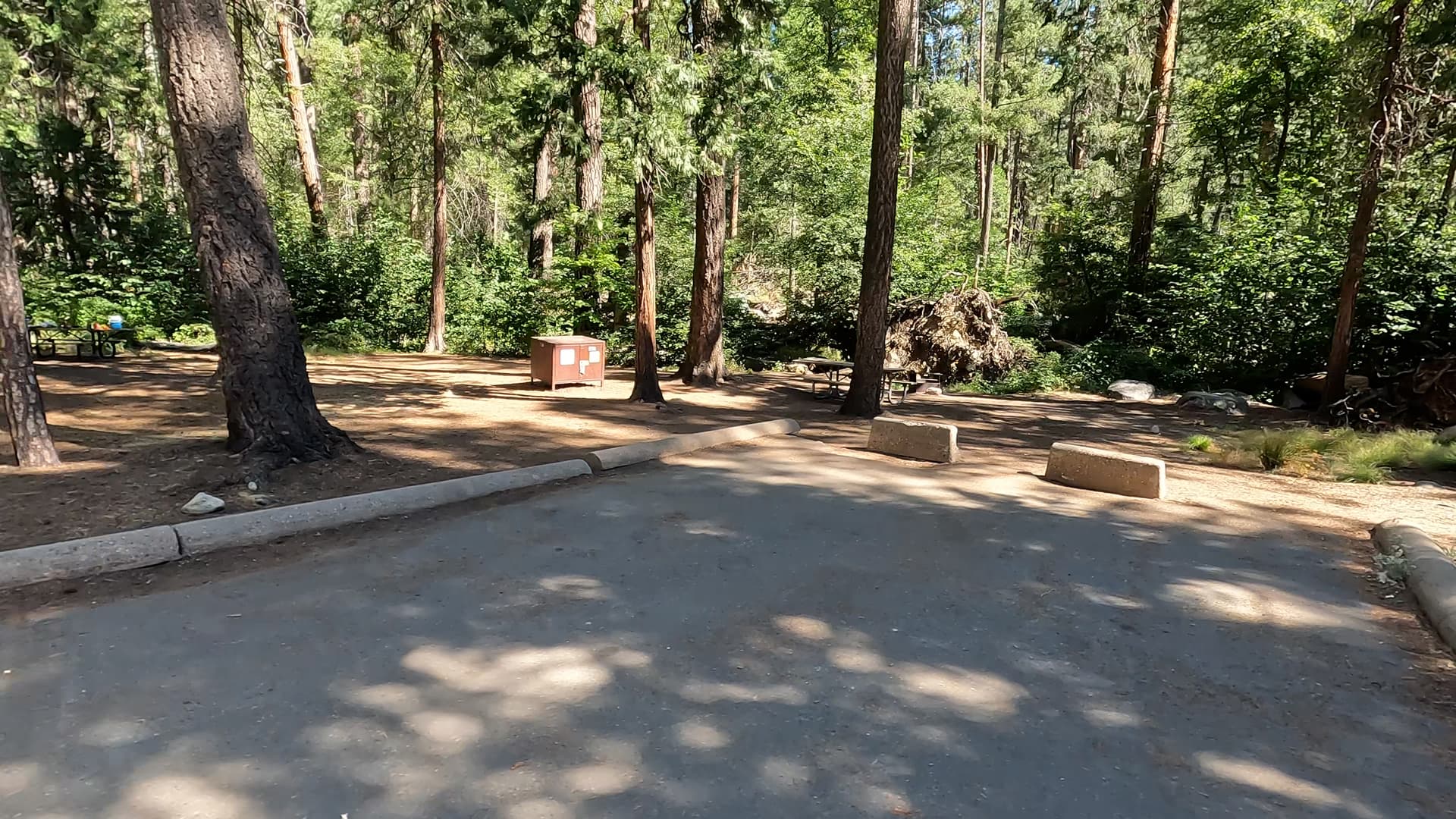
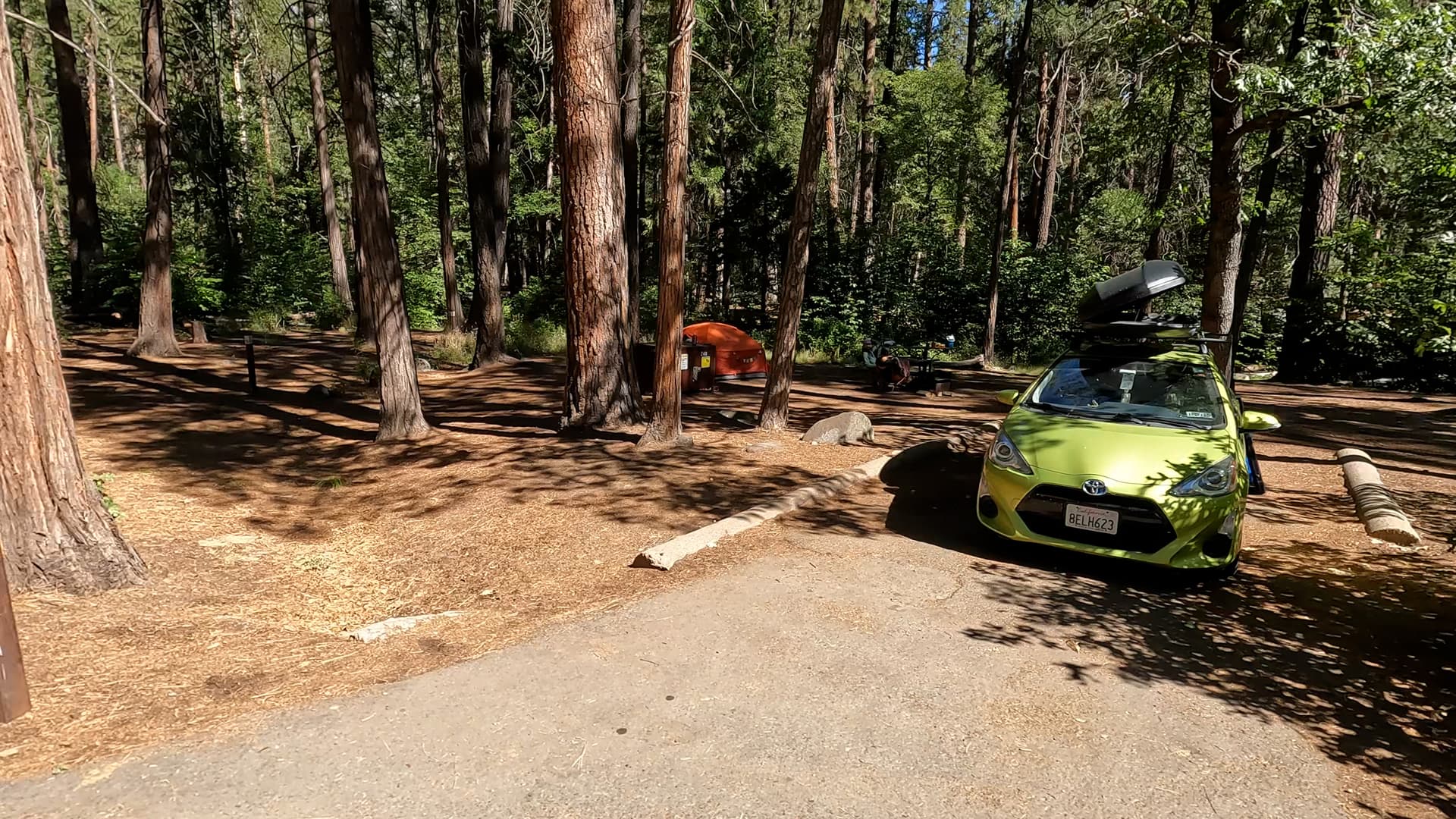
Featured: Cedar Bluff, Chilkoot, College, Crane Flat, Deer Creek, Forks, Hodgdon Meadow, Kelty Meadow, Lower Billy Creek, Lower Pines, Lupine, North Pines, Rancheria, Spring Cove, Upper Pines, Vermilion, Wawona, Wishon Point
Experience Yosemite’s beauty from the valley floor to Glacier Point. Stop at iconic spots like El Capitan, Bridalveil Fall, and Tunnel View before ascending to breathtaking panoramas overlooking Half Dome and the vast wilderness beyond. Yosemite National Park is a place of awe-inspiring beauty, and no visit is complete without experiencing both the valley floor and the breathtaking views from above. Driving through the valley, you’re surrounded by towering granite cliffs, lush meadows, and roaring waterfalls. Stops at iconic locations like El Capitan, Bridalveil Fall, and Sentinel Meadow offer different perspectives of the park’s grandeur. Tunnel View, one of Yosemite’s most famous overlooks, provides a classic postcard-worthy scene of El Capitan, Half Dome, and Bridalveil Fall all in one stunning panorama. As you ascend toward Glacier Point, the scenery transforms. The winding road climbs high above the valley, revealing sweeping vistas of Yosemite’s dramatic landscape. At the summit, Glacier Point offers one of the most spectacular viewpoints in the park, with a commanding view of Half Dome, Vernal and Nevada Falls, and the vast wilderness stretching into the distance. From this vantage point, you gain a whole new appreciation for the scale and majesty of Yosemite. Whether exploring the valley’s tranquil meadows and towering cliffs or gazing down from the heights of Glacier Point, this journey showcases Yosemite’s incredible diversity. The contrast between the intimate, immersive experience of the valley floor and the sweeping, bird’s-eye perspective from above makes for an unforgettable adventure.